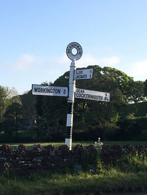
Branthwaite Edge
Settlement in Cumberland Allerdale
England
Branthwaite Edge
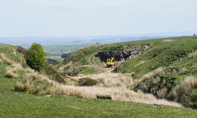
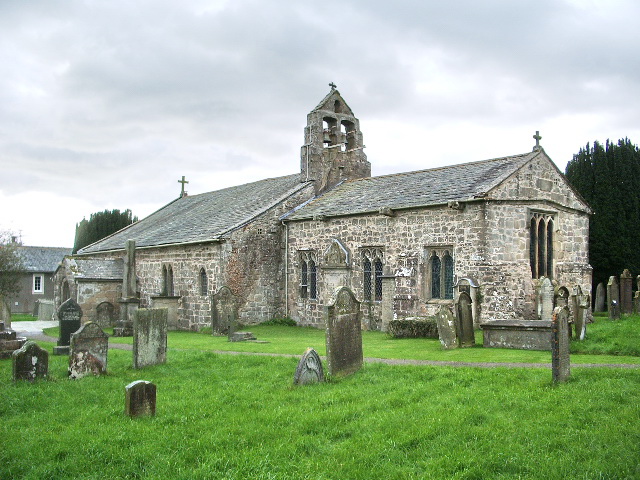
Branthwaite Edge is a small village located in the county of Cumberland, in the northwest of England. Situated amidst the picturesque landscape of the Lake District, it is known for its stunning natural beauty and tranquil setting. The village is nestled on the edge of Branthwaite Forest, a vast woodland that covers a significant portion of the area.
The village itself is characterized by its charming cottages and traditional architecture, which give it a quaint and timeless appearance. It is home to a close-knit community, with a population of around 200 residents. The locals take great pride in their village and strive to preserve its historical heritage.
Branthwaite Edge offers a range of outdoor activities, making it a popular destination for nature enthusiasts. The nearby Branthwaite Lake provides opportunities for fishing and boating, while the surrounding forests offer walking and hiking trails for visitors to explore. The area is also known for its diverse wildlife, with sightings of deer, red squirrels, and various bird species being common.
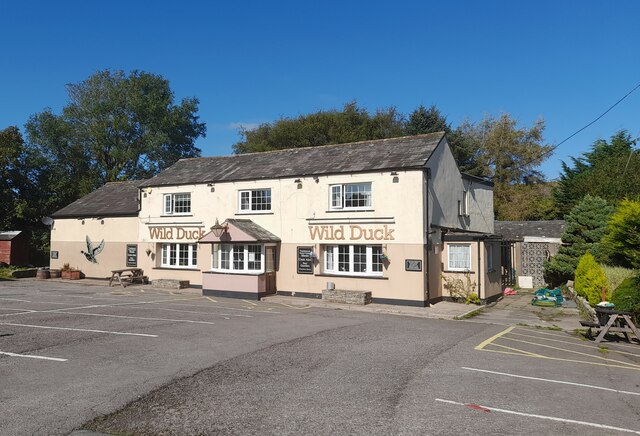
The village lacks many modern amenities, with only a small shop and a pub serving as the main social gathering place. However, its peaceful and idyllic atmosphere more than compensates for the lack of facilities. For those seeking a serene and tranquil escape from the hustle and bustle of city life, Branthwaite Edge offers the perfect retreat amidst the natural beauty of the Lake District.
If you have any feedback on the listing, please let us know in the comments section below.
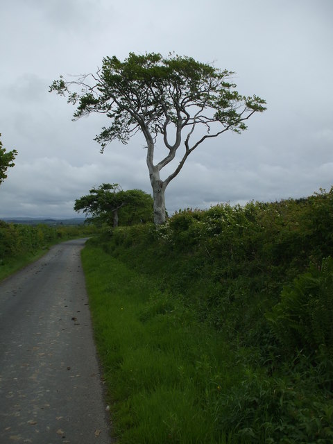
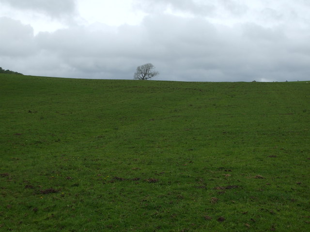
Branthwaite Edge Images
Images are sourced within 2km of 54.602207/-3.4721169 or Grid Reference NY0524. Thanks to Geograph Open Source API. All images are credited.


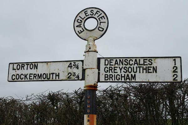
Branthwaite Edge is located at Grid Ref: NY0524 (Lat: 54.602207, Lng: -3.4721169)
Administrative County: Cumbria
District: Allerdale
Police Authority: Cumbria
What 3 Words
///tailwind.expose.mouse. Near Distington, Cumbria
Nearby Locations
Related Wikis

Branthwaite Edge
Branthwaite Edge is a hamlet in Cumbria, England. == References ==

Branthwaite
Branthwaite is a hamlet in Cumbria, England. The hamlet is approximately 5 mi (8 km) from Workington and 7 mi (11 km) from Cockermouth. It is located just...
Browtop
Browtop is a village in Cumbria, England. It is also an area of Keswick where Francis Galton stayed (In Galton's biography, Karl Pearson states that "Browtop...
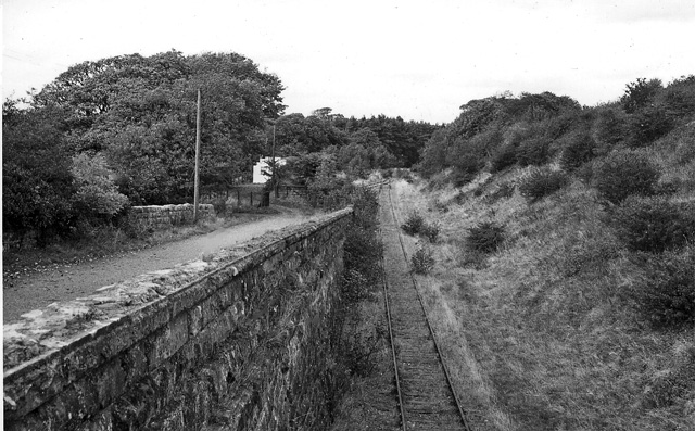
Branthwaite railway station
Branthwaite railway station was built by the Whitehaven, Cleator and Egremont Railway. It served the village of Branthwaite, Cumbria, England. == History... ==
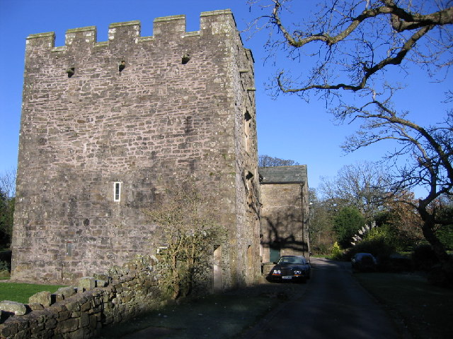
Branthwaite Hall
Branthwaite Hall is pele tower in Cumbria, England, considered by historian Anthony Emery to be "one of the best-preserved early houses in Cumbria"....
Ullock railway station
Ullock railway station was built by the Whitehaven, Cleator and Egremont Railway. It served the village of Ullock, Cumbria, England. == History == The...
St Oswald's Church, Dean
St Oswald's Church is in the village of Dean, Cumbria, England. It is an active Anglican parish church in the deanery of Derwent, the archdeaconry of...

Ullock
Ullock is a village in Cumbria, England, located at National Grid reference NY076239, approximately 5 miles (8.0 km) south west of Cockermouth and 5.4...
Nearby Amenities
Located within 500m of 54.602207,-3.4721169Have you been to Branthwaite Edge?
Leave your review of Branthwaite Edge below (or comments, questions and feedback).