Bransty
Settlement in Cumberland Copeland
England
Bransty
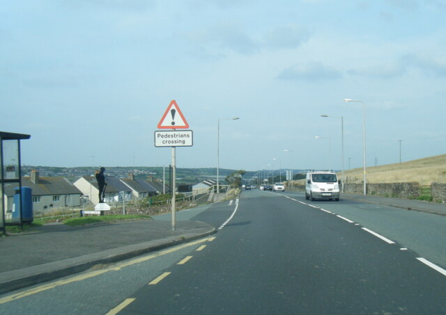
Bransty is a small village located in the county of Cumberland, in northwest England. Situated on the coast, it is part of the larger town of Whitehaven. With a population of around 2,000 residents, it offers a peaceful and tight-knit community atmosphere.
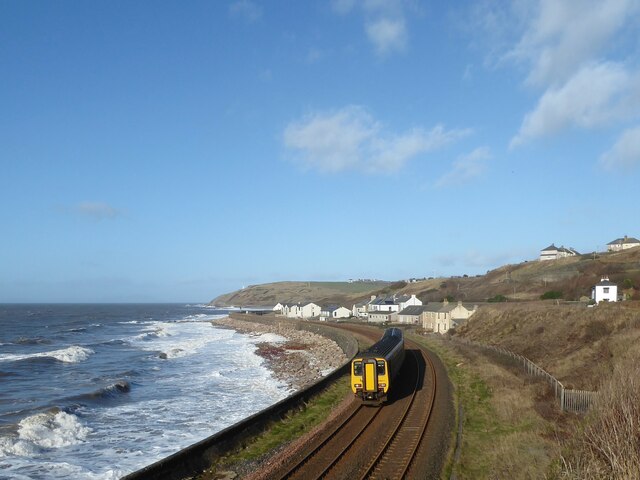
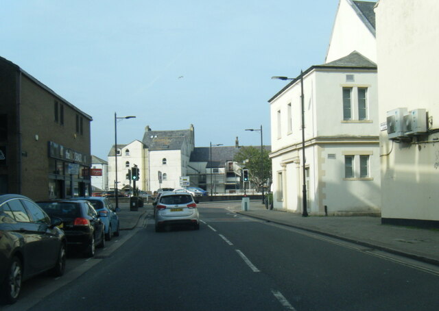
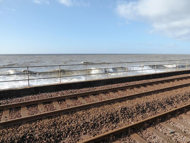
The village is characterized by its picturesque surroundings, with stunning views of the Irish Sea and the nearby Cumbrian Mountains. Bransty is known for its charming Victorian-era architecture, with many well-preserved buildings adding to its historical charm.
The village is home to a number of amenities and facilities that cater to the needs of its residents. These include a primary school, a community center, a post office, and several shops and local businesses. There are also several parks and green spaces, providing opportunities for outdoor activities and leisure.
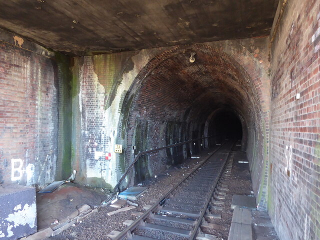
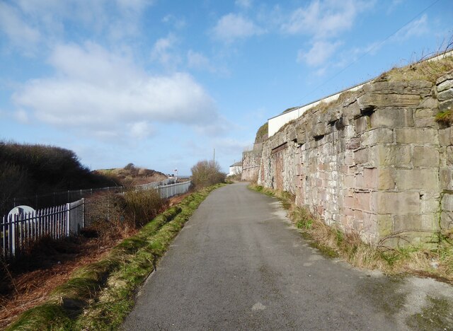
Bransty has a rich history, with evidence of human habitation dating back to Roman times. The village played a significant role in the development of the coal mining industry in the region during the 18th and 19th centuries. Today, remnants of this industrial past can still be seen, offering a glimpse into the village's heritage.
Despite its small size, Bransty benefits from its close proximity to Whitehaven, which provides additional amenities and services. The larger town offers a wider range of shopping, entertainment, and employment opportunities, making it easily accessible for Bransty's residents.
Overall, Bransty is a charming and idyllic village, offering a perfect blend of natural beauty, historical significance, and community spirit.
If you have any feedback on the listing, please let us know in the comments section below.
Bransty Images
Images are sourced within 2km of 54.556307/-3.585082 or Grid Reference NX9719. Thanks to Geograph Open Source API. All images are credited.


Bransty is located at Grid Ref: NX9719 (Lat: 54.556307, Lng: -3.585082)
Administrative County: Cumbria
District: Copeland
Police Authority: Cumbria
What 3 Words
///broke.single.fired. Near Whitehaven, Cumbria
Nearby Locations
Related Wikis

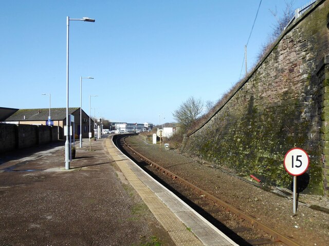
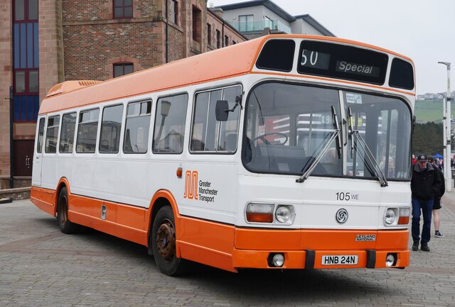
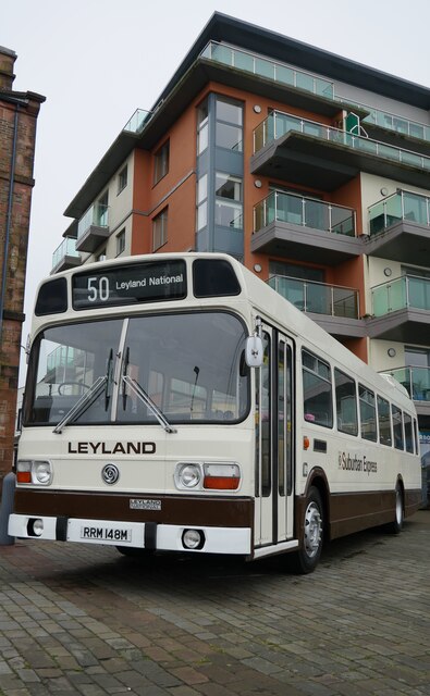
Whitehaven railway station
Whitehaven railway station is a railway station serving the coastal town of Whitehaven in Cumbria, England. It is on the Cumbrian Coast line, which runs...
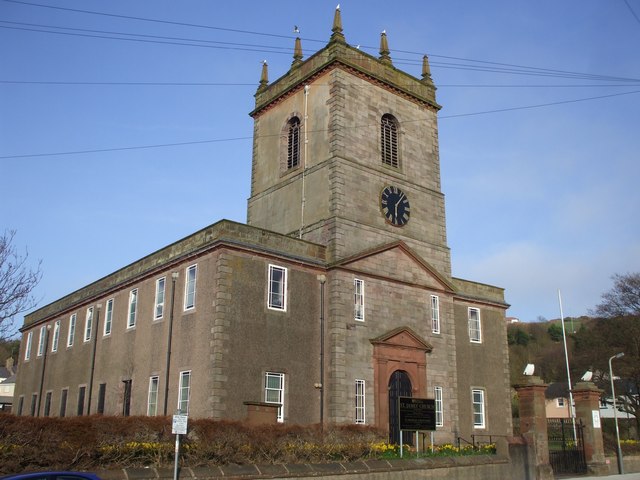
St James' Church, Whitehaven
St James' Church is in High Street, Whitehaven, Cumbria, England, at the crossing with the top of Queen Street. It stands in an elevated position overlooking...

Bransty
Bransty is a suburb of Whitehaven in Cumbria, England. It is an average sized housing estate. The centre of it, The Green, is a meeting place for children...
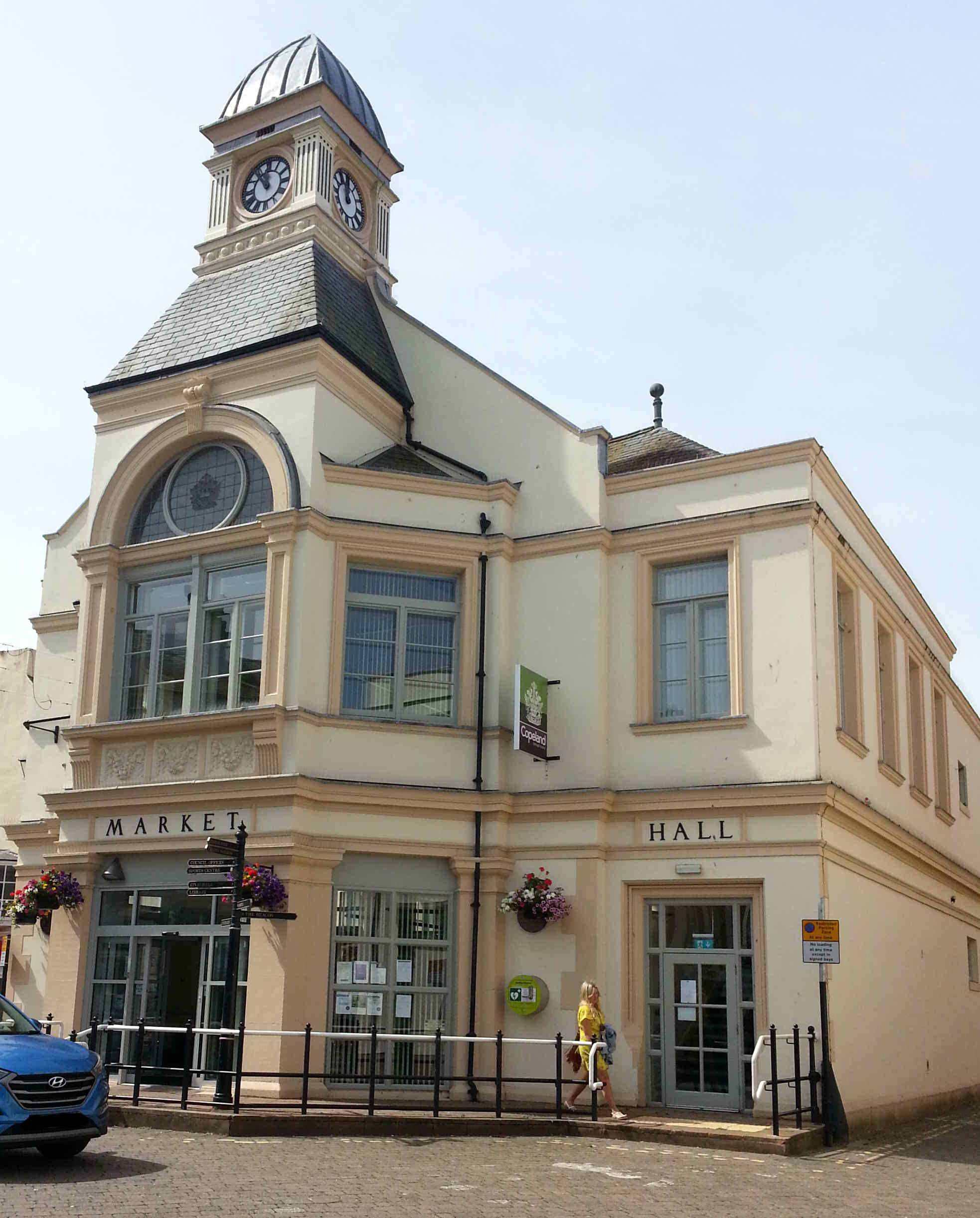
Whitehaven
Whitehaven is a town and port on the English north west coast and near to the Lake District National Park in Cumberland, Cumbria, England. It lies by road...
Nearby Amenities
Located within 500m of 54.556307,-3.585082Have you been to Bransty?
Leave your review of Bransty below (or comments, questions and feedback).