Branston Booths

Settlement in Lincolnshire North Kesteven

England

Branston Booths

Brinkle Spring Lane near Washingborough Heading south-east to nowhere in particular.
Brinkle Spring Lane near Washingborough Credit: Stephen Richards

Branston Booths is a small village located in the county of Lincolnshire, England. Situated approximately 6 miles south-east of the historic city of Lincoln, it lies on the eastern bank of the River Witham. With a population of around 400 residents, it offers a peaceful and rural setting.

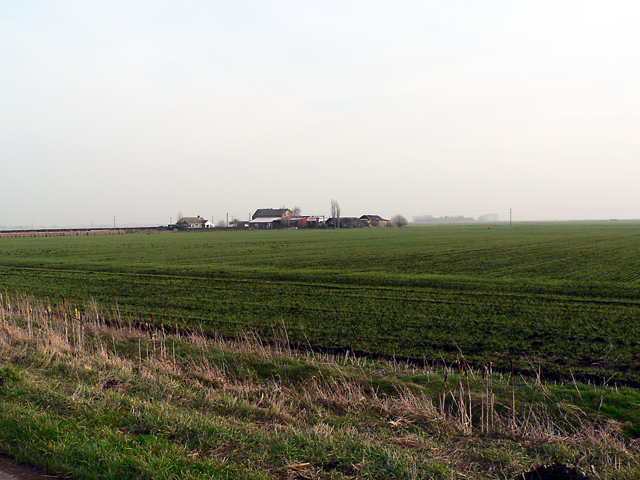
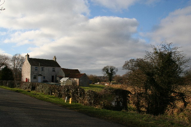
The village is known for its agricultural heritage, with a significant portion of the land used for farming purposes. The surrounding countryside is characterized by rolling hills and fertile farmland, creating a picturesque landscape. The village itself is primarily residential, with a scattering of traditional cottages and modern houses.

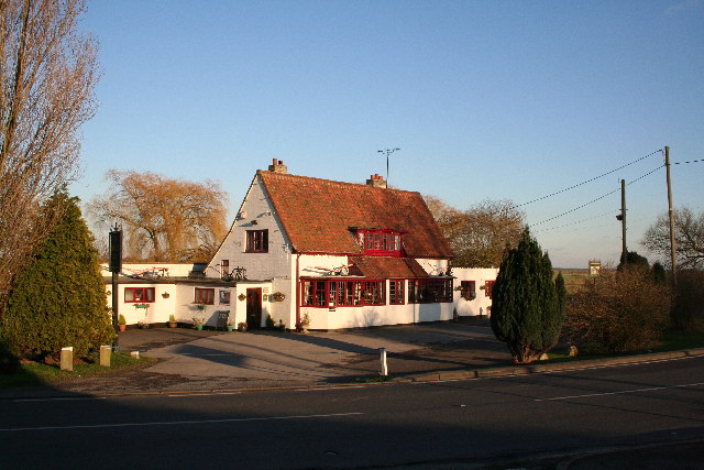
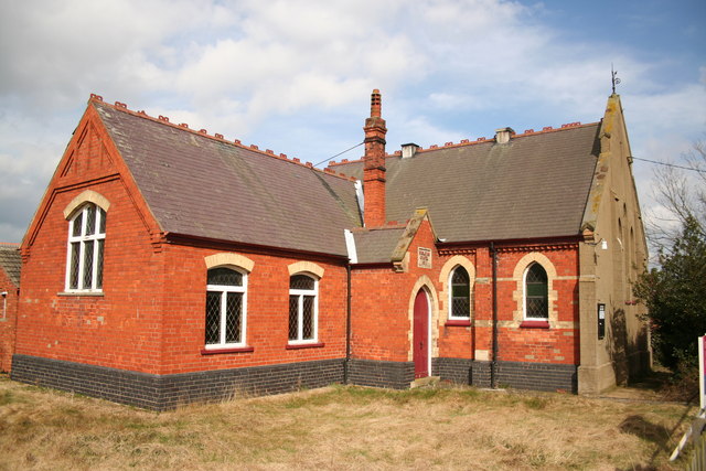
Despite its small size, Branston Booths provides a number of amenities for its residents. These include a local primary school, a village hall, and a post office. Additionally, there are several shops and services available in nearby towns for convenience.

The village benefits from its proximity to Lincoln, which offers a wider range of amenities, including shopping centers, supermarkets, restaurants, and leisure facilities. Lincoln is also renowned for its rich history, with attractions such as Lincoln Cathedral and Lincoln Castle drawing visitors from far and wide.

Branston Booths provides a peaceful and close-knit community for its residents, while also offering easy access to the amenities and attractions of the nearby city. Its rural charm and beautiful surroundings make it an attractive place to live for those seeking a quieter pace of life.

If you have any feedback on the listing, please let us know in the comments section below.

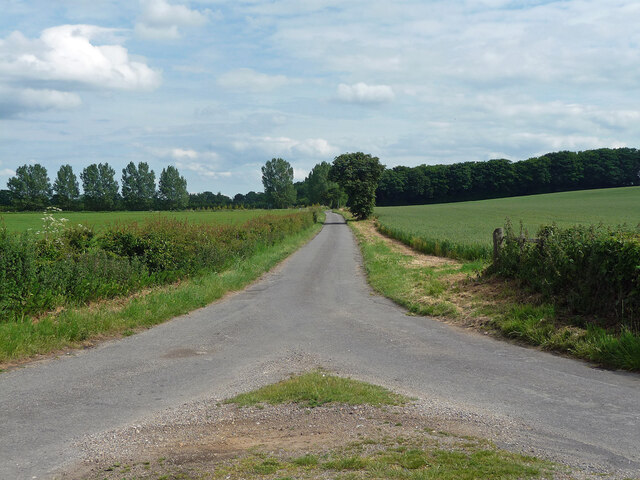
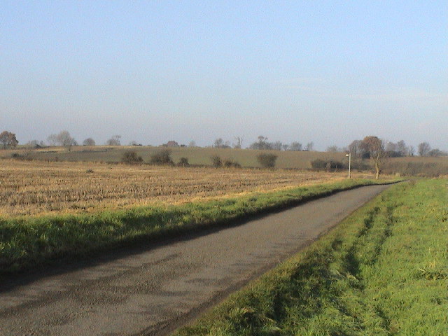
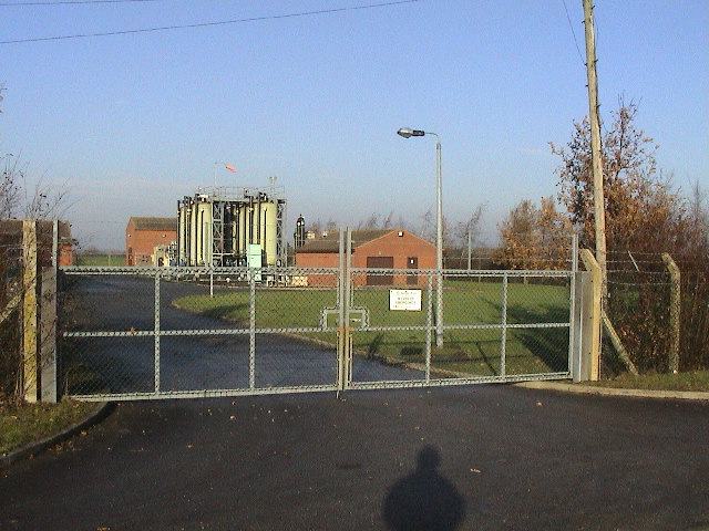
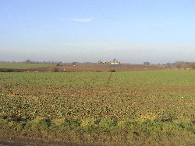
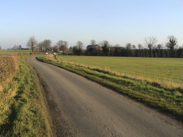
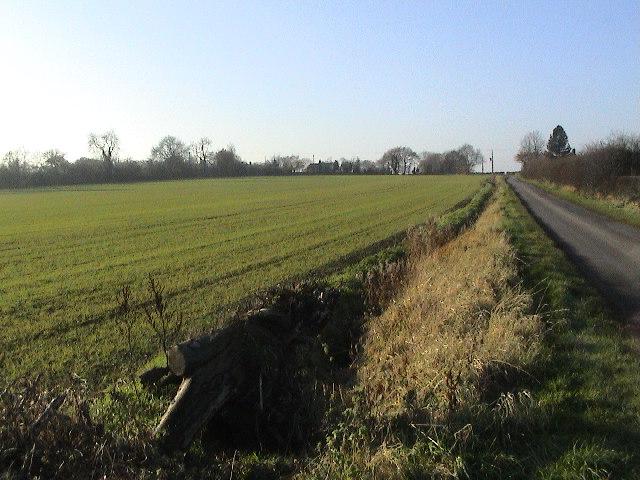
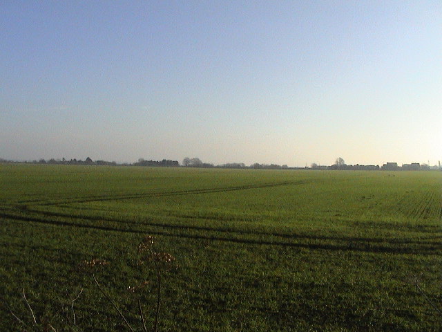
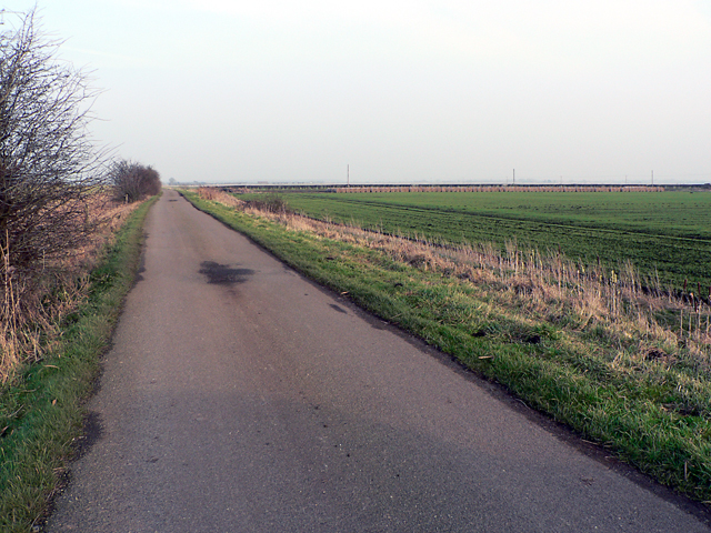
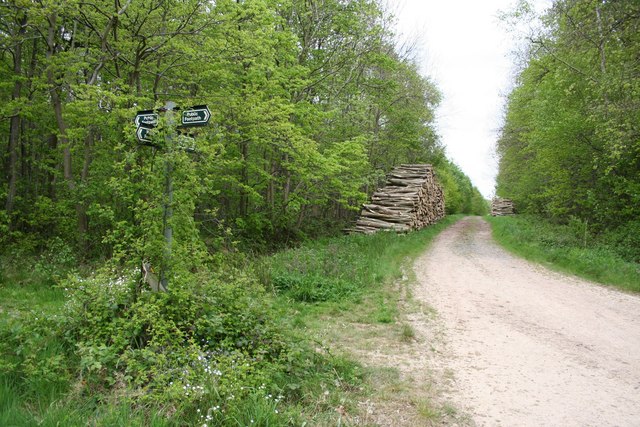
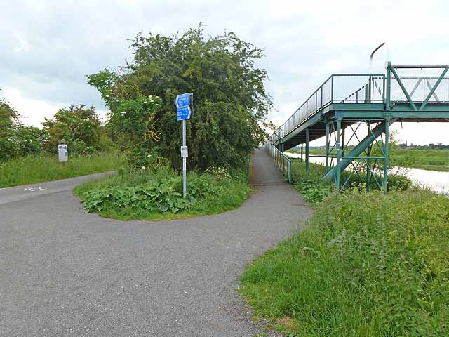
Branston Booths Images

Images are sourced within 2km of 53.208499/-0.412391 or Grid Reference TF0669. Thanks to Geograph Open Source API. All images are credited.

Brinkle Spring Lane near Washingborough Heading south-east to nowhere in particular.
Brinkle Spring Lane near Washingborough
Heading south-east to nowhere in particular.
North Causeway, Branston Fen Flat farming land, about 3 metres above sea level. There are numerous drains.
North Causeway, Branston Fen
Flat farming land, about 3 metres above sea level. There are numerous drains.
Brinkle Spring Lane Looking NW. The signpost marks the footpath.
Brinkle Spring Lane
Looking NW. The signpost marks the footpath.
Brinkle Spring Lane Looking E. Numerous drainage ditches are required to enable the intensive farming of this fertile but low-lying area where former fenland meets (very slightly) more elevated ground.
Brinkle Spring Lane
Looking E. Numerous drainage ditches are required to enable the intensive farming of this fertile but low-lying area where former fenland meets (very slightly) more elevated ground.
Road and Dyke Looking NW from opposite the pumping station. Both the B1190 and the drainage dyke run on the line of the Car Dyke roman canal at this point - the route follows the boundary between what would then have been marshy fen and slightly raised and firmer ground. See also <a href="https://www.geograph.org.uk/gridref/TL4964">TL4964</a>for a better preserved part of the same canal system far to the south near Waterbeach. Car Dyke link: <span class="nowrap"><a title="http://www.eng-h.gov.uk/archcom/projects/summarys/html96_7/1814anl.htm" rel="nofollow ugc noopener" href="http://www.eng-h.gov.uk/archcom/projects/summarys/html96_7/1814anl.htm">Link</a><img style="margin-left:2px;" alt="External link" title="External link - shift click to open in new window" src="https://s1.geograph.org.uk/img/external.png" width="10" height="10"/></span>
Road and Dyke
Looking NW from opposite the pumping station. Both the B1190 and the drainage dyke run on the line of the Car Dyke roman canal at this point - the route follows the boundary between what would then have been marshy fen and slightly raised and firmer ground. See also TL4964for a better preserved part of the same canal system far to the south near Waterbeach. Car Dyke link: LinkExternal link
Pumping Station Anglian Water pumping station on the raised B1190 near Branston Booths.
Pumping Station
Anglian Water pumping station on the raised B1190 near Branston Booths.
Winter Farmland Looking NW from Moor Lane at Stone House Farm. Third Hill Farm is on the horizon.
Winter Farmland
Looking NW from Moor Lane at Stone House Farm. Third Hill Farm is on the horizon.
Branston Moor Looking W from Moor Lane at Stone House Farm.
Branston Moor
Looking W from Moor Lane at Stone House Farm.
Branston Booths Looking E on Moor Lane. The road crosses a white-railed bridge over a drain, with the hamlet of Branston Booths in the background.
Branston Booths
Looking E on Moor Lane. The road crosses a white-railed bridge over a drain, with the hamlet of Branston Booths in the background.
Branston Moor Looking WSW up Moor Lane, with Moorland Farm in the trees on the skyline.
Branston Moor
Looking WSW up Moor Lane, with Moorland Farm in the trees on the skyline.
Flat Screen Looking E across virtually the entire grid square. Roofs of White House Farm, Branston Booths can be seen on the right horizon.
Flat Screen
Looking E across virtually the entire grid square. Roofs of White House Farm, Branston Booths can be seen on the right horizon.
Washingborough Fen Road looking northeast
Washingborough
Fen Road looking northeast
Branston Fen North Causeway looking northeast
Branston Fen
North Causeway looking northeast
Branston Fen Red House Farm from North Causeway
Branston Fen
Red House Farm from North Causeway
Fen Road/Low Park Lane junction. Washingborough and Heighington
Fen Road/Low Park Lane junction.
Washingborough and Heighington
The Plough Inn At the foot of the hill at Potterhanworth Booths, the Plough Inn is the only pub for miles
The Plough Inn
At the foot of the hill at Potterhanworth Booths, the Plough Inn is the only pub for miles
Blabber House Farm
Blabber House Farm
Branston Booths Wesleyan Chapel Built in 1911, now redundant and for sale
Branston Booths Wesleyan Chapel
Built in 1911, now redundant and for sale
Show me another place!

Branston Booths is located at Grid Ref: TF0669 (Lat: 53.208499, Lng: -0.412391)

Division: Parts of Kesteven

Administrative County: Lincolnshire

District: North Kesteven

Police Authority: Lincolnshire

What 3 Words

///gangway.washroom.foil. Near Reepham, Lincolnshire

Nearby Locations

Branston Booths

Related Wikis

Branston Booths

Branston Booths is a small village in the North Kesteven district of Lincolnshire, England. The village is situated approximately 5 miles (8 km) east from...

Potterhanworth Booths

Potterhanworth Booths is a hamlet in the North Kesteven district of Lincolnshire, England. It is situated 6 miles (10 km) south-east from Lincoln, and...

Potterhanworth Wood

Potterhanworth Wood (grid reference TF070670) is a 32.0 hectare woodland, close to the village of Potterhanworth in North Kesteven, Lincolnshire, England...

Five Mile House railway station

Five Mile House was a railway station on the Lincolnshire Loop Line which served the village of Fiskerton in Lincolnshire between 1848 and 1964. Situated...

Nearby Amenities

Located within 500m of 53.208499,-0.412391
Branston Booths
Is In: Lincolnshire, England, UK
Place: hamlet
Source: NPE
Lat/Long: 53.2083797/-0.4095888
Bus Stop
Moor Lane
Naptan AtcoCode: 270000009997
Naptan Bearing: SE
Naptan CommonName: Moor Lane
Naptan Indicator: opp
Naptan Landmark: Moor Lane
Naptan NaptanCode: linjgmtg
Naptan Street: B1190
Naptan Verified: no
Source: naptan_import
Lat/Long: 53.208644/-0.412451
Bus Stop
Moor Lane
Naptan AtcoCode: 2700LBBT5043
Naptan Bearing: NW
Naptan CommonName: Moor Lane
Naptan Indicator: adj
Naptan Landmark: Moor Lane
Naptan NaptanCode: lindpmda
Naptan Street: B1190
Naptan Verified: no
Source: naptan_import
Lat/Long: 53.2085918/-0.4125877
Power: pole
Lat/Long: 53.2055548/-0.4100216
Power: pole
Lat/Long: 53.2052686/-0.4084307
Power: pole
Lat/Long: 53.2071273/-0.4133459
Power: pole
Lat/Long: 53.2060092/-0.4138877
Power: pole
Lat/Long: 53.2065131/-0.4124999
Power: pole
Lat/Long: 53.2059/-0.4116628
Power: pole
Lat/Long: 53.2062052/-0.4083033
Power: pole
Lat/Long: 53.2074366/-0.4051102
Power: pole
Lat/Long: 53.205855/-0.4092005
Power: pole
Lat/Long: 53.2066526/-0.4071393
Power: pole
Lat/Long: 53.205271/-0.4108018
Power: pole
Lat/Long: 53.2071088/-0.405951
Branston Lodge Farm
Place: farm
Source: Bing
Lat/Long: 53.2061685/-0.417511
Corporation Farm
Place: farm
Source: Bing
Lat/Long: 53.2092075/-0.4134981
Heron Cottage
Place: isolated_dwelling
Source: Bing
Lat/Long: 53.2102405/-0.4066409
Power: pole
Lat/Long: 53.2047345/-0.4098952
Defibrillator
Access: yes
Defibrillator Location: outside Branston Booths Village Hall
Emergency: defibrillator
Indoor: no
Ref GB The Circuit: F777B373-F24B-44E2-AEE1-DFF96802E761
Lat/Long: 53.209035/-0.4106803
Entrance: yes
Lat/Long: 53.2090454/-0.4106033
Post Box
Post Box Type: lamp
Royal Cypher: EIIR
Lat/Long: 53.2086835/-0.4121831
Leisure: playground
Lat/Long: 53.2080542/-0.4126289
Advertising: board
Lat/Long: 53.2081496/-0.4129702
The data included in this document is from www.openstreetmap.org. The data is made available under ODbL.

Have you been to Branston Booths?

Leave your review of Branston Booths below (or comments, questions and feedback).