Brandon Hill
Settlement in Surrey
England
Brandon Hill
Brandon Hill is a small village located in the county of Surrey, in the southeastern region of England. Situated approximately 20 miles southwest of London, the village is part of the larger district of Elmbridge.
Known for its picturesque countryside and tranquil atmosphere, Brandon Hill offers a peaceful retreat from the hustle and bustle of city life. The village is characterized by its charming cottages, well-manicured gardens, and idyllic landscapes. It is surrounded by rolling hills, lush meadows, and dense woodlands, providing ample opportunities for outdoor activities such as hiking, cycling, and horseback riding.
Despite its small size, Brandon Hill boasts a strong sense of community. The village features a local pub, a village hall, and a village green, where residents often gather for social events and recreational activities. Additionally, the village is home to a primary school, providing education for the younger members of the community.
Residents of Brandon Hill enjoy easy access to nearby towns and cities. The village is located within close proximity to the town of Cobham, which offers a range of amenities including shops, restaurants, and leisure facilities. The larger town of Weybridge is also nearby, providing further options for shopping, dining, and entertainment.
Overall, Brandon Hill is a charming village that combines the tranquility of rural living with the convenience of nearby urban centers. Its natural beauty, strong community spirit, and convenient location make it an attractive place to live for those seeking a peaceful and picturesque setting within easy reach of city amenities.
If you have any feedback on the listing, please let us know in the comments section below.
Brandon Hill Images
Images are sourced within 2km of 51.36043/-0.1485759 or Grid Reference TQ2964. Thanks to Geograph Open Source API. All images are credited.


Brandon Hill is located at Grid Ref: TQ2964 (Lat: 51.36043, Lng: -0.1485759)
Unitary Authority: Sutton
Police Authority: Metropolitan
What 3 Words
///crisp.soon.bond. Near Carshalton, London
Nearby Locations
Related Wikis

Carshalton and Wallington (UK Parliament constituency)
Carshalton and Wallington is a constituency (also known as a seat) represented in the House of Commons of the Parliament of the United Kingdom since 2019...
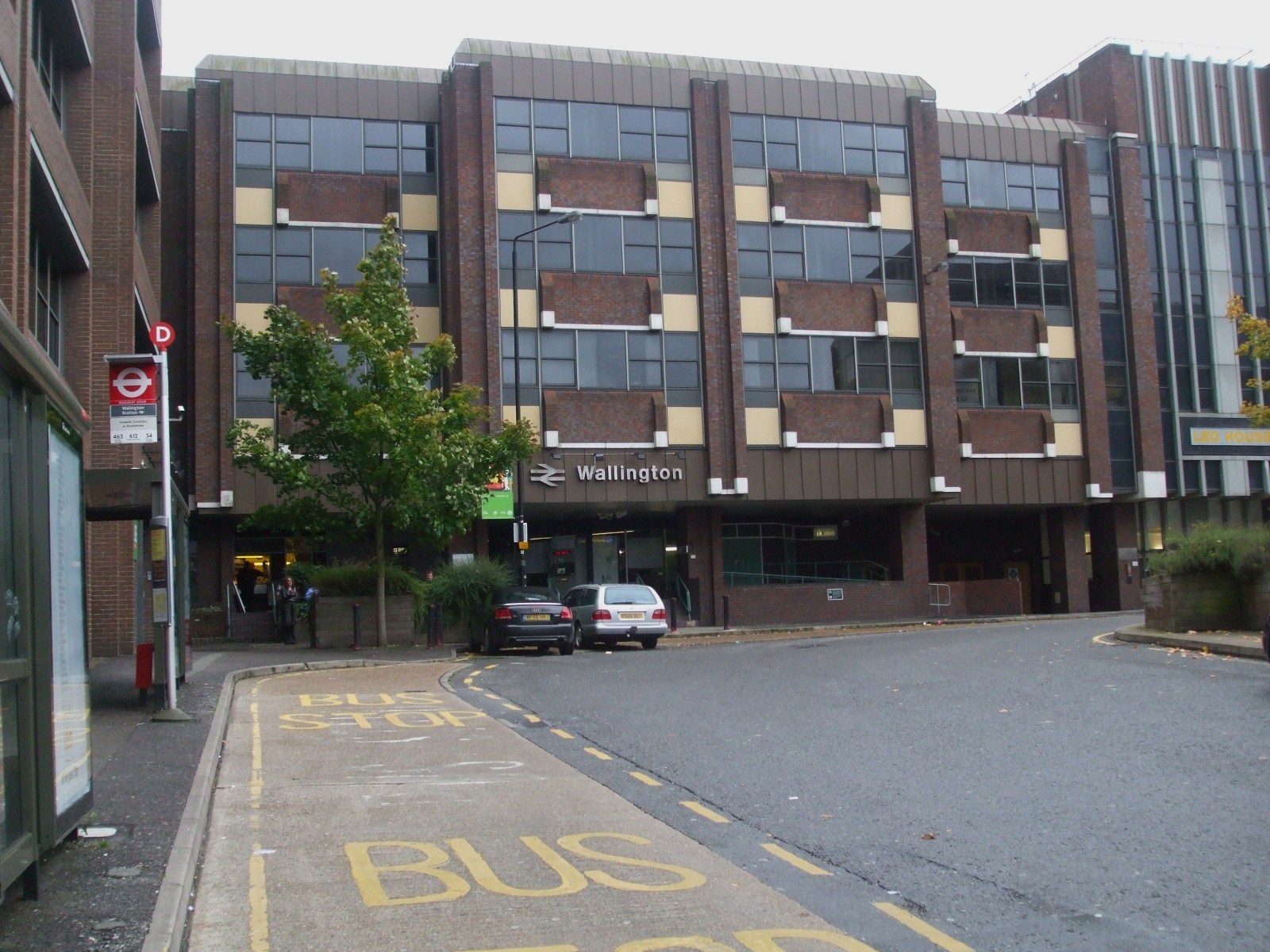
Wallington railway station
Wallington railway station is in the London Borough of Sutton in south London. The station, and all trains serving it, is operated by Southern, and is...

British Industrial Biological Research Association
The British Industrial Biological Research Association was a government-run research association in the UK, and is now a private company, that investigates...
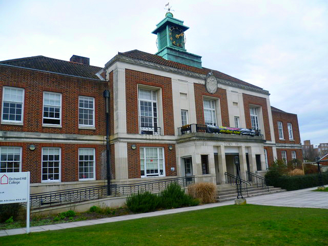
Wallington Town Hall
Wallington Town Hall is a municipal building in Woodcote Road, Wallington, London. It is a Grade II listed building. == History == In the early 20th century...
Municipal Borough of Beddington and Wallington
Beddington and Wallington was, from 1915 to 1965, a local government district in north east Surrey, England. It formed part of the London suburbs, lying...
Wallington, London
Wallington is a town in the London Borough of Sutton, South London, England, 9.7 miles (15.6 km) south-west of Charing Cross. Before the Municipal Borough...
Oaks Park High School, Carshalton
Oaks Park High School (formerly Stanley Park High School) is a coeducational secondary school and sixth form located in the Carshalton area of the London...
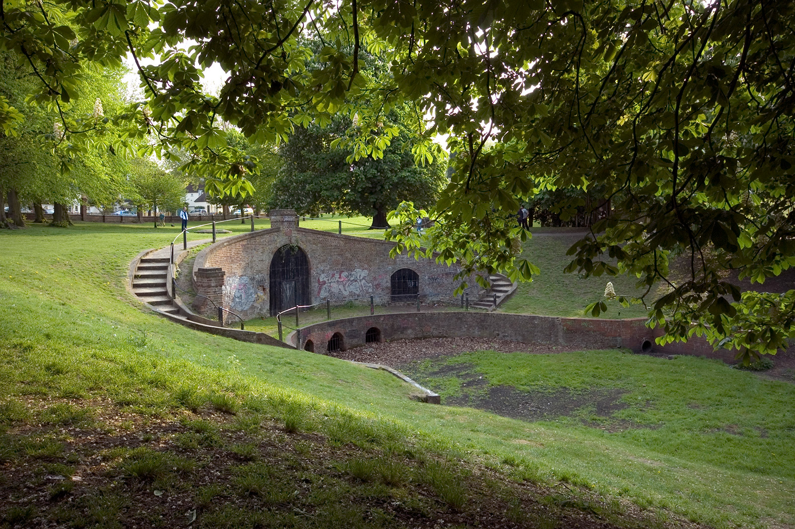
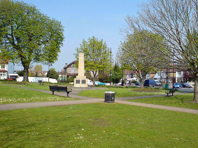
Carshalton Park
Carshalton Park is a public park in Carshalton, in the London Borough of Sutton. It is situated south of the High Street, in the area bounded by Ruskin...
Related Videos
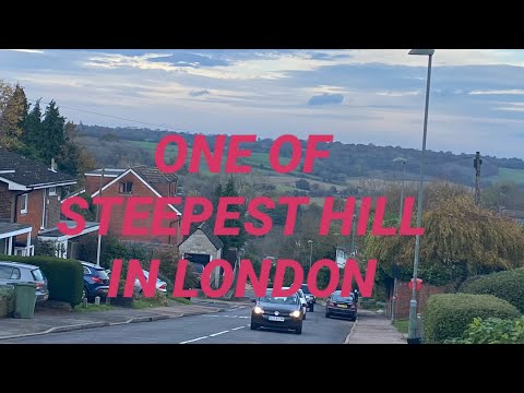
#walking#bustrip ONE OF THE STEEPEST HILL IN LONDON
A mother of 2 boys, happily married ..A Filipino vlogger living in London my Vlogs are about life style , family vlog, motherhood, ...
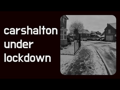
Walking London UK - Carshalton-On-The-Hill under Covid lockdown
Walking London UK - Carshalton-On-The-Hill under Covid lockdown 9 February 2021 Tuesday ...

London walking tour 2022,relaxing time in Beddington park
One of very beautiful park in South of London “BEDDINGTON PARK” amazing and quite park in London.
Nearby Amenities
Located within 500m of 51.36043,-0.1485759Have you been to Brandon Hill?
Leave your review of Brandon Hill below (or comments, questions and feedback).