Wilsham
Settlement in Devon North Devon
England
Wilsham
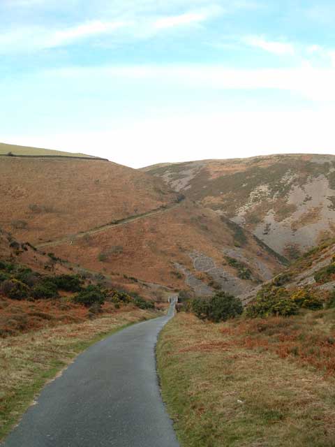
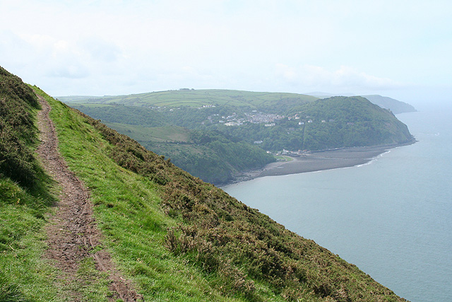
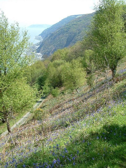
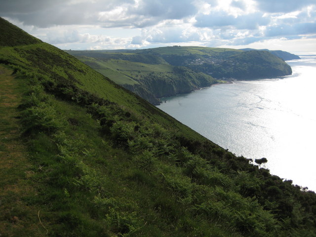
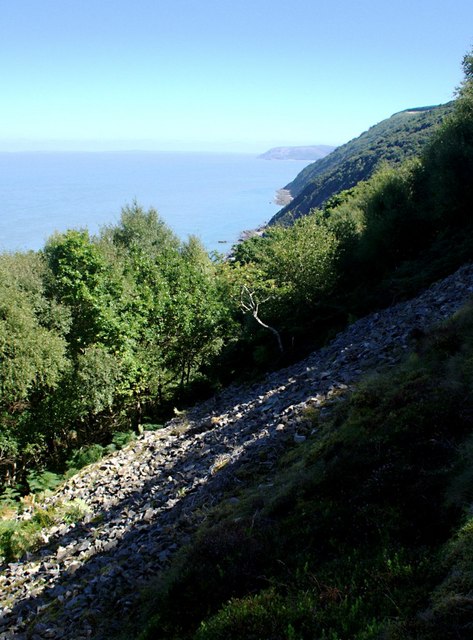
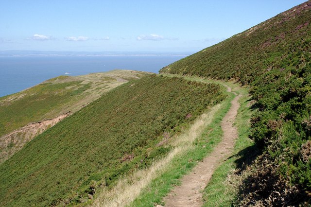
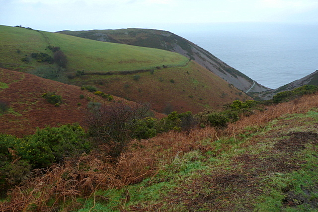
Wilsham is a small village located in the county of Devon, England. Situated on the eastern edge of Exmoor National Park, it lies approximately 2 miles northwest of the town of Dulverton. The village is nestled amidst picturesque rolling hills, offering stunning views of the surrounding countryside.
Wilsham is known for its peaceful and tranquil atmosphere, making it an ideal destination for those seeking a relaxing getaway. The village is characterized by its charming thatched-roof cottages, which add to its traditional and rustic charm. The local community is tight-knit and welcoming, with a population of around 200 residents.
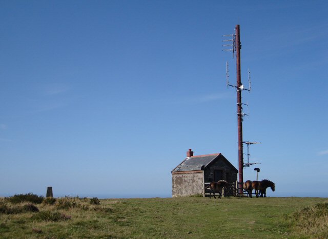
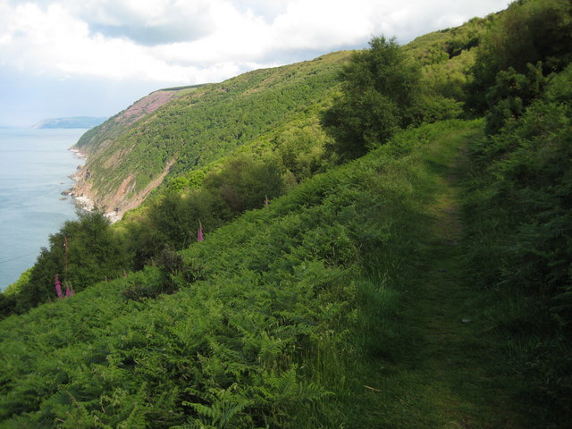
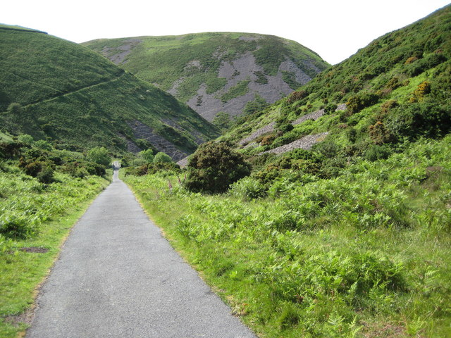
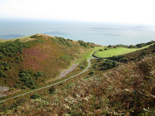
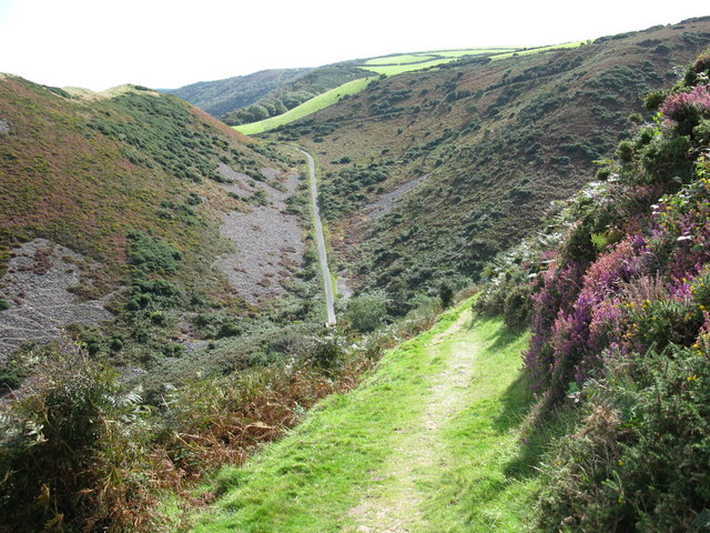
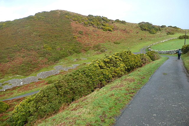
The village is surrounded by natural beauty, with ample opportunities for outdoor activities such as hiking, cycling, and horseback riding. The nearby Exmoor National Park offers extensive trails and paths that wind through its diverse landscapes, including moorland, woodland, and rivers.
In terms of amenities, Wilsham has a local pub that serves as a social hub for residents and visitors alike. For more extensive services, the nearby town of Dulverton offers a range of shops, restaurants, and other amenities.
Overall, Wilsham is a charming village that offers a tranquil retreat in the heart of Devon's stunning countryside. Its idyllic setting and proximity to nature make it a popular destination for outdoor enthusiasts and those seeking a peaceful escape from the hustle and bustle of city life.
If you have any feedback on the listing, please let us know in the comments section below.
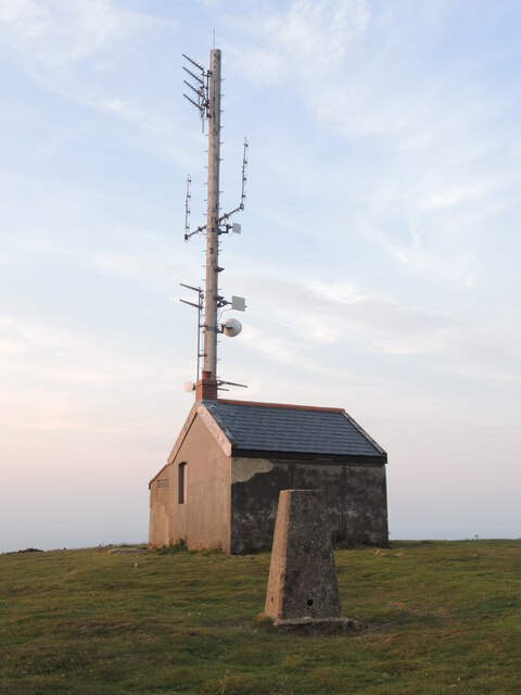
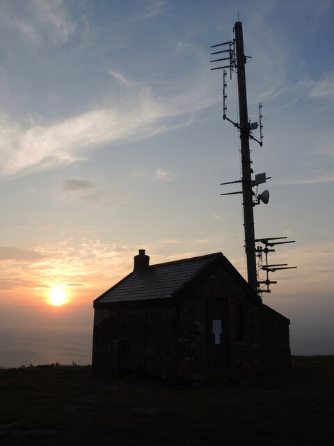
Wilsham Images
Images are sourced within 2km of 51.221469/-3.7822602 or Grid Reference SS7548. Thanks to Geograph Open Source API. All images are credited.


Wilsham is located at Grid Ref: SS7548 (Lat: 51.221469, Lng: -3.7822602)
Administrative County: Devon
District: North Devon
Police Authority: Devon and Cornwall
What 3 Words
///ruled.retail.relations. Near Lynton, Devon
Nearby Locations
Related Wikis
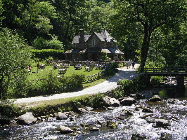
Watersmeet House
Watersmeet House is a National Trust property located some 1.8 miles (2.9 km) east of Lynmouth, in the English county of Devon. A former fishing lodge...
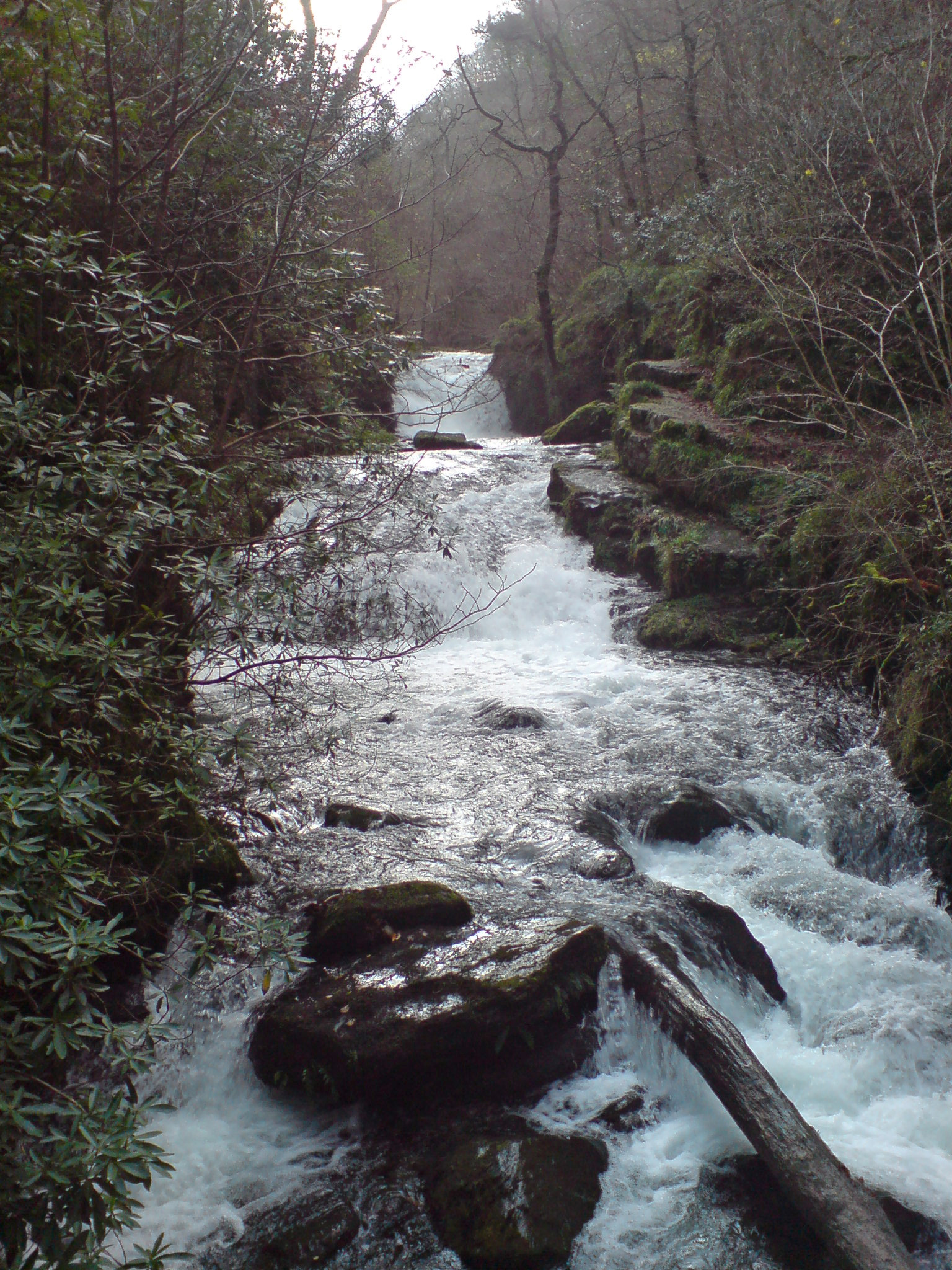
Hoar Oak Water
Hoar Oak Water is a moorland tributary of the East Lyn River in Exmoor, Somerset, England. It rises at Hoaroak Hill in the Chains geological site and flows...

Brendon
Brendon is a village and former civil parish, now in the parish of Brendon and Countisbury, in the North Devon district, in the county of Devon, England...
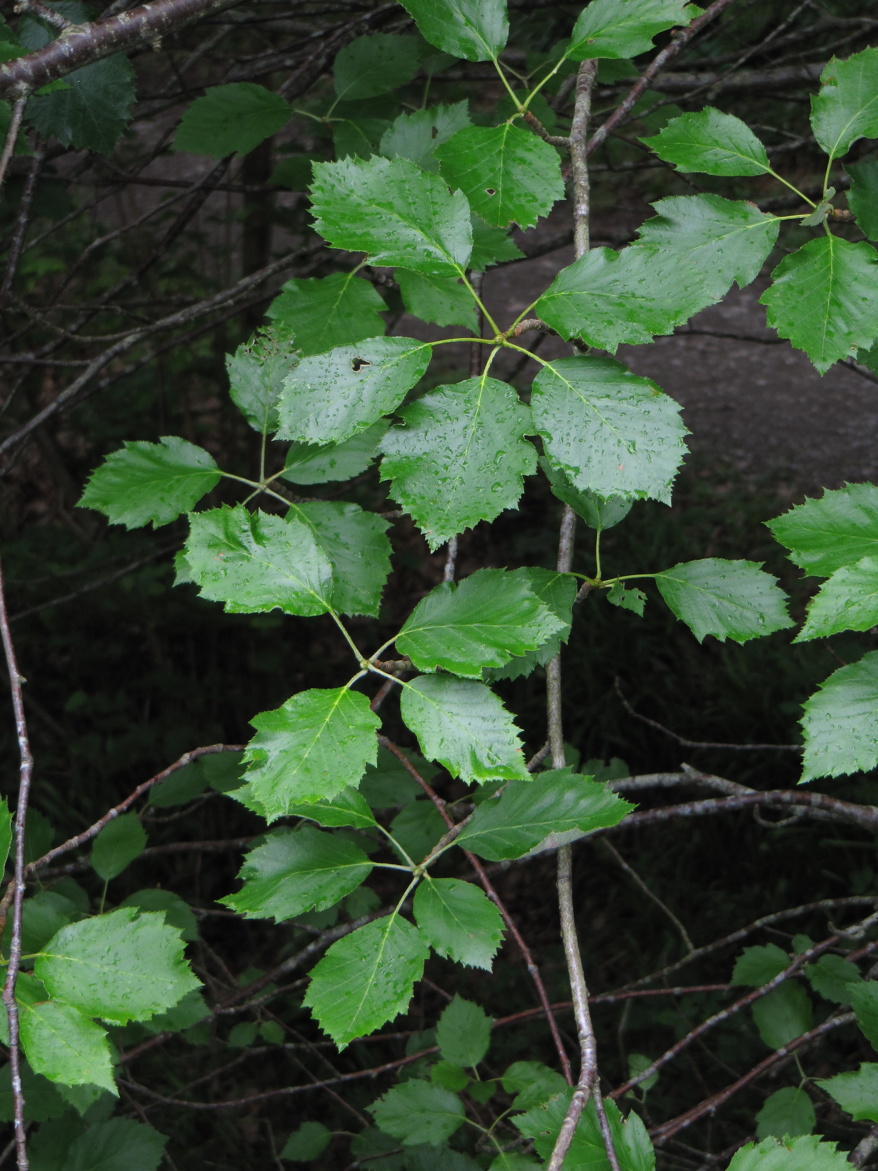
Karpatiosorbus admonitor
Karpatiosorbus admonitor, previously classified as Sorbus admonitor and also called the no parking whitebeam, is a species of whitebeam tree found in Devon...
Nearby Amenities
Located within 500m of 51.221469,-3.7822602Have you been to Wilsham?
Leave your review of Wilsham below (or comments, questions and feedback).