Brandon Bank

Settlement in Norfolk King's Lynn and West Norfolk

England

Brandon Bank

Stokes Farm, Anchor Drove
Stokes Farm, Anchor Drove Credit: Hugh Venables

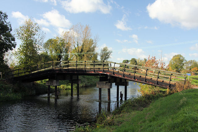
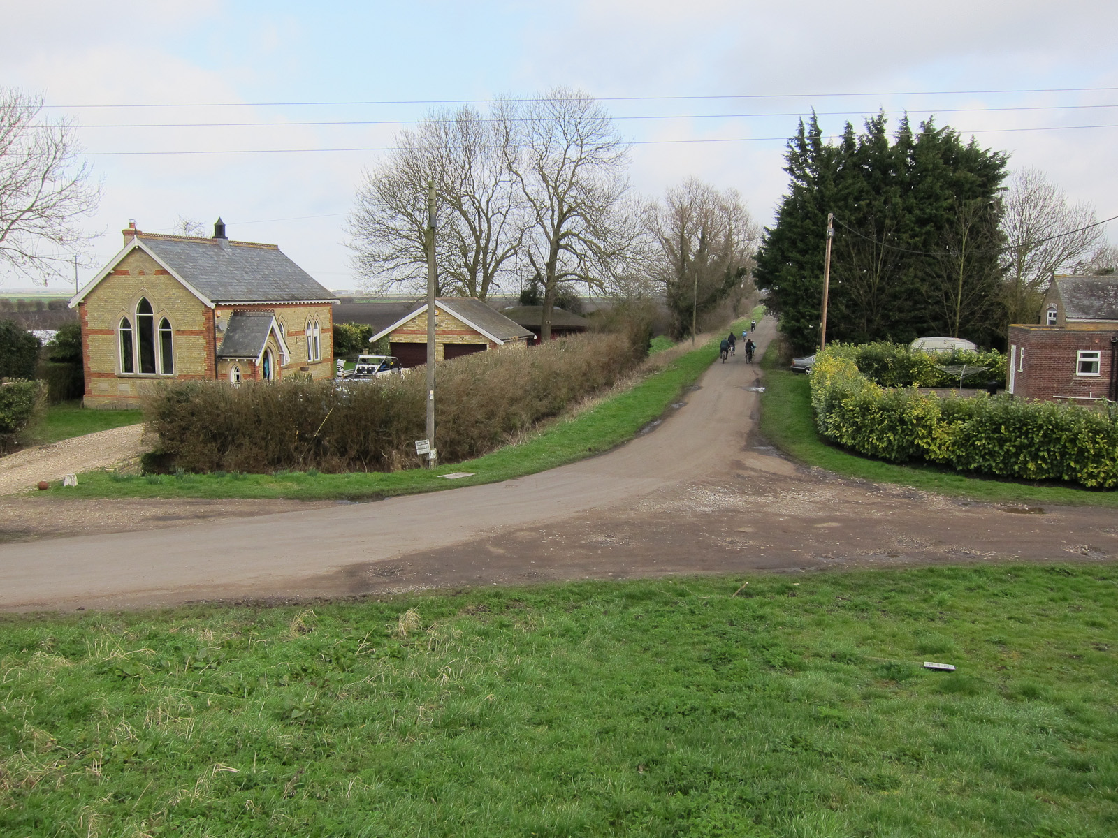
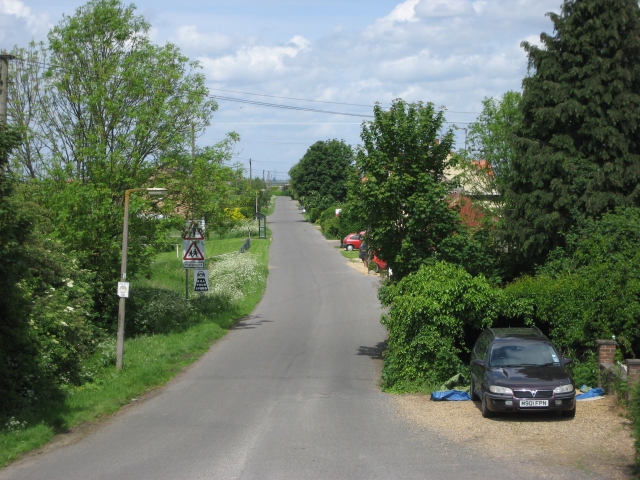
Brandon Bank is a small village located in the county of Norfolk, England. Situated on the western banks of the River Little Ouse, it lies within the Breckland District and is approximately 10 miles northeast of the town of Thetford. The village is surrounded by picturesque countryside, with vast expanses of farmland and tranquil rural landscapes.

Known for its rich agricultural heritage, Brandon Bank is predominantly a farming community. The fertile soil and favorable climate of the region have made it a prime location for growing crops such as wheat, barley, and potatoes. As a result, the village is dotted with traditional farmhouses and barns, adding to its rustic charm.

Despite its small size, Brandon Bank offers a range of amenities to its residents and visitors. The village is home to a local pub, providing a gathering place for locals and a welcoming stop for passersby. Additionally, there is a village hall that hosts various community events and activities, fostering a strong sense of community spirit.

The surrounding area offers plenty of opportunities for outdoor enthusiasts, with numerous walking and cycling trails providing access to the beautiful Norfolk countryside. The nearby Thetford Forest Park, known for its vast woodlands and diverse wildlife, is a popular destination for nature lovers and offers a range of outdoor recreational activities.

Overall, Brandon Bank offers a peaceful and idyllic setting for those looking to escape the hustle and bustle of city life and immerse themselves in the tranquility of rural Norfolk.

If you have any feedback on the listing, please let us know in the comments section below.

Brandon Bank Images

Images are sourced within 2km of 52.476064/0.391668 or Grid Reference TL6289. Thanks to Geograph Open Source API. All images are credited.

Stokes Farm, Anchor Drove
Field by Anchor Drove
Maize worms by Anchor Drove Probably destined for a nearby anaerobic digester to make "green gas", which is a very inefficient use of land for creating energy, especially if you then create electricity from the gas. See <a href="https://www.geograph.org.uk/photo/4826951">TL5987 : May Farm Anaerobic digestion plant</a>
Maize worms by Anchor Drove
Probably destined for a nearby anaerobic digester to make "green gas", which is a very inefficient use of land for creating energy, especially if you then create electricity from the gas. See TL5987 : May Farm Anaerobic digestion plant
Vegetable harvesting, Burnt Fen, near Brandon Bank: aerial 2022
Little Ouse Trigpoint (Lowest Trigpoint) Showing as -1m 

<span class="nowrap"><a title="https://trigpointing.uk/trig/4449" rel="nofollow ugc noopener" href="https://trigpointing.uk/trig/4449">Link</a><img style="margin-left:2px;" alt="External link" title="External link - shift click to open in new window" src="https://s1.geograph.org.uk/img/external.png" width="10" height="10"/></span>
Little Ouse Trigpoint (Lowest Trigpoint)
Showing as -1m LinkExternal link
Bridge on Anchor Drove Over Engine Drain
Bridge on Anchor Drove
Over Engine Drain
Engine Drain off Anchor Drove This area is below sea level, so needs continual drainage via ditches and pumping station into the Great Ouse <a href="https://www.geograph.org.uk/photo/5519068">TL6193 : Pumping Station by A10</a>
Engine Drain off Anchor Drove
This area is below sea level, so needs continual drainage via ditches and pumping station into the Great Ouse TL6193 : Pumping Station by A10
Shepherd's Drove Gated farm track to Baker's Yard
Shepherd's Drove
Gated farm track to Baker's Yard
White House Road With White House Drain running alongside.
White House Road
With White House Drain running alongside.
Stubble field, Burnt Fen
Little Ouse River Compare with <a href="https://www.geograph.org.uk/photo/1422345">TL6289 : The Little Ouse</a>, since when the house has had solar panels fitted, as part of a government backed scheme to get subsidised payments for electricity produced. The subsidy however goes through private electricity companies through higher bills so although it is effectively a private finance initiative (PFI) scheme (the panels are paid for by the home owner) it is safely away from the government accounts.
Little Ouse River
Compare with TL6289 : The Little Ouse, since when the house has had solar panels fitted, as part of a government backed scheme to get subsidised payments for electricity produced. The subsidy however goes through private electricity companies through higher bills so although it is effectively a private finance initiative (PFI) scheme (the panels are paid for by the home owner) it is safely away from the government accounts.
Lowest trig point in UK With a spot height of -1m. Water from the ditch is pumped up several metres into the river to drain the land. The area used to be a marsh before it was drained in the 18th century and the peat has since shrunk after being dried.
Lowest trig point in UK
With a spot height of -1m. Water from the ditch is pumped up several metres into the river to drain the land. The area used to be a marsh before it was drained in the 18th century and the peat has since shrunk after being dried.
Lowest trig point in UK Looking down from the bank of the Little Ouse. As is normal in the Fens, the river is several metres higher than the surrounding fields. The spot height is -1m.
Lowest trig point in UK
Looking down from the bank of the Little Ouse. As is normal in the Fens, the river is several metres higher than the surrounding fields. The spot height is -1m.
Fields by Little Ouse
Little Ouse River With a bridleway following the river bank.
Little Ouse River
With a bridleway following the river bank.
Anchor Drove from Brandon Bank With a converted chapel. The road connects to Little Ouse via a small bridge <a href="https://www.geograph.org.uk/photo/1415842">TL6289 : Little Ouse Bridge</a>.
Anchor Drove from Brandon Bank
With a converted chapel. The road connects to Little Ouse via a small bridge TL6289 : Little Ouse Bridge.
Moorings on Little Ouse River
Anchor End Farm By Little Ouse River.
Anchor End Farm
By Little Ouse River.
Show me another place!

Brandon Bank is located at Grid Ref: TL6289 (Lat: 52.476064, Lng: 0.391668)

Administrative County: Norfolk

District: King's Lynn and West Norfolk

Police Authority: Norfolk

What 3 Words

///engineers.elections.written. Near Southery, Norfolk

Related Wikis

Little Ouse, Cambridgeshire

Little Ouse is a hamlet in Littleport parish, East Cambridgeshire, England, about 3.5 miles (6 km) north-east of Littleport village. It lies on the left...

Brandon Bank

Brandon Bank is a hamlet in Cambridgeshire, England, although most of its buildings lie across the River Little Ouse in Norfolk. The population is included...

Burnt Fen

Burnt Fen is an area of low-lying land crossed by the A1101 road between Littleport in Cambridgeshire and Mildenhall in Suffolk, England. It is surrounded...

Black Horse Drove

Black Horse Drove is a linear hamlet that lies 7 miles (11 km) north-north-east of Ely in Cambridgeshire, England, in the civil parish of Littleport. The...

Nearby Amenities

Located within 500m of 52.476064,0.391668
Brandon Bank
Place: hamlet
Lat/Long: 52.475978/0.3915596
The data included in this document is from www.openstreetmap.org. The data is made available under ODbL.

Have you been to Brandon Bank?

Leave your review of Brandon Bank below (or comments, questions and feedback).