Williamstown
Settlement in Glamorgan
Wales
Williamstown
Williamstown is a small village located in the county borough of Rhondda Cynon Taf in Glamorgan, Wales. Situated in the Rhondda Valley, it is surrounded by picturesque rolling hills and green landscapes. With a population of approximately 2,500 residents, it offers a close-knit community atmosphere.
The village is known for its rich mining history, which played a significant role in the development of the area in the 19th and 20th centuries. Many of the older houses in Williamstown were built to accommodate the coal miners and their families. Today, remnants of the mining industry can still be seen, with some preserved pitheads and mining memorials.
Despite its small size, Williamstown offers a range of amenities for its residents. It has a primary school, a community center, and a local convenience store, providing essential services to the community. The village also boasts several recreational facilities, including parks and sports fields, which are popular gathering places for residents.
The surrounding natural beauty of Williamstown makes it an attractive location for outdoor enthusiasts. There are numerous walking and hiking trails in the nearby hills, offering stunning views of the valley. Additionally, the village is well-connected to public transportation, making it easily accessible to those wishing to explore the wider Glamorgan region.
In recent years, Williamstown has undergone some revitalization efforts, with the restoration of historic buildings and the promotion of local businesses. These efforts have helped to preserve the village's charm and character while also attracting visitors and investment to the area.
If you have any feedback on the listing, please let us know in the comments section below.
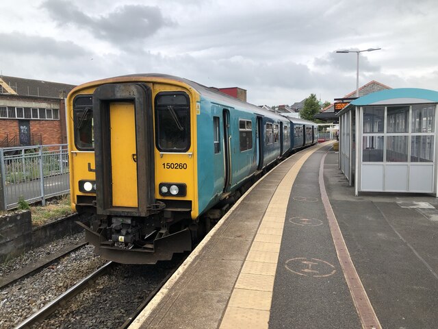
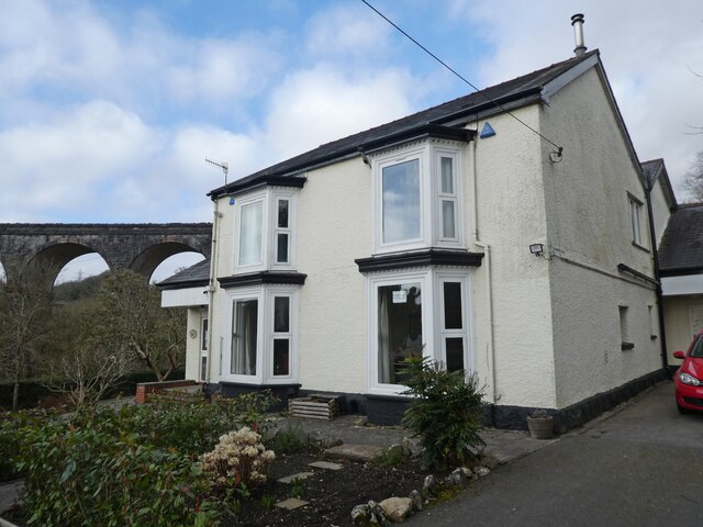
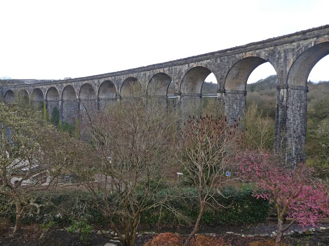
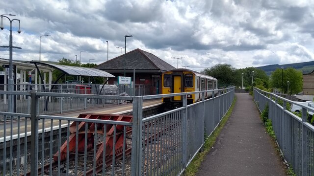
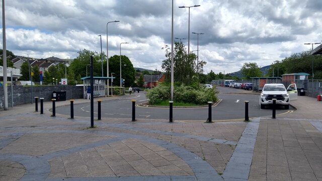
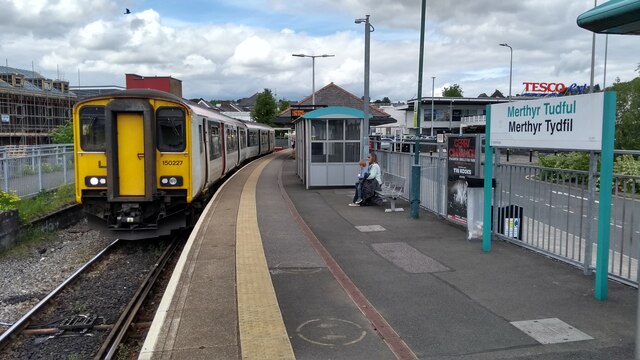
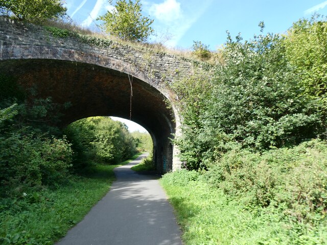
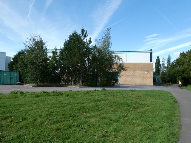
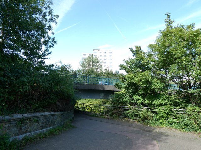
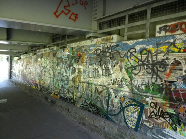
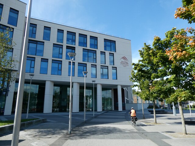
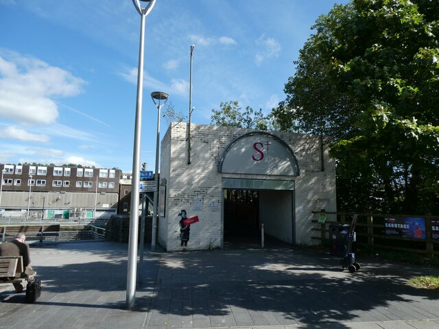
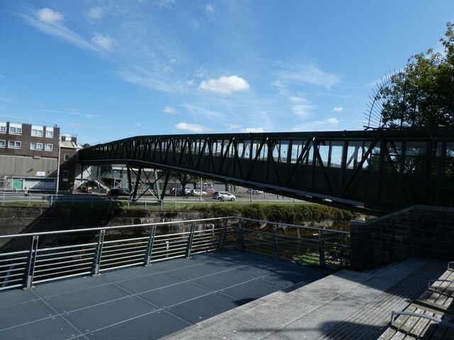
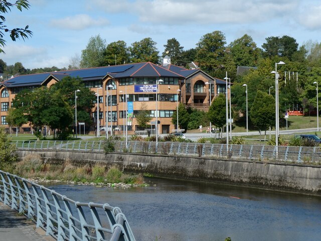
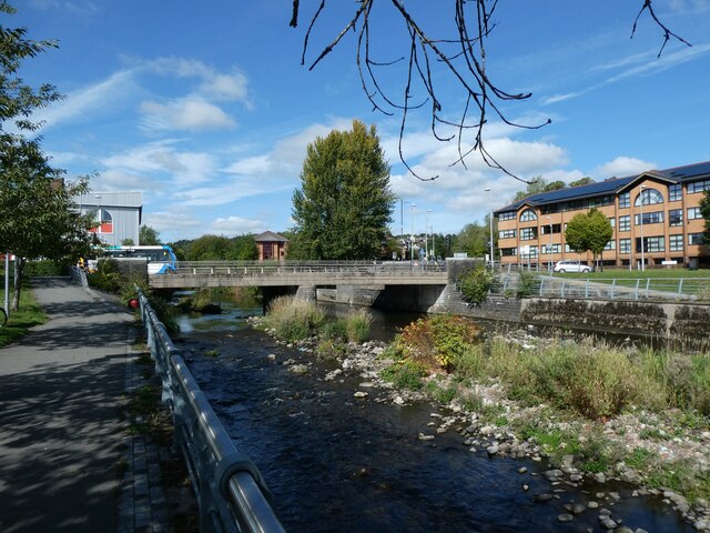
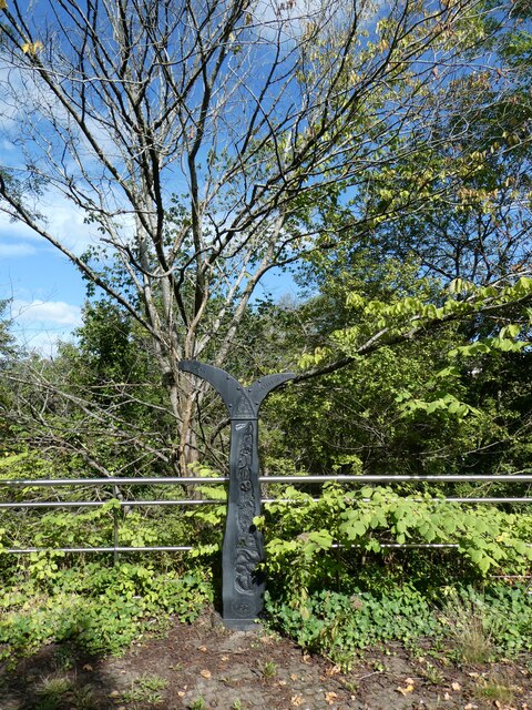
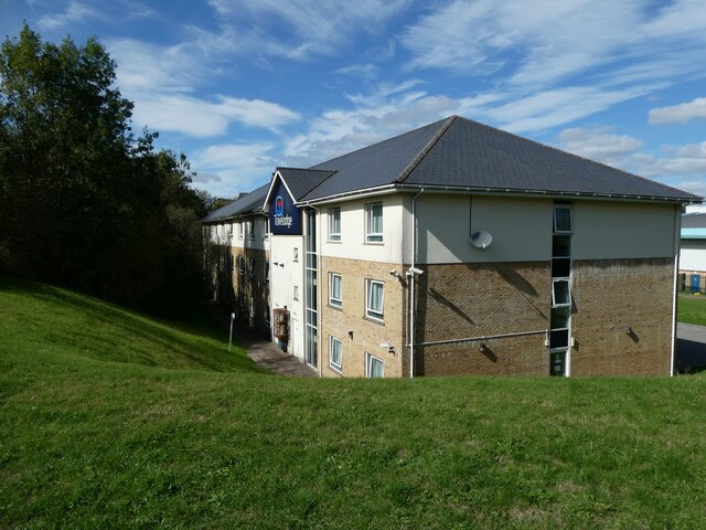
Williamstown Images
Images are sourced within 2km of 51.751301/-3.386769 or Grid Reference SO0406. Thanks to Geograph Open Source API. All images are credited.

Williamstown is located at Grid Ref: SO0406 (Lat: 51.751301, Lng: -3.386769)
Unitary Authority: Merthyr Tydfil
Police Authority: South Wales
What 3 Words
///feared.exists.guard. Near Merthyr Tydfil
Nearby Locations
Related Wikis
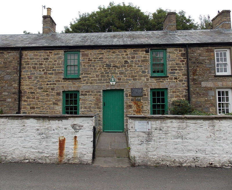
Joseph Parry's Cottage
Joseph Parry's Cottage, also known as 4 Chapel Row, is a cottage located in Merthyr Tydfil, in South Wales. Built in the early 19th century for ironworkers...

Glamorganshire Canal
The Glamorganshire Canal in South Wales, UK, was begun in 1790. It ran along the valley of the River Taff from Merthyr Tydfil to the sea at Cardiff. The...

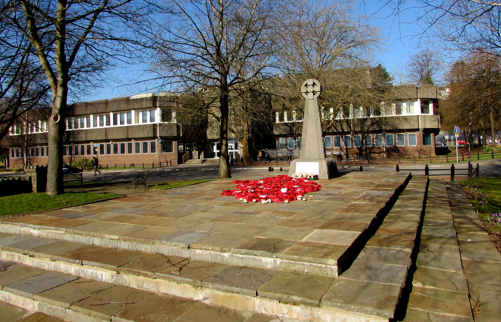
Merthyr Tydfil County Borough
Merthyr Tydfil County Borough (Welsh: Bwrdeistref Sirol Merthyr Tudful) is a county borough (since 1908) in the south-east of Wales. In mid 2018, it had...

Bethesda Chapel, Merthyr Tydfil
Bethesda, Merthyr Tydfil was one of the earliest chapels in the Welsh industrial town of Merthyr Tydfil. Services were held in the Welsh language. ��2...
Park, Merthyr Tydfil
Park (Welsh: Y Parc) is a community and electoral ward of the county borough of Merthyr Tydfil, in Wales. == Community == The community covers an area...
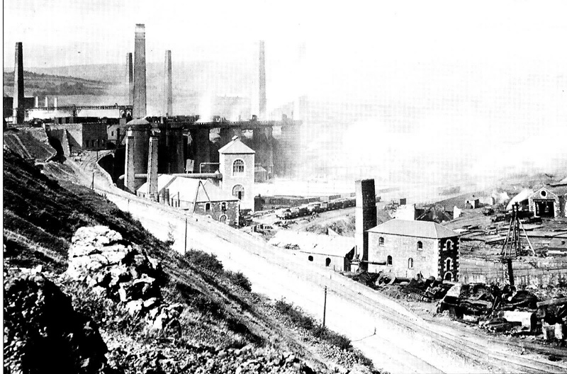
Cyfarthfa Ironworks
The Cyfarthfa Ironworks were major 18th- and 19th-century ironworks in Cyfarthfa, on the north-western edge of Merthyr Tydfil, in South West Wales. �...
Merthyr Tydfil Law Courts
Merthyr Tydfil Law Courts is a Crown Court venue which deals with criminal cases, as well as a County Court, which deals with civil cases, in Glebeland...

Penydarren Park
Penydarren Park is a sports stadium in Merthyr Tydfil, Wales, that is the present home ground of Merthyr Town Historically used for varying sports, it...
Nearby Amenities
Located within 500m of 51.751301,-3.386769Have you been to Williamstown?
Leave your review of Williamstown below (or comments, questions and feedback).