George Town
Settlement in Glamorgan
Wales
George Town

George Town, Glamorgan is a historic town located in the county of Glamorgan, Wales. Situated on the banks of the River Taff, it is a vibrant and bustling town with a rich heritage and a population of approximately 15,000 residents.
The town is known for its industrial past, particularly in the coal mining industry. During the 19th century, it became a major center for coal production, attracting workers from all over the region. The remains of the coal mines can still be seen today, adding to the town's historical charm.
George Town offers a range of amenities and facilities to its residents and visitors. The town center is home to a variety of shops, cafes, and restaurants, catering to different tastes and preferences. Additionally, there are several parks and recreational areas where people can enjoy outdoor activities and relax.
The town also boasts a strong sense of community, with various events and festivals held throughout the year. These events attract both locals and tourists, creating a lively and inclusive atmosphere. The George Town Museum is a popular attraction, showcasing the town's history and offering insight into its industrial past.
In terms of transportation, George Town is well-connected to the surrounding areas. The town has good road links, with the A470 and A473 passing through, providing easy access to nearby cities and towns. Additionally, there are regular bus services and a train station, ensuring convenient travel options for residents and visitors alike.
Overall, George Town, Glamorgan is a charming town with a rich history and a strong sense of community. Its industrial heritage, combined with its modern amenities, make it an appealing destination for both residents and tourists.
If you have any feedback on the listing, please let us know in the comments section below.
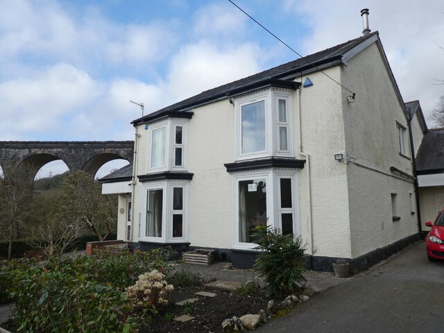
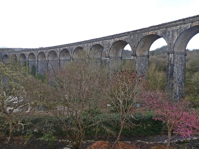
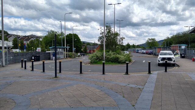
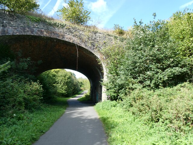
George Town Images
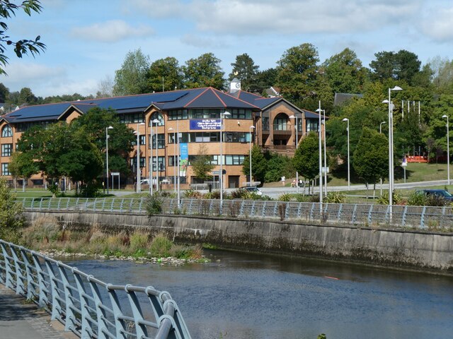
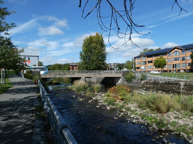
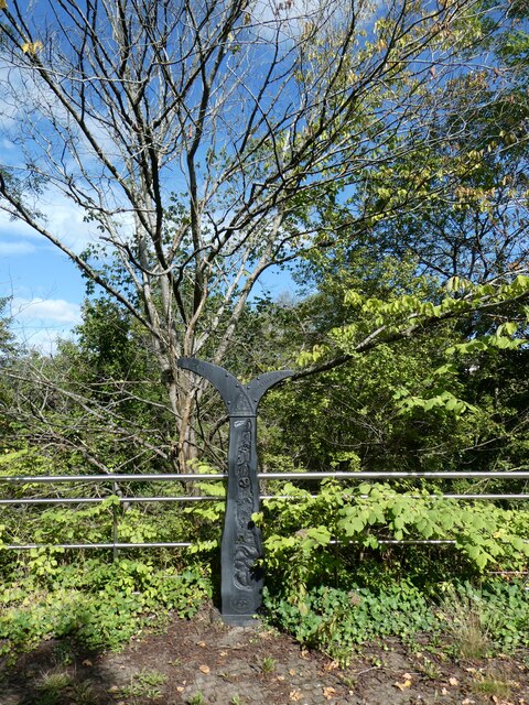
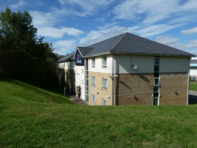
Images are sourced within 2km of 51.749404/-3.3863774 or Grid Reference SO0406. Thanks to Geograph Open Source API. All images are credited.


George Town is located at Grid Ref: SO0406 (Lat: 51.749404, Lng: -3.3863774)
Unitary Authority: Merthyr Tydfil
Police Authority: South Wales
Also known as: Georgetown
What 3 Words
///trains.claims.breed. Near Merthyr Tydfil
Nearby Locations
Related Wikis
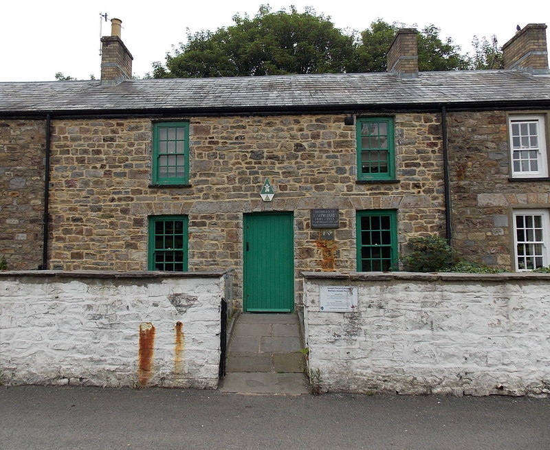
Joseph Parry's Cottage
Joseph Parry's Cottage, also known as 4 Chapel Row, is a cottage located in Merthyr Tydfil, in South Wales. Built in the early 19th century for ironworkers...

Glamorganshire Canal
The Glamorganshire Canal in South Wales, UK, was begun in 1790. It ran along the valley of the River Taff from Merthyr Tydfil to the sea at Cardiff. The...

Merthyr Tydfil County Borough
Merthyr Tydfil County Borough (Welsh: Bwrdeistref Sirol Merthyr Tudful) is a county borough (since 1908) in the south-east of Wales. In mid 2018, it had...

Bethesda Chapel, Merthyr Tydfil
Bethesda, Merthyr Tydfil was one of the earliest chapels in the Welsh industrial town of Merthyr Tydfil. Services were held in the Welsh language. ��2...
Nearby Amenities
Located within 500m of 51.749404,-3.3863774Have you been to George Town?
Leave your review of George Town below (or comments, questions and feedback).