Wigan
Settlement in Lancashire
England
Wigan

Wigan is a town located in the county of Greater Manchester, in the historical county of Lancashire, England. Situated on the River Douglas, it is approximately 16 miles northwest of Manchester city center. With a population of around 103,000 people, Wigan is the largest settlement in the Metropolitan Borough of Wigan.
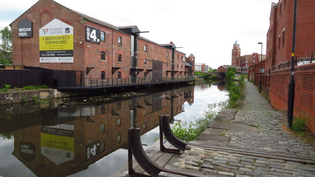
The town has a rich industrial heritage, particularly in coal mining and cotton spinning during the 18th and 19th centuries. Wigan Pier, once a major inland port on the Leeds and Liverpool Canal, is a famous landmark associated with the town's industrial past. Today, the pier is a popular tourist attraction, featuring a museum, art gallery, and shops.
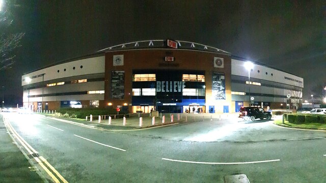
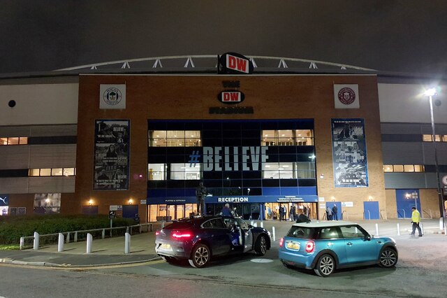
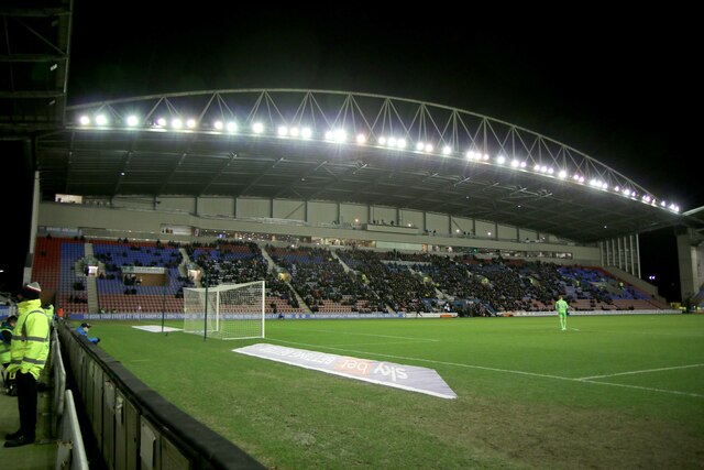
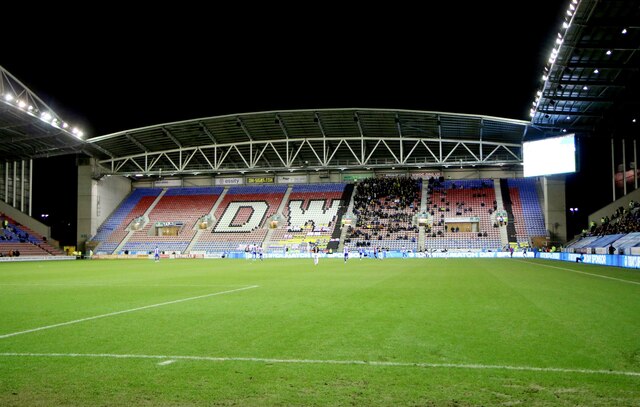
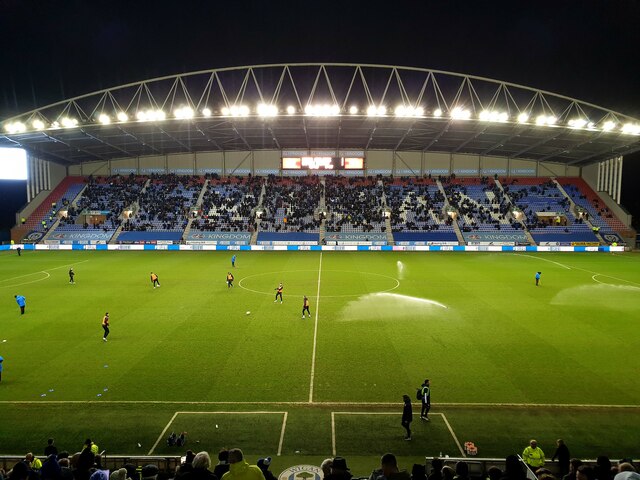
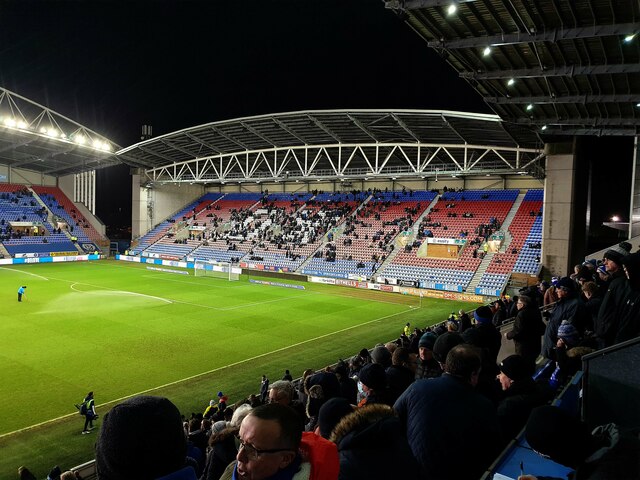
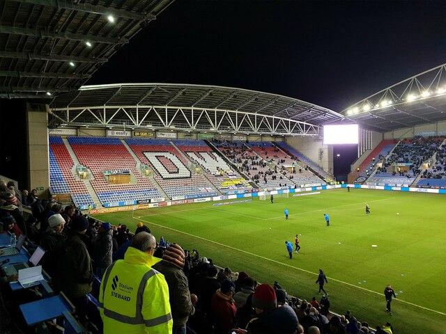
Wigan is also known for its passionate love of rugby, with the Wigan Warriors being one of the most successful rugby league clubs in the country. The town's DW Stadium is home to both the Wigan Warriors and Wigan Athletic Football Club.
In addition to its industrial and sporting history, Wigan offers a range of cultural attractions. The Wigan Little Theatre, established in 1947, showcases a variety of plays and performances throughout the year. The town also hosts an annual Wigan International Jazz Festival, attracting musicians and jazz enthusiasts from around the world.
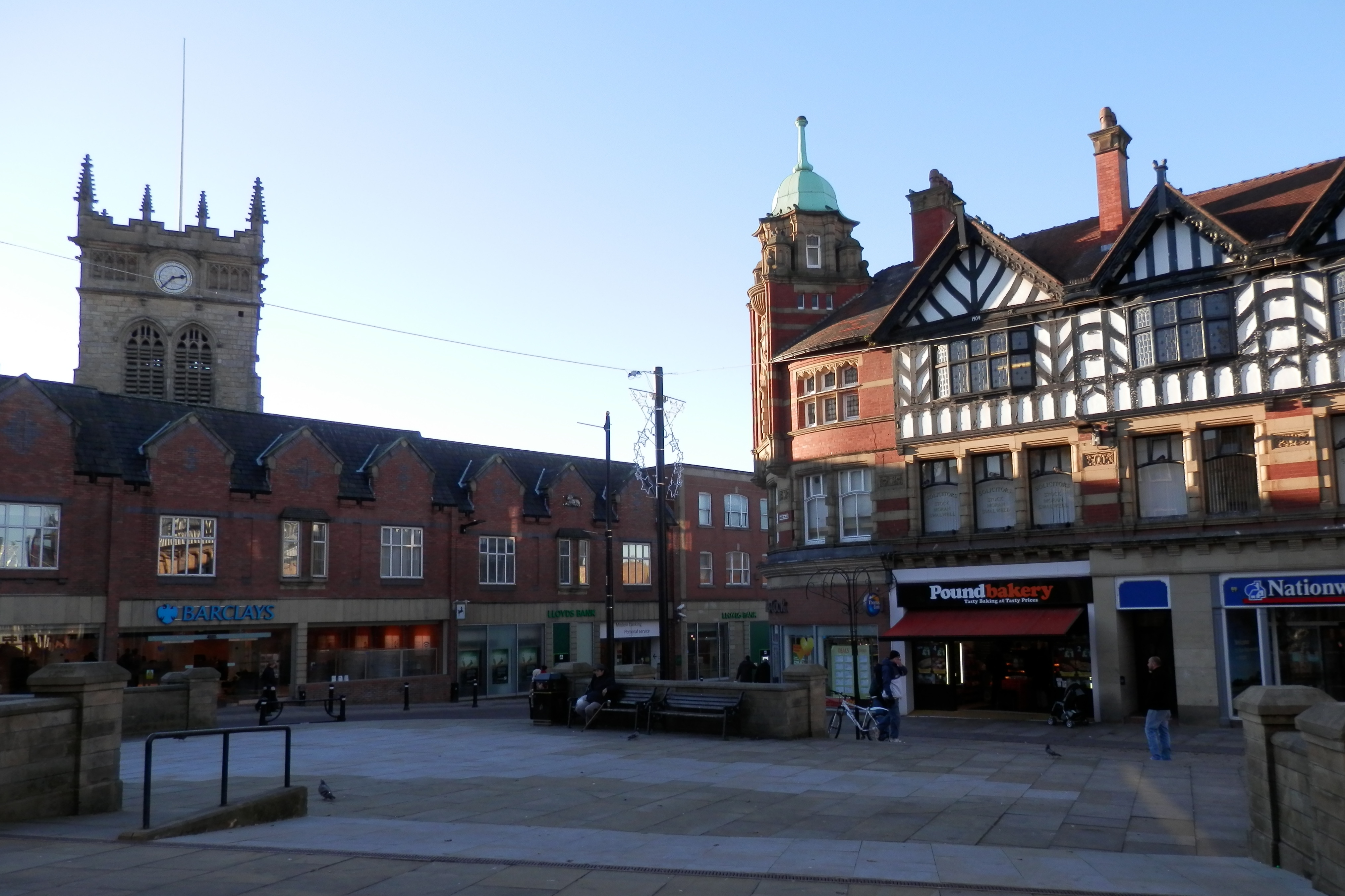
Wigan boasts a vibrant town center with a mix of modern shopping facilities and traditional market stalls. The town's streets are lined with a diverse range of restaurants, cafes, and pubs, providing a lively social scene for residents and visitors alike.
Overall, Wigan is a town that combines its proud industrial heritage with a thriving cultural scene, making it a unique and dynamic place to live or visit.
If you have any feedback on the listing, please let us know in the comments section below.
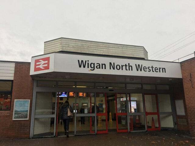
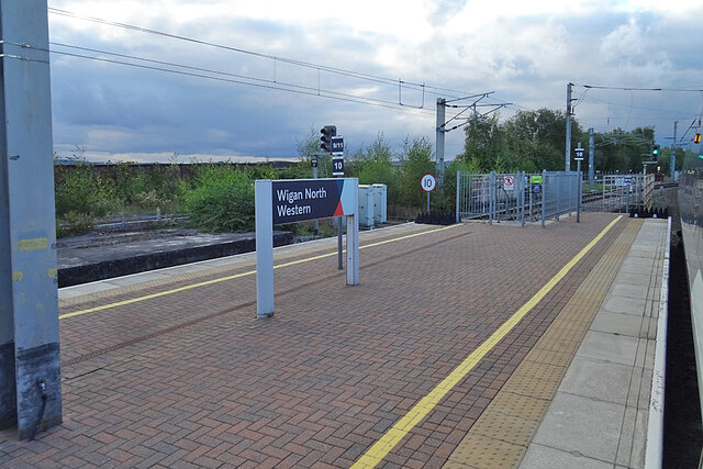
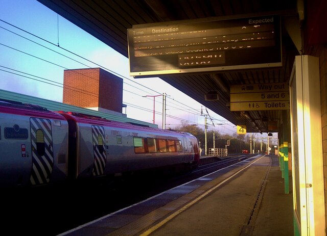
Wigan Images
Images are sourced within 2km of 53.545539/-2.6296949 or Grid Reference SD5805. Thanks to Geograph Open Source API. All images are credited.


Wigan is located at Grid Ref: SD5805 (Lat: 53.545539, Lng: -2.6296949)
Unitary Authority: Wigan
Police Authority: Greater Manchester
What 3 Words
///wished.factories.coach. Near Wigan, Manchester
Nearby Locations
Related Wikis
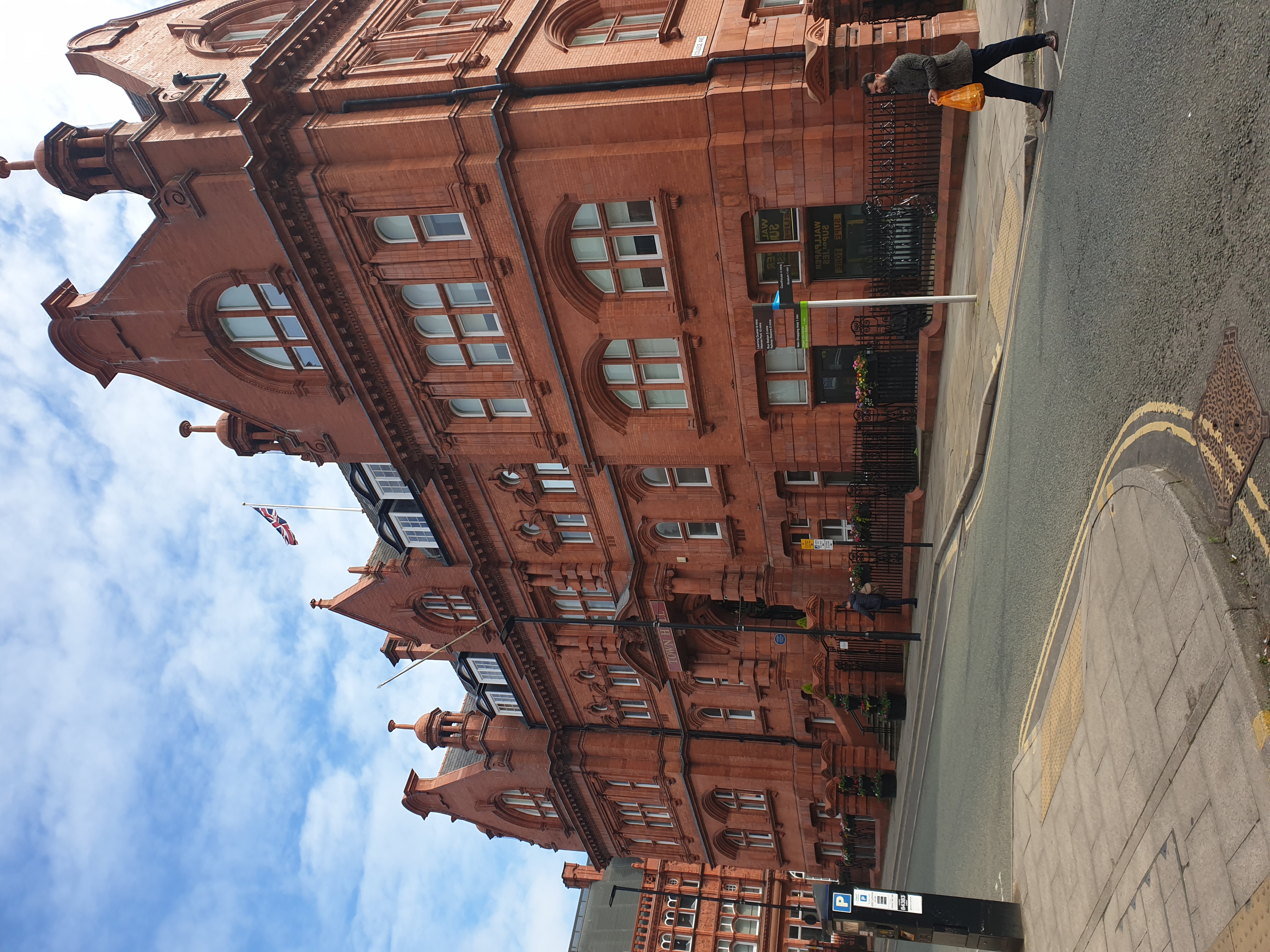
Wigan Town Hall
The new Town Hall is a former technical college in Library Street, Wigan, England which was converted into a municipal facility in 1990. It is a Grade...

Wigan Casino
The Casino Club was a nightclub in Wigan, England. Operating between the late 1960's to closure in 1981, it became known as a primary venue for Northern...

Wigan Central railway station
Wigan Central railway station was a railway station near the centre of Wigan, Lancashire, England. == Location and construction == Wigan Central station...
Wigan
Wigan ( WIG-ən) is a town in Greater Manchester, England, on the River Douglas. The town is midway between the two cities of Manchester, 16 miles (25.7...
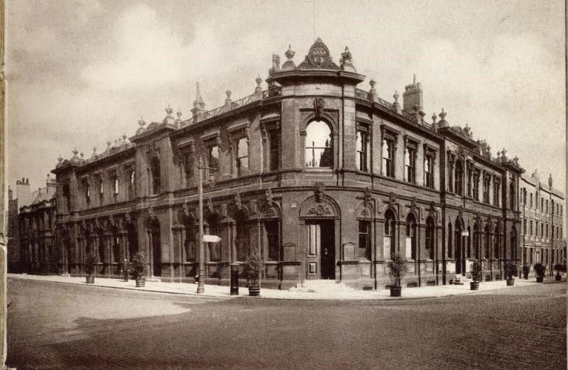
Old Town Hall, Wigan
The Old Town Hall was a former municipal facility at the corner of King Street and Rodney Street in Wigan, England. The building, which was demolished...
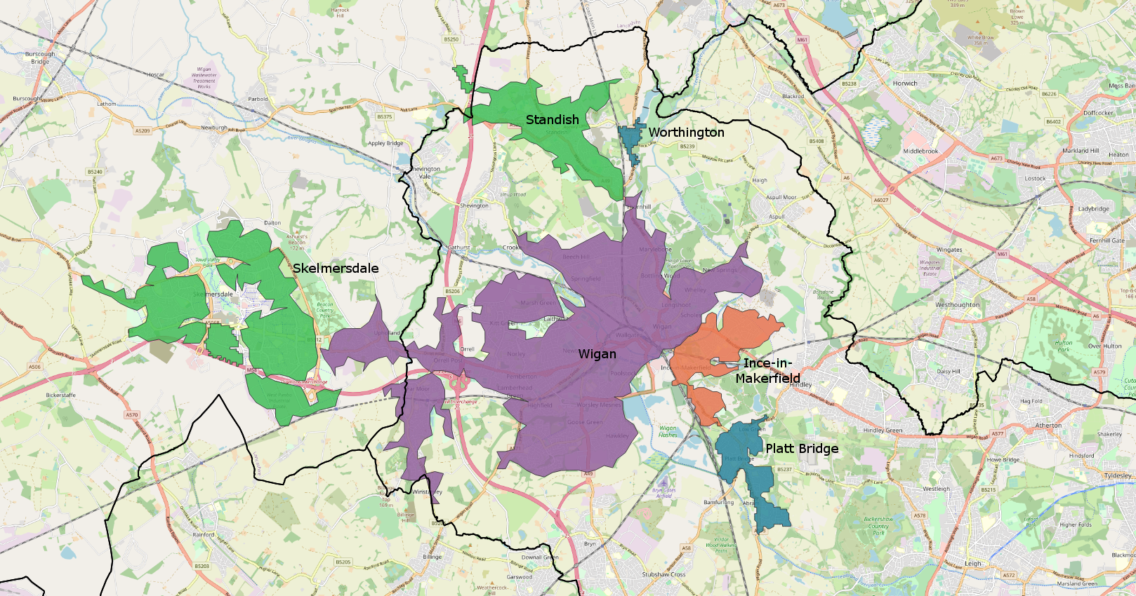
Wigan urban area
The Wigan Urban Area is an area of land defined by the Office for National Statistics consisting of the built-up, or 'urbanised' area containing Wigan...
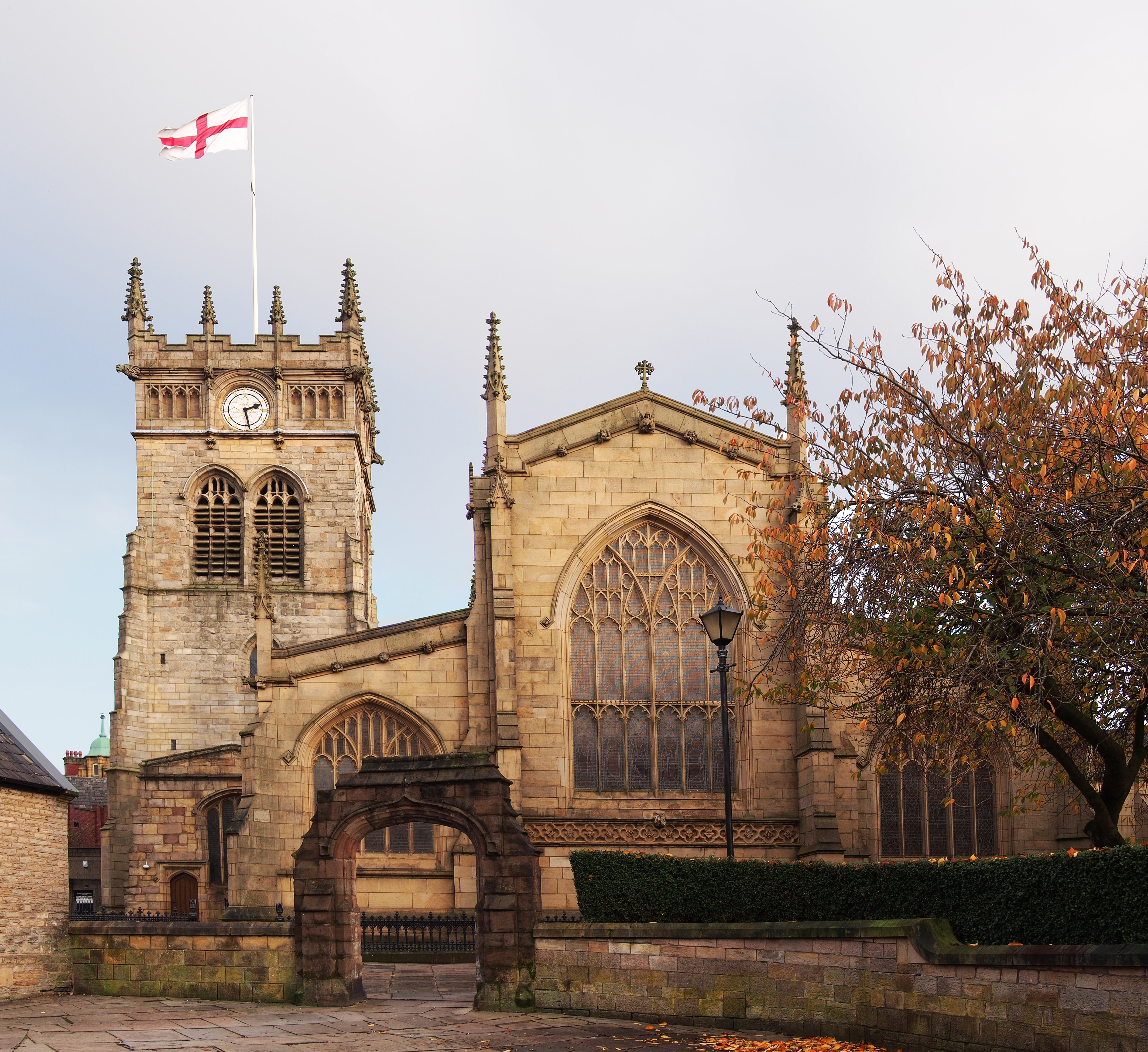
All Saints' Church, Wigan
All Saints' Church in Wallgate, Wigan, Greater Manchester, England, is an Anglican parish church. It is in the deanery of Wigan, the archdeaconry of Warrington...

Wigan Darlington Street railway station
Wigan Central railway station was a railway station near the centre of Wigan, Greater Manchester, England. == Location and history == Wigan Darlington...
Nearby Amenities
Located within 500m of 53.545539,-2.6296949Have you been to Wigan?
Leave your review of Wigan below (or comments, questions and feedback).