Widcombe

Settlement in Somerset

England

Widcombe

Pulteney Bridge, Bath
Pulteney Bridge, Bath Credit: Sofia

Widcombe is a small village situated in the county of Somerset, England. It is located approximately 1.5 miles southeast of the city of Bath, making it an attractive residential area for those seeking a quieter lifestyle while still having easy access to urban amenities.

The village is nestled in the picturesque countryside, with rolling hills and lush green fields surrounding it. It is known for its charming stone cottages and traditional architecture, which add to its quaint and idyllic atmosphere.

Widcombe has a rich history dating back centuries, and evidence of its past can be seen in the village's historic buildings and landmarks. One notable landmark is the Grade II listed Widcombe Manor House, a stunning example of Georgian architecture. The village also has a beautiful 12th-century church, St. Thomas à Becket, which is worth a visit for its impressive interior and peaceful atmosphere.

Despite its small size, Widcombe has a strong sense of community and offers a range of amenities to its residents. These include a local pub, The White Hart, which serves traditional British fare and is a popular gathering spot for locals and visitors alike. The village also has a post office, a convenience store, and a primary school, making it a convenient place to live for families.

Overall, Widcombe is a charming village that offers a peaceful and rural lifestyle, while still being within easy reach of the bustling city of Bath. Its beautiful surroundings, historic buildings, and strong community spirit make it an appealing place to call home.

If you have any feedback on the listing, please let us know in the comments section below.
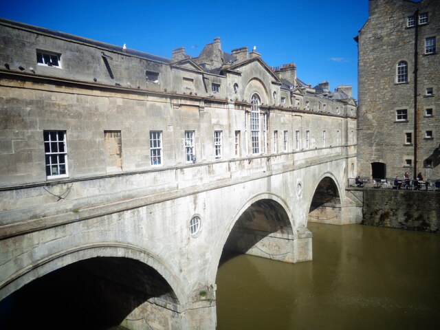
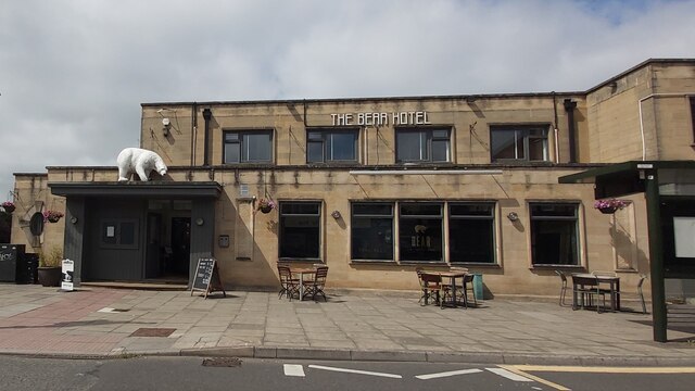
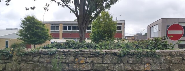
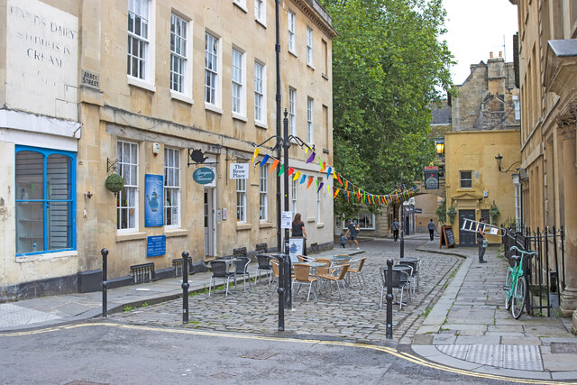
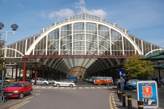
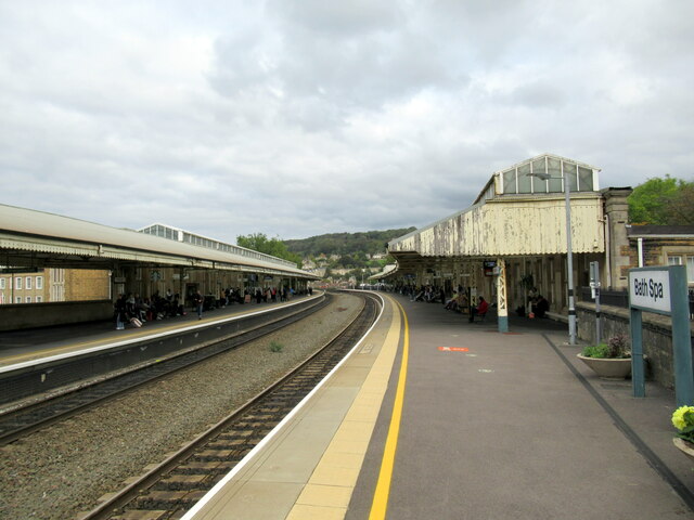
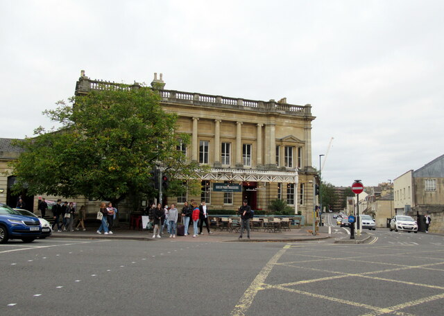
Widcombe Images

Images are sourced within 2km of 51.373226/-2.34836 or Grid Reference ST7563. Thanks to Geograph Open Source API. All images are credited.

Pulteney Bridge, Bath
Grass Amphitheatre at The University of Bath
The Bear Hotel - Bear Flat
Greendown Terrace
Greendown Terrace
The Hadley Arms
The Hadley Arms
Ralph Allen School
Ralph Allen School
Norwood Avenue Entrance to University of Bath
Standing in York Street, Looking Down Abbey Street
The Circus, Bath Photograph of The Circus in Bath, looking east from Brock Street towards Bennett Street.
The Circus, Bath
Photograph of The Circus in Bath, looking east from Brock Street towards Bennett Street.
Bath Abbey from Orange Grove NCN4 Bath Abbey with evening sun behind it.
Hoarding is up alongside the Abbey due to renovation work being carried out.
Photograph taken from the cycle way through Orange Grove, part of NCN4.
Bath Abbey from Orange Grove NCN4
Bath Abbey with evening sun behind it. Hoarding is up alongside the Abbey due to renovation work being carried out. Photograph taken from the cycle way through Orange Grove, part of NCN4.
The River Avon at Pulteney Bridge
Charles Street, Bath The former Green Park Station visible on the left.
Charles Street, Bath
The former Green Park Station visible on the left.
Bath Green Park Station The old Midland/Somerset & Dorset Railway terminus station is a car park these days.
Bath Green Park Station
The old Midland/Somerset & Dorset Railway terminus station is a car park these days.
Bath Spa station
Bath Spa station
The old Green Park Station building
The King's & Queen's Baths, Bath Spa
Bath Abbey
Bath Abbey
Pulteney Bridge & Weir, Bath Spa
Show me another place!

Widcombe is located at Grid Ref: ST7563 (Lat: 51.373226, Lng: -2.34836)

Unitary Authority: Bath and North East Somerset

Police Authority: Avon and Somerset

What 3 Words

///minds.slip.shakes. Near Bath, Somerset

Related Wikis

Widcombe Manor House

Widcombe Manor is a grade I listed Georgian house in Widcombe, Bath, England, built in 1656 and then rebuilt in 1727 for Philip Bennet the local MP. The...

St Thomas à Becket Church, Widcombe

St Thomas à Becket Church is a parish church of Widcombe in Bath, Somerset southwest England, and is one of a number of churches named after Thomas Becket...

Crowe Hall

Crowe Hall is a Georgian house in Widcombe, Bath, Somerset, England. It is a Grade II listed building, and the gardens are on the Register of Historic...

Widcombe Crescent, Bath

Widcombe Crescent in Bath, Somerset, England is a terrace of 14 Georgian houses built in 1808 by Thomas Baldwin, and designated a Grade I listed building...

Nearby Amenities

Located within 500m of 51.373226,-2.34836
Turning Circle
Lat/Long: 51.3758151/-2.3467317
Barrier: kissing_gate
Lat/Long: 51.3758908/-2.3455893
Turning Circle
Lat/Long: 51.3769466/-2.3505414
Widcombe
Place: suburb
Website: http://www.widcombeassociation.org.uk/
Lat/Long: 51.3764627/-2.353159
Post Box
Postal Code: BA2
Ref: BA2 15
Lat/Long: 51.3750509/-2.3545156
Barrier: kissing_gate
Lat/Long: 51.3724974/-2.3548999
Post Box
Lat/Long: 51.3704846/-2.3493129
Barrier: kissing_gate
Lat/Long: 51.3760622/-2.3432744
Tunnel: culvert
Lat/Long: 51.3749008/-2.3521503
Man Made: manhole
Manhole: drain
Tunnel: culvert
Lat/Long: 51.3757152/-2.3529228
Seamark Type: gate
Waterway: lock_gate
Lat/Long: 51.3772889/-2.3512072
Seamark Type: gate
Waterway: lock_gate
Lat/Long: 51.3770944/-2.3514613
Seamark Type: gate
Waterway: lock_gate
Lat/Long: 51.3769111/-2.3521924
Man Made: manhole
Manhole: drain
Tunnel: culvert
Lat/Long: 51.3721836/-2.3501851
Barrier: kissing_gate
Lat/Long: 51.3738875/-2.3415821
Bus Stop
The Tyning
Bench: no
Bin: no
Bus: yes
Naptan AtcoCode: 0180BAC30061
Naptan Bearing: E
Naptan CommonName: The Tyning
Naptan Crossing: The Tyning
Naptan NaptanCode: bthjwdt
Naptan PlusbusZoneRef: BATHSPA
Naptan Street: Widcombe Hill
Naptan Verified: no
Public Transport: platform
Shelter: no
Source: naptan_import
Tactile Paving: no
Toilets Wheelchair: no
Wheelchair: yes
Lat/Long: 51.3752156/-2.3491847
Bus Stop
The Tyning
Bus: yes
Naptan AtcoCode: 0180BAC30062
Naptan Bearing: NW
Naptan CommonName: The Tyning
Naptan Crossing: The Tyning
Naptan NaptanCode: bthjwdp
Naptan PlusbusZoneRef: BATHSPA
Naptan Street: Widcombe Hill
Naptan Verified: no
Public Transport: platform
Source: naptan_import
Toilets Wheelchair: no
Wheelchair: yes
Lat/Long: 51.3752946/-2.3498319
Bus Stop
Widcombe Hall
Bus: yes
Naptan AtcoCode: 0180BAC30063
Naptan Bearing: E
Naptan CommonName: Widcombe Hall
Naptan Crossing: Church Street
Naptan NaptanCode: bthmada
Naptan PlusbusZoneRef: BATHSPA
Naptan Street: Widcombe Hill
Naptan Verified: no
Public Transport: platform
Shelter: no
Source: naptan_import
Lat/Long: 51.3745897/-2.3449848
Bus Stop
Widcombe Hall
Bus: yes
Naptan AtcoCode: 0180BAC30064
Naptan Bearing: W
Naptan BusStopType: CUS
Naptan CommonName: Widcombe Hall
Naptan Crossing: Church Street
Naptan NaptanCode: bthjwtw
Naptan PlusbusZoneRef: BATHSPA
Naptan Street: Widcombe Hill
Naptan Verified: no
Public Transport: platform
Shelter: no
Source: naptan_import
Lat/Long: 51.3744997/-2.3449984
Bus Stop
Prior Park Cottage
Bus: yes
Naptan AtcoCode: 0180BAC30101
Naptan Bearing: S
Naptan CommonName: Prior Park Cottage
Naptan NaptanCode: bthjtmg
Naptan PlusbusZoneRef: BATHSPA
Naptan Street: Prior Park Road
Naptan Verified: no
Public Transport: platform
Shelter: no
Source: naptan_import
Toilets Wheelchair: no
Wheelchair: yes
Lat/Long: 51.3758343/-2.3527957
Bus Stop
Bewdley Road
Bus: yes
Naptan AtcoCode: 0180BAC30102
Naptan Bearing: NW
Naptan CommonName: Bewdley Road
Naptan Crossing: Bewdley Road
Naptan NaptanCode: bthjtwp
Naptan PlusbusZoneRef: BATHSPA
Naptan Street: Prior Park Road
Naptan Verified: no
Public Transport: platform
Source: naptan_import
Toilets Wheelchair: no
Wheelchair: yes
Lat/Long: 51.3736731/-2.3508396
Bus Stop
Bewdley Road
Bus: yes
Naptan AtcoCode: 0180BAC30103
Naptan Bearing: SE
Naptan BusStopType: CUS
Naptan CommonName: Bewdley Road
Naptan Crossing: Bewdley Road
Naptan NaptanCode: bthjwag
Naptan PlusbusZoneRef: BATHSPA
Naptan Street: Prior Park Road
Naptan Verified: no
Public Transport: platform
Source: naptan_import
Lat/Long: 51.3737111/-2.3506372
Bus Stop
Abbey Cemetery
Bus: yes
Naptan AtcoCode: 0180BAC30104
Naptan Bearing: S
Naptan CommonName: Abbey Cemetery
Naptan Crossing: Ralph Allen Drive
Naptan NaptanCode: bthjwga
Naptan PlusbusZoneRef: BATHSPA
Naptan Street: Perrymead
Naptan Verified: no
Public Transport: platform
Source: naptan_import
Toilets Wheelchair: no
Wheelchair: yes
Lat/Long: 51.3723095/-2.3490122
Bus Stop
Abbey Cemetery
Bus: yes
Naptan AtcoCode: 0180BAC30105
Naptan Bearing: W
Naptan CommonName: Abbey Cemetery
Naptan Crossing: Perrymead
Naptan NaptanCode: bthjwgj
Naptan PlusbusZoneRef: BATHSPA
Naptan Street: Church Street
Naptan Verified: no
Public Transport: platform
Shelter: no
Source: naptan_import
Toilets Wheelchair: no
Wheelchair: yes
Lat/Long: 51.3722408/-2.348688
Bus Stop
Middlehill Lodge
Bus: yes
Naptan AtcoCode: 0180BAC30106
Naptan Bearing: NW
Naptan CommonName: Middlehill Lodge
Naptan NaptanCode: bthjwpg
Naptan PlusbusZoneRef: BATHSPA
Naptan Street: Church Lane
Naptan Verified: no
Public Transport: platform
Source: naptan_import
Lat/Long: 51.3698029/-2.3460118
Bus Stop
Middlehill Lodge
Bus: yes
Naptan AtcoCode: 0180BAC30107
Naptan Bearing: NW
Naptan BusStopType: CUS
Naptan CommonName: Middlehill Lodge
Naptan NaptanCode: bthjwpa
Naptan PlusbusZoneRef: BATHSPA
Naptan Street: Church Lane
Naptan Verified: no
Public Transport: platform
Source: naptan_import
Lat/Long: 51.3698385/-2.3461414
Bus Stop
Widcombe Hill
Bus: yes
Naptan AtcoCode: 0180BAZ02392
Naptan Bearing: E
Naptan CommonName: Widcombe Hill
Naptan Crossing: Prior Park Road
Naptan NaptanCode: bthjtmj
Naptan PlusbusZoneRef: BATHSPA
Naptan Street: Widcombe Hill
Naptan Verified: no
Public Transport: platform
Shelter: no
Source: naptan_import
Wheelchair: yes
Lat/Long: 51.3764186/-2.3528289
Barrier: kissing_gate
Lat/Long: 51.3764179/-2.3444092
Barrier: kissing_gate
Lat/Long: 51.3764769/-2.3443555
Barrier: kissing_gate
Lat/Long: 51.3702357/-2.3490049
Barrier: stile
Lat/Long: 51.3761484/-2.3453595
Barrier: kissing_gate
Lat/Long: 51.3739506/-2.3416129
Mini Roundabout
Lat/Long: 51.3765294/-2.3532078
Tourism: viewpoint
Lat/Long: 51.3702402/-2.3450684
Bench
Backrest: yes
Lat/Long: 51.3771266/-2.3512842
Man Made: survey_point
Note: OS Benchmark in corner stone of wall, near the ground and just to the right of hte postbox.
Survey Point: benchmark
Lat/Long: 51.3752883/-2.349511
Cafe
The Secret Garden Cafe
Addr Housename: Prior Park Garden Centre
Addr Postcode: BA2 4NF
Addr Street: Prior Park Road
Fhrs Id: 1680926
Toilets: yes
Toilets Wheelchair: yes
Website: http://www.cafesecretgarden.co.uk/
Wheelchair: yes
Lat/Long: 51.3744061/-2.3520811
Smallcombe Vale
Place: locality
Lat/Long: 51.376027/-2.3443266
Old Manor Farm Grotto
Historic: monument
Lat/Long: 51.3731455/-2.3457814
Atm
Brand: Cashzone
Brand Wikidata: Q110738461
Check Date: 2023-02-24
Network: Allpoint
Network Wikidata: Q4733264
Operator: Cashzone
Lat/Long: 51.3765777/-2.3530365
Clock
Lat/Long: 51.3763158/-2.3521612
Post Box
Collection Times: Mo-Fr 09:00; Sa 07:00
Post Box Mounting: wall
Post Box Type: wall
Ref: BA2 149
Royal Cypher: EIIR
Royal Cypher Wikidata: Q33102113
Lat/Long: 51.3752994/-2.3495384
Milestone
Inscription: 1 Mile // from the // Guildhall // BATH
Note: Metal plate attached to stone wall on north side of road.
Lat/Long: 51.3747763/-2.3462823
Lyncombe
Place: suburb
Wikidata: Q6708521
Wikipedia: en:Lyncombe, Bath
Lat/Long: 51.372884/-2.3546706
Tunnel: culvert
Lat/Long: 51.3735231/-2.350745
Tunnel: culvert
Lat/Long: 51.3747204/-2.3519531
Tunnel: culvert
Lat/Long: 51.3744063/-2.3516263
Tunnel: culvert
Lat/Long: 51.3737166/-2.3509381
Historic: ice_house
Lat/Long: 51.3695003/-2.3455036
Waste Basket
Waste: trash
Lat/Long: 51.3738582/-2.3415584
Barrier: bollard
Lat/Long: 51.3732246/-2.3466695
Barrier: bollard
Lat/Long: 51.3736425/-2.3468893
Bench
Lat/Long: 51.3758052/-2.350981
Bench
Backrest: yes
Lat/Long: 51.3759551/-2.343301
Bench
Backrest: yes
Lat/Long: 51.3754261/-2.3429845
Booth: K6
Covered: booth
Description: old red phone box now used to display plants
Man Made: telephone_box
Lat/Long: 51.3764313/-2.3532406
Street Lamp
Lat/Long: 51.3764215/-2.353284
The data included in this document is from www.openstreetmap.org. The data is made available under ODbL.

Have you been to Widcombe?

Leave your review of Widcombe below (or comments, questions and feedback).