Wickhambrook

Settlement in Suffolk West Suffolk

England

Wickhambrook

Cropmarks on fields north of Meeting Green: aerial 2022 (1)
Cropmarks on fields north of Meeting Green: aerial 2022 (1) Credit: Chris

Wickhambrook is a charming village located in the county of Suffolk, England. Situated approximately 12 miles east of Bury St Edmunds, it is nestled in the idyllic countryside of the East Anglian region. With a population of around 1,500 residents, it retains a close-knit community feel.

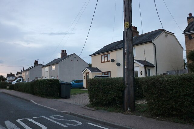
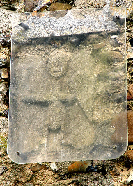
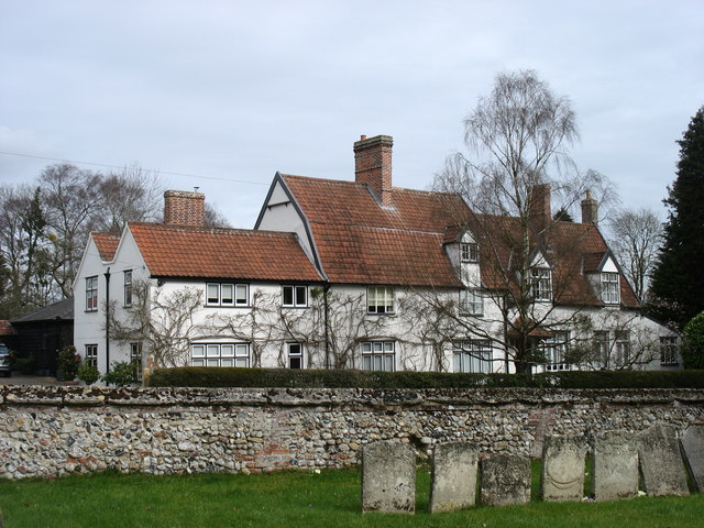
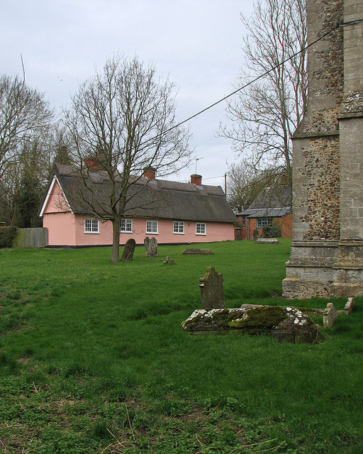
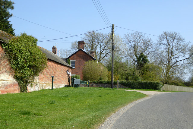
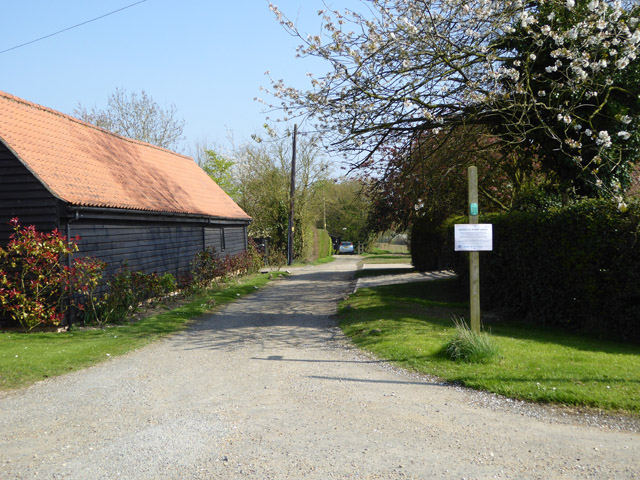
The village boasts a rich history that can be traced back to the medieval era. Its name is derived from the Old English words "wic" meaning dairy farm and "broc" meaning brook, which aptly describes its picturesque surroundings. Wickhambrook is known for its traditional thatched cottages and historic buildings, some of which date back several centuries.

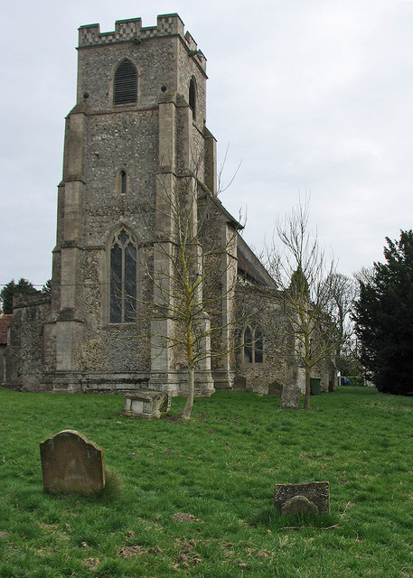
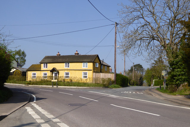
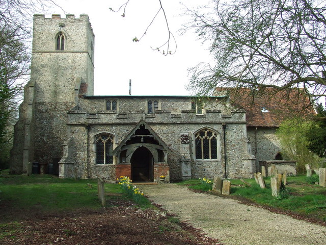
The village offers a range of amenities to cater to the needs of its residents. These include a primary school, a village hall, a post office, and a local convenience store. Wickhambrook also has a historic church, St. Peter and St. Paul, which serves as a place of worship and a reminder of the village's heritage.

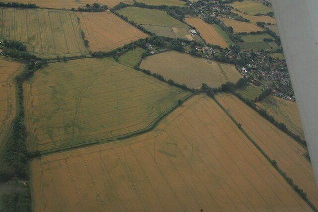
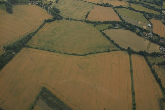
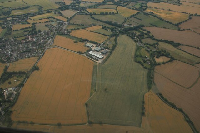
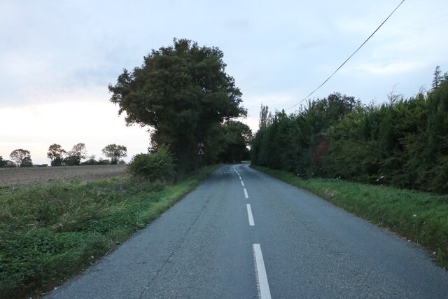
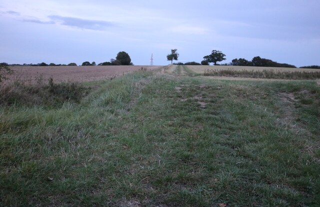
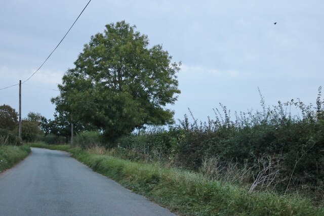
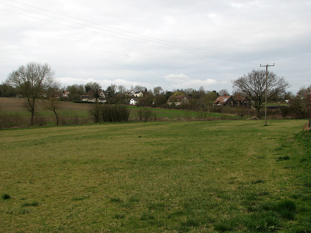
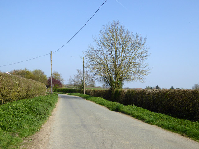
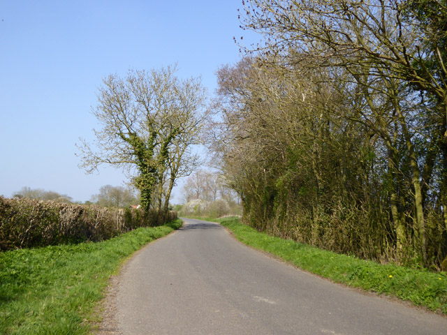
For those who enjoy the outdoors, Wickhambrook offers plenty of opportunities for exploration. The surrounding countryside is dotted with scenic walking trails and bridleways, offering stunning views of the rolling hills and meadows. The village is also in close proximity to Thetford Forest, a popular destination for nature lovers and outdoor enthusiasts.

Overall, Wickhambrook is a picturesque village that offers a peaceful and rural lifestyle, combined with a strong sense of community and a rich historical backdrop.

If you have any feedback on the listing, please let us know in the comments section below.

Wickhambrook Images

Images are sourced within 2km of 52.168036/0.54914452 or Grid Reference TL7455. Thanks to Geograph Open Source API. All images are credited.

Cropmarks on fields north of Meeting Green: aerial 2022 (1)
Cropmarks on fields north of Meeting Green: aerial 2022 (2)
Cropmarks on fields west of Meeting Green: aerial 2022 (1)
Houses on Bunters Road, Wickhambrook
The B1063, Wickhambook
Field by the B1063, Boyden End The aerial is over a mile away in Genesis Green
Field by the B1063, Boyden End
The aerial is over a mile away in Genesis Green
The road from Attleton Green to Wickhambrook Here is Robin Webster's similar view.
The road from Attleton Green to Wickhambrook
Here is Robin Webster's similar view.
Wickhambrook: All Saints "Mostly Dec ... Tall two-light reticulated window in the W tower" (Nikolaus Pevsner).
Wickhambrook: All Saints
"Mostly Dec ... Tall two-light reticulated window in the W tower" (Nikolaus Pevsner).
Wickhambrook: All Saints - Saxon carving "A small Saxon figure of a man with a shield, outside in the S wall" (Nikolaus Pevsner).
Wickhambrook: All Saints - Saxon carving
"A small Saxon figure of a man with a shield, outside in the S wall" (Nikolaus Pevsner).
"The White House", Wickhambrook Taken from the churchyard of All Saints church.
"The White House", Wickhambrook
Taken from the churchyard of All Saints church.
Wickhambrook churchyard and almshouses The Suffolk-pink building is the Grade II listed almshouses. The listing text reads "A range of C17 timber-framed and plastered almshouses built by Anthony Sparrow in 1615. A tablet states that they were restored in 1897 and the doors and windows are of that period. Casement windows with glazing bars. Roof thatched".
Wickhambrook churchyard and almshouses
The Suffolk-pink building is the Grade II listed almshouses. The listing text reads "A range of C17 timber-framed and plastered almshouses built by Anthony Sparrow in 1615. A tablet states that they were restored in 1897 and the doors and windows are of that period. Casement windows with glazing bars. Roof thatched".
Wickhambrook Glebe Field A view from the churchyard. Wickhambrook is a straggling village and the church is at its southern edge.
Wickhambrook Glebe Field
A view from the churchyard. Wickhambrook is a straggling village and the church is at its southern edge.
Shardelows Farm Hemmed in behind the rolling security gate is an old hand pump.
Shardelows Farm
Hemmed in behind the rolling security gate is an old hand pump.
Hedgerow tree by grassy field corner There was once, in Victorian times, some sort of building here.
Hedgerow tree by grassy field corner
There was once, in Victorian times, some sort of building here.
Road east from Attleton Green
House at the crossroads A sunny house on a sunny day.
House at the crossroads
A sunny house on a sunny day.
Lane north from Wickhambrook
Public byway east from Park Gate The notice on the post is addressed to byway users but I could not read the small print from a distance.
Public byway east from Park Gate
The notice on the post is addressed to byway users but I could not read the small print from a distance.
Show me another place!

Wickhambrook is located at Grid Ref: TL7455 (Lat: 52.168036, Lng: 0.54914452)

Administrative County: Suffolk

District: West Suffolk

Police Authority: Suffolk

What 3 Words

///dote.showed.animate. Near Kedington, Suffolk

Related Wikis

Wickhambrook

Wickhambrook is a village and civil parish in the West Suffolk district of Suffolk in eastern England. It is about ten miles (16 km) south-west from Bury...

Coltsfoot Green

Coltsfoot Green is a small hamlet within the village of Wickhambrook, Suffolk, England. It constitutes one of its eleven village greens and consists of...

Attleton Green

Attleton Green is a hamlet in Suffolk, England. == External links == Media related to Attleton Green at Wikimedia Commons

Lidgate

Lidgate is a small village and a civil parish in the West Suffolk district, in the English county of Suffolk. Lidgate is located on the B1063 road in between...

Stradishall

Stradishall is a village and civil parish in West Suffolk in the English county of Suffolk. The civil parish includes a number of hamlets including Farley...

Gifford's Hall, Wickhambrook

Gifford's Hall is a manor house in the civil parish of Wickhambrook, in the West Suffolk district, in the county of Suffolk, England. It is Grade I listed...

Cowlinge

Cowlinge (/ˈkuː.lɪnʤ/), pronounced "Coolinje", is a village and civil parish in the West Suffolk district of Suffolk in eastern England close to the Cambridgeshire...

Clare Rural District

Clare Rural District was a rural district in the county of West Suffolk, England. It was created in 1894, comprising those parishes in the Risbridge rural...

Nearby Amenities

Located within 500m of 52.168036,0.54914452
Wickhambrook
Is In: Suffolk, England, UK
Name Ru: Уикембрук
Place: village
Wikidata: Q2620509
Lat/Long: 52.1701054/0.5500594
Bus Stop
Thorns Corner
Naptan AtcoCode: 390050128
Naptan Bearing: N
Naptan CommonName: Thorns Corner
Naptan Indicator: adj
Naptan Landmark: Thorns Corner
Naptan NaptanCode: sufgdjtp
Naptan Street: B1063
Naptan Verified: no
Source: naptan_import
Lat/Long: 52.1679074/0.5491199
Bus Stop
Thorns Corner
Naptan AtcoCode: 390050129
Naptan Bearing: S
Naptan BusStopType: CUS
Naptan CommonName: Thorns Corner
Naptan Indicator: opp
Naptan Landmark: Thorns Corner
Naptan NaptanCode: sufgdjtw
Naptan Street: B1063
Naptan Verified: no
Source: naptan_import
Lat/Long: 52.1679036/0.5492952
Bus Stop
Thorns Close
Naptan AtcoCode: 390051082
Naptan Bearing: SW
Naptan BusStopType: CUS
Naptan CommonName: Thorns Close
Naptan Indicator: adj
Naptan Landmark: Thorns Close
Naptan NaptanCode: sufjgtwa
Naptan Street: Cemetery Road
Naptan Verified: no
Source: naptan_import
Lat/Long: 52.168382/0.5496297
Bus Stop
Thorns Close
Naptan AtcoCode: 390051083
Naptan Bearing: NE
Naptan BusStopType: CUS
Naptan CommonName: Thorns Close
Naptan Indicator: opp
Naptan Landmark: Thorns Close
Naptan NaptanCode: sufjgtwd
Naptan Street: Cemetery Road
Naptan Verified: no
Source: naptan_import
Lat/Long: 52.1684557/0.5495462
Fuel
Lat/Long: 52.1676473/0.5487609
Post Office
Wickhambrook Post Office
Brand: Post Office
Brand Wikidata: Q1783168
Check Date: 2023-09-27
Ref Pol Id: 6984
Lat/Long: 52.1677869/0.5487031
Mole Hill
Place: locality
Lat/Long: 52.1655619/0.5484908
Post Box
Collection Times: Mo-Fr 17:00; Sa 10:00
Operator: Royal Mail
Post Box Design: type_a
Post Box Type: pillar
Ref: CB8 49
Royal Cypher: EIIR
Royal Cypher Wikidata: Q33102113
Source: survey
Lat/Long: 52.1677534/0.5490009
Post Box
Collection Times: Mo-Fr 09:00; Sa 07:00
Operator: Royal Mail
Post Box Type: lamp
Ref: CB8 50
Royal Cypher: EIIR
Royal Cypher Wikidata: Q33102113
Source: survey
Lat/Long: 52.172342/0.5507308
Public Bookcase
Booth: K6
Disused Amenity: telephone
Man Made: telephone_box
Public Bookcase Type: phone_box
Lat/Long: 52.1678515/0.5490579
Advertising: board
Lat/Long: 52.1678243/0.5490316
Recycling
Recycling Type: container
Lat/Long: 52.1690323/0.550672
Defibrillator
Defibrillator Location: outside Wickhambrook Memorial Social Centre
Emergency: defibrillator
Indoor: no
Lat/Long: 52.1688815/0.550086
The data included in this document is from www.openstreetmap.org. The data is made available under ODbL.

Have you been to Wickhambrook?

Leave your review of Wickhambrook below (or comments, questions and feedback).