Brancepeth
Settlement in Durham
England
Brancepeth
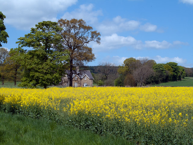
Brancepeth is a small historic village located in County Durham, England. Situated approximately 5 miles southwest of Durham city center, it lies on the banks of the River Deerness. The village is known for its rich history, picturesque surroundings, and well-preserved medieval architecture.
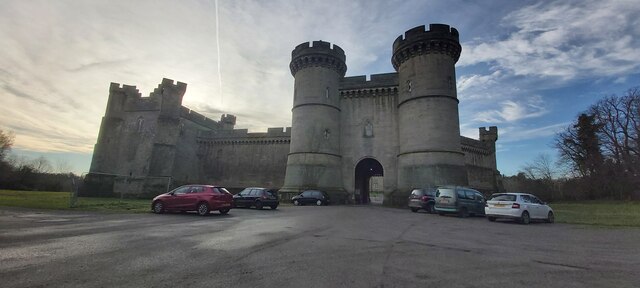
At the heart of Brancepeth stands Brancepeth Castle, an impressive Grade I listed building. Originally constructed in the 14th century, the castle has undergone several renovations over the centuries and now serves as a private residence. Its stunning architecture, including a mighty gatehouse and a grand central courtyard, attracts visitors from far and wide.
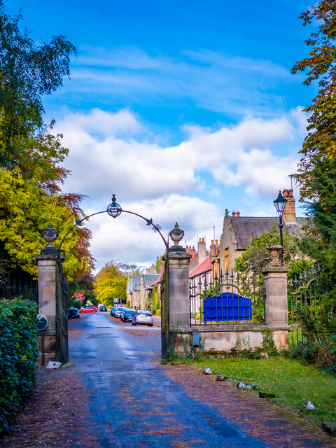
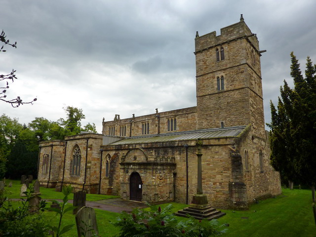
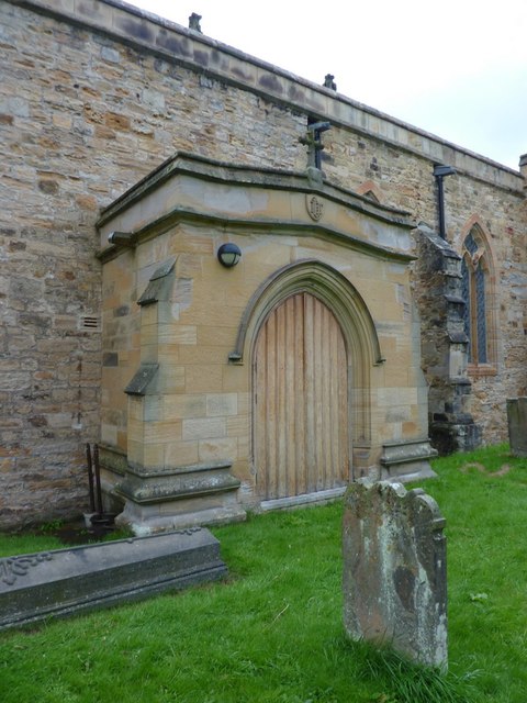
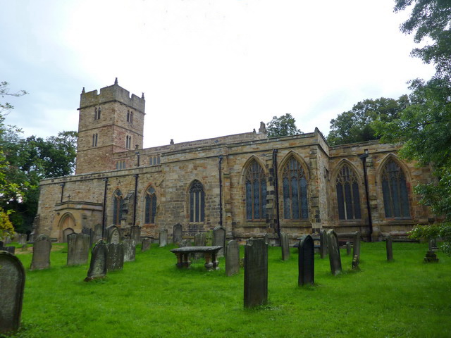
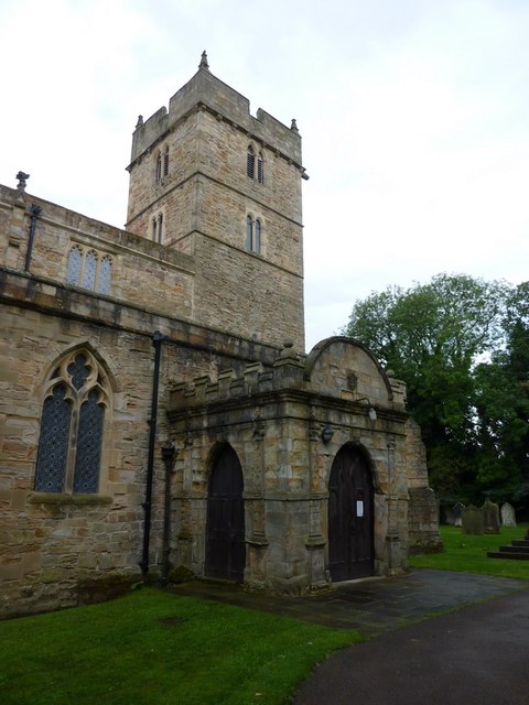
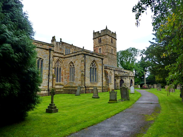
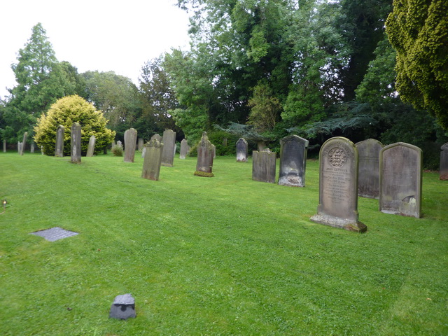
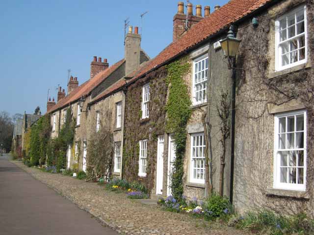
The village itself exudes charm, with its quaint stone cottages and well-manicured gardens. St. Brandon's Church, a Grade II listed building, is a prominent feature of the village. Dating back to the 12th century, the church showcases remarkable Norman and Gothic architectural elements.
Brancepeth also boasts a strong sense of community, with a local pub, The Seven Stars, serving as a hub for residents and visitors alike. Additionally, the village hosts a variety of events throughout the year, including the Brancepeth Castle Craft Fair and the Brancepeth Village Show.
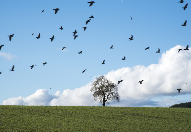
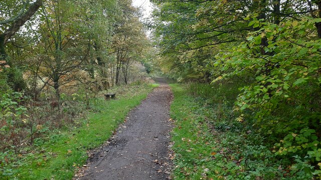
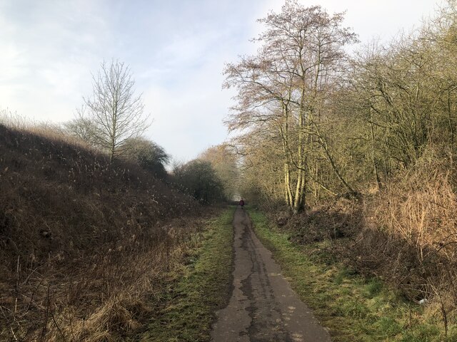
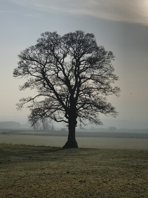
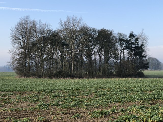
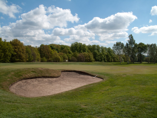
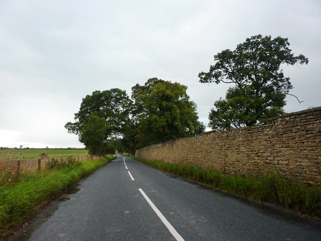
Surrounded by rolling countryside, Brancepeth offers ample opportunities for outdoor activities such as walking, cycling, and fishing. The nearby Brancepeth Beck and Deerness River provide tranquil spots for relaxation and nature appreciation.
In summary, Brancepeth is a charming and historically rich village in County Durham. Its medieval castle, picturesque architecture, and strong community spirit make it a hidden gem for visitors seeking a taste of traditional English village life.
If you have any feedback on the listing, please let us know in the comments section below.
Brancepeth Images
Images are sourced within 2km of 54.737644/-1.658974 or Grid Reference NZ2238. Thanks to Geograph Open Source API. All images are credited.

Brancepeth is located at Grid Ref: NZ2238 (Lat: 54.737644, Lng: -1.658974)
Unitary Authority: County Durham
Police Authority: Durham
What 3 Words
///user.disgraced.teacher. Near Brandon, Co. Durham
Nearby Locations
Related Wikis
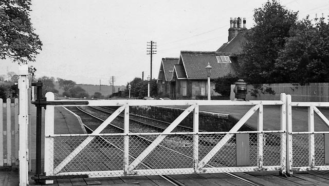
Brancepeth railway station
Brancepeth railway station served the village of Brancepeth, County Durham, North East England from 1857 to 1964 on the Durham to Bishop Auckland Line...

Brancepeth Castle
Brancepeth Castle is a castle in the village of Brancepeth in County Durham, England, some 5 miles south-west of the city of Durham (grid reference NZ223377...
Brancepeth
Brancepeth is a village and civil parish in County Durham, in England. It is situated about 8 km (5 mi) from Durham on the A690 road between Durham and...

Oakenshaw, County Durham
Oakenshaw is a village in County Durham, in England. It is situated to the north of Willington. In the 2001 census Oakenshaw had a population of 470.The...
Nearby Amenities
Located within 500m of 54.737644,-1.658974Have you been to Brancepeth?
Leave your review of Brancepeth below (or comments, questions and feedback).