Whittington

Settlement in Worcestershire Wychavon

England

Whittington

Mucknell Abbey seen from the footpath The derelict Mucknell Farm was demolished and this Benedictine monastery has been built on the site. Completed in 2010. The whole development is eco-sound for fuel and energy and produces most of the food required. See the official website (<span class="nowrap"><a title="www.mucknellabbey.org.uk" rel="nofollow ugc noopener" href="http://www.mucknellabbey.org.uk">Link</a><img style="margin-left:2px;" alt="External link" title="External link - shift click to open in new window" src="https://s1.geograph.org.uk/img/external.png" width="10" height="10"/></span> ) for details.
Mucknell Abbey seen from the footpath Credit: Liz Stone

Whittington is a quaint village located in the county of Worcestershire, England. Situated just four miles south of the historic city of Worcester, it is nestled amidst picturesque countryside and boasts a rich history dating back centuries. With a population of around 1,200, Whittington exudes a charming and close-knit community feel.

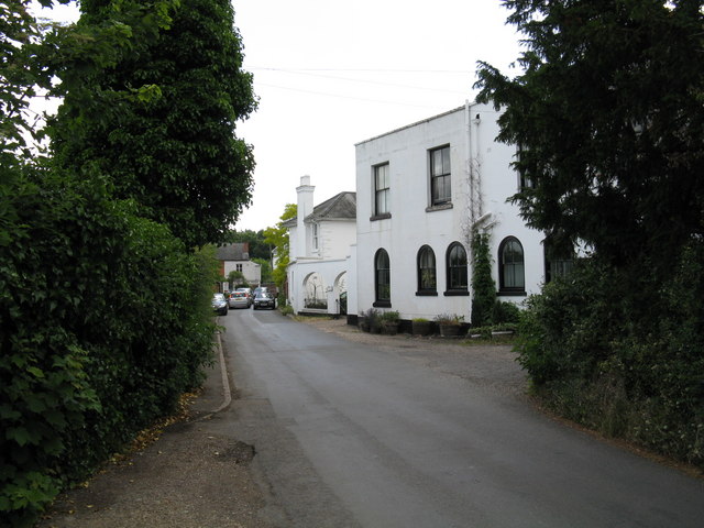
The village is renowned for its stunning architecture, with many properties showcasing beautiful timber-framed designs. The centerpiece of Whittington is undoubtedly the magnificent Whittington Castle, an ancient medieval structure that dates back to the 12th century. The castle, now a Grade I listed building, attracts visitors from far and wide, who come to admire its well-preserved walls and immerse themselves in its fascinating history.

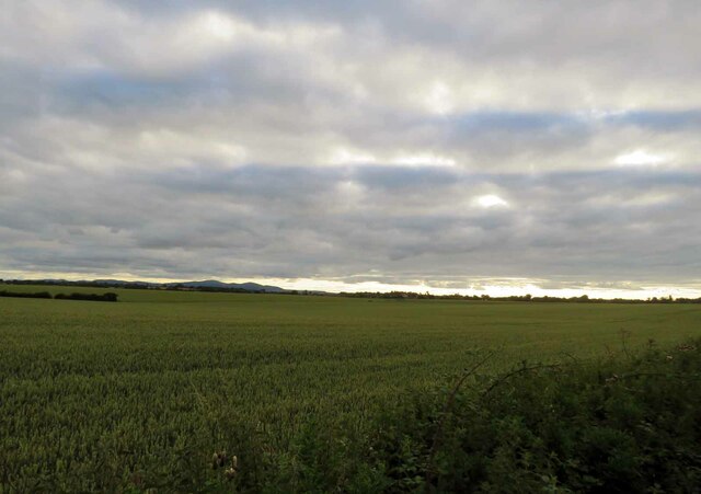
In addition to its architectural wonders, Whittington offers a range of amenities for both residents and visitors. The village is home to a thriving primary school, a village hall that hosts various community events and activities, and a charming pub that serves as a hub for socializing. Outdoor enthusiasts can explore the nearby Whittington Tump, a designated nature reserve that offers scenic walks and wildlife-spotting opportunities.

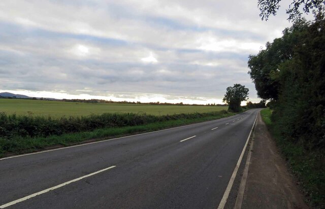
Whittington enjoys excellent transport links, with easy access to the M5 motorway and frequent bus services connecting it to Worcester and surrounding towns. The village's proximity to Worcester also provides residents with a wide range of amenities, including shopping centers, restaurants, and cultural attractions.

Overall, Whittington offers a tranquil and idyllic setting, perfect for those seeking a peaceful retreat while still being within close reach of urban conveniences. Its rich history, stunning architecture, and strong sense of community make it a truly special place to live or visit.

If you have any feedback on the listing, please let us know in the comments section below.

Whittington Images

Images are sourced within 2km of 52.164057/-2.1650392 or Grid Reference SO8851. Thanks to Geograph Open Source API. All images are credited.

Mucknell Abbey seen from the footpath The derelict Mucknell Farm was demolished and this Benedictine monastery has been built on the site. Completed in 2010. The whole development is eco-sound for fuel and energy and produces most of the food required. See the official website (<span class="nowrap"><a title="www.mucknellabbey.org.uk" rel="nofollow ugc noopener" href="http://www.mucknellabbey.org.uk">Link</a><img style="margin-left:2px;" alt="External link" title="External link - shift click to open in new window" src="https://s1.geograph.org.uk/img/external.png" width="10" height="10"/></span> ) for details.
Mucknell Abbey seen from the footpath
The derelict Mucknell Farm was demolished and this Benedictine monastery has been built on the site. Completed in 2010. The whole development is eco-sound for fuel and energy and produces most of the food required. See the official website (LinkExternal link ) for details.
Mucknell Abbey Chapel Interior of the new Chapel at Mucknell
Mucknell Abbey Chapel
Interior of the new Chapel at Mucknell
Chapel exterior Dedicated in the Presence of the Archbishop of Canterbury
Chapel exterior
Dedicated in the Presence of the Archbishop of Canterbury
Commemoration stone Marking the occasion
Commemoration stone
Marking the occasion
Brickbarns Farm Looking west from near the A44 at Sneachill.
Brickbarns Farm
Looking west from near the A44 at Sneachill.
Birch Plantation Grown very close together. Bio mass fuel?
Birch Plantation
Grown very close together. Bio mass fuel?
Mucknall farm Down at the end of a long rutted lane this is almost the sole building to occupy this square .
Mucknall farm
Down at the end of a long rutted lane this is almost the sole building to occupy this square .
Mucknell Farm
Mucknell Farm
Grassland near Mucknell Farm
Mucknell Farm, near Stoulton Now no longer a working farm, it appears work had started but has now ceased on converting this farmhouse and farm buildings.
Mucknell Farm, near Stoulton
Now no longer a working farm, it appears work had started but has now ceased on converting this farmhouse and farm buildings.
Cart shed, Mucknell Farm Cart shed at the disused Mucknell Farm. Conversion work started on the buildings but at present work appears to have ceased.
Cart shed, Mucknell Farm
Cart shed at the disused Mucknell Farm. Conversion work started on the buildings but at present work appears to have ceased.
Barn at Mucknell Farm Red-brick barn complete with ventilation holes at the now redundant Mucknell Farm.
Barn at Mucknell Farm
Red-brick barn complete with ventilation holes at the now redundant Mucknell Farm.
Wind Turbine by Mucknell Abbey With new plantation in front of it
Wind Turbine by Mucknell Abbey
With new plantation in front of it
Wind turbine near Norton, Worcestershire Photographed from the east end of the accommodation bridge over the M5 at Whittington. This wind turbine is visible from far and wide and I first spotted it from Leopard Hill off Newtown Road.
Wind turbine near Norton, Worcestershire
Photographed from the east end of the accommodation bridge over the M5 at Whittington. This wind turbine is visible from far and wide and I first spotted it from Leopard Hill off Newtown Road.
B4064 towards Worcester
Fields south of the B4084 The Malvern Hills are visible on the horizon.
Fields south of the B4084
The Malvern Hills are visible on the horizon.
Mucknell Abbey A former farm converted and extended into an Anglican Benedictine Abbey in 2008-10.
Mucknell Abbey
A former farm converted and extended into an Anglican Benedictine Abbey in 2008-10.
Littleworth Allotments
Show me another place!

Whittington is located at Grid Ref: SO8851 (Lat: 52.164057, Lng: -2.1650392)

Administrative County: Worcestershire

District: Wychavon

Police Authority: West Mercia

What 3 Words

///workshops.gears.riverbed. Near Kempsey, Worcestershire

Related Wikis

Norton Halt railway station

Norton Halt railway station was a station in Norton, Worcestershire, England. The station was opened in 1879 and closed in 1966. == References == ��2...

Worcestershire Parkway railway station

Worcestershire Parkway is a split-level railway station where the Cotswold and Cross Country lines cross near Norton, Worcester, England. It opened on...
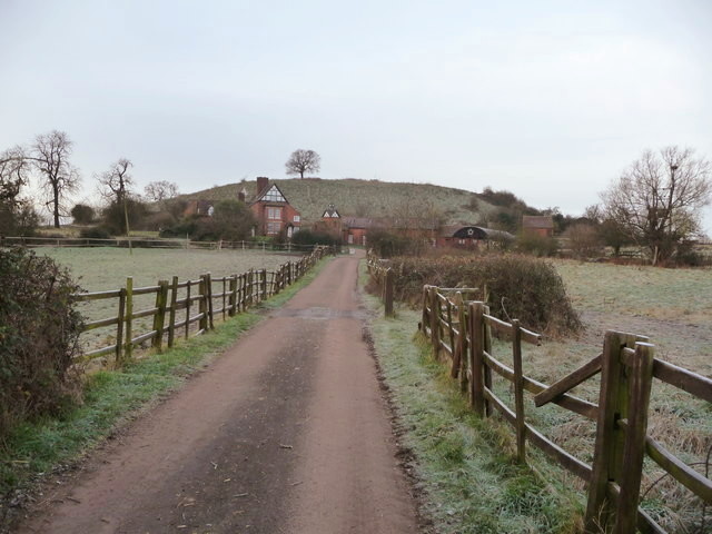
Whittington Tump

Whittington Tump or Crookbarrow Hill is a partly artificial mound in central Worcestershire, England. There is evidence of prehistoric activity at the...

Norton-juxta-Kempsey

Norton-juxta-Kempsey is a civil parish to the south of Worcester in the United Kingdom. It contains the villages of Norton and Littleworth. The parish...

Whittington, Worcestershire

Whittington is a small village near Worcester close to Junction 7 of the M5 motorway, bounded by the motorway and the B4084, in the District of Wychavon...

Littleworth, Worcestershire

Littleworth is a medium-sized village on the outskirts of Worcester. The village is the location of Nortan Juxta Kempsey Primary School and the Norton...

Abbots Wood Junction railway station

Abbots Wood Junction railway station was an early railway station in England, close to Worcester. The station, 68 miles 60 chains (68.75 miles, 110.64...
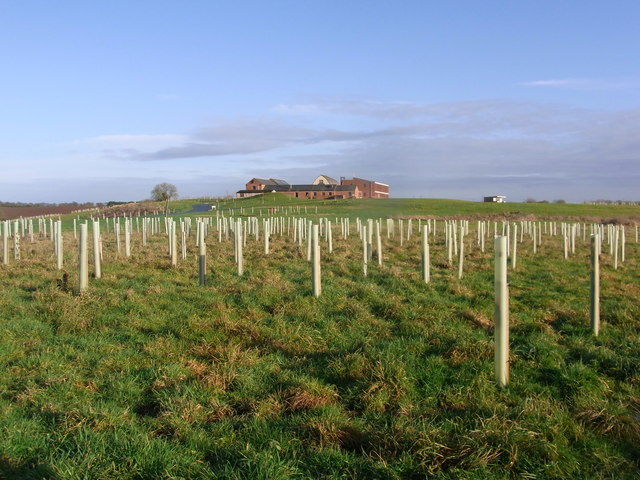
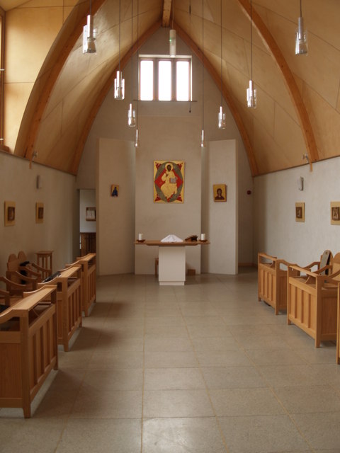
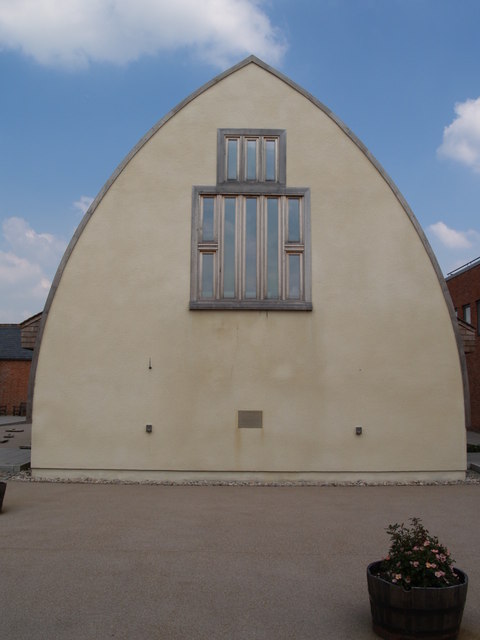
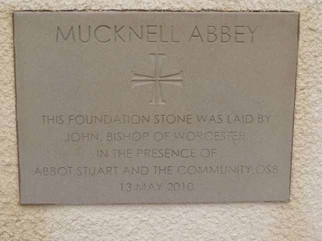
Mucknell Abbey

Mucknell Abbey is an Anglican Benedictine monastery in Worcestershire, England. The community, which formerly lived at Burford, has both male and female...

Nearby Amenities

Located within 500m of 52.164057,-2.1650392
Bus Stop
High Park
Bus: yes
Naptan AtcoCode: 2000G502784
Naptan Bearing: SE
Naptan CommonName: High Park
Naptan Indicator: Adj
Naptan Landmark: High Park
Naptan NaptanCode: wocgmamt
Naptan Street: Pershore Road
Naptan Verified: no
Public Transport: platform
Source: naptan_import
Lat/Long: 52.1641814/-2.1651438
Bus Stop
Firs Cottages Layby
Bus: yes
Naptan AtcoCode: 2000G600003
Naptan Bearing: E
Naptan CommonName: Firs Cottages Layby
Naptan Indicator: Adj
Naptan Landmark: The Firs Layby
Naptan NaptanCode: wocdpjwt
Naptan Street: B4084
Naptan Verified: no
Public Transport: platform
Source: naptan_import
Lat/Long: 52.1647686/-2.1716564
Post Box
Ref: WR5 117
Lat/Long: 52.1640449/-2.1643127
Power: pole
Lat/Long: 52.1599516/-2.1666608
Power: pole
Lat/Long: 52.1599747/-2.1632008
Norton Hall
Power: pole
Transformer: distribution
Voltage Primary: 11000
Lat/Long: 52.1601652/-2.1651105
Power: pole
Lat/Long: 52.1642861/-2.1633424
The Firs
Power: pole
Transformer: distribution
Voltage Primary: 11000
Lat/Long: 52.1650586/-2.1712522
Power: pole
Lat/Long: 52.1654728/-2.1701831
Power: pole
Lat/Long: 52.1654584/-2.1695247
Power: pole
Lat/Long: 52.1667038/-2.1696427
Power: pole
Lat/Long: 52.1658536/-2.1690956
Power: pole
Lat/Long: 52.1653643/-2.168783
Power: pole
Lat/Long: 52.1652123/-2.1679734
Power: pole
Lat/Long: 52.1650391/-2.1670555
High Park Corner
Power: pole
Transformer: distribution
Voltage Primary: 11000
Lat/Long: 52.1641373/-2.1627496
Power: pole
Lat/Long: 52.1645398/-2.1643901
High Park
Power: pole
Transformer: distribution
Voltage Primary: 11000
Lat/Long: 52.1646999/-2.1654349
Power: pole
Lat/Long: 52.1671461/-2.1611061
Power: pole
Lat/Long: 52.1667156/-2.1624392
Ersfield Cottages
Power: pole
Transformer: distribution
Voltage Primary: 11000
Lat/Long: 52.1685201/-2.164757
Power: pole
Lat/Long: 52.1678255/-2.1642247
Power: pole
Lat/Long: 52.1670937/-2.163688
Power: pole
Lat/Long: 52.1664641/-2.1632271
Power: pole
Lat/Long: 52.1660354/-2.1645796
Power: pole
Lat/Long: 52.1656/-2.1659443
Power: pole
Lat/Long: 52.1652788/-2.1660987
Power: pole
Lat/Long: 52.1648894/-2.1662588
Power: pole
Lat/Long: 52.1643691/-2.1664998
High Park Lodge
Power: pole
Transformer: distribution
Voltage Primary: 11000
Lat/Long: 52.1636072/-2.1664392
Power: pole
Lat/Long: 52.1628196/-2.1663743
Power: pole
Lat/Long: 52.1620399/-2.1663137
Power: pole
Lat/Long: 52.1612611/-2.166243
Material: wood
Power: pole
Lat/Long: 52.1608346/-2.1600634
Power: pole
Lat/Long: 52.1604669/-2.1662097
Bus Stop
High Park
Bus: yes
Naptan AtcoCode: 2000G572784
Naptan Bearing: W
Naptan BusStopType: CUS
Naptan CommonName: High Park
Naptan Indicator: Opp
Naptan Landmark: High Park
Naptan NaptanCode: wocgpgja
Naptan Street: Pershore Road
Naptan Verified: no
Public Transport: platform
Source: naptan_import
Lat/Long: 52.1641037/-2.1655215
The data included in this document is from www.openstreetmap.org. The data is made available under ODbL.

Have you been to Whittington?

Leave your review of Whittington below (or comments, questions and feedback).