Brampton Bryan
Settlement in Herefordshire
England
Brampton Bryan

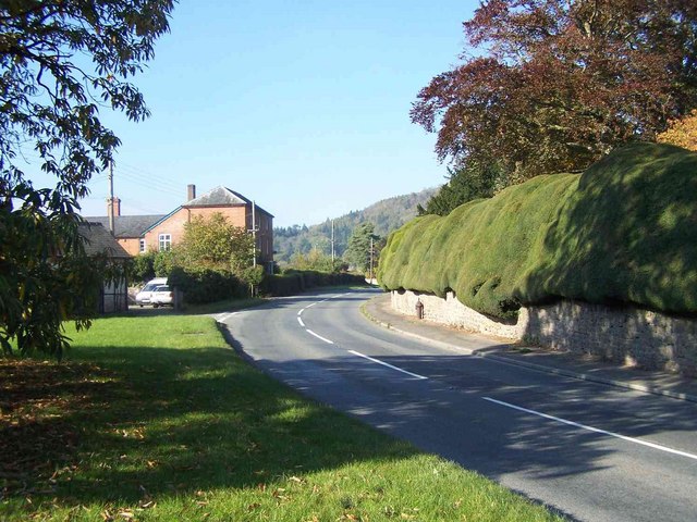
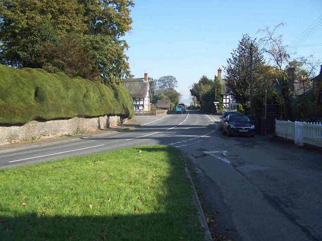
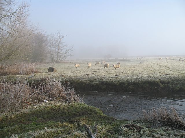
Brampton Bryan is a small village located in the county of Herefordshire, England. Situated on the River Teme, it lies near the border with Wales and is nestled within the picturesque countryside of the Marches. With a population of just over 200 residents, it is known for its tranquil and idyllic setting.
The village is renowned for its historical significance and architectural charm. At its heart stands Brampton Bryan Castle, a Grade I listed building dating back to the 13th century. The castle, originally a Norman motte-and-bailey structure, was later rebuilt in the Jacobean style and remains privately owned by the Harley family. Visitors can explore the castle's grounds, which offer stunning views of the surrounding landscape.
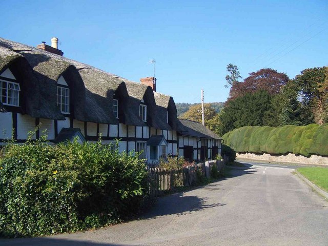
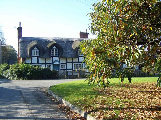
Brampton Bryan is also home to the St. Barnabas Church, a medieval place of worship that exhibits remarkable medieval stained glass windows. The village's main street is lined with quaint cottages, some of which date back to the 17th century, creating a picturesque atmosphere.
Nature enthusiasts can take advantage of the nearby Mortimer Forest, a designated Area of Outstanding Natural Beauty, offering opportunities for hiking, cycling, and wildlife spotting. The River Teme, which flows through the village, is a popular spot for fishing and canoeing.
Overall, Brampton Bryan offers a peaceful retreat for those seeking a break from the hustle and bustle of city life. It is an ideal destination for history lovers, nature enthusiasts, and anyone looking to immerse themselves in the beauty of the Herefordshire countryside.
If you have any feedback on the listing, please let us know in the comments section below.
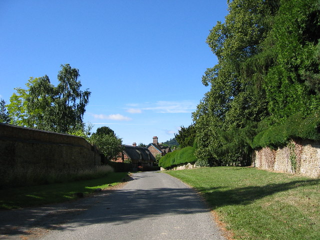
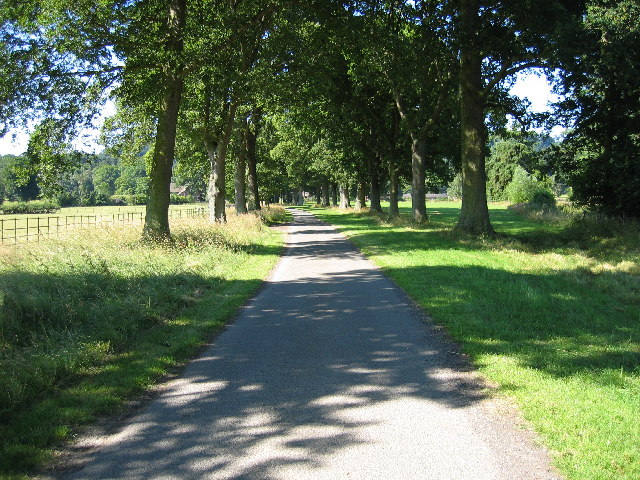
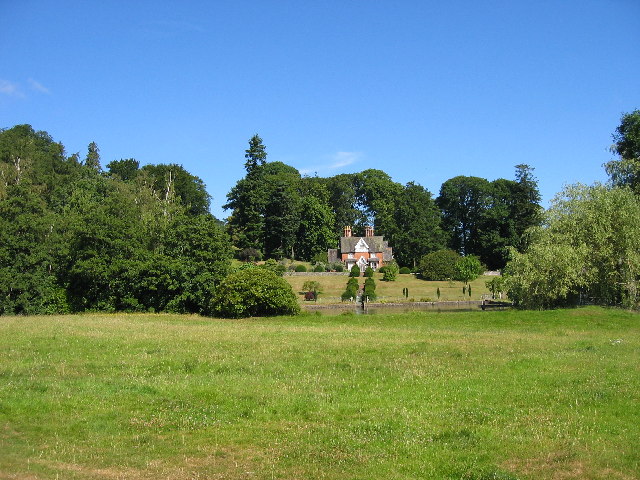
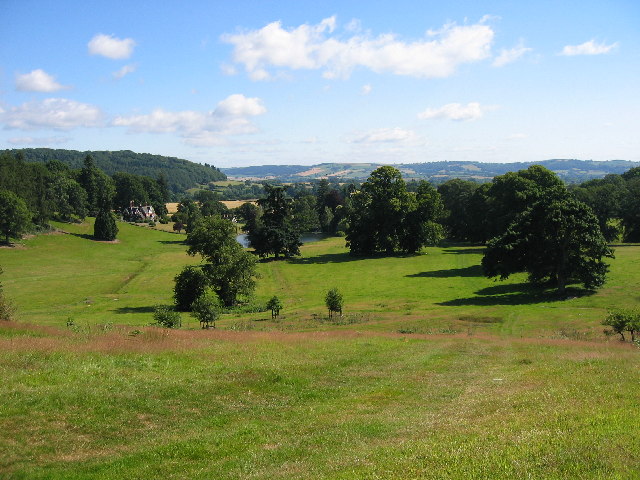
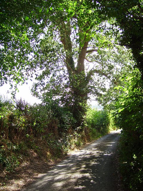
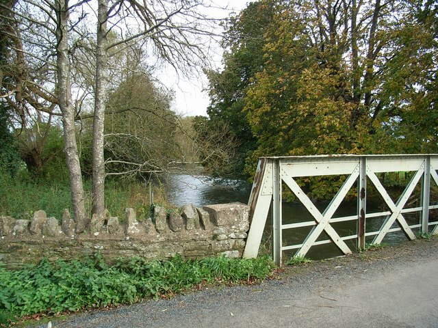
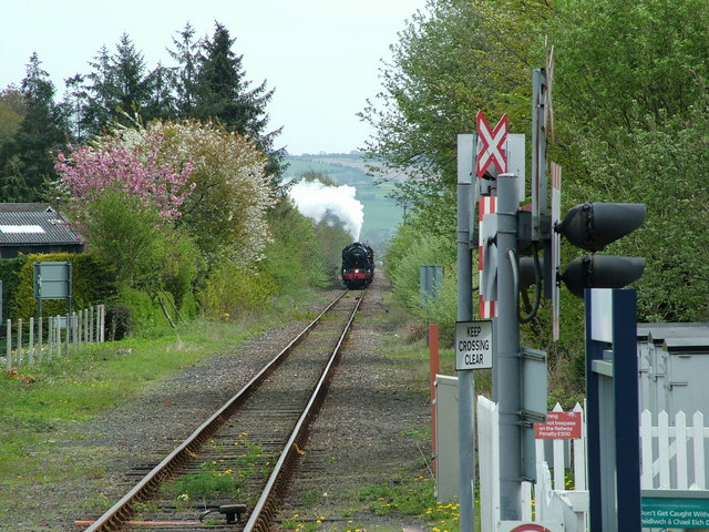
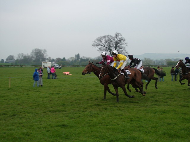
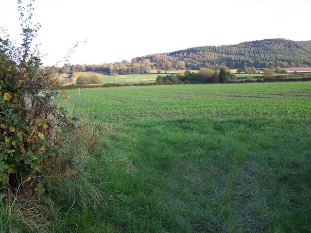
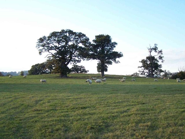
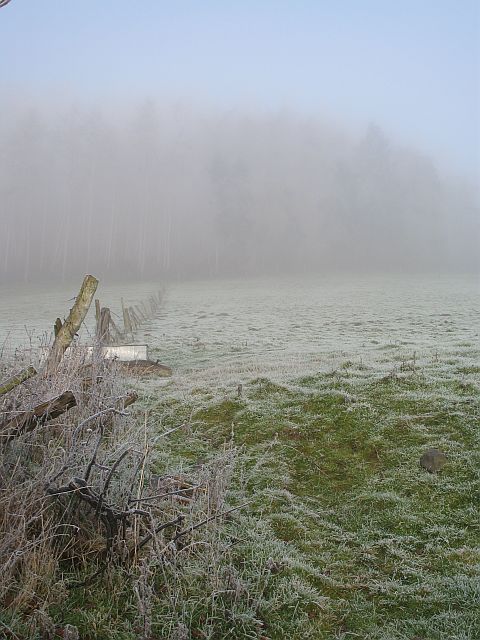
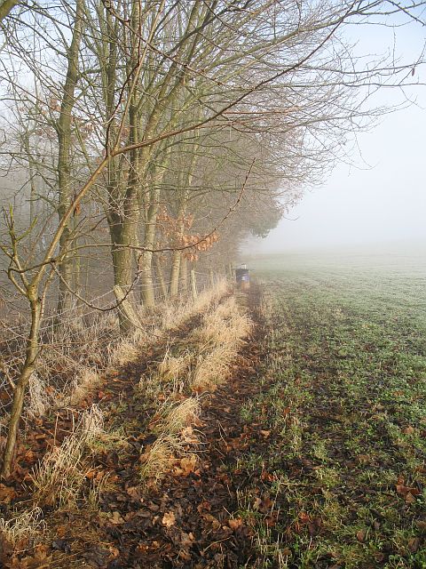
Brampton Bryan Images
Images are sourced within 2km of 52.346246/-2.9259857 or Grid Reference SO3772. Thanks to Geograph Open Source API. All images are credited.
Brampton Bryan is located at Grid Ref: SO3772 (Lat: 52.346246, Lng: -2.9259857)
Unitary Authority: County of Herefordshire
Police Authority: West Mercia
What 3 Words
///weeks.helpfully.idealist. Near Bucknell, Shropshire
Nearby Locations
Related Wikis
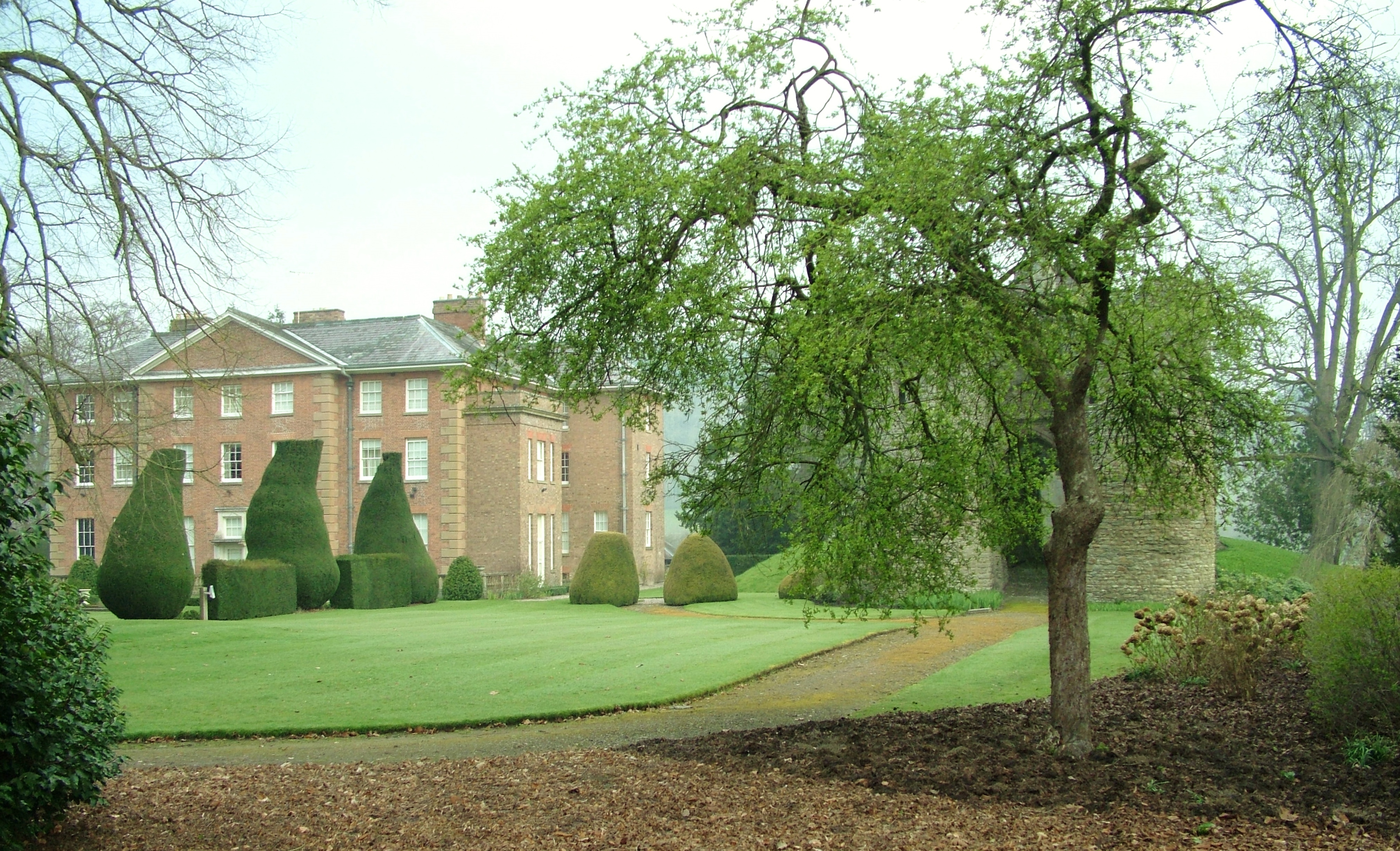
Brampton Bryan Hall
Brampton Bryan Hall is a 17th-century English country house in the village of Brampton Bryan, Herefordshire. It is still owned by the descendants of Robert...

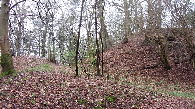
Brampton Bryan Castle
Brampton Bryan Castle is a ruined medieval castle in the small village of Brampton Bryan in north-western Herefordshire, England, 50m south of the River...

Brampton Bryan
Brampton Bryan is a small village and civil parish situated in north Herefordshire, England close to the Shropshire and Welsh borders. Brampton Bryan lies...
Coxall Knoll
Coxall Knoll is a hill lying on the boundary of Shropshire and Herefordshire, England; it is near Bucknell in Shropshire and Buckton and Coxall in Herefordshire...
Nearby Amenities
Located within 500m of 52.346246,-2.9259857Have you been to Brampton Bryan?
Leave your review of Brampton Bryan below (or comments, questions and feedback).