Brampton Ash
Settlement in Northamptonshire
England
Brampton Ash
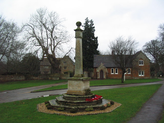
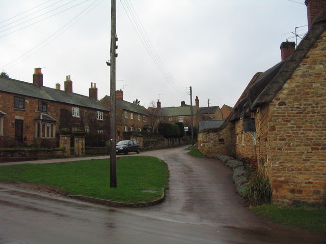
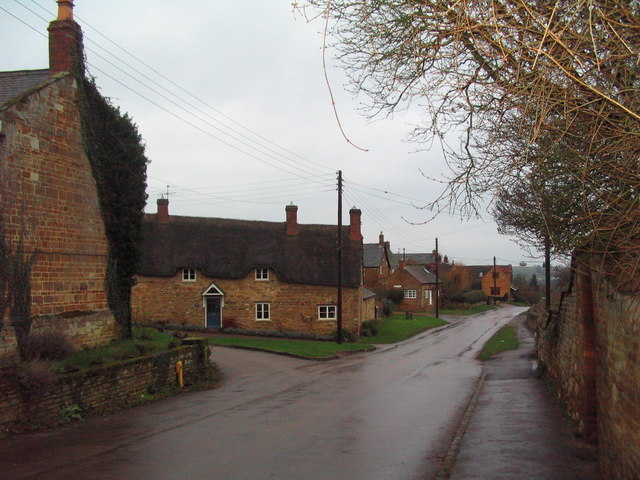
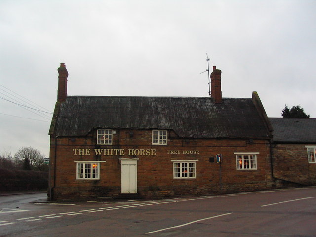
Brampton Ash is a small village located in the county of Northamptonshire, England. Situated about 4 miles southeast of the market town of Market Harborough, it is nestled in the picturesque countryside of the Welland Valley.
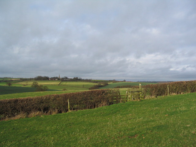
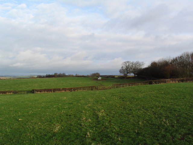
The village is home to a population of around 200 residents, creating a close-knit and friendly community. Brampton Ash is known for its charming rural character, with a mix of traditional cottages and more modern houses. The village is surrounded by beautiful rolling hills, providing stunning views and ample opportunities for outdoor activities such as hiking and cycling.
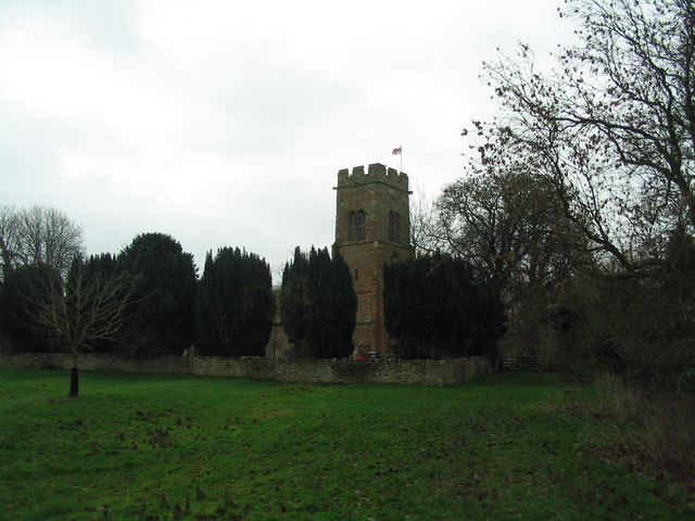
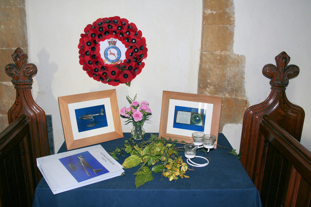
A notable feature of Brampton Ash is the parish church, St. Mary's, which dates back to the 13th century. The church is a focal point for the community and holds regular services and events throughout the year. The village also has a village hall, providing a venue for local gatherings and social events.
Despite its small size, Brampton Ash benefits from its proximity to Market Harborough, which offers a range of amenities including shops, supermarkets, and leisure facilities. The village is well-connected by road, with the A427 passing nearby, providing easy access to surrounding towns and cities.
Overall, Brampton Ash offers a tranquil and idyllic countryside setting, making it an attractive place to live for those seeking a peaceful and rural lifestyle.
If you have any feedback on the listing, please let us know in the comments section below.
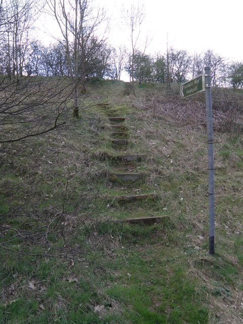
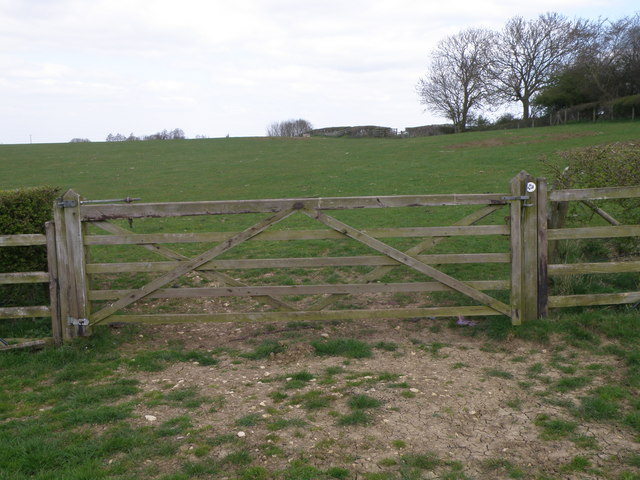
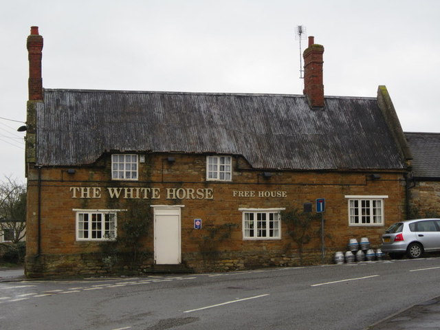
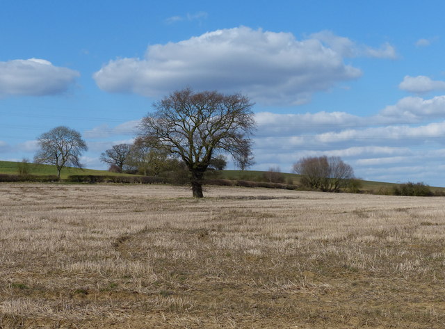
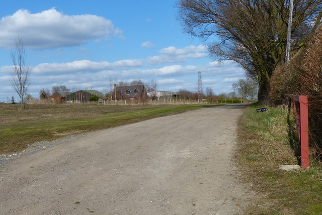
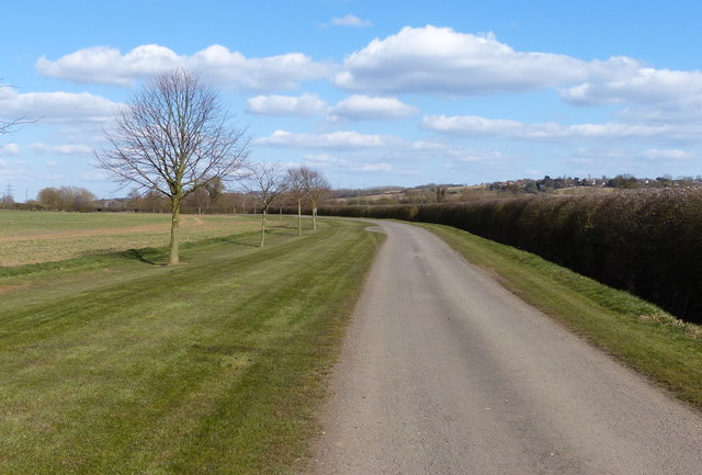
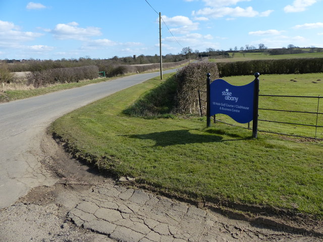
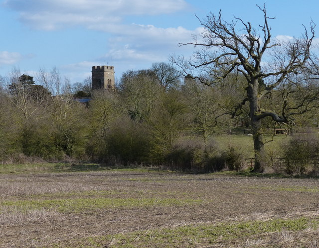
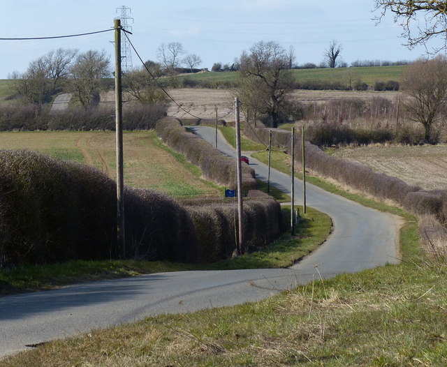
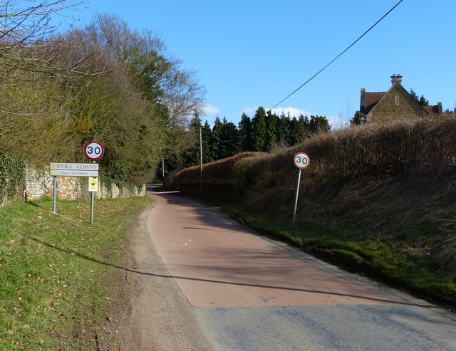
Brampton Ash Images
Images are sourced within 2km of 52.478424/-0.837909 or Grid Reference SP7987. Thanks to Geograph Open Source API. All images are credited.
Brampton Ash is located at Grid Ref: SP7987 (Lat: 52.478424, Lng: -0.837909)
Unitary Authority: North Northamptonshire
Police Authority: Northamptonshire
What 3 Words
///elevates.ruler.cuter. Near Desborough, Northamptonshire
Nearby Locations
Related Wikis

St Mary the Virgin, Brampton Ash
St. Mary the Virgin is the local Church of England parish church for Brampton Ash, Northamptonshire. Sitting in the Diocese of Peterborough, the ironstone...

Brampton Ash
Brampton Ash is a civil parish and village in Northamptonshire, England. It lies in the extreme north-west of Northamptonshire and the nearest urban settlements...

Stoke Albany
Stoke Albany is a village and civil parish in North Northamptonshire, England. It is off the A427 road between Market Harborough and Corby, about halfway...

Stoke and Bowd Lane Woods
Stoke and Bowd Lane Woods is a 36.4-hectare (90-acre) biological Site of Special Scientific Interest west of Corby in Northamptonshire. The eastern half...
Related Videos
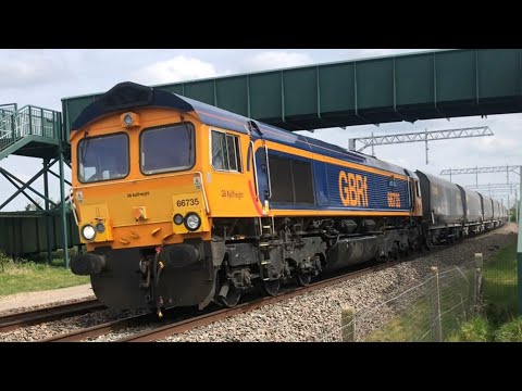
Harborough station BRAYBROOKE FOOT Crossing CLASS 222S EMR class 66s GBRFS HIGH SPEED 9/5/22
please enjoy this video please help me get up to 200 views.
Nearby Amenities
Located within 500m of 52.478424,-0.837909Have you been to Brampton Ash?
Leave your review of Brampton Ash below (or comments, questions and feedback).