Whiteoak Green

Settlement in Oxfordshire West Oxfordshire

England

Whiteoak Green

Road junction Junction near Ramsden.
Road junction Credit: Wayland Smith

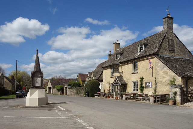
Whiteoak Green is a quaint village located in the county of Oxfordshire in England. Situated in the heart of the picturesque Cotswolds, this rural community offers a peaceful and idyllic setting for its residents.

Surrounded by rolling hills and lush green fields, Whiteoak Green is known for its stunning natural beauty. The village is characterized by traditional stone cottages that exude charm and character, adding to its timeless appeal. The local architecture reflects the region's rich history and heritage.

Despite its small size, Whiteoak Green boasts a strong sense of community. Residents often come together for various social events and activities, fostering a warm and friendly atmosphere. The village has a close-knit primary school that provides education for the local children.

While Whiteoak Green may be tranquil, it is not isolated. The village is conveniently located near larger towns such as Oxford and Chipping Norton, offering easy access to amenities and services. The vibrant city of Oxford, renowned for its prestigious university and cultural landmarks, is just a short drive away.

Nature enthusiasts are spoiled for choice in Whiteoak Green. The surrounding countryside provides ample opportunities for outdoor activities, including hiking, cycling, and horse riding. The nearby Cotswold Wildlife Park is a popular attraction, where visitors can observe various species of animals in their natural habitats.

In summary, Whiteoak Green is a charming and picturesque village in Oxfordshire, offering a peaceful and close-knit community amidst the stunning natural beauty of the Cotswolds.

If you have any feedback on the listing, please let us know in the comments section below.

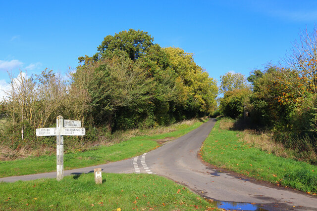
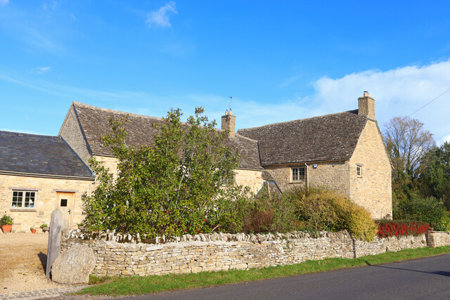
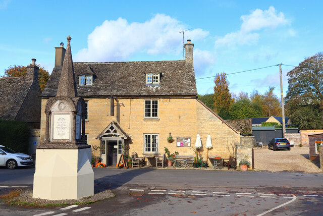
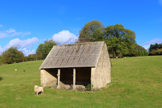
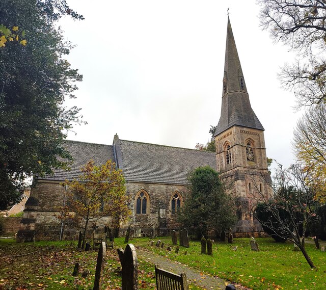
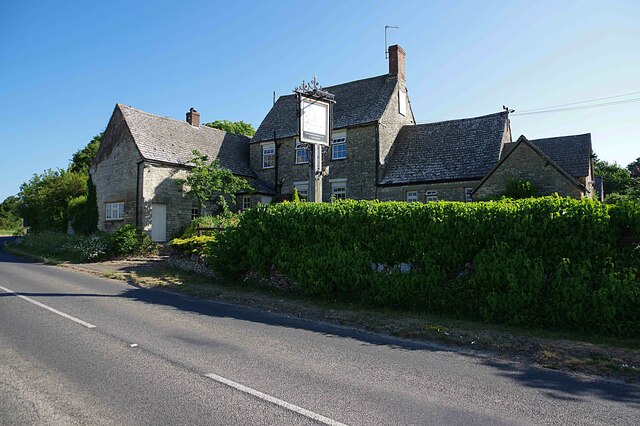
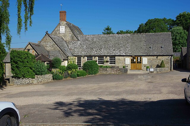
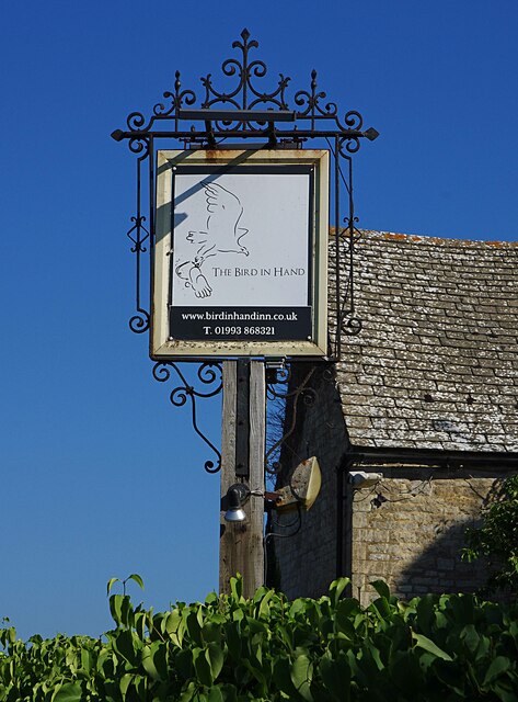
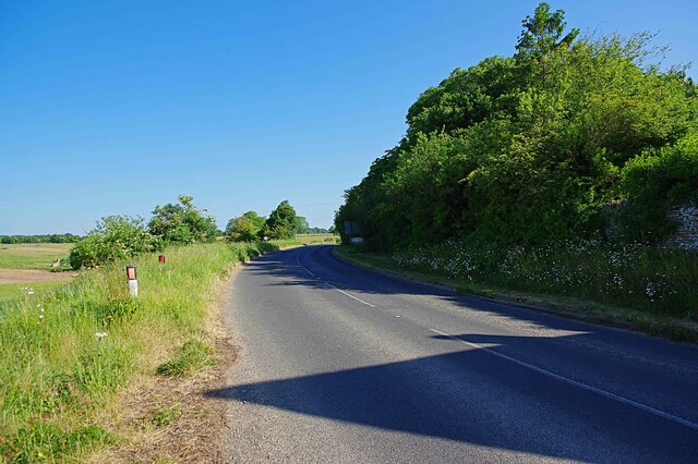
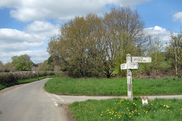
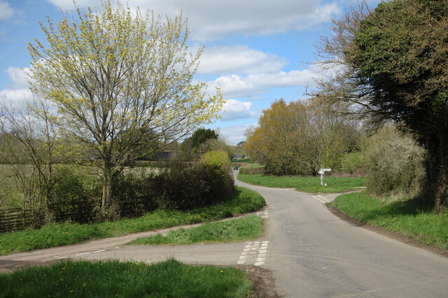
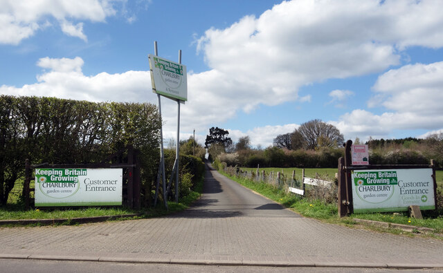
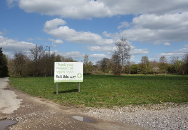
Whiteoak Green Images

Images are sourced within 2km of 51.823841/-1.5029528 or Grid Reference SP3414. Thanks to Geograph Open Source API. All images are credited.

Road junction Junction near Ramsden.
Road junction
Junction near Ramsden.
Upper Farm Dwelling in Ramsden.
Upper Farm
Dwelling in Ramsden.
The Royal Oak Pub and war memorial in Ramsden.
The Royal Oak
Pub and war memorial in Ramsden.
Field Barn Field barn near Ramsden.
Field Barn
Field barn near Ramsden.
Church of St James, Ramsden
Bird in Hand (1), Whiteoak Green, Oxon A few miles from the town of Witney and on the B4022 road. This inn serves food, drinks and has accommodation in 16 bedrooms. The building is believed to date from the 17th century.

<a href="https://www.geograph.org.uk/photo/7418831">SP3413 : Bird in Hand (2), Whiteoak Green, Oxon</a>.
<a href="https://www.geograph.org.uk/photo/7418850">SP3413 : B4022 road heading north towards Finstock, Oxon</a>.
Bird in Hand (1), Whiteoak Green, Oxon
A few miles from the town of Witney and on the B4022 road. This inn serves food, drinks and has accommodation in 16 bedrooms. The building is believed to date from the 17th century. SP3413 : Bird in Hand (2), Whiteoak Green, Oxon. SP3413 : B4022 road heading north towards Finstock, Oxon.
Bird in Hand (2), Whiteoak Green, Oxon Photographed from the car park.

See also:- <a href="https://www.geograph.org.uk/photo/7418821">SP3413 : Bird in Hand (1), Whiteoak Green, Oxon</a>; <a href="https://www.geograph.org.uk/photo/7418836">SP3413 : Bird in Hand (3) - sign, Whiteoak Green, Oxon</a>.
Bird in Hand (2), Whiteoak Green, Oxon
Bird in Hand (3) - sign, Whiteoak Green, Oxon The sign is on a pole adjacent to the B4022 road. Since this photograph was taken, the sign has been replaced by a different design incorporating a white bird on a sky blue background.

<a href="https://www.geograph.org.uk/photo/7418821">SP3413 : Bird in Hand (1), Whiteoak Green, Oxon</a>.
<a href="https://www.geograph.org.uk/photo/7418831">SP3413 : Bird in Hand (2), Whiteoak Green, Oxon</a>.
Bird in Hand (3) - sign, Whiteoak Green, Oxon
The sign is on a pole adjacent to the B4022 road. Since this photograph was taken, the sign has been replaced by a different design incorporating a white bird on a sky blue background. SP3413 : Bird in Hand (1), Whiteoak Green, Oxon. SP3413 : Bird in Hand (2), Whiteoak Green, Oxon.
B4022 road heading north towards Finstock, Oxon The road here is just passing the Bird in Hand inn.

<a href="https://www.geograph.org.uk/photo/7418821">SP3413 : Bird in Hand (1), Whiteoak Green, Oxon</a>.
B4022 road heading north towards Finstock, Oxon
The road here is just passing the Bird in Hand inn. SP3413 : Bird in Hand (1), Whiteoak Green, Oxon.
Slightly Faded Signpost It's that signpost again. Of the six pictures so far for SP3614, this signpost features in four of them.
Apart from an old ruined shed, it's one of the few features of note in this square.
Slightly Faded Signpost
It's that signpost again. Of the six pictures so far for SP3614, this signpost features in four of them. Apart from an old ruined shed, it's one of the few features of note in this square.
Two Road Junctions SP3614's one and only signpost in the distance, with another junction that doesn't even merit a signpost.
Also a parish boundary. I am in Hailey parish, the signpost is in Ramsden.
Two Road Junctions
SP3614's one and only signpost in the distance, with another junction that doesn't even merit a signpost. Also a parish boundary. I am in Hailey parish, the signpost is in Ramsden.
Way into the Garden Centre The entrance to Charlbury Garden Centre. 
In a bit of a rural coffee desert there's a nice cafe here with capuccino and cake.
They also do plants and compost and stuff.
Recommended.
Way into the Garden Centre
The entrance to Charlbury Garden Centre. In a bit of a rural coffee desert there's a nice cafe here with capuccino and cake. They also do plants and compost and stuff. Recommended.
Way out of the Garden Centre There's a one way system around Charlbury Garden Centre, probably because the entrance road is so narrow.
It's a lot longer to get out than to get in.
Way out of the Garden Centre
There's a one way system around Charlbury Garden Centre, probably because the entrance road is so narrow. It's a lot longer to get out than to get in.
The Royal Oak, Ramsden Ramsden's village pub is on a wide bit of the High Street opposite a road junction.
In front, the war memorial stands on a traffic island protected from collisions by a solid concrete plinth.
The Royal Oak, Ramsden
Ramsden's village pub is on a wide bit of the High Street opposite a road junction. In front, the war memorial stands on a traffic island protected from collisions by a solid concrete plinth.
Wilcote Lane, Ramsden You can get to Wilcote along here, but only on foot. For vehicles, it's only a road up to the end of the village.
Wilcote Lane, Ramsden
You can get to Wilcote along here, but only on foot. For vehicles, it's only a road up to the end of the village.
Ramsden High Street Ramsden is an attractive traditional Cotswold village.
Ramsden High Street
Ramsden is an attractive traditional Cotswold village.
High Street, Ramsden
The Lamb Inn (1), Crawley This 18th century inn was taken over in 2008 by a local chef and his wife. As well as having a wide menu, the pub also sells traditional cask ales brewed at the local Wychwood Brewery.

<a href="https://www.geograph.org.uk/photo/2711245">SP3412 : The Lamb Inn (2), Crawley</a>.
<a href="https://www.geograph.org.uk/photo/2711252">SP3412 : The Lamb Inn (3) - sign, Crawley</a>.
The Lamb Inn (1), Crawley
This 18th century inn was taken over in 2008 by a local chef and his wife. As well as having a wide menu, the pub also sells traditional cask ales brewed at the local Wychwood Brewery. SP3412 : The Lamb Inn (2), Crawley. SP3412 : The Lamb Inn (3) - sign, Crawley.
Show me another place!

Whiteoak Green is located at Grid Ref: SP3414 (Lat: 51.823841, Lng: -1.5029528)

Administrative County: Oxfordshire

District: West Oxfordshire

Police Authority: Thames Valley

What 3 Words

///retract.sharpness.engine. Near North Leigh, Oxfordshire

Related Wikis

Crawley, Oxfordshire

Crawley is a village and civil parish beside the River Windrush about 2+1⁄2 miles (4 km) north of Witney, Oxfordshire. The parish extends from the Windrush...

Hailey, Oxfordshire

Hailey is a village and civil parish about 2 miles (3 km) north of Witney, Oxfordshire. The village comprises three neighbourhoods: Middletown on the main...

Witney (UK Parliament constituency)

Witney is a county constituency in Oxfordshire represented in the House of Commons of the Parliament of the United Kingdom since 2016 by Robert Courts...

Wilcote

Wilcote is a hamlet about 3+1⁄2 miles (5.6 km) north of Witney in Oxfordshire, England. Wilcote was a hamlet of Cogges from at least the Middle Ages until...

Nearby Amenities

Located within 500m of 51.823841,-1.5029528
The Bird In Hand
Addr City: Whiteoak Green
Addr Postcode: OX29 9XP
Tourism: motel
Lat/Long: 51.8229896/-1.5021989
White Oak Green
Is In: Oxfordshire, England, UK
Place: hamlet
Lat/Long: 51.8238428/-1.5005693
Whiteoak Green
Naptan AtcoCode: 3400003720PH
Naptan Bearing: S
Naptan BusStopType: CUS
Naptan CommonName: Whiteoak Green
Naptan Indicator: Outside
Naptan Landmark: Bird in Hand PH
Naptan Street: B4022
Naptan Verified: no
Source: naptan_import
Lat/Long: 51.8230127/-1.5026468
Whiteoak Green
Naptan AtcoCode: 340000372OPP
Naptan Bearing: N
Naptan BusStopType: CUS
Naptan CommonName: Whiteoak Green
Naptan Indicator: Opposite
Naptan Landmark: Bird in Hand PH
Naptan Street: B4022
Naptan Verified: no
Source: naptan_import
Lat/Long: 51.8229777/-1.5028648
The data included in this document is from www.openstreetmap.org. The data is made available under ODbL.

Have you been to Whiteoak Green?

Leave your review of Whiteoak Green below (or comments, questions and feedback).