Singe Wood

Wood, Forest in Oxfordshire West Oxfordshire

England

Singe Wood

Poffley End Lane Road junction near Witney.
Poffley End Lane Credit: Wayland Smith

Singe Wood is a picturesque forest located in the county of Oxfordshire, England. Situated just a few miles south of the historic city of Oxford, Singe Wood covers an area of approximately 200 acres, making it a popular destination for nature enthusiasts and outdoor lovers.

The wood is primarily composed of mature deciduous trees, such as oak, beech, and birch, which create a dense canopy, providing shade and shelter for a variety of wildlife. Singe Wood is known for its rich biodiversity, with numerous species of birds, mammals, and insects calling it home. Visitors may spot red kites soaring above the treetops, while on the forest floor, they may come across badgers, foxes, and deer.

The wood offers a network of well-maintained footpaths, allowing visitors to explore its beauty and tranquility. There are also several picnic areas, providing an ideal spot to relax and enjoy the natural surroundings. In the spring, Singe Wood bursts into life, with vibrant displays of bluebells carpeting the forest floor, creating a breathtaking sight.

Due to its close proximity to Oxford, Singe Wood is easily accessible by both public and private transportation. It is a popular destination for locals and tourists alike, seeking a peaceful escape from the bustling city. Whether it's for a leisurely walk, birdwatching, or simply to enjoy the beauty of nature, Singe Wood offers a serene and enchanting experience for all who visit.

If you have any feedback on the listing, please let us know in the comments section below.
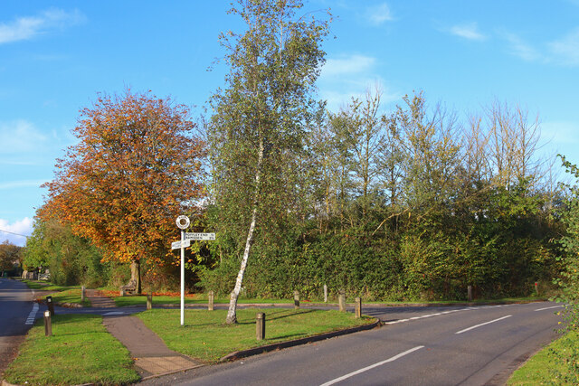
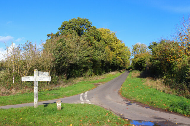
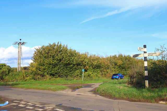
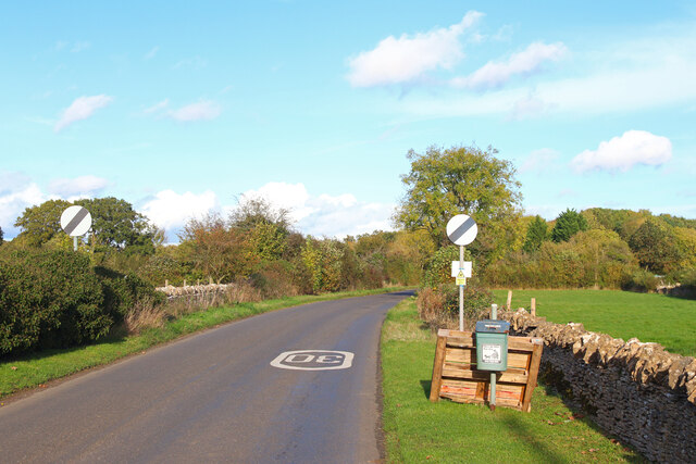
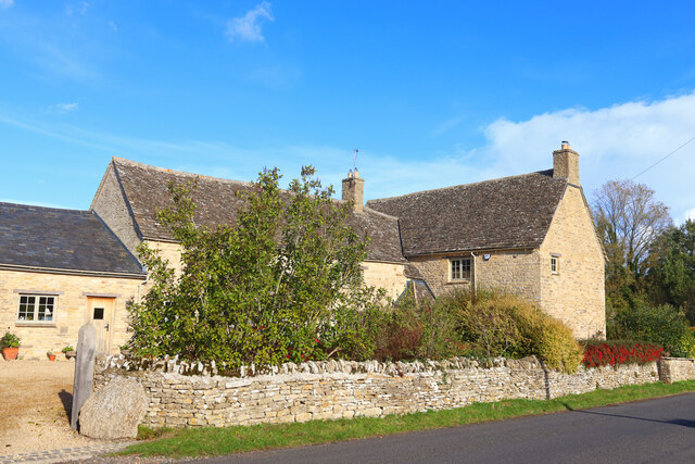
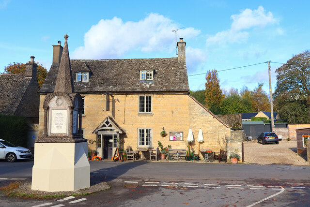
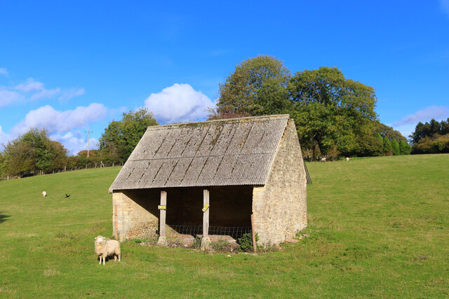
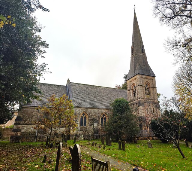
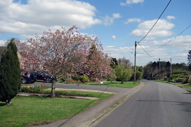
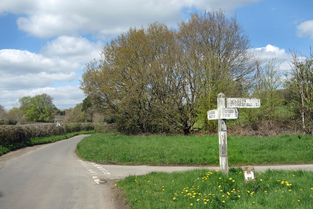
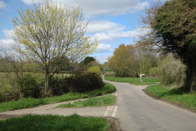
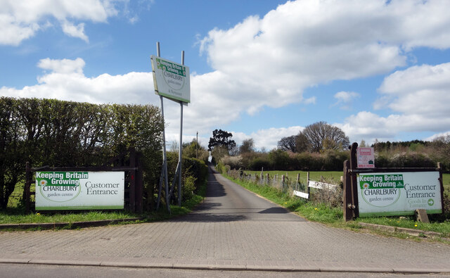
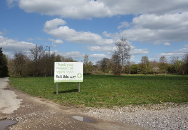
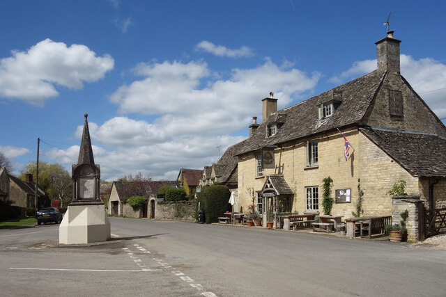
Singe Wood Images

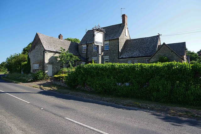
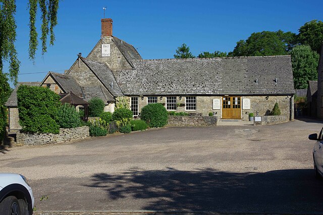
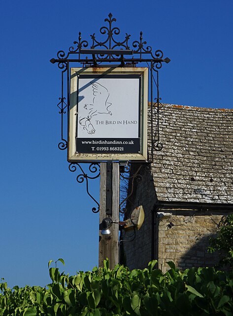
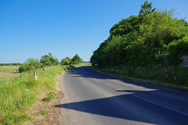
Images are sourced within 2km of 51.824276/-1.4952145 or Grid Reference SP3414. Thanks to Geograph Open Source API. All images are credited.

Poffley End Lane Road junction near Witney.
Poffley End Lane
Road junction near Witney.
Road junction Junction near Ramsden.
Road junction
Junction near Ramsden.
Whitings Lane Road Junction near Witney.
Whitings Lane
Road Junction near Witney.
Hatfield Pits Lane Minor road through Poffley.
Hatfield Pits Lane
Minor road through Poffley.
Upper Farm Dwelling in Ramsden.
Upper Farm
Dwelling in Ramsden.
The Royal Oak Pub and war memorial in Ramsden.
The Royal Oak
Pub and war memorial in Ramsden.
Field Barn Field barn near Ramsden.
Field Barn
Field barn near Ramsden.
Church of St James, Ramsden
Bird in Hand (1), Whiteoak Green, Oxon A few miles from the town of Witney and on the B4022 road. This inn serves food, drinks and has accommodation in 16 bedrooms. The building is believed to date from the 17th century.

<a href="https://www.geograph.org.uk/photo/7418831">SP3413 : Bird in Hand (2), Whiteoak Green, Oxon</a>.
<a href="https://www.geograph.org.uk/photo/7418850">SP3413 : B4022 road heading north towards Finstock, Oxon</a>.
Bird in Hand (1), Whiteoak Green, Oxon
A few miles from the town of Witney and on the B4022 road. This inn serves food, drinks and has accommodation in 16 bedrooms. The building is believed to date from the 17th century. SP3413 : Bird in Hand (2), Whiteoak Green, Oxon. SP3413 : B4022 road heading north towards Finstock, Oxon.
Bird in Hand (2), Whiteoak Green, Oxon Photographed from the car park.

See also:- <a href="https://www.geograph.org.uk/photo/7418821">SP3413 : Bird in Hand (1), Whiteoak Green, Oxon</a>; <a href="https://www.geograph.org.uk/photo/7418836">SP3413 : Bird in Hand (3) - sign, Whiteoak Green, Oxon</a>.
Bird in Hand (2), Whiteoak Green, Oxon
Bird in Hand (3) - sign, Whiteoak Green, Oxon The sign is on a pole adjacent to the B4022 road. Since this photograph was taken, the sign has been replaced by a different design incorporating a white bird on a sky blue background.

<a href="https://www.geograph.org.uk/photo/7418821">SP3413 : Bird in Hand (1), Whiteoak Green, Oxon</a>.
<a href="https://www.geograph.org.uk/photo/7418831">SP3413 : Bird in Hand (2), Whiteoak Green, Oxon</a>.
Bird in Hand (3) - sign, Whiteoak Green, Oxon
The sign is on a pole adjacent to the B4022 road. Since this photograph was taken, the sign has been replaced by a different design incorporating a white bird on a sky blue background. SP3413 : Bird in Hand (1), Whiteoak Green, Oxon. SP3413 : Bird in Hand (2), Whiteoak Green, Oxon.
B4022 road heading north towards Finstock, Oxon The road here is just passing the Bird in Hand inn.

<a href="https://www.geograph.org.uk/photo/7418821">SP3413 : Bird in Hand (1), Whiteoak Green, Oxon</a>.
B4022 road heading north towards Finstock, Oxon
The road here is just passing the Bird in Hand inn. SP3413 : Bird in Hand (1), Whiteoak Green, Oxon.
High Street, Mount Skippett A continuation of Finstock High Street. 
Mount Skippett is a settlement of mainly 20th century housing between the old villages of Ramsden and Finstock.
As for being a Mount, at around 170 metres aod it is just that bit higher than the surrounding area, but not much.
High Street, Mount Skippett
A continuation of Finstock High Street. Mount Skippett is a settlement of mainly 20th century housing between the old villages of Ramsden and Finstock. As for being a Mount, at around 170 metres aod it is just that bit higher than the surrounding area, but not much.
Slightly Faded Signpost It's that signpost again. Of the six pictures so far for SP3614, this signpost features in four of them.
Apart from an old ruined shed, it's one of the few features of note in this square.
Slightly Faded Signpost
It's that signpost again. Of the six pictures so far for SP3614, this signpost features in four of them. Apart from an old ruined shed, it's one of the few features of note in this square.
Two Road Junctions SP3614's one and only signpost in the distance, with another junction that doesn't even merit a signpost.
Also a parish boundary. I am in Hailey parish, the signpost is in Ramsden.
Two Road Junctions
SP3614's one and only signpost in the distance, with another junction that doesn't even merit a signpost. Also a parish boundary. I am in Hailey parish, the signpost is in Ramsden.
Way into the Garden Centre The entrance to Charlbury Garden Centre. 
In a bit of a rural coffee desert there's a nice cafe here with capuccino and cake.
They also do plants and compost and stuff.
Recommended.
Way into the Garden Centre
The entrance to Charlbury Garden Centre. In a bit of a rural coffee desert there's a nice cafe here with capuccino and cake. They also do plants and compost and stuff. Recommended.
Way out of the Garden Centre There's a one way system around Charlbury Garden Centre, probably because the entrance road is so narrow.
It's a lot longer to get out than to get in.
Way out of the Garden Centre
There's a one way system around Charlbury Garden Centre, probably because the entrance road is so narrow. It's a lot longer to get out than to get in.
The Royal Oak, Ramsden Ramsden's village pub is on a wide bit of the High Street opposite a road junction.
In front, the war memorial stands on a traffic island protected from collisions by a solid concrete plinth.
The Royal Oak, Ramsden
Ramsden's village pub is on a wide bit of the High Street opposite a road junction. In front, the war memorial stands on a traffic island protected from collisions by a solid concrete plinth.
Show me another place!

Singe Wood is located at Grid Ref: SP3414 (Lat: 51.824276, Lng: -1.4952145)

Administrative County: Oxfordshire

District: West Oxfordshire

Police Authority: Thames Valley

Also known as: Saint John's Wood

What 3 Words

///jotting.vague.dancer. Near North Leigh, Oxfordshire

Related Wikis

Hailey, Oxfordshire

Hailey is a village and civil parish about 2 miles (3 km) north of Witney, Oxfordshire. The village comprises three neighbourhoods: Middletown on the main...

Crawley, Oxfordshire

Crawley is a village and civil parish beside the River Windrush about 2+1⁄2 miles (4 km) north of Witney, Oxfordshire. The parish extends from the Windrush...

Wilcote

Wilcote is a hamlet about 3+1⁄2 miles (5.6 km) north of Witney in Oxfordshire, England. Wilcote was a hamlet of Cogges from at least the Middle Ages until...

Witney (UK Parliament constituency)

Witney is a county constituency in Oxfordshire represented in the House of Commons of the Parliament of the United Kingdom since 2016 by Robert Courts...

Nearby Amenities

Located within 500m of 51.824276,-1.4952145
White Oak Green
Is In: Oxfordshire, England, UK
Place: hamlet
Lat/Long: 51.8238428/-1.5005693
Power: pole
Source: Bing
Lat/Long: 51.8255788/-1.4888893
Power: pole
Source: Bing
Lat/Long: 51.8271551/-1.4956609
Power: pole
Source: Bing
Lat/Long: 51.826772/-1.4939861
Power: pole
Source: Bing
Lat/Long: 51.8279277/-1.4986962
Power: pole
Source: Bing
Lat/Long: 51.8275932/-1.4981076
Power: pole
Source: Bing
Lat/Long: 51.8259733/-1.4905737
Power: pole
Source: Bing
Lat/Long: 51.8275434/-1.4971763
Power: pole
Source: Bing
Lat/Long: 51.8263746/-1.4922849
The data included in this document is from www.openstreetmap.org. The data is made available under ODbL.

Have you been to Singe Wood?

Leave your review of Singe Wood below (or comments, questions and feedback).