Whitekirk

Settlement in East Lothian

Scotland

Whitekirk

Ride, Binning Wood
Ride, Binning Wood Credit: Richard Webb

Whitekirk is a small village located in East Lothian, Scotland. Situated approximately 20 miles east of Edinburgh, it falls within the administrative area of East Lothian Council. The village is nestled amidst beautiful countryside, offering stunning views of the rolling hills and nearby coastline.

The history of Whitekirk dates back several centuries, with records indicating its existence as early as the 12th century. The village is renowned for its historic church, known as Whitekirk and Tyninghame Parish Church. This architectural gem was built in the 14th century and boasts impressive stained glass windows, intricate stonework, and a unique octagonal tower.

Whitekirk is a popular destination for tourists and locals alike, drawn to its tranquil ambiance and picturesque surroundings. Visitors can explore the nearby John Muir Country Park, which offers a variety of walking trails and a chance to observe local wildlife. The village also serves as a gateway to East Lothian's renowned golf courses, including Muirfield and Gullane, which attract golf enthusiasts from around the world.

Despite its small size, Whitekirk offers a range of amenities to its residents. These include a primary school, a village hall, and a local pub. The village maintains a strong sense of community, with regular events and activities organized throughout the year, fostering a friendly and welcoming atmosphere.

Overall, Whitekirk is a charming village that combines rich history, stunning natural beauty, and a close-knit community, making it an appealing place to visit or call home.

If you have any feedback on the listing, please let us know in the comments section below.
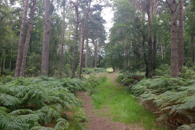
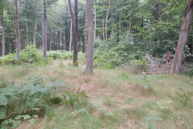
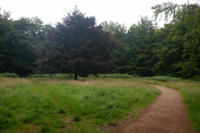
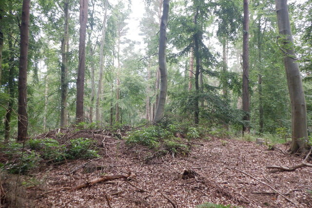
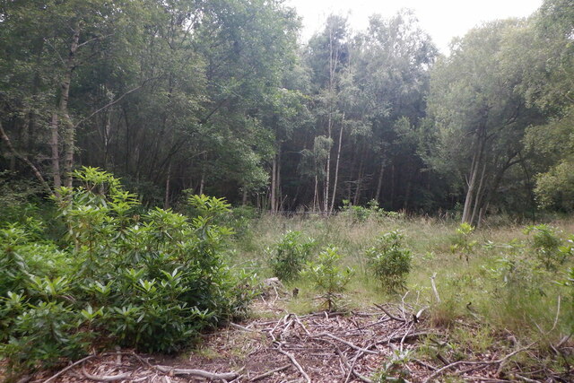
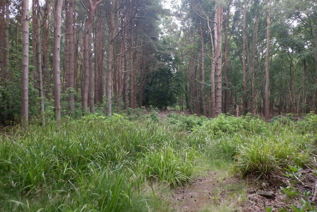
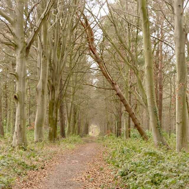
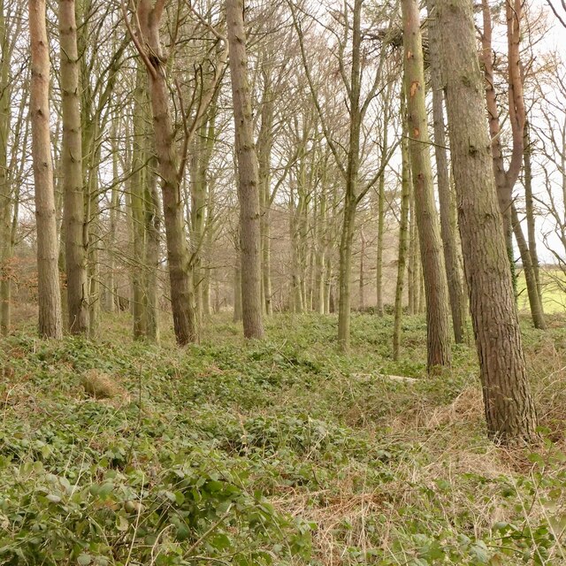
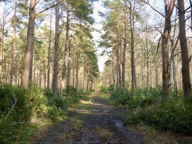
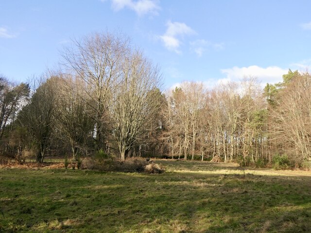
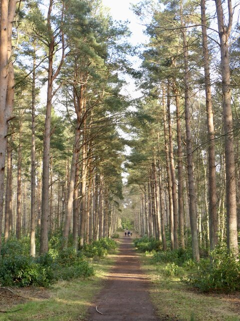
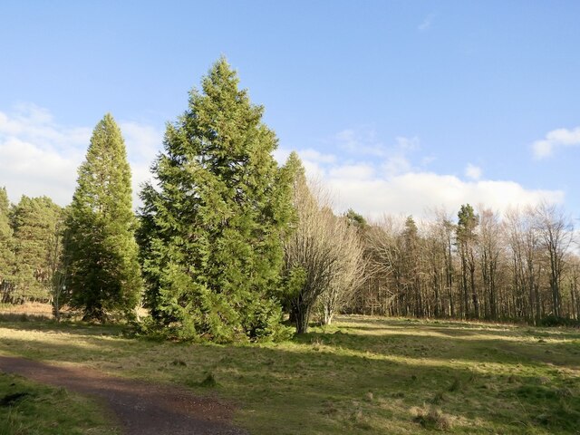
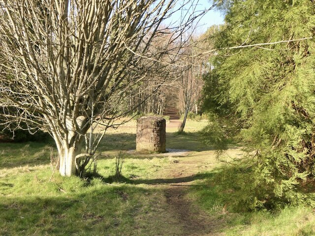
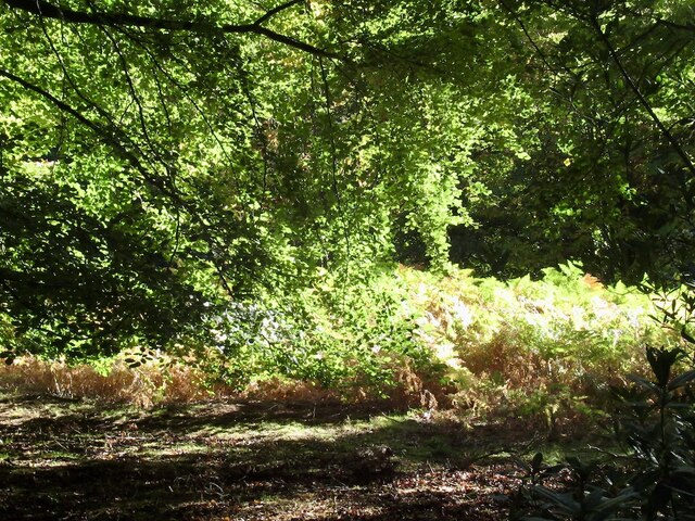
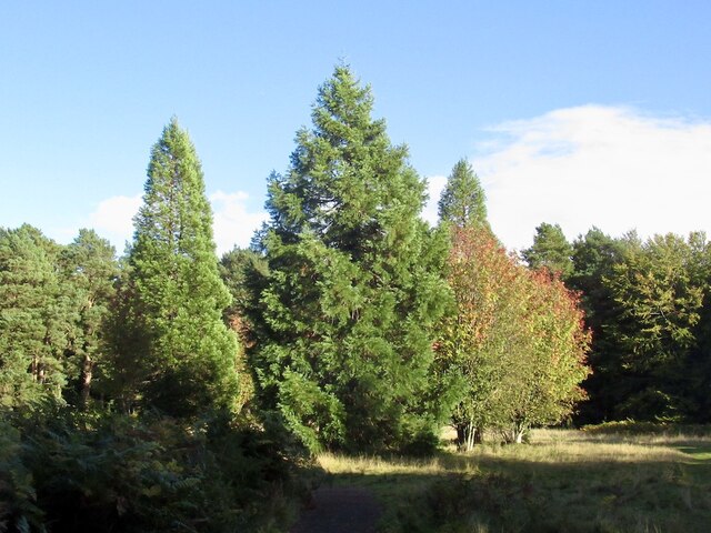
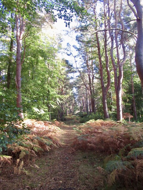
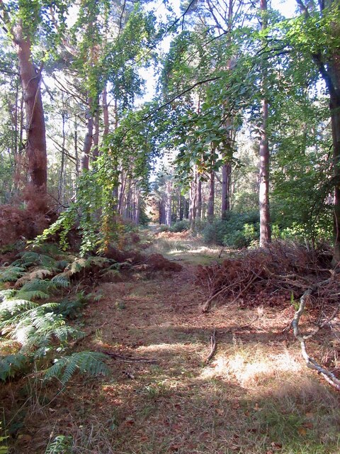
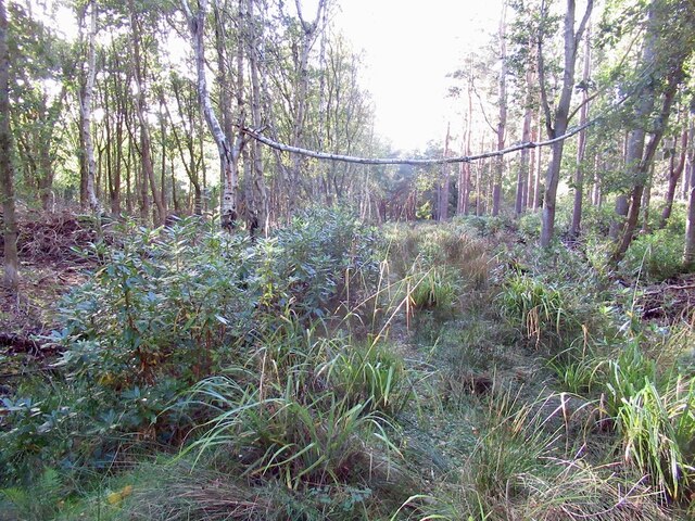
Whitekirk Images

Images are sourced within 2km of 56.024485/-2.650115 or Grid Reference NT5981. Thanks to Geograph Open Source API. All images are credited.

Ride, Binning Wood
Ride, Binning Wood
Binning Wood
Binning Wood
Bruce's Circle One of the three big clearings in Binning Wood. The all weather path is a new addition.
Bruce's Circle
One of the three big clearings in Binning Wood. The all weather path is a new addition.
Binning Wood A constant battle with the rhododendron infestation.
Binning Wood
A constant battle with the rhododendron infestation.
Clearing, Binning Wood
Damp clearing, Binning Wood One of the notorious muddy bits, but very dry and friendly today. A ditch runs left right through the vegetation.
Damp clearing, Binning Wood
One of the notorious muddy bits, but very dry and friendly today. A ditch runs left right through the vegetation.
Track, Binning Wood Along the southern edge of the wood.
Track, Binning Wood
Along the southern edge of the wood.
Binning Wood brambles Brambles are not so common in Scottish woodlands, they seem to be thriving in this corner of Binning Wood away from the rhododendrons.
Binning Wood brambles
Brambles are not so common in Scottish woodlands, they seem to be thriving in this corner of Binning Wood away from the rhododendrons.
Track, Binning Wood Many of the radiating rides have become indistinct or rhododendron choked. This one is still in frequent use.
Track, Binning Wood
Many of the radiating rides have become indistinct or rhododendron choked. This one is still in frequent use.
Clearing, Binning Wood One of three clearings which are the origins of a confusing network of radiating rides.
Clearing, Binning Wood
One of three clearings which are the origins of a confusing network of radiating rides.
Track, Binning Wood An all weather surfaced track links two of the big clearings. Most paths in the woodland tend to be rather muddy so the new paths are rather popular.
Track, Binning Wood
An all weather surfaced track links two of the big clearings. Most paths in the woodland tend to be rather muddy so the new paths are rather popular.
Clearing, Binning Wood The largest of three clearings that radiate rides throughout Binning Wood.
Clearing, Binning Wood
The largest of three clearings that radiate rides throughout Binning Wood.
Monument and clearing, Binning Wood Binning reputedly was one of the main plantations used to build De Havilland Mosquitoes in World War II. The wood was replanted maintaining the radial ride pattern from three clearings.
Monument and clearing, Binning Wood
Binning reputedly was one of the main plantations used to build De Havilland Mosquitoes in World War II. The wood was replanted maintaining the radial ride pattern from three clearings.
Clearing, Binning Wood One of the clearings in Binning Wood.
Clearing, Binning Wood
One of the clearings in Binning Wood.
Clearing, Binning Wood One of three clearings in the wood. Rides radiate from all three.
Clearing, Binning Wood
One of three clearings in the wood. Rides radiate from all three.
Ride, Binning Wood Rides radiate from three clearings. This one originates from the northernmost one, Bruce's Circle.
Ride, Binning Wood
Rides radiate from three clearings. This one originates from the northernmost one, Bruce's Circle.
Ride, Binning Wood Rides radiate from three clearings. This one originates from the northernmost one, Bruce's Circle.
Ride, Binning Wood
Rides radiate from three clearings. This one originates from the northernmost one, Bruce's Circle.
Ditch and ride, Binning Wood
Show me another place!

Whitekirk is located at Grid Ref: NT5981 (Lat: 56.024485, Lng: -2.650115)

Unitary Authority: East Lothian

Police Authority: The Lothians and Scottish Borders

What 3 Words

///tonality.twit.daffodils. Near East Linton, East Lothian

Nearby Locations

Whitekirk Hill Whitekirk

Related Wikis

Whitekirk and Tyninghame

Whitekirk and Tyninghame is a civil parish in East Lothian, Scotland, which takes its name from the two small settlements of Whitekirk and Tyninghame....

Whitekirk

Whitekirk is a small settlement in East Lothian, Scotland. Together with the nearby settlement of Tyninghame, it gives its name to the parish of Whitekirk...

Tyninghame

Tyninghame is a small settlement in East Lothian, Scotland, about two miles north-east of East Linton. Together with the nearby settlement of Whitekirk...

Smeaton, East Lothian

Smeaton is a village and country estate in East Lothian, Scotland. It is off the B1047, near East Linton, and very close to Prestonkirk Parish Church as...

Tyninghame House

Tyninghame House is a mansion in East Lothian, Scotland. It is located by the mouth of the River Tyne, 2⁄3-mile (1.1 km) east of Tyninghame, and 3+3⁄4...

Waughton Castle

Waughton Castle is a ruined castle, dating from the fourteenth century, about 3 miles (4.8 km) north of East Linton, and 2 miles (3.2 km) west of Whitekirk...

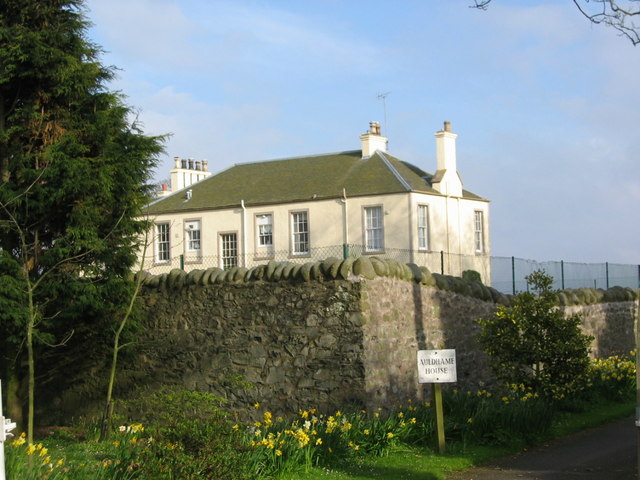
Auldhame & Scoughall

Auldhame and Scoughall are hamlets in East Lothian, Scotland. They are close to the town of North Berwick and the village of Whitekirk, and are approximately...

Seacliff

Seacliff comprises a beach, an estate and a harbour. It lies 4 miles (6 kilometres) east of North Berwick, East Lothian, Scotland. == History == The beach...

Nearby Amenities

Located within 500m of 56.024485,-2.650115
Whitekirk
Place: hamlet
Wikidata: Q7996117
Wikipedia: en:Whitekirk and Tyninghame
Lat/Long: 56.0247292/-2.6504322
Bus Stop
Whitekirk
Naptan AtcoCode: 627007030060
Naptan Bearing: N
Naptan CommonName: Whitekirk
Naptan Indicator: south of Kirk
Naptan NaptanCode: 58234296
Naptan Street: Binning Wood Road
Shelter: no
Source: naptan_import
Lat/Long: 56.0240925/-2.6486571
Bus Stop
Whitekirk
Naptan AtcoCode: 627007040060
Naptan Bearing: S
Naptan CommonName: Whitekirk
Naptan Indicator: south of Kirk
Naptan NaptanCode: 58234328
Naptan Street: Binning Wood Road
Shelter: no
Source: naptan_import
Lat/Long: 56.024139/-2.6485475
Post Box
Operator: Royal Mail
Post Box Mounting: pier
Post Box Type: lamp
Ref: EH42 223
Lat/Long: 56.0251771/-2.6516488
Whitekirk Hill
Ele: 74
Man Made: survey_point
Natural: peak
Ref: S7186
Source: survey
Type: pillar
Lat/Long: 56.0281322/-2.6530188
Addr City: Whitekirk
Addr Housename: Jasmine Cottage
Addr Housenumber: 3
Addr Street: Whitekirk Cottage
Lat/Long: 56.0251272/-2.6515892
Public Bookcase
Booth: K6
Disused Amenity: telephone
Man Made: telephone_box
Public Bookcase Type: phone_box
Lat/Long: 56.0244771/-2.6502542
Power: pole
Lat/Long: 56.0253524/-2.657708
Power: pole
Lat/Long: 56.0255376/-2.6561529
Power: pole
Lat/Long: 56.0279991/-2.6477449
Power: pole
Lat/Long: 56.0272173/-2.647995
Power: pole
Lat/Long: 56.0264592/-2.6482794
Power: pole
Lat/Long: 56.025552/-2.6485989
Power: pole
Lat/Long: 56.0250947/-2.6500386
Power: pole
Lat/Long: 56.0262881/-2.6496907
Power: pole
Lat/Long: 56.0261047/-2.6513404
Power: pole
Lat/Long: 56.025909/-2.6530033
Power: pole
Lat/Long: 56.0257354/-2.6545721
The data included in this document is from www.openstreetmap.org. The data is made available under ODbL.

Have you been to Whitekirk?

Leave your review of Whitekirk below (or comments, questions and feedback).