Whitehall Common
Settlement in Monmouthshire
Wales
Whitehall Common

Whitehall Common is a charming rural area located in Monmouthshire, Wales. Nestled amidst the stunning landscapes of the Welsh countryside, this picturesque village offers a peaceful and idyllic environment for its residents and visitors alike.
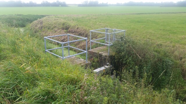
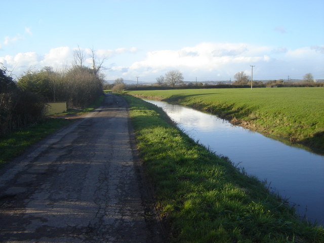
The common is characterized by its vast expanses of lush green fields, scattered with a variety of trees and wildflowers. It is a popular spot for nature enthusiasts and offers ample opportunities for outdoor activities such as hiking, picnicking, and birdwatching. The surrounding countryside provides breathtaking views of rolling hills, meandering rivers, and distant mountains, making it a haven for photographers and artists.
The village itself is small but welcoming, with a close-knit community that takes pride in its rural heritage. The local architecture reflects the area’s history, with charming cottages and farmhouses dotting the landscape. The community is known for its warm hospitality and strong sense of community spirit, organizing various events and festivals throughout the year.
Whitehall Common is also conveniently located near several notable attractions. The nearby town of Monmouth offers a range of amenities, including shops, restaurants, and historical sites such as Monmouth Castle and the Nelson Garden. The beautiful Wye Valley and the renowned Forest of Dean are also within easy reach, providing ample opportunities for further exploration and outdoor pursuits.
In conclusion, Whitehall Common is a tranquil and picturesque village in Monmouthshire, Wales, offering a perfect retreat for those seeking a peaceful countryside getaway. With its natural beauty, friendly community, and proximity to notable attractions, it is a hidden gem worth exploring.
If you have any feedback on the listing, please let us know in the comments section below.
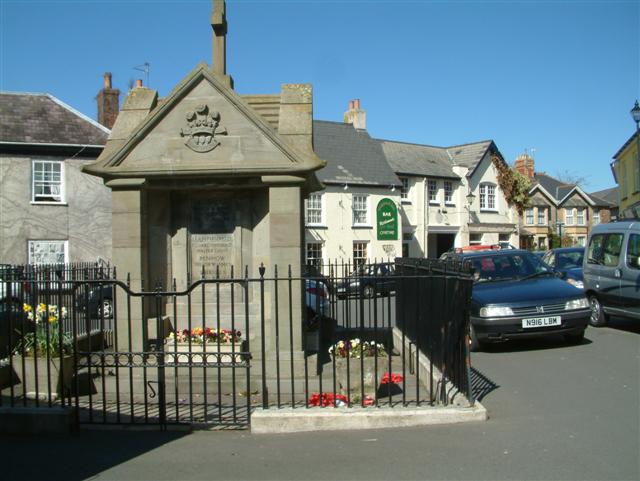
Whitehall Common Images
Images are sourced within 2km of 51.569975/-2.8238119 or Grid Reference ST4386. Thanks to Geograph Open Source API. All images are credited.


Whitehall Common is located at Grid Ref: ST4386 (Lat: 51.569975, Lng: -2.8238119)
Unitary Authority: Monmouthshire
Police Authority: Gwent
What 3 Words
///narrating.tissue.pumpkin. Near Undy, Monmouthshire
Nearby Locations
Related Wikis
Caldicot and Wentloog Levels
The Caldicot and Wentloog Levels are two areas of low-lying estuarine alluvial wetland and intertidal mudflats adjoining the north bank of the Severn Estuary...

Magor Marsh
Magor Marsh is a 36-hectare (90-acre) wetland reserve, located on the Welsh side of the Severn Estuary. It is managed by the Gwent Wildlife Trust. It has...

Magor with Undy
Magor with Undy is a community on the coast of the Severn Estuary in Monmouthshire, Wales. It includes the villages of Magor and Undy.The Magor with Undy...
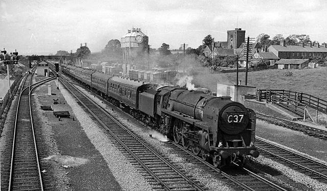
Magor railway station
Magor railway station is a former station serving Magor, Monmouthshire, east of the city of Newport and west of Caldicot. It was opened as a broad gauge...

St Mary's Church, Magor
The Church of St Mary stands in the centre of the village of Magor, Monmouthshire, Wales. It was designated a Grade I listed building in 1963. The church...
Undy A.F.C.
Undy Athletic Football Club is a Welsh association football club based in the village of Undy, Monmouthshire. The club plays in the Ardal South East league...
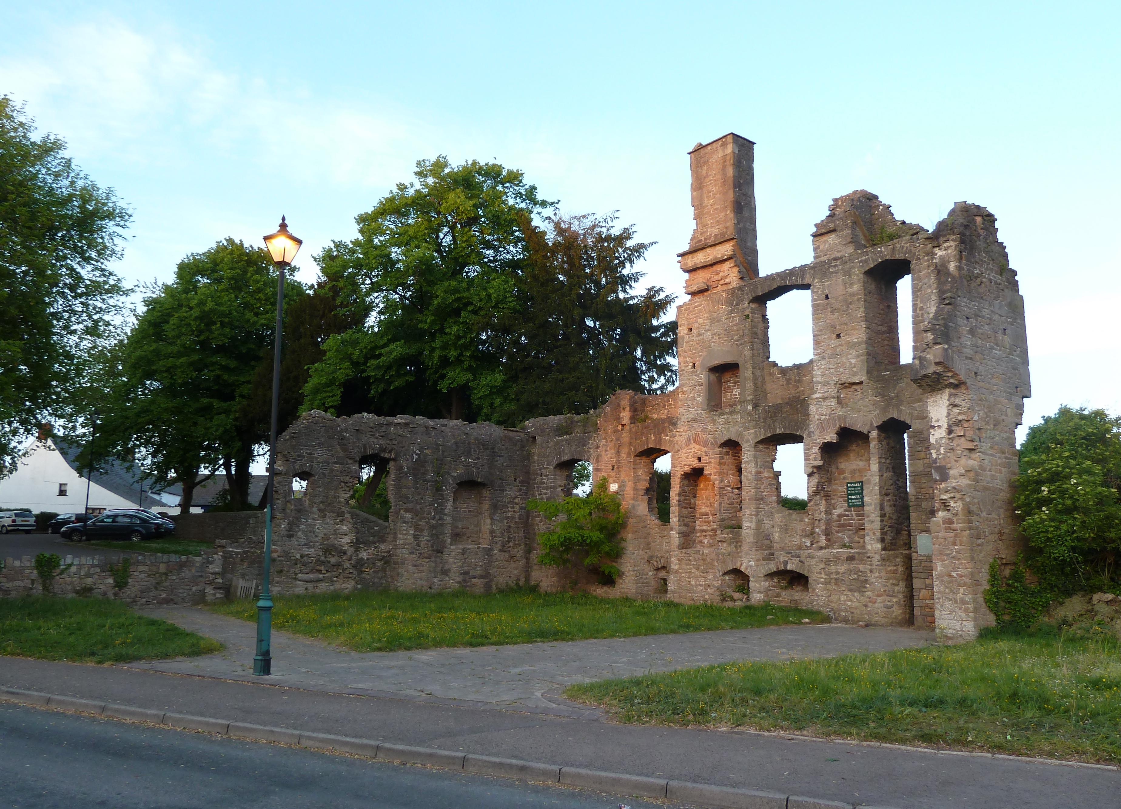
The Procurator's House, Magor
The Procurator's House in Magor, Monmouthshire, Wales, is a large, ruined mansion of the sixteenth-century, standing next to St Mary's Church in the centre...
Magor, Monmouthshire
Magor (English: ; Welsh: Magwyr) is a large village in Monmouthshire, south east Wales, about 9 miles (14 km) west of Chepstow and about 9 miles (14 km...
Nearby Amenities
Located within 500m of 51.569975,-2.8238119Have you been to Whitehall Common?
Leave your review of Whitehall Common below (or comments, questions and feedback).