Bridewell Common
Downs, Moorland in Monmouthshire
Wales
Bridewell Common

Bridewell Common, located in Monmouthshire, is a picturesque area characterized by its rolling downs and expansive moorland. Covering a vast expanse of approximately 500 acres, this natural landscape offers a serene escape for nature enthusiasts and visitors seeking tranquility.
The downs of Bridewell Common are gently sloping hills covered in lush green grasses, interspersed with scattered trees and shrubs. These open spaces provide ample opportunity for outdoor activities such as walking, jogging, and picnicking. The panoramic views from the downs are truly breathtaking, with the surrounding countryside stretching out as far as the eye can see.
The moorland of Bridewell Common offers a stark contrast to the downs, with its rugged and wild terrain. Here, visitors can explore the untamed beauty of the heather-covered hills and rocky outcrops. The moorland is also home to a diverse range of flora and fauna, including rare species such as the black grouse and the curlew. Birdwatchers will be delighted by the variety of avian life that can be spotted in this area.
Bridewell Common is a haven for wildlife, providing a habitat for numerous species. It is a designated Site of Special Scientific Interest (SSSI) due to its ecological significance. Visitors may encounter rabbits, badgers, and even the occasional deer while exploring the area.
Overall, Bridewell Common in Monmouthshire offers a tranquil and captivating natural environment, where visitors can immerse themselves in the beauty of the downs and moorland, while also appreciating the rich diversity of wildlife that calls this area home.
If you have any feedback on the listing, please let us know in the comments section below.
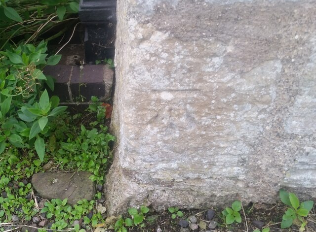
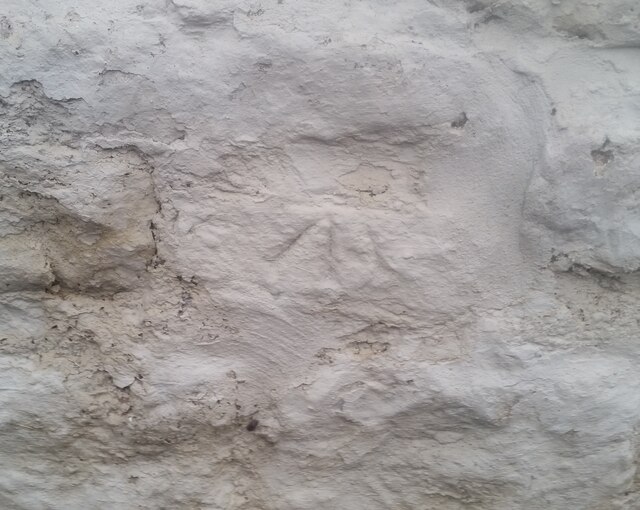
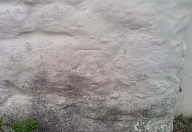
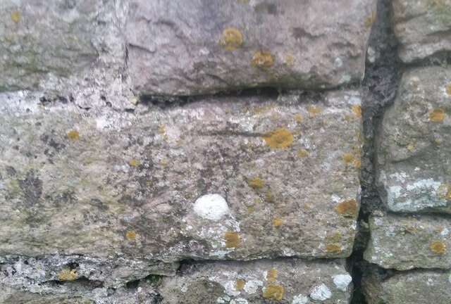
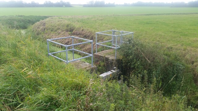
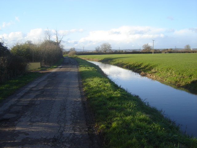
Bridewell Common Images
Images are sourced within 2km of 51.574607/-2.8185421 or Grid Reference ST4386. Thanks to Geograph Open Source API. All images are credited.


Bridewell Common is located at Grid Ref: ST4386 (Lat: 51.574607, Lng: -2.8185421)
Unitary Authority: Monmouthshire
Police Authority: Gwent
What 3 Words
///pounces.committee.family. Near Undy, Monmouthshire
Nearby Locations
Related Wikis

Undy A.F.C.
Undy Athletic Football Club is a Welsh association football club based in the village of Undy, Monmouthshire. The club plays in the Ardal South East league...

Magor Marsh
Magor Marsh is a 36-hectare (90-acre) wetland reserve, located on the Welsh side of the Severn Estuary. It is managed by the Gwent Wildlife Trust. It has...
Magor with Undy
Magor with Undy is a community on the coast of the Severn Estuary in Monmouthshire, Wales. It includes the villages of Magor and Undy.The Magor with Undy...
Caldicot and Wentloog Levels
The Caldicot and Wentloog Levels are two areas of low-lying estuarine alluvial wetland and intertidal mudflats adjoining the north bank of the Severn Estuary...
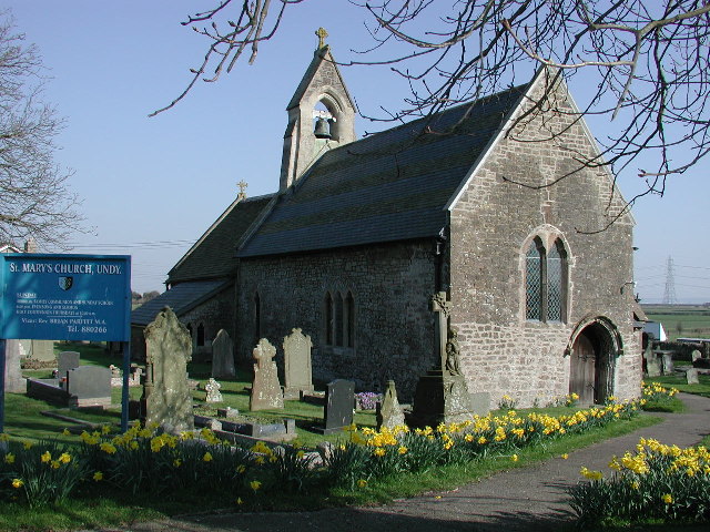
St Mary's Church, Undy
St Mary's Church, Undy is located in the village of Undy, in Monmouthshire, Wales. == History == The church dates to around the twelfth century. The pointed...
Undy
Undy (Welsh: Gwndy) is a village in Monmouthshire, south east Wales, adjoining the village of Magor with which it forms the community and parish of Magor...
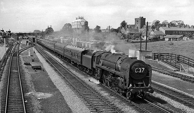
Magor railway station
Magor railway station is a former station serving Magor, Monmouthshire, east of the city of Newport and west of Caldicot. It was opened as a broad gauge...

St Mary's Church, Magor
The Church of St Mary stands in the centre of the village of Magor, Monmouthshire, Wales. It was designated a Grade I listed building in 1963. The church...
Nearby Amenities
Located within 500m of 51.574607,-2.8185421Have you been to Bridewell Common?
Leave your review of Bridewell Common below (or comments, questions and feedback).