Brampford Speke

Settlement in Devon East Devon

England

Brampford Speke

Kitts Lane, Nether Exe The wallbox is dated Edward VII <a href="https://www.geograph.org.uk/photo/4265546">SS9300 : Edward VII letter box</a>
Kitts Lane, Nether Exe Credit: David Smith

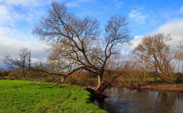
Brampford Speke is a picturesque village nestled in the county of Devon, England. Located approximately four miles north of the city of Exeter, it is situated on the banks of the River Exe, offering stunning views of the surrounding countryside.

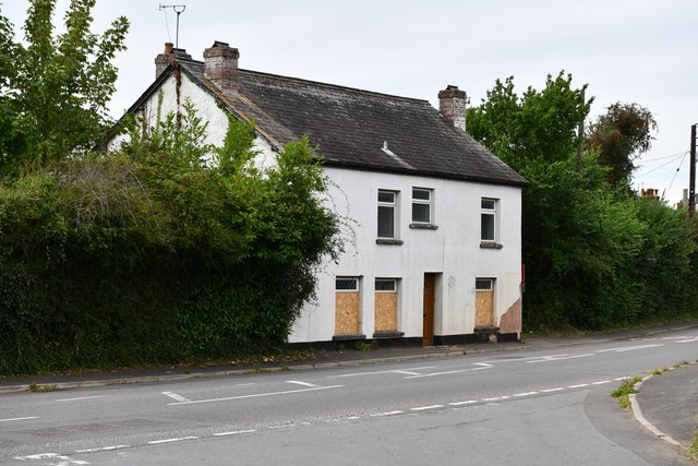
The village is known for its charming thatched cottages, historic buildings, and tranquil atmosphere. It exudes a sense of traditional English countryside living, with its narrow lanes and well-tended gardens. Brampford Speke is home to a close-knit community that takes pride in preserving its rich heritage.

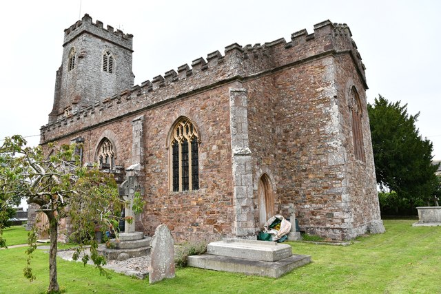
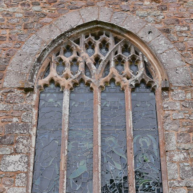
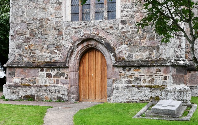
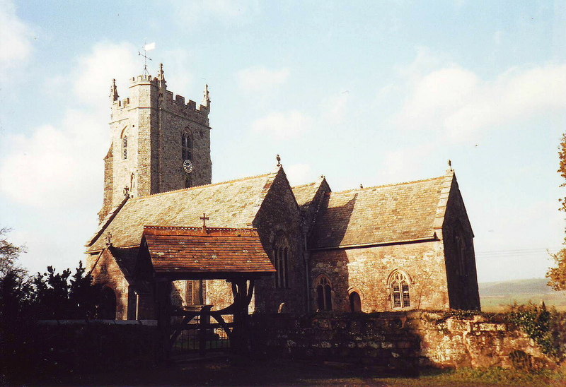
One of the notable landmarks in the village is the Church of St. Peter, a beautiful medieval building dating back to the 13th century. Its architectural features include a Norman font and a stunning stained-glass window, making it a popular destination for history enthusiasts.

Nature lovers will find solace in Brampford Speke's natural surroundings. The river provides ample opportunities for boating, fishing, and leisurely walks along the banks. Nearby, the scenic Exe Valley Walk offers breathtaking views of the countryside, making it a haven for hikers and nature enthusiasts.

The village also has a thriving social scene, with a local pub, The Lazy Toad, serving as a popular gathering spot for residents and visitors alike. It offers a warm and friendly atmosphere, serving delicious meals and locally brewed ales.

Overall, Brampford Speke offers a tranquil retreat from the bustle of city life, with its idyllic setting, rich history, and strong sense of community. It is a hidden gem in the heart of Devon, providing a quintessentially English experience for those who visit.

If you have any feedback on the listing, please let us know in the comments section below.

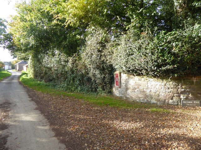
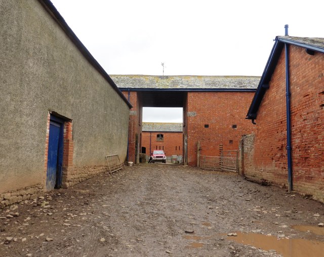
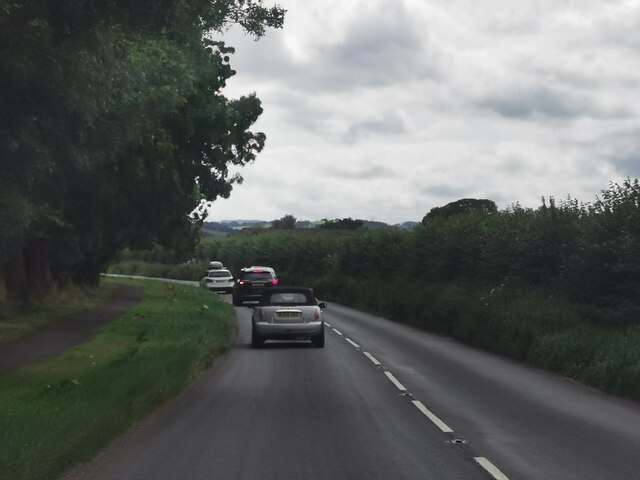
Brampford Speke Images

Images are sourced within 2km of 50.775757/-3.524515 or Grid Reference SX9298. Thanks to Geograph Open Source API. All images are credited.

Kitts Lane, Nether Exe The wallbox is dated Edward VII <a href="https://www.geograph.org.uk/photo/4265546">SS9300 : Edward VII letter box</a>
Kitts Lane, Nether Exe
The wallbox is dated Edward VII SS9300 : Edward VII letter box
Farmyard at Netherexe Barton
Three-limb Oak on Thorverton-Upton Pyne Road Now reduced to only 2 limbs. This photo faces East with the small road taking you to Brampford Speke and the left bend to Thorverton, 1 mile away.
Three-limb Oak on Thorverton-Upton Pyne Road
Now reduced to only 2 limbs. This photo faces East with the small road taking you to Brampford Speke and the left bend to Thorverton, 1 mile away.
Nether Exe: east to Killerton Park Seen from the Thorverton-Brampford Speke road, south of Yellowford, on the west bank of the Exe
Nether Exe: east to Killerton Park
Seen from the Thorverton-Brampford Speke road, south of Yellowford, on the west bank of the Exe
Making hay at Nether Exe
Track along a myriad gridline The track follows the gridline between the SX and SS myriads. The camera is probably just to the south of the gridline; the sign indicating Nether Exe Footpath 1 to the right, through a field of maize, is just inside <a href="https://www.geograph.org.uk/gridref/SS9300">SS9300</a>.
Track along a myriad gridline
The track follows the gridline between the SX and SS myriads. The camera is probably just to the south of the gridline; the sign indicating Nether Exe Footpath 1 to the right, through a field of maize, is just inside SS9300.
Maize field, Nether Exe A swathe cut through a field of maize for Nether Exe Footpath 1, heading up the Exe flood plain.
Maize field, Nether Exe
A swathe cut through a field of maize for Nether Exe Footpath 1, heading up the Exe flood plain.
Pool, Exe flood plain I disturbed a heron and what I think was a green sandpiper at this pool on an old course of the river, which now runs beside the belt of trees in the background at the foot of a river cliff.
Pool, Exe flood plain
I disturbed a heron and what I think was a green sandpiper at this pool on an old course of the river, which now runs beside the belt of trees in the background at the foot of a river cliff.
Pool, Exe flood plain A view along the length of <a href="https://www.geograph.org.uk/photo/1980854">SS9300 : Pool, Exe flood plain</a>, from the Exe Valley Way following Nether Exe Footpath 1.
Pool, Exe flood plain
A view along the length of SS9300 : Pool, Exe flood plain, from the Exe Valley Way following Nether Exe Footpath 1.
In Nether Exe This lane through Nether Exe runs almost due east-west along a myriad gridline; this picture is to the north, but the white buildings are to the south of the gridline.
In Nether Exe
This lane through Nether Exe runs almost due east-west along a myriad gridline; this picture is to the north, but the white buildings are to the south of the gridline.
In Nether Exe; farm buildings This forms the east wall of the buildings in <a href="https://www.geograph.org.uk/photo/2278550">SS9300 : In Nether Exe</a>
In Nether Exe; farm buildings
This forms the east wall of the buildings in SS9300 : In Nether Exe
Field near the River Exe at Brampford Speke
Tree on the banks of the River Exe, Brampford Speke
Stoke Canon : A396 Looking along the A396.
Stoke Canon : A396
Looking along the A396.
Stoke Canon, St. Mary Magdalene's Church: South eastern aspect
Stoke Canon: 'Stoke Cottage'
Stoke Canon, St. Mary Magdalene's Church: Window detail
Stoke Canon, St. Mary Magdalene's Church: Tower entrance doorway
Show me another place!

Brampford Speke is located at Grid Ref: SX9298 (Lat: 50.775757, Lng: -3.524515)

Administrative County: Devon

District: East Devon

Police Authority: Devon and Cornwall

What 3 Words

///supposing.glass.liners. Near Silverton, Devon

Related Wikis

Brampford Speke

Brampford Speke ( BRAM-fərdz-beek) is a small village in Devon, 4 miles (6 km) to the north of Exeter. The population is 419. It is located on red sandstone...

River Culm

The River Culm flows through the Devon Redlands in Devon, England and is the longest tributary of the River Exe. It rises in the Blackdown Hills at a spring...

Berrysbridge

Berrysbridge is a village in Devon, England. == External links == Media related to Berrysbridge at Wikimedia Commons

Upton Pyne

Upton Pyne is a parish and village in Devon, England. The parish lies just north west of Exeter, mainly between the River Exe and River Creedy. The village...

Nearby Amenities

Located within 500m of 50.775757,-3.524515
Brampford Speke
Created By: Potlatch 0.5d
Place: village
Source: npe
Lat/Long: 50.7766/-3.524283
Barrier: kissing_gate
Lat/Long: 50.7747441/-3.5186356
Barrier: kissing_gate
Lat/Long: 50.7758737/-3.5199592
Post Box
Post Box Type: pillar
Royal Cypher: GR
Royal Cypher Wikidata: Q33102273
Lat/Long: 50.7759045/-3.5245776
Telephone
Booth: K6
Covered: booth
Listed Status: Grade II
Lat/Long: 50.775959/-3.5245824
Brampford Speke
Historic Railway: halt
Railway: site
Lat/Long: 50.7776448/-3.5214711
Barrier: kissing_gate
Lat/Long: 50.778994/-3.5270914
Place Of Worship
Baptist Chapel
Denomination: baptist
Religion: christian
Lat/Long: 50.7769172/-3.5242242
Post Box
Collection Times: Mo-Fr 09:00, Sa 07:00
Post Box Type: wall
Ref: EX5 67
Royal Cypher: VR
Royal Cypher Wikidata: Q33102356
Lat/Long: 50.7727998/-3.5238373
Barrier: kissing_gate
Lat/Long: 50.7751108/-3.5302763
Bench
Backrest: yes
Check Date: 2021-05-29
Lat/Long: 50.7722247/-3.523912
Bench
Lat/Long: 50.7734172/-3.5235364
Brand: National Grid
Brand Wikidata: Q1465461
Material: wood
Operator: National Grid Electricity Distribution
Operator Old: Western Power Distribution
Operator Wikidata: Q7988183
Owner: National Grid Electricity Distribution (South West) Plc
Owner Wikidata: Q114397866
Power: pole
Lat/Long: 50.7714164/-3.5236645
Power: pole
Lat/Long: 50.7714419/-3.5255277
Turning Circle
Lat/Long: 50.7775151/-3.526261
Generator Method: photovoltaic
Generator Output Electricity: yes
Generator Source: solar
Generator Type: solar_photovoltaic_panel
Location: roof
Power: generator
Lat/Long: 50.7755904/-3.5277314
Generator Method: photovoltaic
Generator Output Electricity: yes
Generator Source: solar
Generator Type: solar_photovoltaic_panel
Location: roof
Power: generator
Lat/Long: 50.7736606/-3.5232199
Generator Method: photovoltaic
Generator Output Electricity: yes
Generator Source: solar
Generator Type: solar_photovoltaic_panel
Location: roof
Power: generator
Lat/Long: 50.772078/-3.5240192
Generator Method: photovoltaic
Generator Output Electricity: yes
Generator Source: solar
Generator Type: solar_photovoltaic_panel
Location: roof
Power: generator
Lat/Long: 50.7718405/-3.5256741
Generator Method: photovoltaic
Generator Output Electricity: yes
Generator Source: solar
Generator Type: solar_photovoltaic_panel
Location: roof
Power: generator
Lat/Long: 50.7718439/-3.5257519
Advertising: board
Lat/Long: 50.7758576/-3.5245857
The data included in this document is from www.openstreetmap.org. The data is made available under ODbL.

Have you been to Brampford Speke?

Leave your review of Brampford Speke below (or comments, questions and feedback).