Whitecliff
Settlement in Gloucestershire Forest of Dean
England
Whitecliff
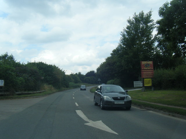
Whitecliff is a picturesque village located in the county of Gloucestershire, England. Situated on the western edge of the Cotswolds, it offers stunning views of the surrounding countryside and is renowned for its natural beauty. The village is nestled along the banks of the River Severn, which adds to its charm.
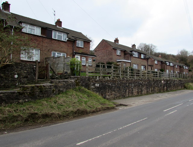
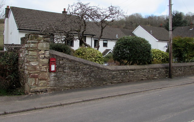
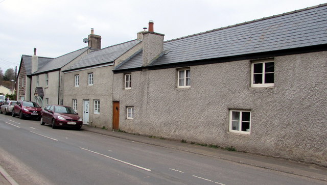
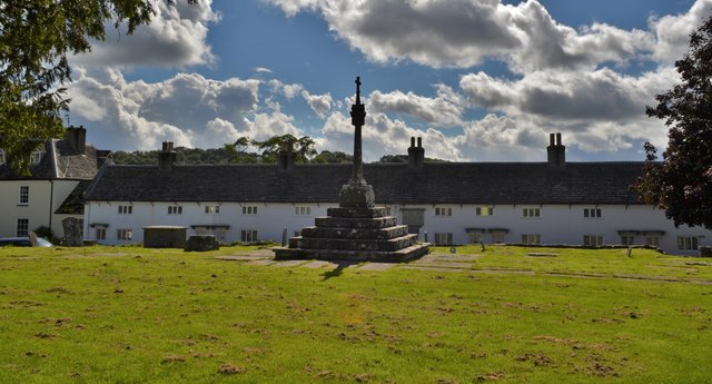
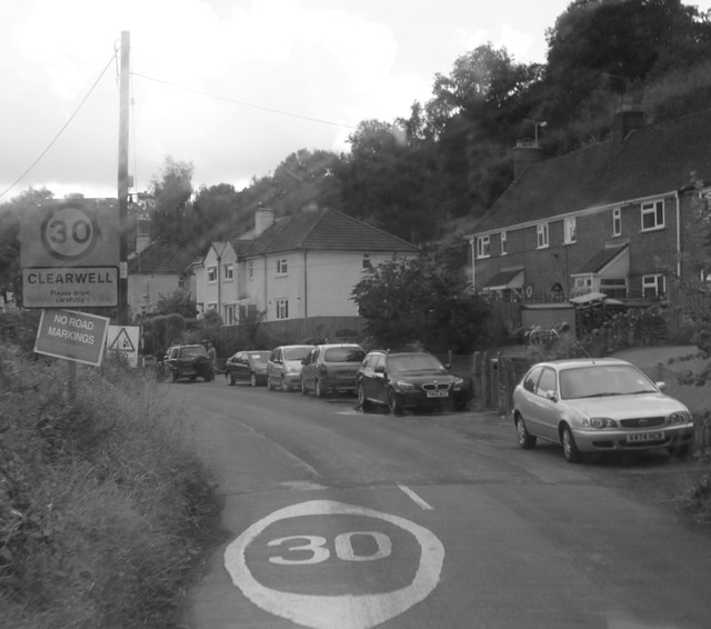
Whitecliff is a small community with a population of approximately 500 residents. The village is known for its peaceful and idyllic atmosphere, making it a popular destination for those seeking a tranquil escape from the bustling city life. The local architecture is predominantly traditional, with many charming cottages and historic buildings dotting the landscape.
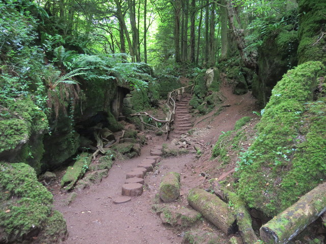
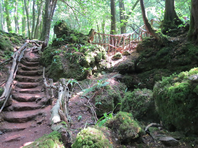
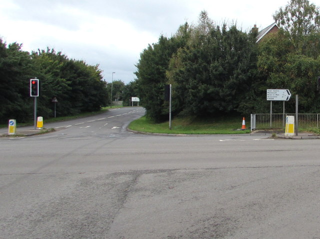
One of the village's main attractions is Whitecliff Quarry, a former limestone quarry that has been transformed into a nature reserve. The quarry is a haven for wildlife and offers a variety of walking trails for nature enthusiasts. Visitors can explore the quarry's unique rock formations and enjoy panoramic views from the top.
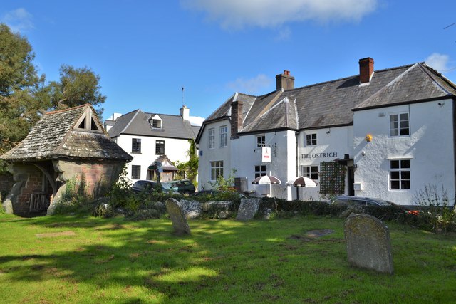
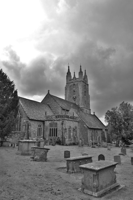
Whitecliff also boasts a well-preserved medieval church, St. Peter's Church, which dates back to the 12th century. The church is an architectural gem and serves as a reminder of the village's long history. Additionally, the village has a community center, a small primary school, and a local pub that serves as a gathering place for residents and visitors alike.
Overall, Whitecliff is a charming village that offers a perfect blend of natural beauty, history, and tranquility. Whether it's exploring the quarry, taking leisurely strolls along the river, or simply enjoying the peaceful atmosphere, Whitecliff is a hidden gem in Gloucestershire.
If you have any feedback on the listing, please let us know in the comments section below.
Whitecliff Images
Images are sourced within 2km of 51.788188/-2.629188 or Grid Reference SO5610. Thanks to Geograph Open Source API. All images are credited.


Whitecliff is located at Grid Ref: SO5610 (Lat: 51.788188, Lng: -2.629188)
Administrative County: Gloucestershire
District: Forest of Dean
Police Authority: Gloucestershire
What 3 Words
///invest.vaulting.store. Near Coleford, Gloucestershire
Nearby Locations
Related Wikis
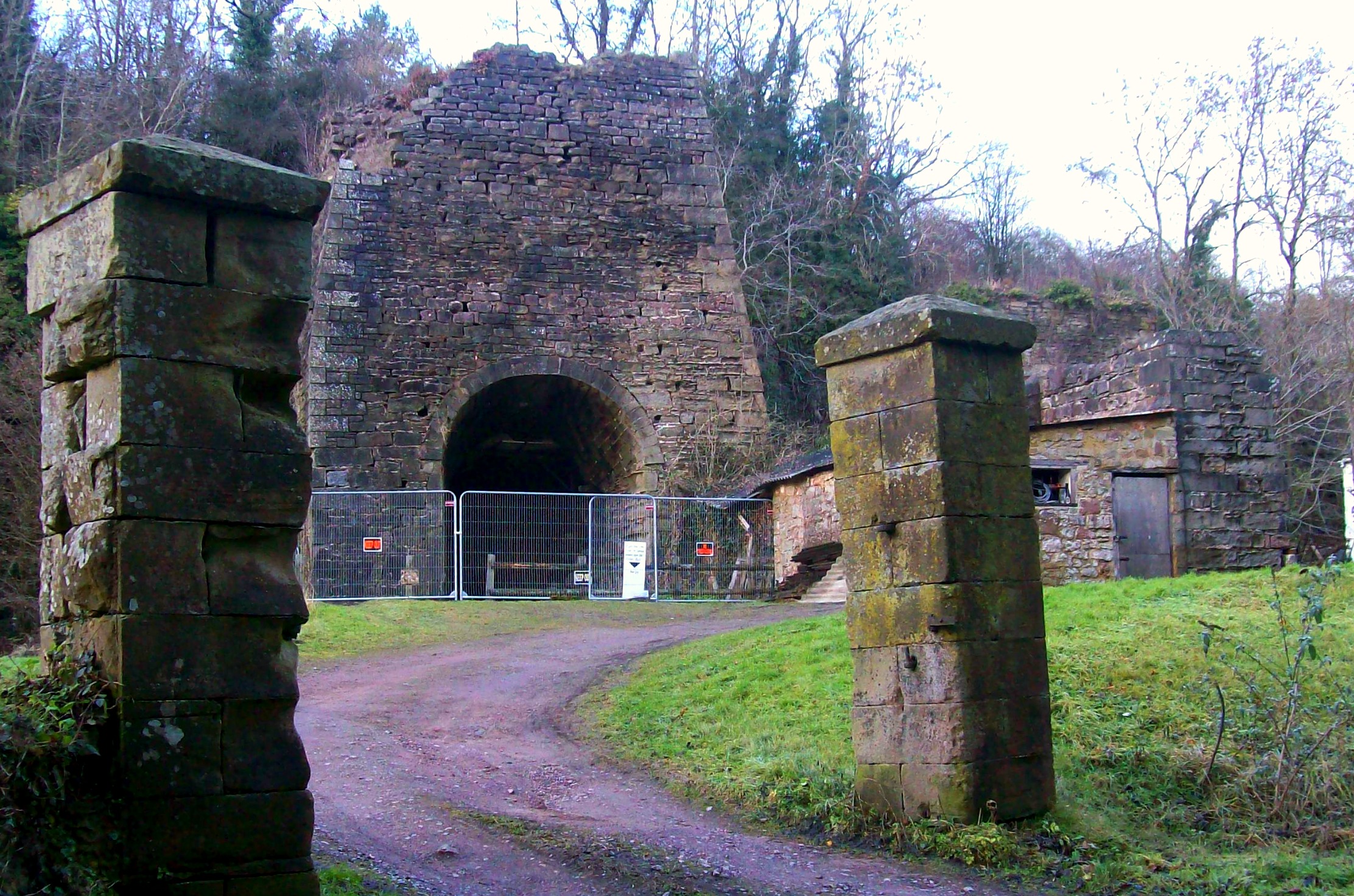
Whitecliff Ironworks
Whitecliff Ironworks, sometimes referred to as Whitecliff Furnace, at Coleford, in the Forest of Dean, Gloucestershire, England, are industrial remains...

Whitecliff Quarry
Whitecliff Quarry was a quarry in the Forest of Dean, Gloucestershire, England. It was served by the Coleford Railway from 1883 to 1917 and the Severn...

Coleford, Gloucestershire
Coleford is a market town in the west of the Forest of Dean, Gloucestershire, England, two miles (3 km) east of the Welsh border and close to the Wye Valley...
Coleford railway station
Coleford railway station served the town of Coleford, Gloucestershire, England, from 1883 to 1917 on the Coleford Railway. == History == The station was...
Coleford railway station (Severn and Wye Railway)
Coleford (Severn and Wye) railway station is one of two former stations that served the town of Coleford, Gloucestershire, England. The station was the...

Coleford Great Western Railway Museum
Coleford Great Western Railway Museum is a railway museum located in Coleford, Gloucestershire, England. The museum was founded in 1988. Based in the former...
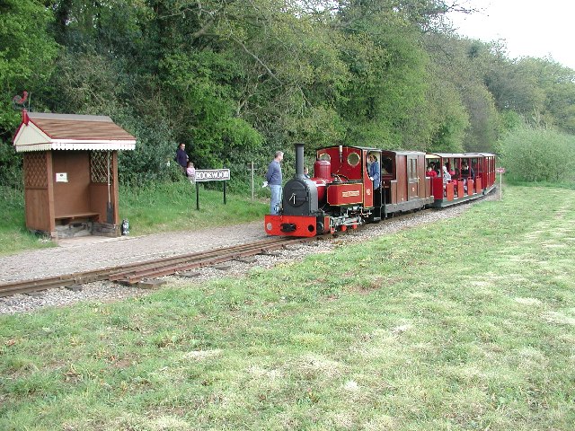
Rookwood railway station
Rookwood railway station is a request stop on the 15 in (381 mm) gauge Perrygrove Railway. The railway was opened in 1996 and is a heritage railway. There...
Newland railway station
Newland railway station, also known as Cherry Orchard railway station, served the village of Newland, Gloucestershire, England, from 1883 to 1917 on the...
Nearby Amenities
Located within 500m of 51.788188,-2.629188Have you been to Whitecliff?
Leave your review of Whitecliff below (or comments, questions and feedback).