Scowles
Settlement in Gloucestershire Forest of Dean
England
Scowles
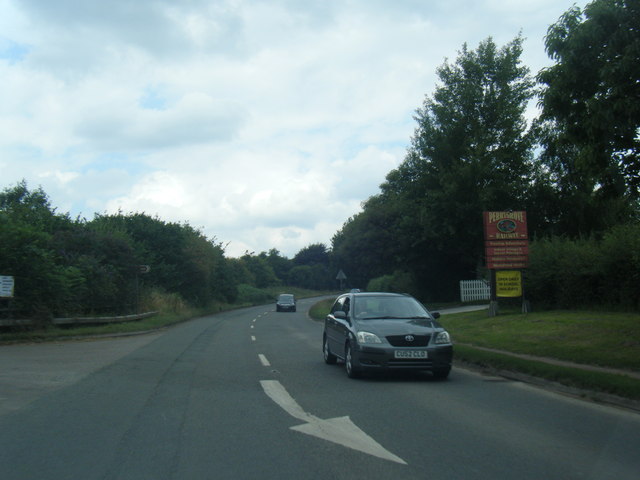
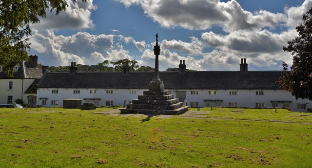
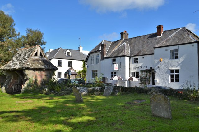
Scowles is a small village located in the Forest of Dean district of Gloucestershire, England. Nestled within the beautiful Wye Valley, it is situated about 4 miles northeast of the town of Coleford. Scowles is known for its rich industrial history and stunning natural landscapes.
One of the prominent features of Scowles is its unique geological formations, known as scowles. These are ancient cave systems formed by the extraction of iron ore. The caves are characterized by their intricate network of tunnels and chambers, which attract geologists and cave enthusiasts from all over the world.
The village itself is home to a small population, with a close-knit community that takes great pride in its heritage. Scowles is surrounded by lush greenery, with dense woodlands and rolling hills providing a picturesque backdrop. The area is known for its diverse wildlife, making it a popular spot for birdwatching and nature walks.
Scowles offers a range of outdoor activities for visitors and locals alike. The nearby Wye Valley provides opportunities for hiking, cycling, and horseback riding, with numerous trails to explore. For those interested in history, the Clearwell Caves, a former iron ore mine, offer a fascinating glimpse into the area's industrial past.
Despite its small size, Scowles is well-connected to neighboring towns and cities. The village has a few amenities, including a local pub and a village hall that hosts community events. Scowles is a charming and peaceful destination, offering a perfect escape for those seeking tranquility and natural beauty.
If you have any feedback on the listing, please let us know in the comments section below.
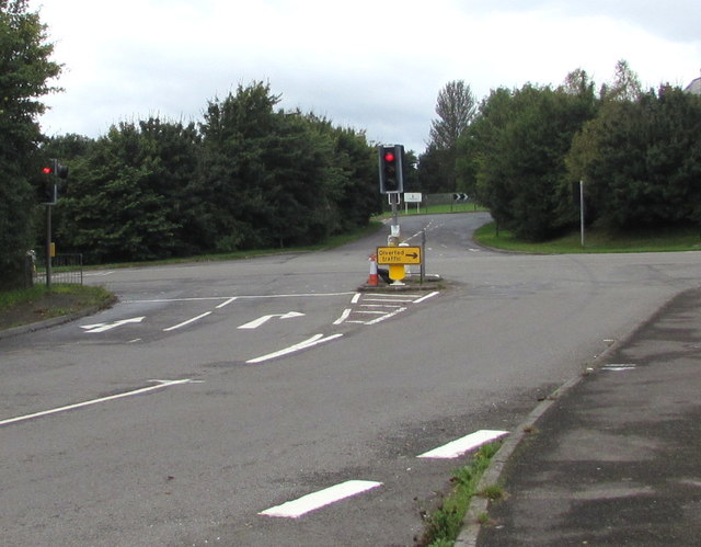
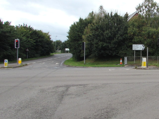
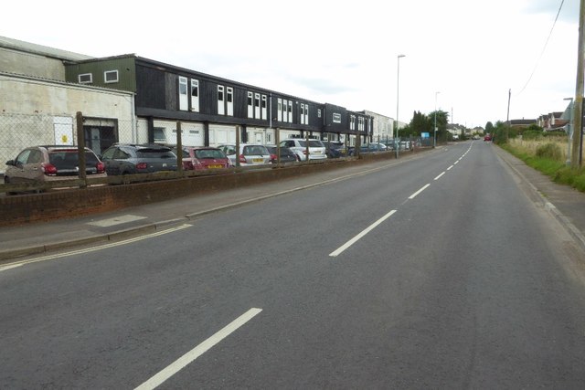
Scowles Images
Images are sourced within 2km of 51.792996/-2.637954 or Grid Reference SO5610. Thanks to Geograph Open Source API. All images are credited.


Scowles is located at Grid Ref: SO5610 (Lat: 51.792996, Lng: -2.637954)
Administrative County: Gloucestershire
District: Forest of Dean
Police Authority: Gloucestershire
What 3 Words
///pickles.highlighted.stamp. Near Coleford, Gloucestershire
Nearby Locations
Related Wikis

Whitecliff Quarry
Whitecliff Quarry was a quarry in the Forest of Dean, Gloucestershire, England. It was served by the Coleford Railway from 1883 to 1917 and the Severn...
Newland railway station
Newland railway station, also known as Cherry Orchard railway station, served the village of Newland, Gloucestershire, England, from 1883 to 1917 on the...
Stowfield quarry
Stowfield quarry is a quarry in the Forest of Dean about 2 km south of Staunton, near Coleford, Gloucestershire, England. == References ==

Dingle Wood
Dingle Wood (grid reference SO562115) is a 9.95-hectare (24.6-acre) biological Site of Special Scientific Interest in Gloucestershire, notified in 1972...
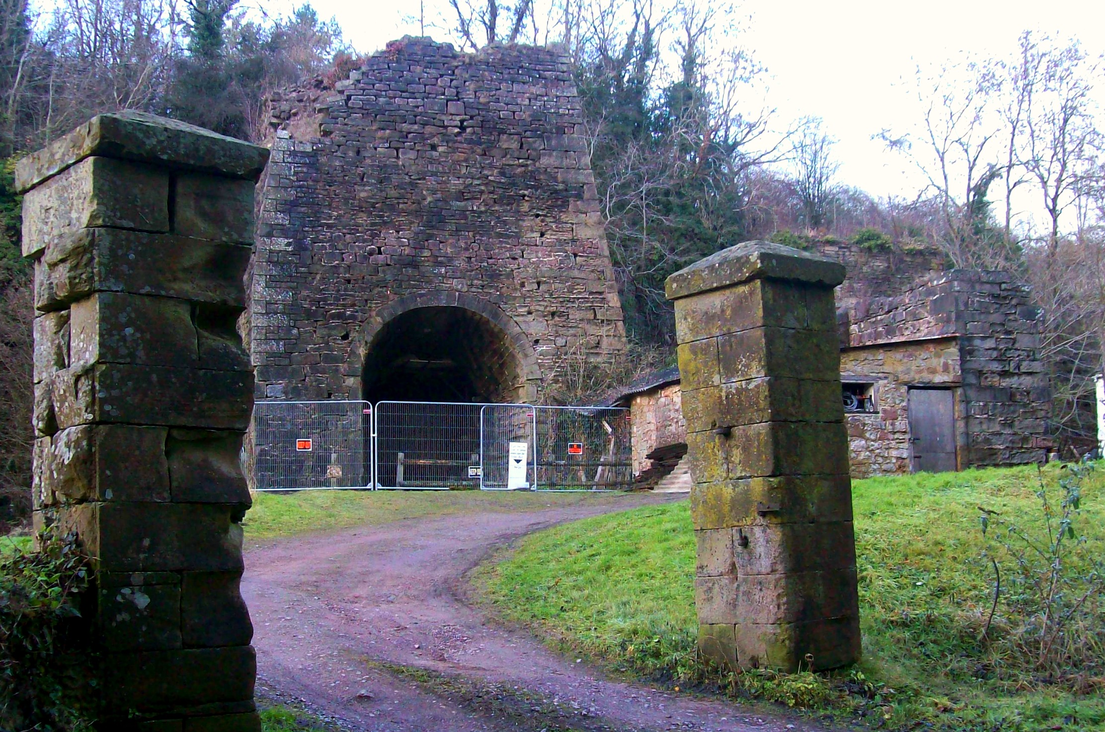
Whitecliff Ironworks
Whitecliff Ironworks, sometimes referred to as Whitecliff Furnace, at Coleford, in the Forest of Dean, Gloucestershire, England, are industrial remains...

Newland, Gloucestershire
Newland is a village and civil parish in the Forest of Dean in Gloucestershire, England. situated on the east side of the River Wye, 3 miles (5 km) south...

Coleford, Gloucestershire
Coleford is a market town in the west of the Forest of Dean, Gloucestershire, England, two miles (3 km) east of the Welsh border and close to the Wye Valley...
Coleford railway station
Coleford railway station served the town of Coleford, Gloucestershire, England, from 1883 to 1917 on the Coleford Railway. == History == The station was...
Nearby Amenities
Located within 500m of 51.792996,-2.637954Have you been to Scowles?
Leave your review of Scowles below (or comments, questions and feedback).