White Hill
Settlement in Yorkshire
England
White Hill
White Hill is a picturesque village located in the county of Yorkshire, England. Situated amidst the rolling hills and lush green landscapes, this idyllic hamlet offers a tranquil retreat for residents and visitors alike. The village is nestled in the heart of the Yorkshire Dales National Park, renowned for its outstanding natural beauty and captivating scenery.
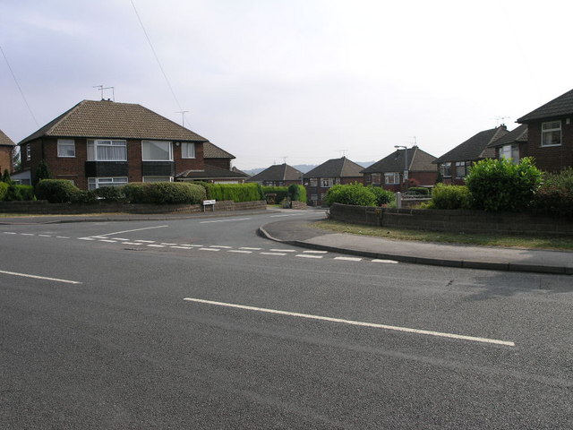
White Hill is characterized by its quaint stone cottages, which exude a traditional charm and reflect the area's rich history. The village is small in size, with a close-knit community that fosters a warm and welcoming atmosphere. The main street is lined with local shops, cafes, and a traditional village pub, serving as the social hub for residents and a popular spot for tourists to immerse themselves in the local culture.
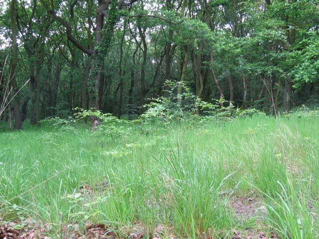
Surrounded by vast expanses of open countryside, White Hill offers an abundance of outdoor recreational activities. Hiking and cycling trails crisscross the area, allowing visitors to explore the breathtaking landscapes and discover hidden gems along the way. The village is also in close proximity to stunning natural landmarks, including the famous White Hill waterfall, which cascades down a series of limestone steps.
White Hill benefits from excellent transport links, making it easily accessible for both residents and day trippers. The nearby market towns of Skipton and Ilkley provide convenient amenities and further opportunities for leisure and shopping. With its unspoiled natural beauty and charming village atmosphere, White Hill truly offers a unique and unforgettable experience for those seeking a peaceful escape in the heart of Yorkshire.
If you have any feedback on the listing, please let us know in the comments section below.
White Hill Images
Images are sourced within 2km of 53.396167/-1.3698483 or Grid Reference SK4289. Thanks to Geograph Open Source API. All images are credited.


White Hill is located at Grid Ref: SK4289 (Lat: 53.396167, Lng: -1.3698483)
Division: West Riding
Unitary Authority: Rotherham
Police Authority: South Yorkshire
What 3 Words
///tape.crisp.entertainer. Near Catcliffe, South Yorkshire
Nearby Locations
Related Wikis

Tinsley Motive Power Depot
Tinsley Motive Power Depot, latterly Tinsley Traction Maintenance Depot (TMD), was a railway depot in Tinsley, South Yorkshire, near Sheffield. Access...
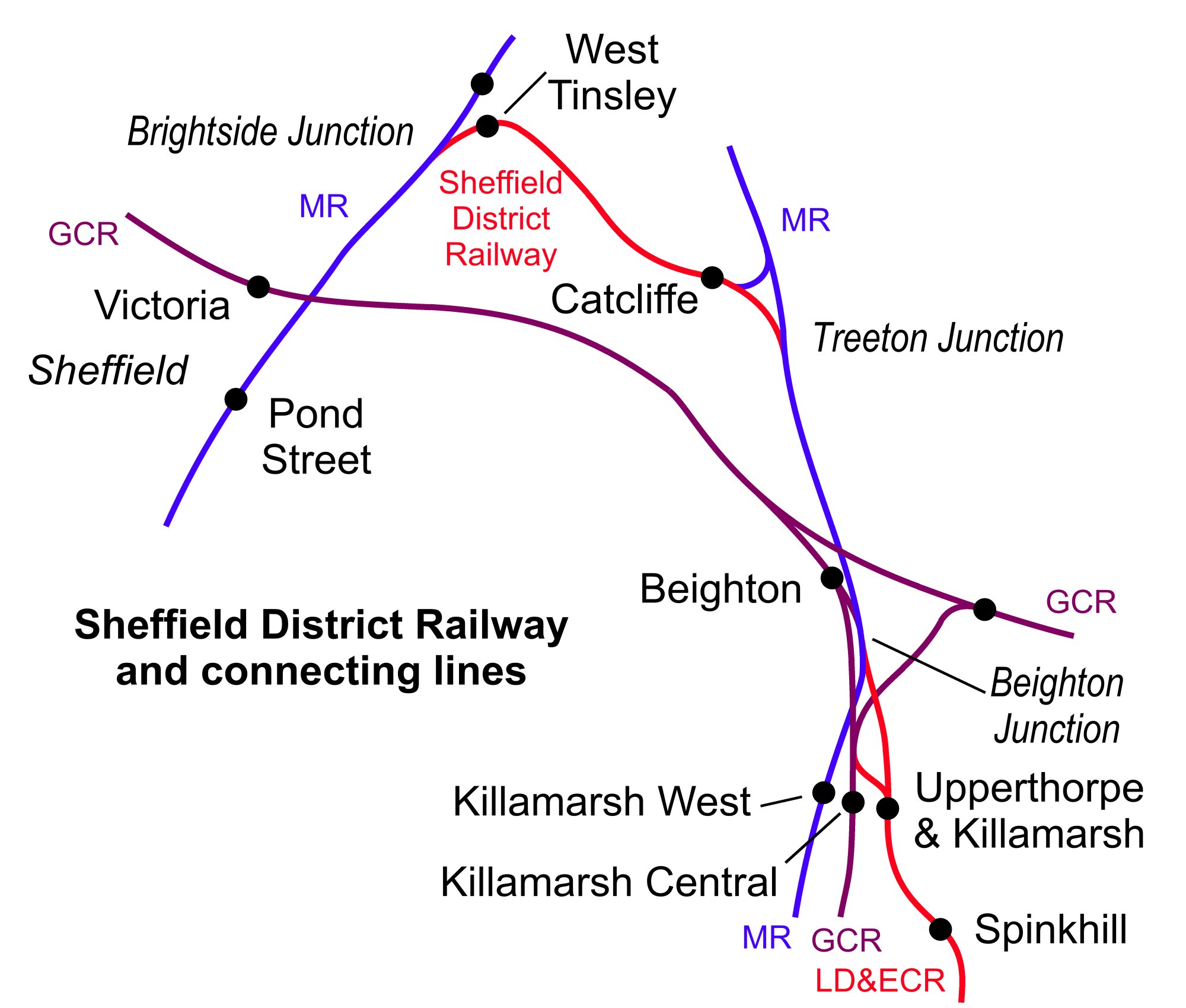
Catcliffe railway station
Catcliffe railway station is a former railway station in the Catcliffe area of Rotherham, South Yorkshire, England. == History == The station was located...
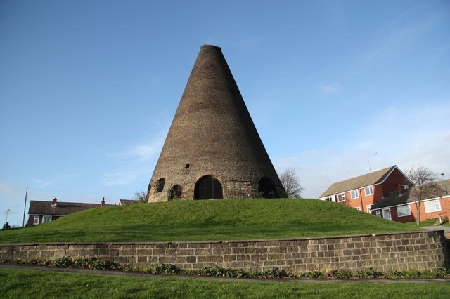
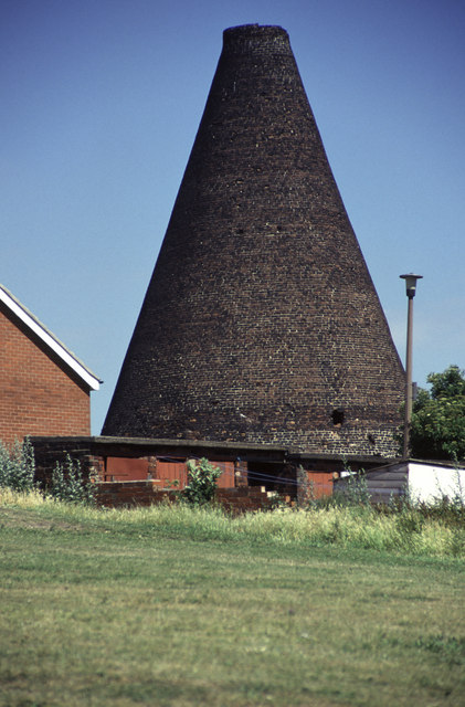
Catcliffe Glass Cone
The Catcliffe Glass Cone is a glass cone in the village of Catcliffe in South Yorkshire, England. It is the oldest surviving structure of its type in Western...

Catcliffe
Catcliffe is a village and civil parish on the north-west bank of the River Rother in South Yorkshire, England. The population of the civil parish at the...
Nearby Amenities
Located within 500m of 53.396167,-1.3698483Have you been to White Hill?
Leave your review of White Hill below (or comments, questions and feedback).