Bramley

Settlement in Derbyshire North East Derbyshire

England

Bramley

View to "The Fox and Hounds", Marsh Lane
View to "The Fox and Hounds", Marsh Lane Credit: Neil Theasby

Bramley is a small village located in Derbyshire, England. Situated approximately 3 miles west of the town of Chesterfield, Bramley is nestled in the picturesque countryside of the county.

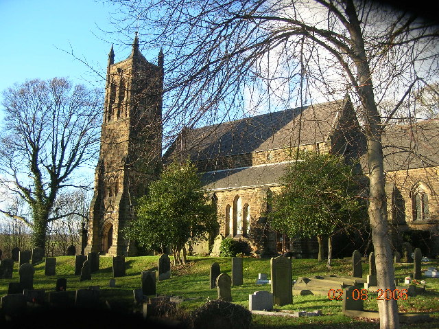
The village has a rich history dating back to the medieval era, with evidence of human settlement in the area as far back as the Domesday Book of 1086. Today, Bramley retains much of its traditional charm, with a mix of old and new buildings lining its streets.

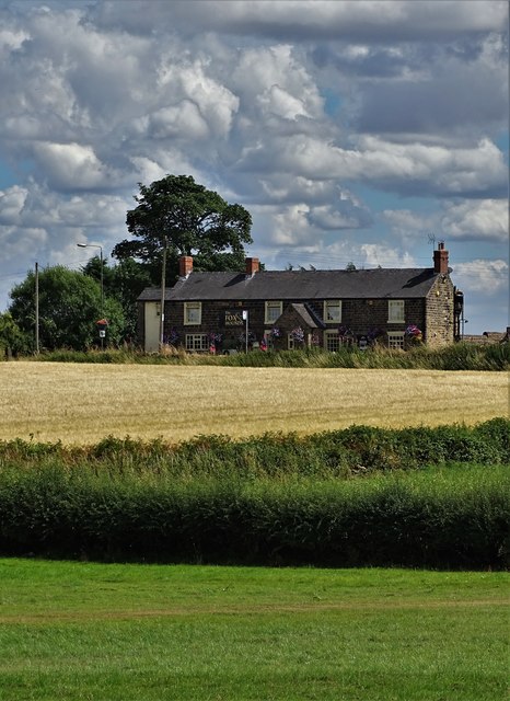
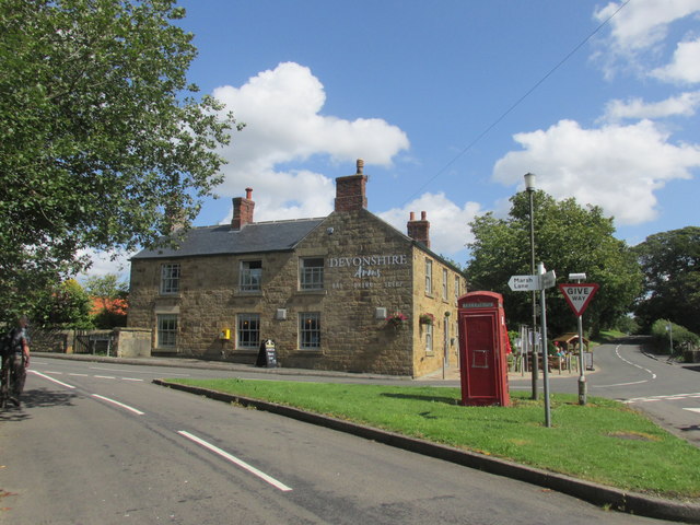
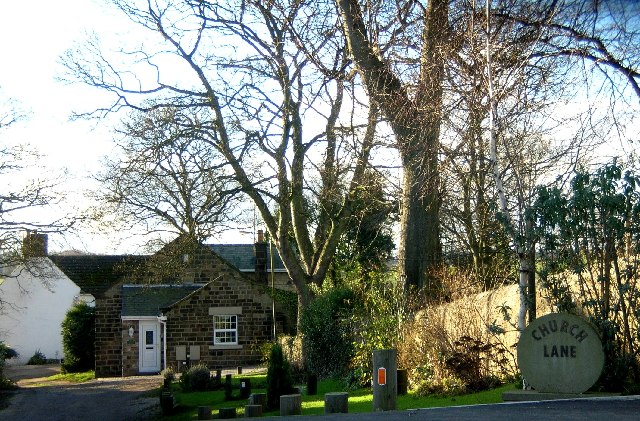
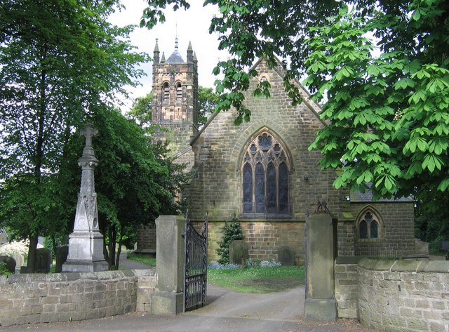
The heart of Bramley is its village green, a focal point for community events and gatherings. The green is surrounded by a variety of amenities, including a local pub, a post office, and a convenience store. The village also has a primary school, providing education for the local children.

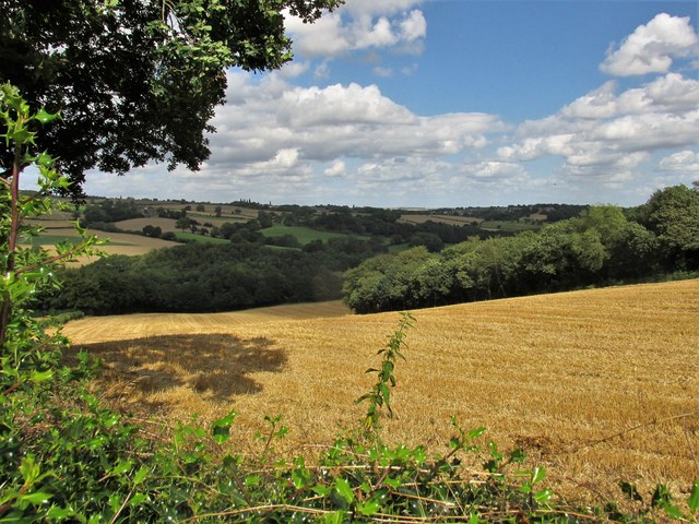
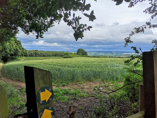
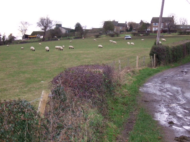
Bramley is surrounded by stunning natural beauty, with rolling green hills and scenic landscapes. The nearby Peak District National Park offers a wealth of outdoor activities, including hiking, cycling, and wildlife spotting.

Transportation to and from Bramley is convenient, with regular bus services connecting the village to Chesterfield and surrounding areas. The nearby M1 motorway provides easy access to major cities such as Sheffield and Nottingham.

Overall, Bramley is a charming village in Derbyshire, offering a peaceful and idyllic setting for its residents. With its historical significance, beautiful surroundings, and close-knit community, Bramley is a hidden gem in the heart of the English countryside.

If you have any feedback on the listing, please let us know in the comments section below.
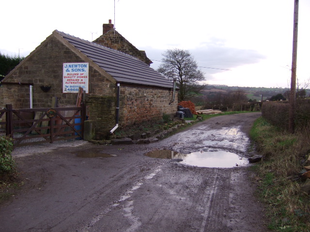
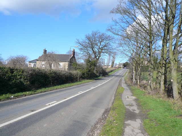
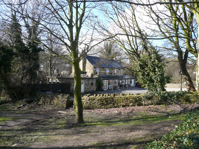
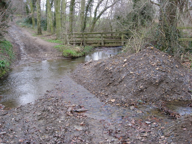
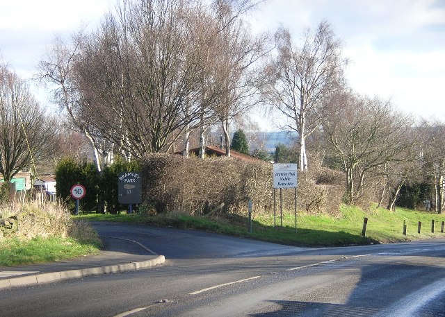
Bramley Images

Images are sourced within 2km of 53.310419/-1.390616 or Grid Reference SK4079. Thanks to Geograph Open Source API. All images are credited.

View to "The Fox and Hounds", Marsh Lane
At Bramley Farm, Bramley near Marsh Lane
Old Village Signpost by the B6052, Chesterfield Road, Eckington village No finial - 1 arm; by the B6052, in parish of Eckington (North East Derbyshire District), Chesterfield Road, South West approach to village.

To be surveyed

Milestone Society National ID: DE_SK4178
Old Village Signpost by the B6052, Chesterfield Road, Eckington village
No finial - 1 arm; by the B6052, in parish of Eckington (North East Derbyshire District), Chesterfield Road, South West approach to village. To be surveyed Milestone Society National ID: DE_SK4178
The Devonshire arms. Middle Hanley.
The Devonshire arms.
Middle Hanley.
The Moss valley. Lovely walking area.
The Moss valley.
Lovely walking area.
Cattle in field at Bramley
View east from Bramley
Ridgeway Church, Near Sheffield.
Ford Dam at Ridgeway, Nr Sheffield.
Church Lane, Ridgeway, Nr Sheffield
St. John's Ridgeway from west The village of Ridgeway has a string sense of identity as evidence their comprehensive website : <span class="nowrap"><a title="http://www.ridgewayvillage.org.uk" rel="nofollow ugc noopener" href="http://www.ridgewayvillage.org.uk">Link</a><img style="margin-left:2px;" alt="External link" title="External link - shift click to open in new window" src="https://s1.geograph.org.uk/img/external.png" width="10" height="10"/></span>
St. John's Ridgeway from west
The village of Ridgeway has a string sense of identity as evidence their comprehensive website : LinkExternal link
Plumbley Lane Farm. Old farm now being renovated.
Plumbley Lane Farm.
Old farm now being renovated.
Barn at  Plumbley. Hay barn at the back of Plumbley lane Farm.
Barn at Plumbley.
Hay barn at the back of Plumbley lane Farm.
Footpath and  track The footpath leads to Twelve Acre Wood, whilst the track continues up to Plumbley.
Footpath and track
The footpath leads to Twelve Acre Wood, whilst the track continues up to Plumbley.
Plumbley. The hamlet of Plumbley
Plumbley.
The hamlet of Plumbley
Sloade Lane - Junction with Ridgeway Moor
Ridgeway Moor - View towards Sloade Lane
Ford - The Bridge Inn
Show me another place!

Bramley is located at Grid Ref: SK4079 (Lat: 53.310419, Lng: -1.390616)

Administrative County: Derbyshire

District: North East Derbyshire

Police Authority: Derbyshire

What 3 Words

///shovels.shave.traded. Near Beighton, South Yorkshire

Related Wikis

Marsh Lane, Derbyshire

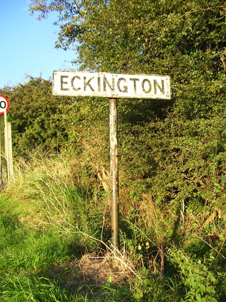
Marsh Lane village is located in the civil parish of Eckington in North-East Derbyshire, England. It is 6 miles north east of Chesterfield. In 2011 the...

Eckington School

Eckington School is a coeducational secondary school and sixth form located in Eckington, Derbyshire in England, next to the B6056 road. It has around...

The Moss

The Moss is a brook in North East Derbyshire, England. When Rother Valley Country Park was built in the 1980s, constructors used water from The Moss to...

Troway

Troway ( ) is a village in North East Derbyshire, England. Population details are included in the civil parish of Eckington.The village is located in the...

Birley Hay

Birley Hay is a hamlet in North East Derbyshire in the county of Derbyshire in England. == Location == Birley Hay lies just south of the South Yorkshire...

Bramley, Derbyshire

Bramley is a village in Derbyshire, England. It is in the civil parish of Eckington.

Plumbley

Plumbley is a hamlet in the City of Sheffield borough, within the county of South Yorkshire in England. == Location == Plumbley consists of a small scattering...

Geerlane

Geerlane is a hamlet in North East Derbyshire, England.The hamlet is located in Moss Valley, by the side of The Moss. It has a farm, called Geerlane Farm...

Nearby Amenities

Located within 500m of 53.310419,-1.390616
Marsh Lane
Is In: Derbyshire, England, UK
Place: village
Lat/Long: 53.3065816/-1.3940962
Speed Camera
Lat/Long: 53.3068571/-1.3943721
Speed Camera
Lat/Long: 53.3080719/-1.3906805
Bus Stop
Bus: yes
Naptan AtcoCode: 1000DMLF7767
Naptan NaptanCode: dbsatwjt
Public Transport: platform
Lat/Long: 53.3087928/-1.3920467
War Memorial
Historic: memorial
Lat/Long: 53.308201/-1.3916862
Barrier: stile
Ele: 151
Steps: 2
Stile: stepover
Lat/Long: 53.3111542/-1.3980125
Ele: 151
Lat/Long: 53.3111446/-1.3979915
Barrier: stile
Steps: 2
Stile: stepover
Lat/Long: 53.3110686/-1.3937625
Passing Place
Lat/Long: 53.311684/-1.3972453
Barrier: stile
Lat/Long: 53.3087331/-1.3955603
Barrier: kissing_gate
Lat/Long: 53.3105367/-1.3842204
Generator Method: photovoltaic
Generator Output Electricity: yes
Generator Source: solar
Generator Type: solar_photovoltaic_panel
Location: roof
Power: generator
Lat/Long: 53.3074681/-1.3957109
Generator Method: photovoltaic
Generator Output Electricity: yes
Generator Source: solar
Generator Type: solar_photovoltaic_panel
Location: roof
Power: generator
Lat/Long: 53.3079848/-1.3903581
Barrier: kissing_gate
Lat/Long: 53.3119867/-1.385299
Barrier: kissing_gate
Lat/Long: 53.3122524/-1.3845848
Barrier: stile
Lat/Long: 53.3089846/-1.3968527
Barrier: stile
Lat/Long: 53.3076892/-1.3929553
Barrier: stile
Lat/Long: 53.3083507/-1.3931901
Barrier: stile
Lat/Long: 53.3081566/-1.3930292
Barrier: stile
Lat/Long: 53.3087928/-1.3954136
Barrier: stile
Lat/Long: 53.3084956/-1.3940303
Bench
Backrest: yes
Lat/Long: 53.3077546/-1.3924068
Barrier: stile
Lat/Long: 53.3083827/-1.3931256
Shelter
Lat/Long: 53.3077831/-1.3923433
Barrier: stile
Lat/Long: 53.3087004/-1.3928916
Bench
Backrest: yes
Lat/Long: 53.308106/-1.392128
The data included in this document is from www.openstreetmap.org. The data is made available under ODbL.

Have you been to Bramley?

Leave your review of Bramley below (or comments, questions and feedback).