Bramley Park

Downs, Moorland in Derbyshire North East Derbyshire

England

Bramley Park

View to "The Fox and Hounds", Marsh Lane
View to "The Fox and Hounds", Marsh Lane Credit: Neil Theasby

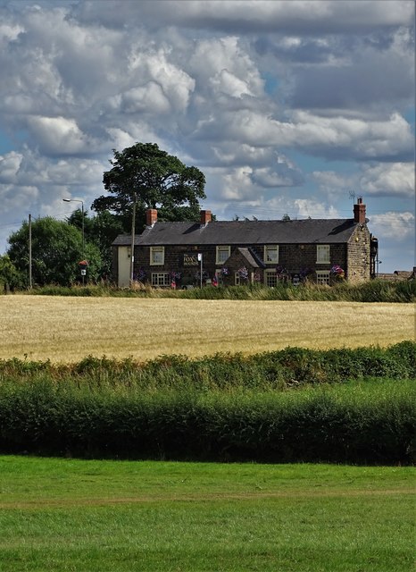
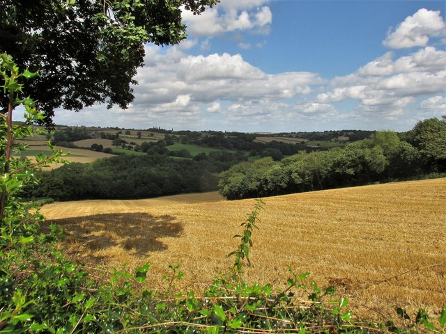
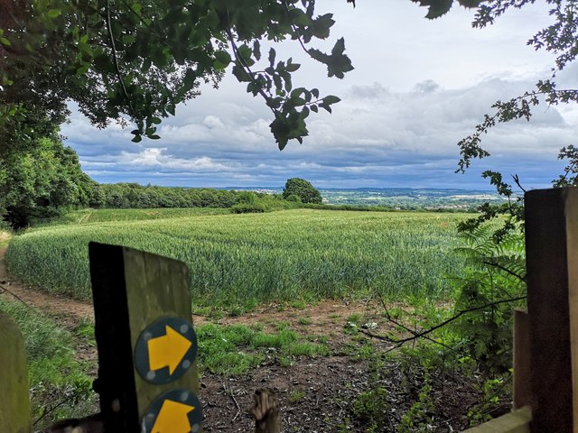
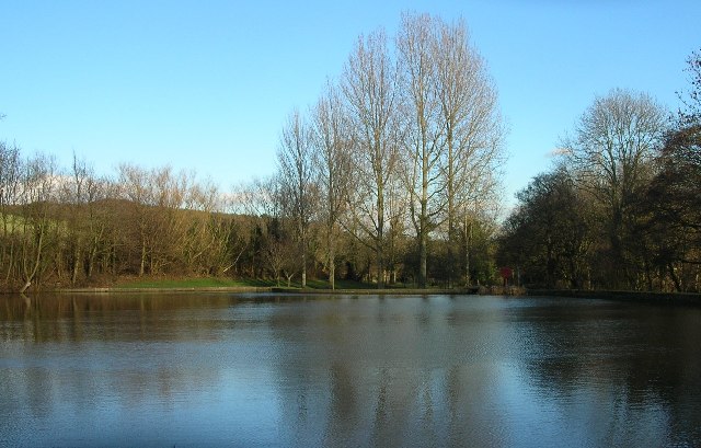
Bramley Park, located in Derbyshire, England, is a picturesque natural park encompassing downs and moorland. Spanning over a vast area, Bramley Park offers visitors a diverse landscape with stunning scenic views and a rich variety of flora and fauna.

The park's downs, characterized by gently rolling hills, provide a tranquil environment for nature enthusiasts and hikers. Visitors can enjoy leisurely walks along well-maintained paths, surrounded by lush green meadows and vibrant wildflowers. The downs also offer panoramic vistas of the surrounding countryside, allowing visitors to appreciate the beauty of Derbyshire.

Adjacent to the downs, Bramley Park's moorland areas add a unique charm to the park. With its rugged terrain and heather-covered slopes, the moorland provides a different experience for those seeking a more challenging hike. The moorland is also home to a range of wildlife, including birds of prey, such as kestrels and buzzards, as well as various species of small mammals and insects.

Bramley Park is equipped with well-placed benches and picnic areas, allowing visitors to relax and soak in the serene ambiance. The park's management ensures that the environment is well-preserved, maintaining the natural beauty of the downs and moorland.

Overall, Bramley Park, with its downs and moorland, offers a delightful escape into nature for individuals and families alike. Its diverse landscape, scenic views, and abundant wildlife make it a popular destination for outdoor enthusiasts, photographers, and nature lovers.

If you have any feedback on the listing, please let us know in the comments section below.
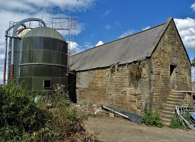
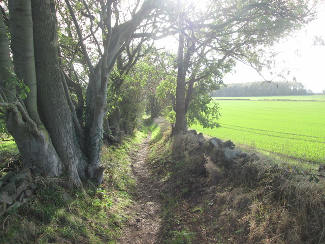
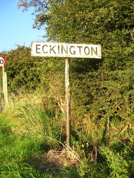
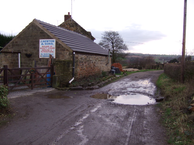
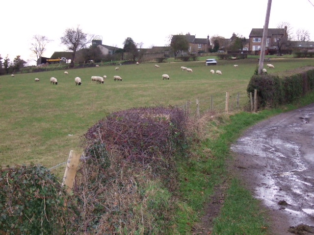
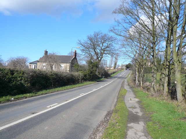
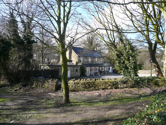
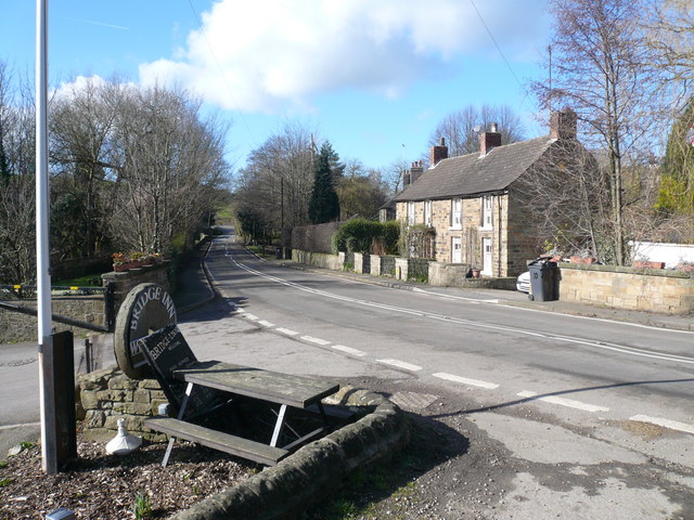
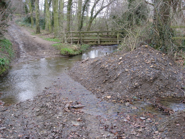
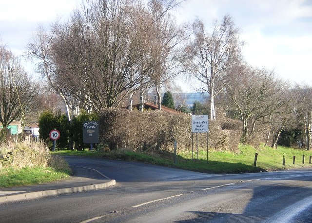
Bramley Park Images

Images are sourced within 2km of 53.308317/-1.388296 or Grid Reference SK4079. Thanks to Geograph Open Source API. All images are credited.

View to "The Fox and Hounds", Marsh Lane
At Bramley Farm, Bramley near Marsh Lane
Old Lane towards Barrow Hill
Old Village Signpost by the B6052, Chesterfield Road, Eckington village No finial - 1 arm; by the B6052, in parish of Eckington (North East Derbyshire District), Chesterfield Road, South West approach to village.

To be surveyed

Milestone Society National ID: DE_SK4178
Old Village Signpost by the B6052, Chesterfield Road, Eckington village
No finial - 1 arm; by the B6052, in parish of Eckington (North East Derbyshire District), Chesterfield Road, South West approach to village. To be surveyed Milestone Society National ID: DE_SK4178
The Devonshire arms. Middle Hanley.
The Devonshire arms.
Middle Hanley.
The Moss valley. Lovely walking area.
The Moss valley.
Lovely walking area.
Cattle in field at Bramley
View east from Bramley
Ford Dam at Ridgeway, Nr Sheffield.
Plumbley Lane Farm. Old farm now being renovated.
Plumbley Lane Farm.
Old farm now being renovated.
Barn at  Plumbley. Hay barn at the back of Plumbley lane Farm.
Barn at Plumbley.
Hay barn at the back of Plumbley lane Farm.
Footpath and  track The footpath leads to Twelve Acre Wood, whilst the track continues up to Plumbley.
Footpath and track
The footpath leads to Twelve Acre Wood, whilst the track continues up to Plumbley.
Plumbley. The hamlet of Plumbley
Plumbley.
The hamlet of Plumbley
Sloade Lane - Junction with Ridgeway Moor
Ridgeway Moor - View towards Sloade Lane
Ford - The Bridge Inn
Ford Lane - View towards Geer Lane Bridge Inn car park entrance on left corner of picture.
Ford Lane - View towards Geer Lane
Bridge Inn car park entrance on left corner of picture.
Farmland near Plumbley Looking towards Ridgeway after the harvest August 2006.
Farmland near Plumbley
Looking towards Ridgeway after the harvest August 2006.
Show me another place!

Bramley Park is located at Grid Ref: SK4079 (Lat: 53.308317, Lng: -1.388296)

Administrative County: Derbyshire

District: North East Derbyshire

Police Authority: Derbyshire

What 3 Words

///mile.privately.turkey. Near Beighton, South Yorkshire

Related Wikis

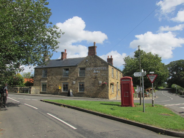
Marsh Lane, Derbyshire

Marsh Lane village is located in the civil parish of Eckington in North-East Derbyshire, England. It is 6 miles north east of Chesterfield. In 2011 the...

Eckington School

Eckington School is a coeducational secondary school and sixth form located in Eckington, Derbyshire in England, next to the B6056 road. It has around...

The Moss

The Moss is a brook in North East Derbyshire, England. When Rother Valley Country Park was built in the 1980s, constructors used water from The Moss to...

Bramley, Derbyshire

Bramley is a village in Derbyshire, England. It is in the civil parish of Eckington.

Troway

Troway ( ) is a village in North East Derbyshire, England. Population details are included in the civil parish of Eckington.The village is located in the...

Middle Handley

Middle Handley is a village in North East Derbyshire in the county of Derbyshire in England. == Location == Middle Handley lies just south of the village...

Birley Hay

Birley Hay is a hamlet in North East Derbyshire in the county of Derbyshire in England. == Location == Birley Hay lies just south of the South Yorkshire...

Eckington, Derbyshire

Eckington is a village and civil parish in North East Derbyshire, England. It is 7 miles (11 km) northeast of Chesterfield and 9 miles (14 km) southeast...

Nearby Amenities

Located within 500m of 53.308317,-1.388296
Marsh Lane
Is In: Derbyshire, England, UK
Place: village
Lat/Long: 53.3065816/-1.3940962
Crossing
Crossing: traffic_signals
Crossing Ref: pelican
Lat/Long: 53.3066819/-1.3949135
Post Box
Collection Times: Mo-Fr 16:00; Sa 11:00
Post Box Type: pillar
Ref: S21 382
Royal Cypher: EVIIR
Royal Cypher Wikidata: Q33102324
Lat/Long: 53.3065832/-1.3949676
Speed Camera
Lat/Long: 53.3068571/-1.3943721
Speed Camera
Lat/Long: 53.3080719/-1.3906805
Bus Stop
Bus: yes
Naptan AtcoCode: 1000DMLF7767
Naptan NaptanCode: dbsatwjt
Public Transport: platform
Lat/Long: 53.3087928/-1.3920467
War Memorial
Historic: memorial
Lat/Long: 53.308201/-1.3916862
Bus Stop
Bus: yes
Naptan AtcoCode: 1000DMLM7768
Naptan NaptanCode: dbsdtdpg
Public Transport: platform
Lat/Long: 53.3076237/-1.3844789
Ravencar Farm Bed & Breakfast
Postal Code: S21 5RH
Tourism: guest_house
Lat/Long: 53.3068305/-1.3812472
Barrier: stile
Lat/Long: 53.3084715/-1.3810307
Barrier: stile
Steps: 2
Stile: stepover
Lat/Long: 53.3110686/-1.3937625
Barrier: stile
Lat/Long: 53.3039004/-1.3885975
Barrier: stile
Lat/Long: 53.3087331/-1.3955603
Barrier: kissing_gate
Lat/Long: 53.3105367/-1.3842204
Generator Method: photovoltaic
Generator Output Electricity: yes
Generator Source: solar
Generator Type: solar_photovoltaic_panel
Location: roof
Power: generator
Lat/Long: 53.3079848/-1.3903581
Barrier: kissing_gate
Lat/Long: 53.3119867/-1.385299
Barrier: stile
Lat/Long: 53.3076892/-1.3929553
Barrier: stile
Lat/Long: 53.3083507/-1.3931901
Barrier: stile
Lat/Long: 53.3081566/-1.3930292
Barrier: stile
Lat/Long: 53.3087928/-1.3954136
Barrier: stile
Lat/Long: 53.3084956/-1.3940303
Bench
Backrest: yes
Lat/Long: 53.3077546/-1.3924068
Barrier: stile
Lat/Long: 53.3083827/-1.3931256
Shelter
Lat/Long: 53.3077831/-1.3923433
Barrier: stile
Lat/Long: 53.304016/-1.3897324
Barrier: stile
Lat/Long: 53.3043629/-1.3915349
Barrier: stile
Lat/Long: 53.3087004/-1.3928916
Barrier: stile
Lat/Long: 53.3042374/-1.3902417
Barrier: stile
Lat/Long: 53.3039597/-1.3890347
Bench
Backrest: yes
Lat/Long: 53.308106/-1.392128
The data included in this document is from www.openstreetmap.org. The data is made available under ODbL.

Have you been to Bramley Park?

Leave your review of Bramley Park below (or comments, questions and feedback).