Weston under Wetherley

Settlement in Warwickshire Warwick

England

Weston under Wetherley

HS2 enabling works near Cubbington, September 2021 (1) This is a foreshortened view of the contractor's compound beside the B4453 Rugby Road northeast of Cubbington village. The diverted road will cross HS2 by an overbridge; the railway will run across the middle of the photo. In the background, centre, is South Cubbington Wood. <span class="nowrap"><a title="https://assets.publishing.service.gov.uk/government/uploads/system/uploads/attachment_data/file/532882/C223-CSI-CV-DPP-030-000004-FPD.pdf" rel="nofollow ugc noopener" href="https://assets.publishing.service.gov.uk/government/uploads/system/uploads/attachment_data/file/532882/C223-CSI-CV-DPP-030-000004-FPD.pdf">Link</a><img style="margin-left:2px;" alt="External link" title="External link - shift click to open in new window" src="https://s1.geograph.org.uk/img/external.png" width="10" height="10"/></span>
HS2 enabling works near Cubbington, September 2021 (1) Credit: Robin Stott

Weston under Wetherley is a small village located in the county of Warwickshire, England. Situated approximately 5 miles southeast of the town of Leamington Spa, it is nestled among the rolling countryside of the Warwickshire countryside. The village is part of the Warwick District, which falls within the West Midlands region.

The history of Weston under Wetherley can be traced back to the Domesday Book of 1086, where it was mentioned as "Westone." Over the centuries, the village has retained much of its rural charm and character, with a mix of traditional stone cottages and more modern houses dotting the landscape.

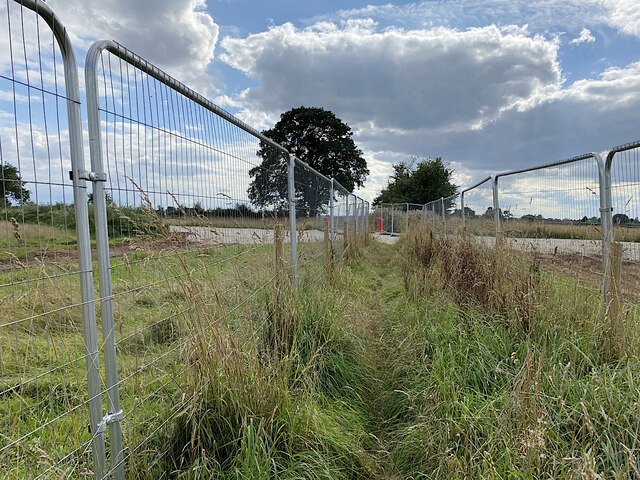
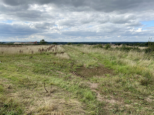
A notable feature of Weston under Wetherley is its picturesque surroundings. The village is surrounded by lush green fields and meadows, making it an ideal location for walking and outdoor activities. The nearby Wetherley Brook adds to the village's charm, flowing gently through the countryside.

Despite its small size, Weston under Wetherley offers a sense of community and amenities for its residents. The village has a local pub, The Oak, which serves as a gathering place for locals and visitors alike. There is also a village hall that hosts various events and activities throughout the year.

For those seeking further amenities, the nearby town of Leamington Spa provides a wider range of services, including shops, supermarkets, schools, and healthcare facilities.

Overall, Weston under Wetherley is a tranquil and idyllic village that offers a peaceful retreat from the hustle and bustle of urban life. Its natural beauty and sense of community make it an appealing place to live for those looking for a slice of countryside living.

If you have any feedback on the listing, please let us know in the comments section below.

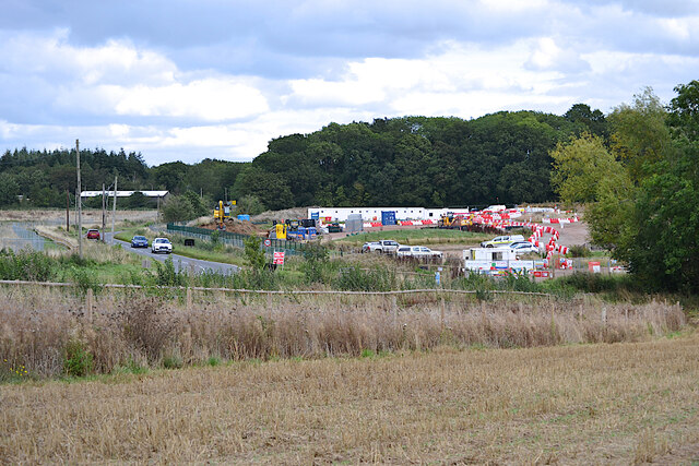
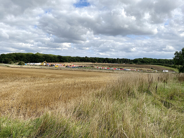
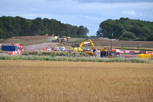
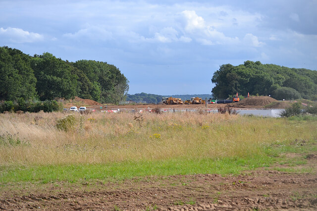
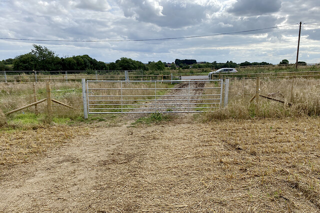
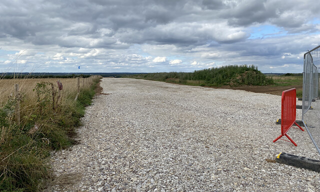
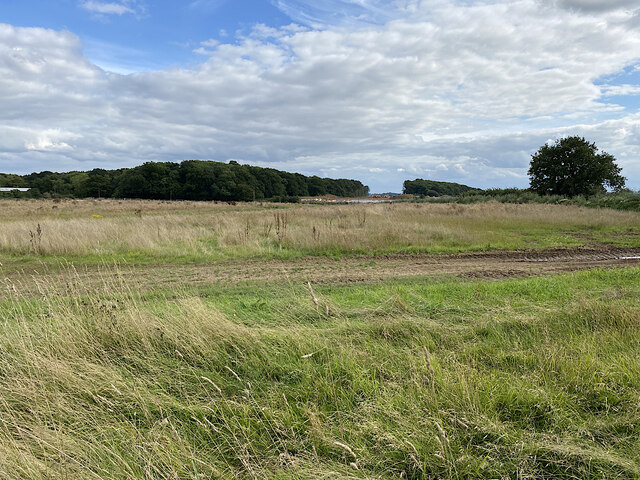
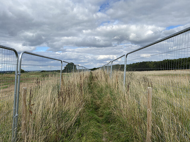
Weston under Wetherley Images

Images are sourced within 2km of 52.320577/-1.4700911 or Grid Reference SP3669. Thanks to Geograph Open Source API. All images are credited.

HS2 enabling works near Cubbington, September 2021 (1) This is a foreshortened view of the contractor's compound beside the B4453 Rugby Road northeast of Cubbington village. The diverted road will cross HS2 by an overbridge; the railway will run across the middle of the photo. In the background, centre, is South Cubbington Wood. <span class="nowrap"><a title="https://assets.publishing.service.gov.uk/government/uploads/system/uploads/attachment_data/file/532882/C223-CSI-CV-DPP-030-000004-FPD.pdf" rel="nofollow ugc noopener" href="https://assets.publishing.service.gov.uk/government/uploads/system/uploads/attachment_data/file/532882/C223-CSI-CV-DPP-030-000004-FPD.pdf">Link</a><img style="margin-left:2px;" alt="External link" title="External link - shift click to open in new window" src="https://s1.geograph.org.uk/img/external.png" width="10" height="10"/></span>
HS2 enabling works near Cubbington, September 2021 (1)
This is a foreshortened view of the contractor's compound beside the B4453 Rugby Road northeast of Cubbington village. The diverted road will cross HS2 by an overbridge; the railway will run across the middle of the photo. In the background, centre, is South Cubbington Wood. LinkExternal link
HS2 enabling works near Cubbington, September 2021 (2) A wide view of the contractor's compound by the B4453 Rugby Road and work in progress. The railway will run in front of South Cubbington Wood, centre. <span class="nowrap"><a title="https://assets.publishing.service.gov.uk/government/uploads/system/uploads/attachment_data/file/532882/C223-CSI-CV-DPP-030-000004-FPD.pdf" rel="nofollow ugc noopener" href="https://assets.publishing.service.gov.uk/government/uploads/system/uploads/attachment_data/file/532882/C223-CSI-CV-DPP-030-000004-FPD.pdf">Link</a><img style="margin-left:2px;" alt="External link" title="External link - shift click to open in new window" src="https://s1.geograph.org.uk/img/external.png" width="10" height="10"/></span>
HS2 enabling works near Cubbington, September 2021 (2)
A wide view of the contractor's compound by the B4453 Rugby Road and work in progress. The railway will run in front of South Cubbington Wood, centre. LinkExternal link
HS2 enabling works near Cubbington, September 2021 (3) A foreshortened view of work in progress. It's not easy to interpret it in relation to the plans <span class="nowrap"><a title="https://assets.publishing.service.gov.uk/government/uploads/system/uploads/attachment_data/file/532882/C223-CSI-CV-DPP-030-000004-FPD.pdf" rel="nofollow ugc noopener" href="https://assets.publishing.service.gov.uk/government/uploads/system/uploads/attachment_data/file/532882/C223-CSI-CV-DPP-030-000004-FPD.pdf">Link</a><img style="margin-left:2px;" alt="External link" title="External link - shift click to open in new window" src="https://s1.geograph.org.uk/img/external.png" width="10" height="10"/></span> It's safe to say that a great deal of earth is being moved around. The gap in the woodland is the swathe cut in the winter, severing the south corner of South Cubbington Wood: <a href="https://www.geograph.org.uk/photo/6765887">SP3568 : HS2 enabling works near Cubbington, February 2021 (8)</a>. The railway will have climbed up to here after crossing the Leam valley: see <a href="https://www.geograph.org.uk/photo/6869545">SP3666 : HS2 enabling works near Offchurch, April 2021 (5)</a>.
HS2 enabling works near Cubbington, September 2021 (3)
A foreshortened view of work in progress. It's not easy to interpret it in relation to the plans LinkExternal link It's safe to say that a great deal of earth is being moved around. The gap in the woodland is the swathe cut in the winter, severing the south corner of South Cubbington Wood: SP3568 : HS2 enabling works near Cubbington, February 2021 (8). The railway will have climbed up to here after crossing the Leam valley: see SP3666 : HS2 enabling works near Offchurch, April 2021 (5).
HS2 enabling works near Cubbington, September 2021 (4) In this cropped image two large earthmoving machines are working in the swathe cut through the southern corner of South Cubbington Wood: at about the 135+000 mark on the plans <span class="nowrap"><a title="https://assets.publishing.service.gov.uk/government/uploads/system/uploads/attachment_data/file/532882/C223-CSI-CV-DPP-030-000004-FPD.pdf" rel="nofollow ugc noopener" href="https://assets.publishing.service.gov.uk/government/uploads/system/uploads/attachment_data/file/532882/C223-CSI-CV-DPP-030-000004-FPD.pdf">Link</a><img style="margin-left:2px;" alt="External link" title="External link - shift click to open in new window" src="https://s1.geograph.org.uk/img/external.png" width="10" height="10"/></span> . The railway will be in a cutting, reportedly, having climbed up from the River Leam crossing in SP3567: see <a href="https://www.geograph.org.uk/photo/6764646">SP3568 : HS2 enabling works near Cubbington, February 2021 (5)</a>. The line will head for the fenced-off ground in front of the camera. Locations are estimated.
HS2 enabling works near Cubbington, September 2021 (4)
In this cropped image two large earthmoving machines are working in the swathe cut through the southern corner of South Cubbington Wood: at about the 135+000 mark on the plans LinkExternal link . The railway will be in a cutting, reportedly, having climbed up from the River Leam crossing in SP3567: see SP3568 : HS2 enabling works near Cubbington, February 2021 (5). The line will head for the fenced-off ground in front of the camera. Locations are estimated.
HS2 enabling works near Cubbington, September 2021 (5) New fences and gates have been erected alongside the B4453 Rugby Road. This is in advance of the road being diverted to cross HS2 by an overbridge yet to be built. The stretch of footpath W130b behind the camera will be closed and will instead follow the road north to its diversion along the south side of North Cubbington Wood. <span class="nowrap"><a title="https://assets.publishing.service.gov.uk/government/uploads/system/uploads/attachment_data/file/532882/C223-CSI-CV-DPP-030-000004-FPD.pdf" rel="nofollow ugc noopener" href="https://assets.publishing.service.gov.uk/government/uploads/system/uploads/attachment_data/file/532882/C223-CSI-CV-DPP-030-000004-FPD.pdf">Link</a><img style="margin-left:2px;" alt="External link" title="External link - shift click to open in new window" src="https://s1.geograph.org.uk/img/external.png" width="10" height="10"/></span>
HS2 enabling works near Cubbington, September 2021 (5)
New fences and gates have been erected alongside the B4453 Rugby Road. This is in advance of the road being diverted to cross HS2 by an overbridge yet to be built. The stretch of footpath W130b behind the camera will be closed and will instead follow the road north to its diversion along the south side of North Cubbington Wood. LinkExternal link
HS2 enabling works near Cubbington, September 2021 (6) This is the line of the haul road parallel to the railway, which will be in a cutting across the land to the right: lots of earth to be moved! The view is northwest from footpath W130b; locations are estimated.
HS2 enabling works near Cubbington, September 2021 (6)
This is the line of the haul road parallel to the railway, which will be in a cutting across the land to the right: lots of earth to be moved! The view is northwest from footpath W130b; locations are estimated.
HS2 enabling works near Cubbington, September 2021 (7) This is farmland left uncultivated prior to the construction of HS2. The line will run somewhere to the left of the camera from the gap cut through South Cubbington Wood, just right of centre <a href="https://www.geograph.org.uk/photo/6976653">SP3568 : HS2 enabling works near Cubbington, September 2021 (4)</a>. The contractor's compound can be seen; the telephone poles mark the line of the B4453 Rugby Road, which will cross HS2 by an overbridge. On the right is the start of North Cubbington Wood.
HS2 enabling works near Cubbington, September 2021 (7)
This is farmland left uncultivated prior to the construction of HS2. The line will run somewhere to the left of the camera from the gap cut through South Cubbington Wood, just right of centre SP3568 : HS2 enabling works near Cubbington, September 2021 (4). The contractor's compound can be seen; the telephone poles mark the line of the B4453 Rugby Road, which will cross HS2 by an overbridge. On the right is the start of North Cubbington Wood.
HS2 enabling works near Cubbington, September 2021 (8) Footpath W130b is confined by fences across the area of forthcoming HS2 construction; at some point it will be closed and diverted. On the left is North Cubbington Wood, which will be untouched by the railway. Locations are estimated.
HS2 enabling works near Cubbington, September 2021 (8)
Footpath W130b is confined by fences across the area of forthcoming HS2 construction; at some point it will be closed and diverted. On the left is North Cubbington Wood, which will be untouched by the railway. Locations are estimated.
HS2 enabling works near Cubbington, September 2021 (9) Looking southwest along footpath W130b, fenced across the area of railway construction. The haul road in <a href="https://www.geograph.org.uk/photo/6981073">SP3469 : HS2 enabling works near Cubbington, September 2021 (6)</a> can be seen. When work starts the footpath will be permanently diverted. Locations are estimated.
HS2 enabling works near Cubbington, September 2021 (9)
Looking southwest along footpath W130b, fenced across the area of railway construction. The haul road in SP3469 : HS2 enabling works near Cubbington, September 2021 (6) can be seen. When work starts the footpath will be permanently diverted. Locations are estimated.
HS2 enabling works near Cubbington, September 2021 (10) This land has been fenced and left uncultivated. Somewhere in the middle distance HS2 will be in a cutting heading somewhat to the right. On the left here a solitary machine is moving earth near the Coventry Road out of Cubbington, which will be diverted to cross the railway by an overbridge. Locations are estimated. Tanner's Barn near here, shown on the 1:25 k map, appears to have been demolished in the past. <span class="nowrap"><a title="https://assets.publishing.service.gov.uk/government/uploads/system/uploads/attachment_data/file/532882/C223-CSI-CV-DPP-030-000004-FPD.pdf" rel="nofollow ugc noopener" href="https://assets.publishing.service.gov.uk/government/uploads/system/uploads/attachment_data/file/532882/C223-CSI-CV-DPP-030-000004-FPD.pdf">Link</a><img style="margin-left:2px;" alt="External link" title="External link - shift click to open in new window" src="https://s1.geograph.org.uk/img/external.png" width="10" height="10"/></span>
HS2 enabling works near Cubbington, September 2021 (10)
This land has been fenced and left uncultivated. Somewhere in the middle distance HS2 will be in a cutting heading somewhat to the right. On the left here a solitary machine is moving earth near the Coventry Road out of Cubbington, which will be diverted to cross the railway by an overbridge. Locations are estimated. Tanner's Barn near here, shown on the 1:25 k map, appears to have been demolished in the past. LinkExternal link
HS2 enabling works near Cubbington, September 2021 (11) The view is south along Coventry Road towards Cubbington: a racetrack. HS2 will come out of the skyline left of centre and cross roughly where the solitary digger is working. Coventry Road will be diverted on to an overbridge, landing somewhere here judging by the fencing, left. Note the tree stump. Locations are estimated
HS2 enabling works near Cubbington, September 2021 (11)
The view is south along Coventry Road towards Cubbington: a racetrack. HS2 will come out of the skyline left of centre and cross roughly where the solitary digger is working. Coventry Road will be diverted on to an overbridge, landing somewhere here judging by the fencing, left. Note the tree stump. Locations are estimated
HS2 enabling works near Cubbington, September 2021 (12) The fencing and land left uncultivated are the clues. HS2 will come through here on its way to Stoneleigh Business Park. The view is from Coventry Road north of the village. Locations are estimated.
HS2 enabling works near Cubbington, September 2021 (12)
The fencing and land left uncultivated are the clues. HS2 will come through here on its way to Stoneleigh Business Park. The view is from Coventry Road north of the village. Locations are estimated.
HS2 enabling works near Cubbington, September 2021 (13) A sign by the Coventry Road approaching the village warns of HS2 site N11 Gate 16. Materials will be brought to site and material will be taken away. A lone digger works atop a pile of earth or stone. The road will be diverted to an overbridge to cross the railway.
HS2 enabling works near Cubbington, September 2021 (13)
A sign by the Coventry Road approaching the village warns of HS2 site N11 Gate 16. Materials will be brought to site and material will be taken away. A lone digger works atop a pile of earth or stone. The road will be diverted to an overbridge to cross the railway.
HS2 enabling works near Cubbington, September 2021 (14) HS2 site N11 Gate 16 is by the Coventry Road north of the village.
HS2 enabling works near Cubbington, September 2021 (14)
HS2 site N11 Gate 16 is by the Coventry Road north of the village.
HS2 enabling works near Cubbington, September 2021 (15) A lone digger works atop a pile of earth and stone at site N11. The Coventry Road will be diverted on to an overbridge to cross the railway. Note the tree stump. Locations are estimated.
HS2 enabling works near Cubbington, September 2021 (15)
A lone digger works atop a pile of earth and stone at site N11. The Coventry Road will be diverted on to an overbridge to cross the railway. Note the tree stump. Locations are estimated.
The bend of Mill Lane, Cubbington Mill Lane heads downhill to the right. Ahead is the drive to a couple of either large houses or small works.
The bend of Mill Lane, Cubbington
Mill Lane heads downhill to the right. Ahead is the drive to a couple of either large houses or small works.
Mill Lane climbs away from Cubbington On the left is a house near the end of The Grange. On the skyline is South Cubbington Wood – HS2 country. The mill referred to was perhaps a windmill: ahead is an exposed windy summit.
Mill Lane climbs away from Cubbington
On the left is a house near the end of The Grange. On the skyline is South Cubbington Wood – HS2 country. The mill referred to was perhaps a windmill: ahead is an exposed windy summit.
Mill Lane climbs to a summit east of Cubbington As I climbed up here it occurred to me that I was in an Arden landscape: massive hedges, tangled oaks. This is the Arden plateau's southeast corner.
Mill Lane climbs to a summit east of Cubbington
As I climbed up here it occurred to me that I was in an Arden landscape: massive hedges, tangled oaks. This is the Arden plateau's southeast corner.
Show me another place!

Weston under Wetherley is located at Grid Ref: SP3669 (Lat: 52.320577, Lng: -1.4700911)

Administrative County: Warwickshire

District: Warwick

Police Authority: Warwickshire

What 3 Words

///describe.offerings.grapevine. Near Royal Leamington Spa, Warwickshire

Related Wikis

Weston under Wetherley

Weston under Wetherley, often known by locals as just Weston, is a small village and civil parish in Warwickshire, England. It is on the B4453, 4 miles...

Cubbington Pear Tree

The Cubbington Pear Tree was a wild pear tree located near Cubbington in Warwickshire, England. Around 250 years old, it was the second largest wild pear...

Wappenbury

Wappenbury is a small village and civil parish in the English county of Warwickshire. Located on the north bank of the River Leam Wappenbury is almost...

Hunningham

Hunningham is a small village and civil parish in Warwickshire, England. It is 3 miles to the north-east of Leamington Spa, within the Radford Semele ward...

Nearby Amenities

Located within 500m of 52.320577,-1.4700911
Bus Stop
St. Michaels Close
Bus: yes
Naptan AtcoCode: 4200F076900
Naptan Bearing: E
Naptan CommonName: St. Michaels Close
Naptan Indicator: Adj
Naptan NaptanCode: wardgtap
Naptan Street: Rugby Road
Naptan Verified: no
Public Transport: platform
Source: naptan_import
Lat/Long: 52.3206607/-1.4696796
Bus Stop
Bus Shelter
Bus: yes
Naptan AtcoCode: 4200F077000
Naptan Bearing: W
Naptan CommonName: Bus Shelter
Naptan Indicator: Adj
Naptan NaptanCode: wardgtat
Naptan Street: Rugby Road
Naptan Verified: no
Public Transport: platform
Source: naptan_import
Lat/Long: 52.3205356/-1.4696541
Weston under Wetherley
Place: village
Wikidata: Q7989496
Wikipedia: en:Weston under Wetherley
Lat/Long: 52.3198823/-1.4681239
Barrier: kissing_gate
Lat/Long: 52.3168654/-1.4677909
Barrier: kissing_gate
Lat/Long: 52.3186134/-1.4732255
Barrier: kissing_gate
Lat/Long: 52.3189325/-1.4705548
Post Box
Brand: Royal Mail
Brand Wikidata: Q638098
Collection Times: Mo-Fr 16:15; Sa 07:00
Operator: Royal Mail
Operator Wikidata: Q638098
Post Box Type: lamp
Ref: CV33 72
Royal Cypher: EIIR
Royal Cypher Wikidata: Q33102113
Source: survey
Lat/Long: 52.3206883/-1.4701344
Defibrillator
Emergency: defibrillator
Ref: AG05
Source: survey
Lat/Long: 52.3208018/-1.4644712
Bench
Backrest: yes
Lat/Long: 52.3207038/-1.4642721
Generator Method: photovoltaic
Generator Output Electricity: yes
Generator Source: solar
Generator Type: solar_photovoltaic_panel
Location: roof
Power: generator
Lat/Long: 52.3212043/-1.4699994
Generator Method: photovoltaic
Generator Output Electricity: yes
Generator Source: solar
Generator Type: solar_photovoltaic_panel
Location: roof
Power: generator
Lat/Long: 52.3209977/-1.4694925
Generator Method: photovoltaic
Generator Output Electricity: yes
Generator Source: solar
Generator Type: solar_photovoltaic_panel
Location: roof
Power: generator
Lat/Long: 52.3212699/-1.4694361
Generator Method: photovoltaic
Generator Output Electricity: yes
Generator Source: solar
Generator Type: solar_photovoltaic_panel
Location: roof
Power: generator
Lat/Long: 52.32126/-1.4691089
Generator Method: photovoltaic
Generator Output Electricity: yes
Generator Source: solar
Generator Type: solar_photovoltaic_panel
Location: roof
Power: generator
Lat/Long: 52.3208108/-1.4689292
The data included in this document is from www.openstreetmap.org. The data is made available under ODbL.

Have you been to Weston under Wetherley?

Leave your review of Weston under Wetherley below (or comments, questions and feedback).