Braithwaite
Settlement in Cumberland Allerdale
England
Braithwaite

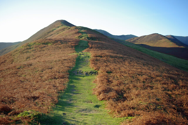
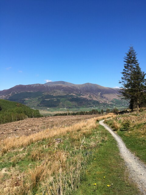
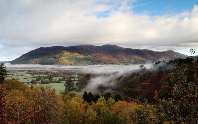
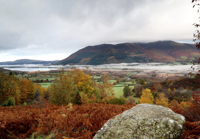
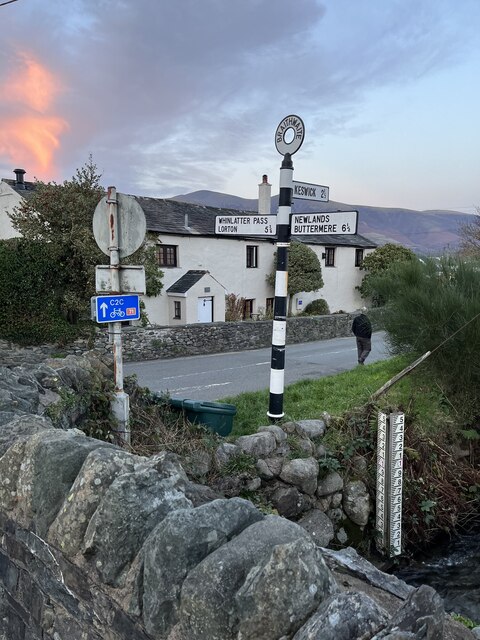
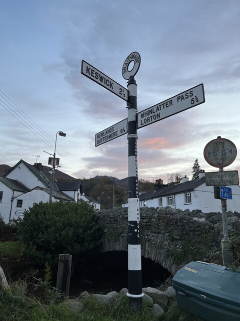
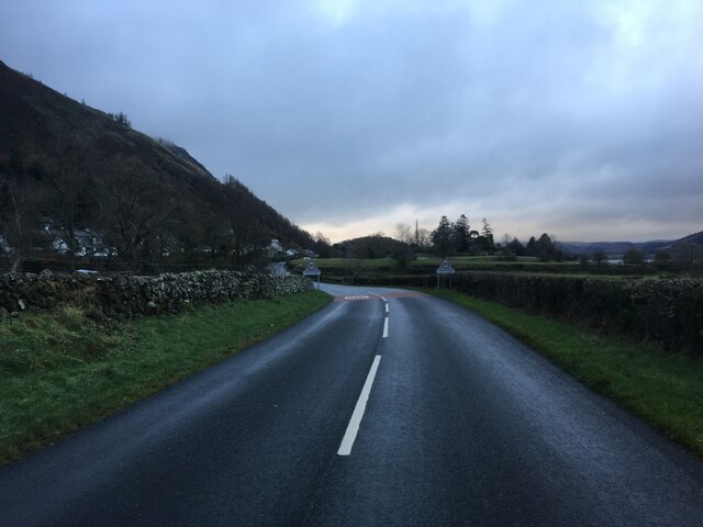
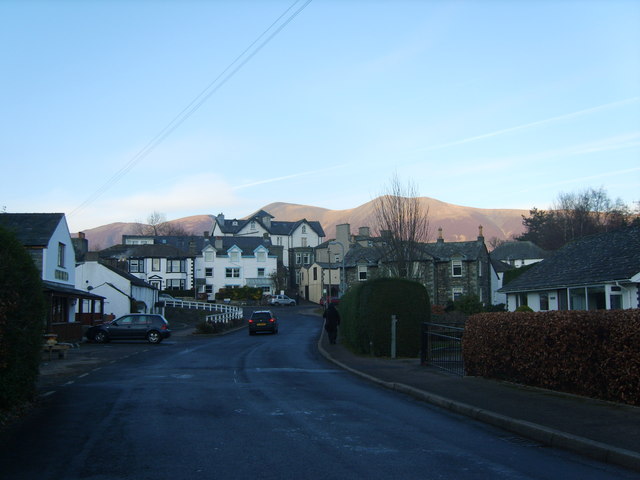
Braithwaite is a quaint village located in the county of Cumberland, in the northwestern region of England. Situated in the beautiful Lake District National Park, it is surrounded by breathtaking natural landscapes and is known for its idyllic setting. The village is nestled in the Coledale Valley, with the towering peaks of Grisedale Pike and Causey Pike providing a stunning backdrop.
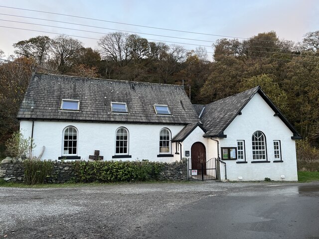
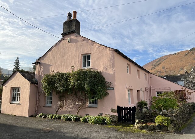
With a population of around 400 residents, Braithwaite maintains a peaceful and close-knit community atmosphere. The village is primarily residential, consisting of charming stone cottages and traditional English gardens. The local architecture reflects the area's history and heritage, making it an attractive destination for visitors.
Braithwaite offers a range of amenities to cater to both residents and tourists. The village boasts a few cozy pubs and guesthouses, providing a warm welcome to those passing through. Additionally, there is a small convenience store that caters to the daily needs of the community.
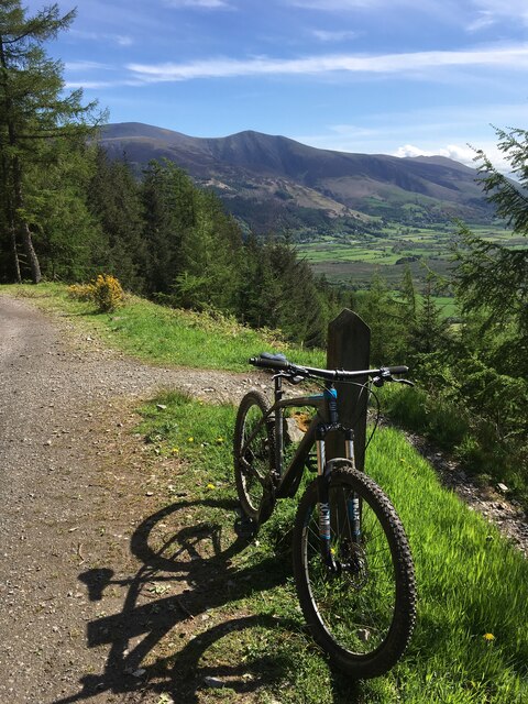
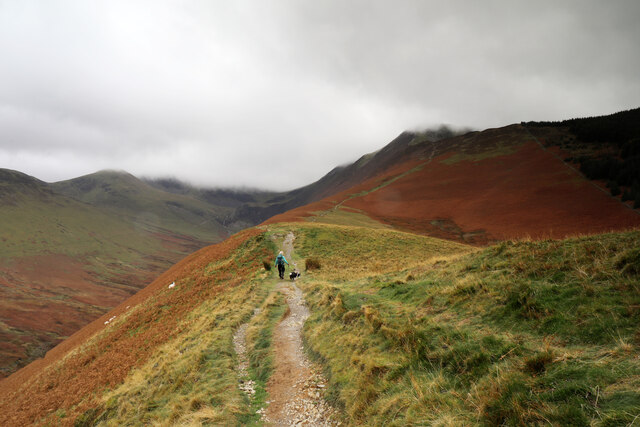
For outdoor enthusiasts, Braithwaite is a paradise. The village serves as an excellent base for exploring the Lake District, with numerous hiking and walking trails starting from its doorstep. Whinlatter Forest Park, a short distance away, offers further opportunities for adventure, including mountain biking and wildlife spotting.
Overall, Braithwaite is a charming and picturesque village that offers a tranquil escape to nature lovers and those seeking a peaceful retreat in the stunning Lake District National Park.
If you have any feedback on the listing, please let us know in the comments section below.
Braithwaite Images
Images are sourced within 2km of 54.603084/-3.189641 or Grid Reference NY2323. Thanks to Geograph Open Source API. All images are credited.


Braithwaite is located at Grid Ref: NY2323 (Lat: 54.603084, Lng: -3.189641)
Administrative County: Cumbria
District: Allerdale
Police Authority: Cumbria
What 3 Words
///gurgling.nurture.cuff. Near Keswick, Cumbria
Nearby Locations
Related Wikis

Braithwaite
Braithwaite is a village in the northern Lake District, in Cumbria, England. Historically in Cumberland, it lies just to the west of Keswick and to the...
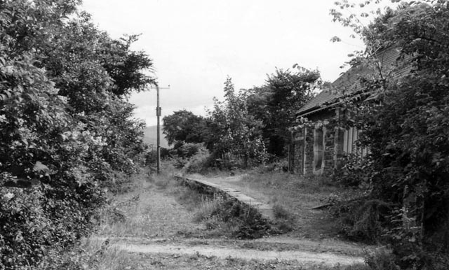
Braithwaite railway station
Braithwaite railway station was situated on the Cockermouth, Keswick and Penrith Railway between Penrith and Cockermouth in Cumbria, England. The station...
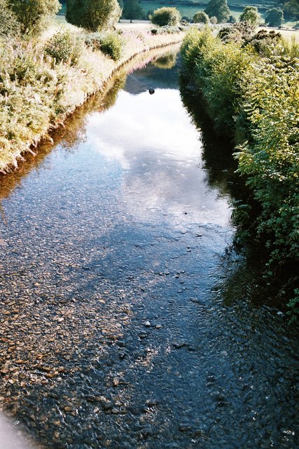
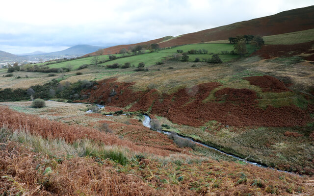
Coledale Beck
Coledale Beck is a minor river running through Cumbria in England. == Course == The beck rises north east of Eel Crag, where Pudding Beck meets Birkthwaite...
Portinscale
Portinscale is a village in Cumbria, England, close to the western shore of Derwentwater in the Lake District National Park 1+1⁄2 miles (2.5 kilometres...

Swinside (Derwent Water)
Swinside is a hill in the northwestern area of the English Lake District. It is small, wooded and surrounded by much bigger and more popular fells, meaning...

Thornthwaite
Thornthwaite is a village in Cumbria, England. Historically in Cumberland, it is just off the A66 road, south of Bassenthwaite Lake and within the Lake...

Barrow (Lake District)
Barrow is small fell in the English Lake District in the county of Cumbria which reaches a height of 455 metres (1,494 feet). It is in the Newlands Valley...

Chapel Beck
Chapel Beck is a minor river in the county of Cumbria in England. The beck rises in the Whinlatter Forest in the Lake District at the confluence of Grisedale...
Nearby Amenities
Located within 500m of 54.603084,-3.189641Have you been to Braithwaite?
Leave your review of Braithwaite below (or comments, questions and feedback).