Braiswick
Settlement in Essex Colchester
England
Braiswick
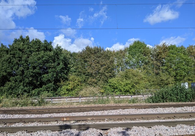
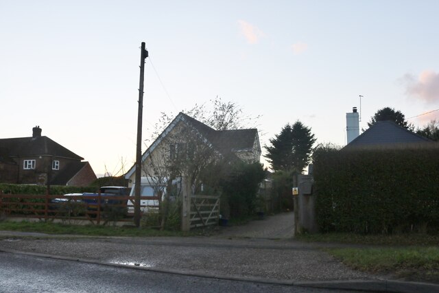
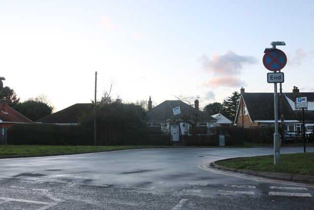
Braiswick is a small village located in the county of Essex, England. It is situated approximately 2 miles northeast of the town of Colchester, and it falls within the borough of the same name. The village is surrounded by picturesque countryside and benefits from its proximity to the River Colne.
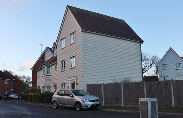
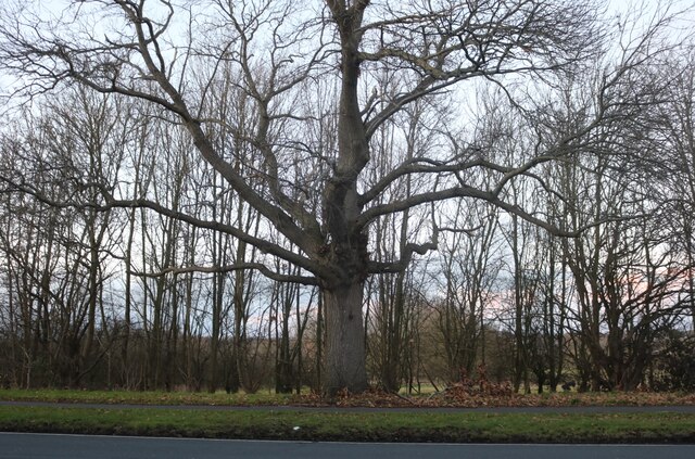
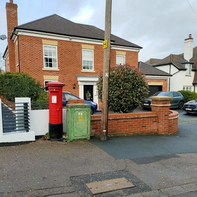
Historically, Braiswick was known for its agriculture and farming, with fields and meadows dominating the landscape. However, over the years, it has undergone some development, with a range of residential properties now scattered throughout the area. Despite this, Braiswick has managed to maintain its rural charm and peaceful atmosphere.
The village offers limited amenities, with no shops or pubs within its boundaries. However, residents can easily access the nearby town of Colchester, which provides a wide range of services and facilities, including shops, restaurants, and entertainment venues.
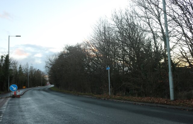
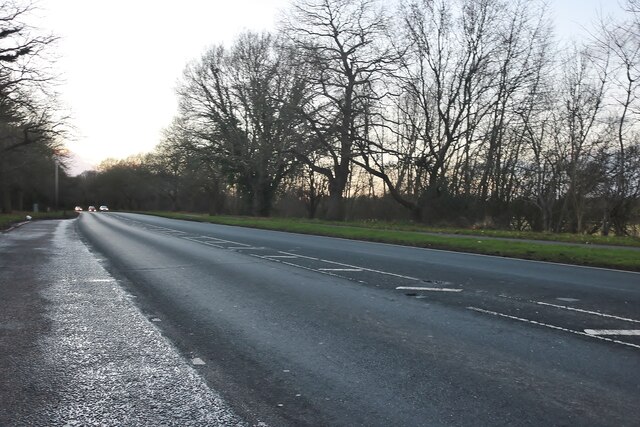
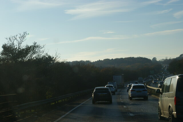
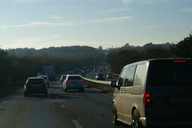
Braiswick is well-connected in terms of transportation, with several major roads passing through or near the village, including the A12 and the A134. This allows for convenient access to surrounding areas and makes commuting to larger towns or cities relatively straightforward.
Overall, Braiswick offers a tranquil and idyllic living environment, making it an attractive option for those seeking a peaceful rural lifestyle within close proximity to urban amenities.
If you have any feedback on the listing, please let us know in the comments section below.
Braiswick Images
Images are sourced within 2km of 51.907183/0.880991 or Grid Reference TL9827. Thanks to Geograph Open Source API. All images are credited.
Braiswick is located at Grid Ref: TL9827 (Lat: 51.907183, Lng: 0.880991)
Administrative County: Essex
District: Colchester
Police Authority: Essex
What 3 Words
///dimes.gave.jars. Near West Bergholt, Essex
Nearby Locations
Related Wikis

Colchester Carriage Servicing Depot
Colchester engine shed was a motive power depot located in Colchester in the county of Essex in the UK. The original depot dated back to the opening of...

Westhouse Wood
Westhouse Wood is a 2.8-hectare (6.9-acre) nature reserve north-west of Colchester in Essex. It is managed by the Essex Wildlife Trust.The wood is mainly...
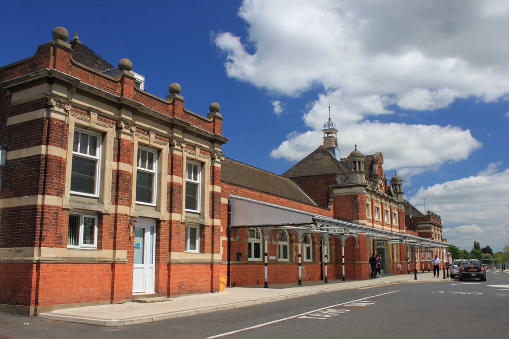
Colchester railway station
Colchester railway station (also known as Colchester North) is on the Great Eastern Main Line (GEML) in the East of England, and is the primary station...

Myland
Myland (also called Mile End) is a civil parish in Essex, England. It is now a northern suburb of Colchester. The original village began approximately...

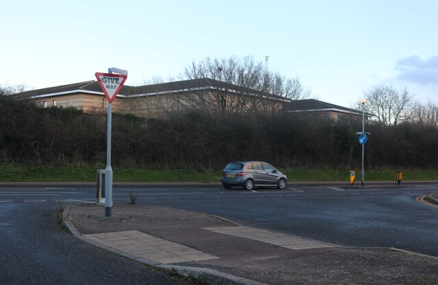
Colchester Hospital
Colchester Hospital is a district general hospital located in Colchester, Essex. It is managed by East Suffolk and North Essex NHS Foundation Trust....
St Helena School, Colchester
St Helena School is a coeducational secondary school with academy status, located in Colchester, Essex, England. The school is situated on Sheepen Road...

St Aubyn Centre
The St Aubyn Centre is a mental health facility at 216 Turner Road, Colchester, Essex. It has two wards: (i) Longview Ward which is a General Adolescent...

Severalls Hospital
Severalls Hospital was a psychiatric hospital in Colchester, Essex, England. It was managed by the North Essex Partnership University NHS Foundation Trust...
Nearby Amenities
Located within 500m of 51.907183,0.880991Have you been to Braiswick?
Leave your review of Braiswick below (or comments, questions and feedback).