Weston

Settlement in Suffolk East Suffolk

England

Weston

Restricted vehicles on Green Lane Green Lane is a bridleway and footpath to Chenery's Farm and would have, before the southern bypass continued as far as Rigbourne Hill Lane and into Beccles <a title="https://www.geograph.org.uk/photo/7655582" href="https://www.geograph.org.uk/photo/7655582">Link</a>
Restricted vehicles on Green Lane Credit: Adrian S Pye

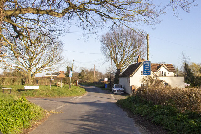
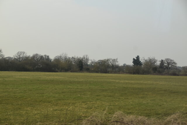
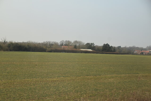
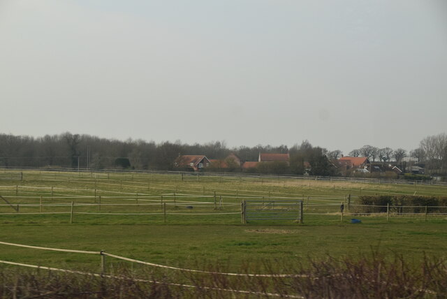
Weston is a small village located in the county of Suffolk, England. It is situated approximately 15 miles northeast of the town of Bury St Edmunds and 10 miles northwest of the city of Ipswich. The village is nestled amidst picturesque countryside, with rolling hills and fields surrounding it.

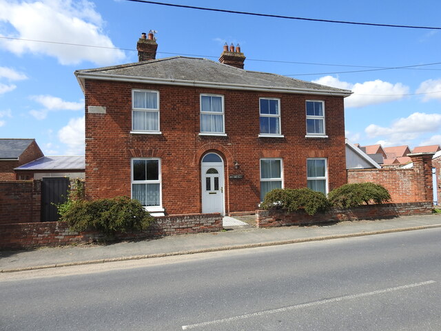
The history of Weston can be traced back to the medieval period when it was a thriving agricultural community. Today, it retains its rural charm and is known for its tranquil atmosphere. The village is predominantly residential, with a population of around 500 people.

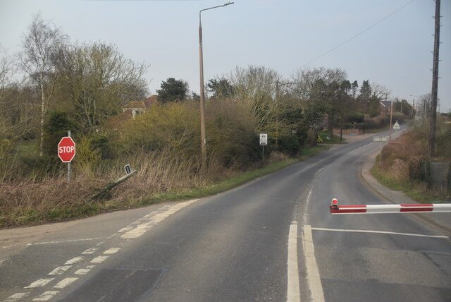
In terms of amenities, Weston boasts a local pub, The White Horse, which serves as a social hub for the community. There is also a village hall that hosts various events and gatherings throughout the year. However, for more extensive services and facilities, residents often rely on nearby towns and cities.

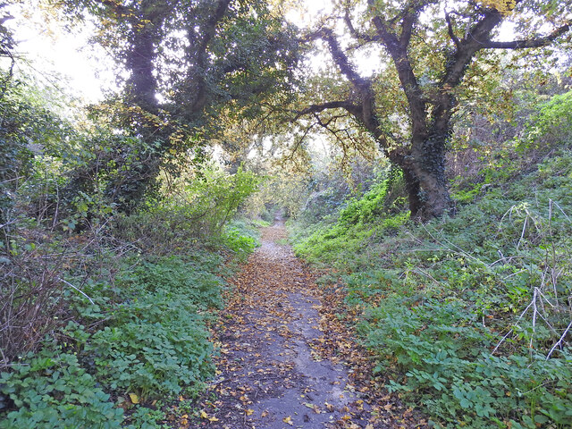
The surrounding area offers plenty of opportunities for outdoor activities and exploration. The village is located close to the River Deben, providing opportunities for fishing and boating enthusiasts. Additionally, there are numerous walking and cycling routes in the vicinity, allowing visitors to immerse themselves in the natural beauty of the Suffolk countryside.

Overall, Weston is a charming village that offers a peaceful and idyllic lifestyle. Its close proximity to larger towns and cities ensures that residents have access to a range of amenities while still enjoying the tranquility of rural living.

If you have any feedback on the listing, please let us know in the comments section below.
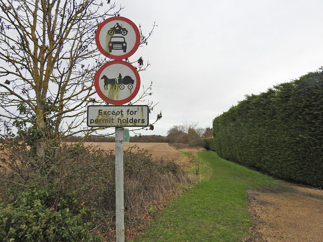
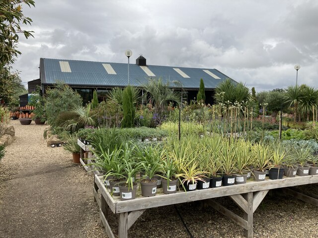
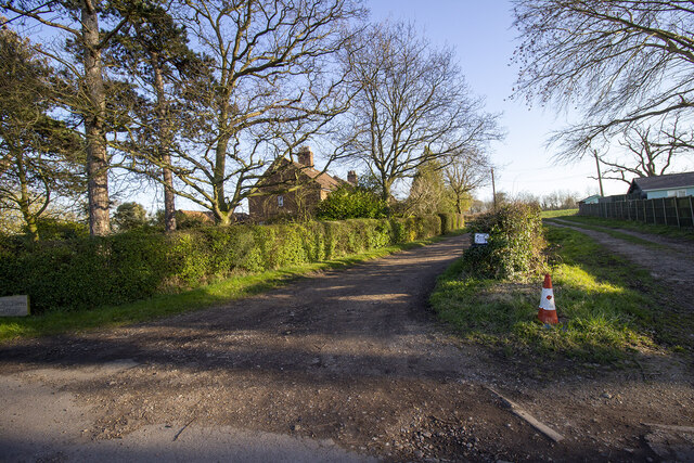
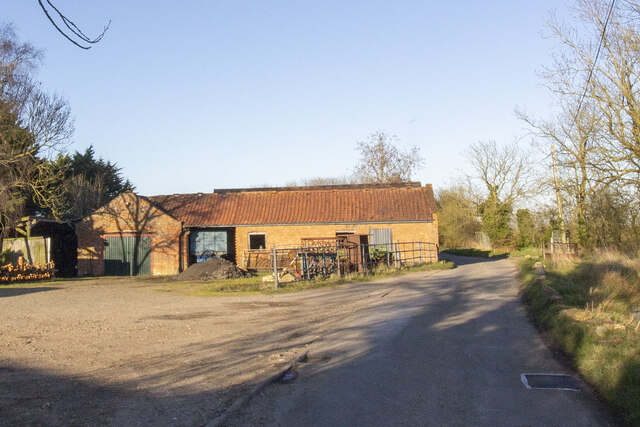
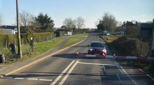
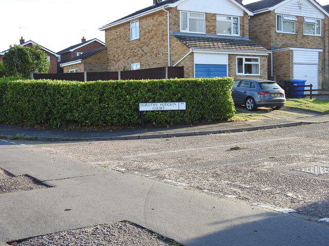
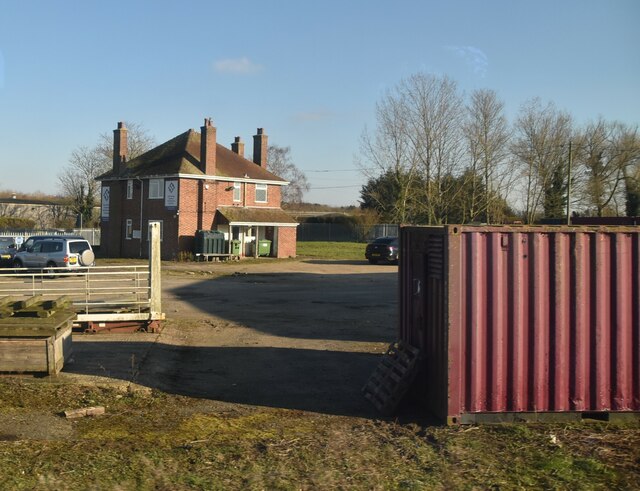
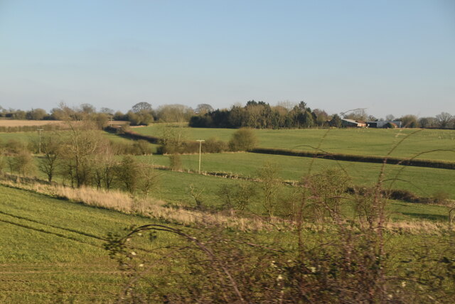
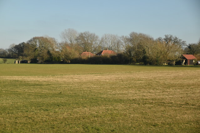
Weston Images

Images are sourced within 2km of 52.428763/1.5732073 or Grid Reference TM4387. Thanks to Geograph Open Source API. All images are credited.

Restricted vehicles on Green Lane Green Lane is a bridleway and footpath to Chenery's Farm and would have, before the southern bypass continued as far as Rigbourne Hill Lane and into Beccles <a title="https://www.geograph.org.uk/photo/7655582" href="https://www.geograph.org.uk/photo/7655582">Link</a>
Restricted vehicles on Green Lane
Green Lane is a bridleway and footpath to Chenery's Farm and would have, before the southern bypass continued as far as Rigbourne Hill Lane and into Beccles Link
Urban Jungle plant nursery and cafe An interesting plant nursery, garden centre and cafe just outside Beccles: <span class="nowrap"><a title="https://www.urbanjungle.uk.com/visit/urban-jungle-suffolk/" rel="nofollow ugc noopener" href="https://www.urbanjungle.uk.com/visit/urban-jungle-suffolk/">Link</a><img style="margin-left:2px;" alt="External link" title="External link - shift click to open in new window" src="https://s1.geograph.org.uk/img/external.png" width="10" height="10"/></span>
Urban Jungle plant nursery and cafe
An interesting plant nursery, garden centre and cafe just outside Beccles: LinkExternal link
South End Farm Cottages
Old Farm
Old Farm
Ellough
Ellough
Dorothy Hodgkin Court, Beccles Dorothy Hodgkin Court was named after one of the town's most famous residents, who was given the freedom of the town in 1965 <a href="https://www.geograph.org.uk/photo/7550085">TM4290 : Plaque honouring Dorothy Hodgkin</a>.
 
Dorothy Mary Crowfoot was born in Cairo and came to England at the age of four. At the age of eleven, she was enrolled and educated at the Sir John Leman School, Beccles. At her insistence she, and one other girl, had chemistry lessons instead of domestic science, and excelled. She went on to advance the technique of X-ray crystallography to determine the structure of biomolecules, which became essential for structural biology. She mapped the structure of vitamin B12, for which in 1964 she became the only British woman to win the Nobel Prize in Chemistry, and went on to elucidate the structure of insulin in 1969 after 35 years of research.
She used the name "Dorothy Crowfoot" until twelve years after marrying Thomas L. Hodgkin, when she began using "Dorothy Crowfoot Hodgkin". She is referred to as "Dorothy Hodgkin" by the Royal Society when referring to its sponsorship of the Dorothy Hodgkin fellowship, and by Somerville College. The National Archives of the United Kingdom refer to her as "Dorothy Mary Crowfoot Hodgkin". Hodgkin also served as Chancellor of the University of Bristol from 1970 to 1988. In 1976, she became the first woman to receive the Copley Medal from the Royal Society and in 1987 she accepted the Lenin Peace Prize from the government of Mikhail Gorbachev.
Dorothy Hodgkin Court, Beccles
Dorothy Hodgkin Court was named after one of the town's most famous residents, who was given the freedom of the town in 1965 TM4290 : Plaque honouring Dorothy Hodgkin. Dorothy Mary Crowfoot was born in Cairo and came to England at the age of four. At the age of eleven, she was enrolled and educated at the Sir John Leman School, Beccles. At her insistence she, and one other girl, had chemistry lessons instead of domestic science, and excelled. She went on to advance the technique of X-ray crystallography to determine the structure of biomolecules, which became essential for structural biology. She mapped the structure of vitamin B12, for which in 1964 she became the only British woman to win the Nobel Prize in Chemistry, and went on to elucidate the structure of insulin in 1969 after 35 years of research. She used the name "Dorothy Crowfoot" until twelve years after marrying Thomas L. Hodgkin, when she began using "Dorothy Crowfoot Hodgkin". She is referred to as "Dorothy Hodgkin" by the Royal Society when referring to its sponsorship of the Dorothy Hodgkin fellowship, and by Somerville College. The National Archives of the United Kingdom refer to her as "Dorothy Mary Crowfoot Hodgkin". Hodgkin also served as Chancellor of the University of Bristol from 1970 to 1988. In 1976, she became the first woman to receive the Copley Medal from the Royal Society and in 1987 she accepted the Lenin Peace Prize from the government of Mikhail Gorbachev.
Former Victorian Gardens, London Road, Beccles This is recorded in 1862, as Victorian Gardens, a public house for sale: "Red brick & slated  Free Public House called Victorian Gardens adjoining the Turnpike Road leading from Beccles to Halesworth, with large yard, stables, convenient outbuildings & pump & large piece of garden ground & fruit trees & an enclosure of rich Pasture Land. Successive owners have changed the name to Beaumont House, The Lions, Dowe's Hill and Bethesda.
Former Victorian Gardens, London Road, Beccles
This is recorded in 1862, as Victorian Gardens, a public house for sale: "Red brick & slated Free Public House called Victorian Gardens adjoining the Turnpike Road leading from Beccles to Halesworth, with large yard, stables, convenient outbuildings & pump & large piece of garden ground & fruit trees & an enclosure of rich Pasture Land. Successive owners have changed the name to Beaumont House, The Lions, Dowe's Hill and Bethesda.
Wilderness Woods
Wilderness Woods
Suffolk farmland
Suffolk farmland
Farmland
Farmland
Farmland and fences
Farmland and fences
Accounting, Taxation & Business Services
Farmland
Farmland
Suffolk farmland
Suffolk farmland
Farmland near Grove Park
Rigbourne Hill Lane, Beccles Rigbourne Hill Lane was established hundreds of years before Rigbourne Hill was developed just after WWII. Although it now has a tarmac pathway it is not as well used as it might be. From the start at Swines Green the lane is approximately 700 yards in length with an ascent of about 70 feet emerging at the top of Banham Road. From there it continues along Oak Lane, a name which was given to the road when developed, continuing with a change of name to Dirty Lane, after crossing Beccles southern bypass it re-emerges as Cucumber Lane, terminating at a former ford, (now bridged) in Church Road, Weston; a total distance of one and a half miles.
The name Rigbourne comes from the time of the Danelaw, rygg-bone meaning backbone.
Rigbourne Hill Lane, Beccles
Rigbourne Hill Lane was established hundreds of years before Rigbourne Hill was developed just after WWII. Although it now has a tarmac pathway it is not as well used as it might be. From the start at Swines Green the lane is approximately 700 yards in length with an ascent of about 70 feet emerging at the top of Banham Road. From there it continues along Oak Lane, a name which was given to the road when developed, continuing with a change of name to Dirty Lane, after crossing Beccles southern bypass it re-emerges as Cucumber Lane, terminating at a former ford, (now bridged) in Church Road, Weston; a total distance of one and a half miles. The name Rigbourne comes from the time of the Danelaw, rygg-bone meaning backbone.
Show me another place!

Weston is located at Grid Ref: TM4387 (Lat: 52.428763, Lng: 1.5732073)

Administrative County: Suffolk

District: East Suffolk

Police Authority: Suffolk

What 3 Words

///spill.geologist.bulges. Near Beccles, Suffolk

Nearby Locations

Weston

Related Wikis

Weston, Suffolk

Weston is a village and civil parish in the English county of Suffolk. It is around 2 miles (3 km) south of Beccles in the East Suffolk district. The parish...

All Saints Church, Ellough

All Saints Church is a redundant Anglican church in the parish of Ellough, Suffolk, England. The church is medieval in origin and is recorded in the National...

Ellough

Ellough is a civil parish in the East Suffolk district of the English county of Suffolk, located approximately 3 miles (5 km) south-east of Beccles. The...

Ellough Park Raceway

Ellough Park Raceway is a kart racing track in Ellough in the English county of Suffolk. It is located around 2 miles (3 km) south-east of the market town...

Willingham St Mary

Willingham St Mary, also known simply as Willingham, is a village and civil parish in the English county of Suffolk located about 3.5 miles (6 km) south...

Ringsfield

Ringsfield is a village and civil parish in the English county of Suffolk. It is 2 miles (3.2 km) south-west of Beccles in the East Suffolk district. The...

SET Beccles School

SET Beccles School (formerly Beccles Free School) is a coeducational secondary free school located in Beccles in the English county of Suffolk. == History... ==

Sir John Leman High School

Sir John Leman High School is a coeducational 11–18 secondary school with academy status serving part of the Waveney region in north Suffolk, England....

Nearby Amenities

Located within 500m of 52.428763,1.5732073
Bus Stop
Hill Cottages
Bus: yes
Naptan AtcoCode: 390070096
Naptan Bearing: SE
Naptan BusStopType: CUS
Naptan CommonName: Hill Cottages
Naptan Indicator: adj
Naptan Landmark: Hill Cottages
Naptan NaptanCode: sufgwdpt
Naptan Street: A145
Naptan Verified: no
Public Transport: platform
Source: naptan_import
Lat/Long: 52.4295281/1.5683746
Bus Stop
Hill Cottages
Bus: yes
Naptan AtcoCode: 390070097
Naptan Bearing: NW
Naptan BusStopType: CUS
Naptan CommonName: Hill Cottages
Naptan Indicator: opp
Naptan Landmark: Hill Cottages
Naptan NaptanCode: sufgwdpw
Naptan Street: A145
Naptan Verified: no
Public Transport: platform
Source: naptan_import
Lat/Long: 52.4295523/1.5685901
Bus Stop
Kings Lane
Bus: yes
Naptan AtcoCode: 390070913
Naptan Bearing: S
Naptan BusStopType: CUS
Naptan CommonName: Kings Lane
Naptan Indicator: adj
Naptan Landmark: Kings Lane
Naptan NaptanCode: sufjmpgd
Naptan Street: London Road
Naptan Verified: no
Public Transport: platform
Source: naptan_import
Lat/Long: 52.4266715/1.5695638
Bus Stop
Kings Lane
Bus: yes
Naptan AtcoCode: 390070914
Naptan Bearing: N
Naptan BusStopType: CUS
Naptan CommonName: Kings Lane
Naptan Indicator: opp
Naptan Landmark: Kings Lane
Naptan NaptanCode: sufjmpgj
Naptan Street: London Road
Naptan Verified: no
Public Transport: platform
Shelter: no
Source: naptan_import
Lat/Long: 52.4267634/1.5692033
Bus Stop
St Peters Church
Bus: yes
Naptan AtcoCode: 390070985
Naptan Bearing: E
Naptan BusStopType: CUS
Naptan CommonName: St Peters Church
Naptan Indicator: opp
Naptan Landmark: St Peters Church
Naptan NaptanCode: sufjpmdg
Naptan Street: Church Lane
Naptan Verified: no
Public Transport: platform
Source: naptan_import
Lat/Long: 52.4285097/1.5712428
Bus Stop
St Peters Church
Bus: yes
Naptan AtcoCode: 390070986
Naptan Bearing: W
Naptan BusStopType: CUS
Naptan CommonName: St Peters Church
Naptan Indicator: adj
Naptan Landmark: St Peters Church
Naptan NaptanCode: sufjpmda
Naptan Street: Church Lane
Naptan Verified: no
Public Transport: platform
Source: naptan_import
Lat/Long: 52.4283293/1.5713077
Weston
Place: village
Source: NLS - OS 1:25k 1st Series 1937-61
Wikidata: Q2153987
Lat/Long: 52.429315/1.5729498
Give Way
Lat/Long: 52.4263509/1.569228
Give Way
Lat/Long: 52.4280485/1.5693556
The data included in this document is from www.openstreetmap.org. The data is made available under ODbL.

Have you been to Weston?

Leave your review of Weston below (or comments, questions and feedback).