Brailsford
Settlement in Derbyshire Derbyshire Dales
England
Brailsford

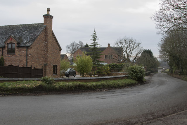
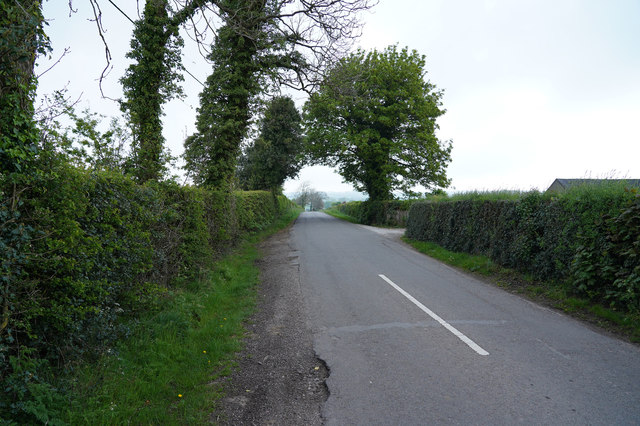
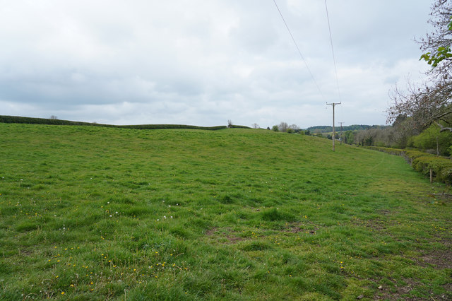
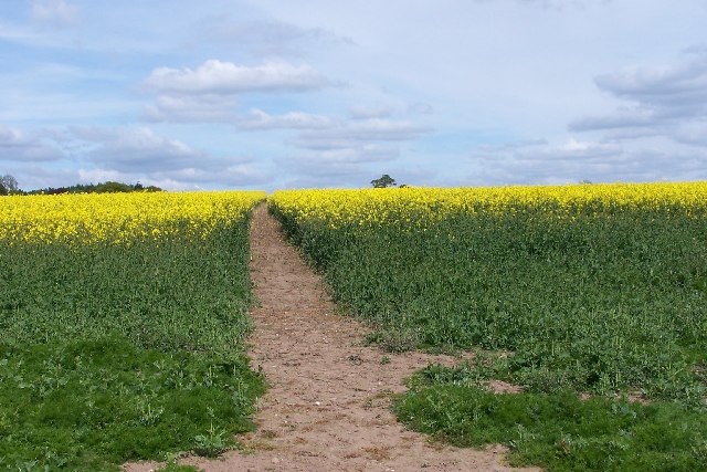
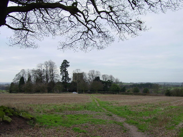
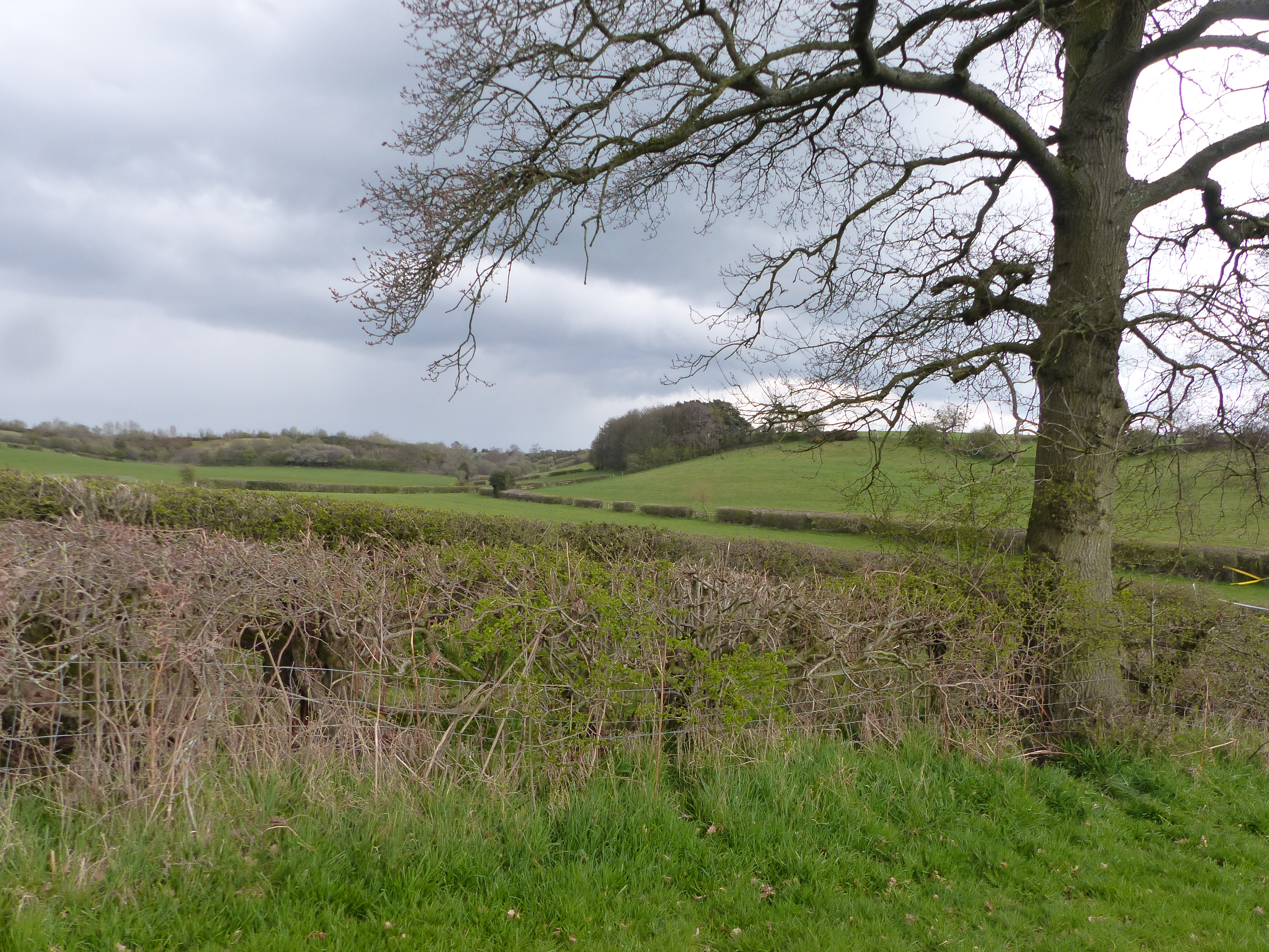
Brailsford is a small village located in the southern part of Derbyshire, England. Situated approximately 10 miles west of the city of Derby, it falls within the administrative boundaries of the Derbyshire Dales district. The village is nestled amidst picturesque countryside, surrounded by rolling hills and farmland, making it an idyllic location for those seeking a peaceful and rural setting.
With a population of around 1,200 residents, Brailsford maintains a close-knit community atmosphere. The village features a range of amenities to cater to the needs of its inhabitants, including a primary school, a village hall, a post office, and a local convenience store. Additionally, there are several charming pubs and restaurants that offer a welcoming environment for locals and visitors alike.
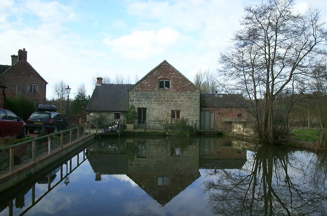
Brailsford is known for its rich history, with evidence of human settlement in the area dating back to the Iron Age. The village is home to the Grade II listed All Saints Church, a stunning medieval building that serves as a focal point for the community and attracts visitors with its architectural charm.
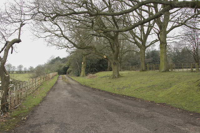
For outdoor enthusiasts, Brailsford offers ample opportunities for exploration and leisure activities. The surrounding countryside provides scenic walking and cycling trails, allowing visitors to immerse themselves in the natural beauty of the area. Furthermore, the nearby Carsington Water, a large reservoir, provides opportunities for water sports, fishing, and birdwatching.
Overall, Brailsford is a quintessential English village that offers a tranquil setting, a strong sense of community, and plenty of opportunities for outdoor pursuits.
If you have any feedback on the listing, please let us know in the comments section below.
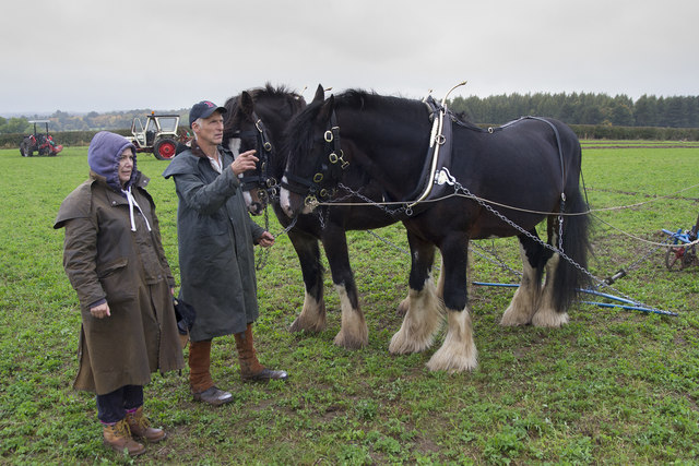
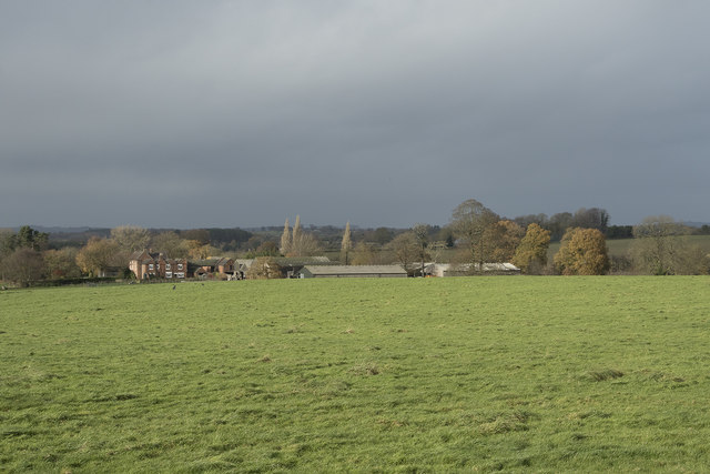
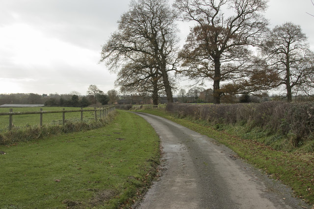
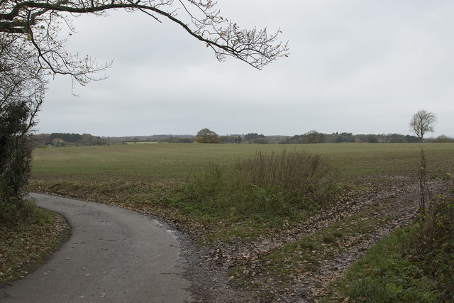
Brailsford Images
Images are sourced within 2km of 52.969874/-1.623896 or Grid Reference SK2541. Thanks to Geograph Open Source API. All images are credited.


Brailsford is located at Grid Ref: SK2541 (Lat: 52.969874, Lng: -1.623896)
Administrative County: Derbyshire
District: Derbyshire Dales
Police Authority: Derbyshire
What 3 Words
///present.invisible.risen. Near Ashbourne, Derbyshire
Nearby Locations
Related Wikis

Brailsford
Brailsford (52°58′16″N 1°37′26″W) is a small red-brick village and civil parish in Derbyshire on the A52 midway between Derby and Ashbourne. The parish...
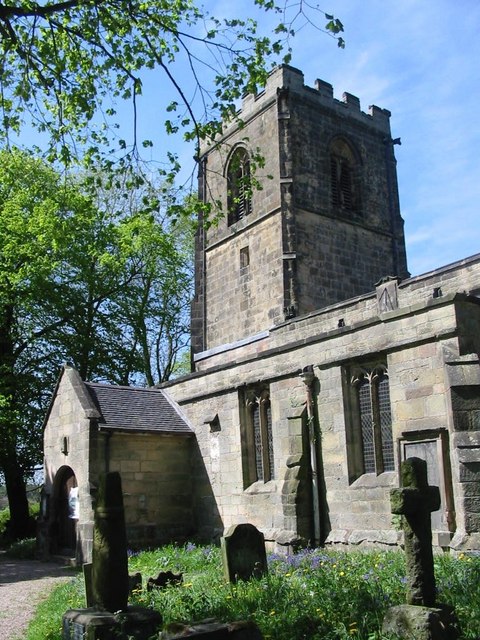
All Saints' Church, Brailsford
All Saints’ Church, Brailsford is a Grade I listed parish church in the Church of England in Brailsford, Derbyshire. == History == The church dates from...

Ednaston Manor
Ednaston Manor is a country house in Ednaston, near Brailsford, Derbyshire, England. It was built in 1912–19 in a Queen Anne style by Edwin Lutyens, for...
Mercaston
Mercaston is a hamlet in Derbyshire, England. It is located in the Peak District 7 miles west of Duffield. It is in the civil parish of Hulland Ward. In...
Mercaston Hall
Mercaston Hall is a 16th-century timber framed farmhouse within the hamlet of Mercaston, near the market town of Ashbourne, Derbyshire, England. It is...

Hollington, Derbyshire
Hollington is a village and civil parish near the town of Uttoxeter and 5.5 miles (8.9 km) from the city of Derby, in the English county of Derbyshire...
Ravensdale Park
Ravensdale Park is a civil parish in the Derbyshire Dales district of Derbyshire roughly 3 miles (5 km) WSW of Belper, Derbyshire, England, midway between...

All Saints' Church, Mugginton
All Saints’ Church, Mugginton is a Grade I listed parish church in the Church of England in Weston Underwood, Derbyshire. == History == The church dates...
Nearby Amenities
Located within 500m of 52.969874,-1.623896Have you been to Brailsford?
Leave your review of Brailsford below (or comments, questions and feedback).