Westgate
Settlement in Norfolk North Norfolk
England
Westgate

Westgate is a neighborhood located in Norfolk, a city in the southeastern part of the Commonwealth of Virginia. Situated on the western side of the city, Westgate is bordered by several other neighborhoods, including Ingleside, Talbot Park, and Edgewater. Its geographical coordinates are 36.8952° N latitude and 76.3035° W longitude.
Westgate is primarily a residential area, known for its quiet and family-friendly atmosphere. The neighborhood features a diverse mix of housing options, ranging from single-family homes to townhouses and apartments. The architecture in Westgate varies, with a combination of older, established properties and newer developments.
Residents of Westgate enjoy easy access to various amenities and services. Just a short drive away, there are numerous shopping centers, supermarkets, restaurants, and entertainment venues. The neighborhood is also in proximity to several parks, including the popular Poplar Hall Park, which offers recreational facilities such as playgrounds, sports fields, and walking trails.
In terms of transportation, Westgate benefits from its location near major roadways, including Interstate 64 and Route 13. This allows for convenient commuting to other parts of Norfolk as well as access to neighboring cities. Additionally, public transportation options are available, with several bus routes passing through the area.
Overall, Westgate offers a peaceful and well-connected residential community in Norfolk, providing its residents with a comfortable and convenient place to call home.
If you have any feedback on the listing, please let us know in the comments section below.
Westgate Images
Images are sourced within 2km of 52.921867/0.940202 or Grid Reference TF9740. Thanks to Geograph Open Source API. All images are credited.


Westgate is located at Grid Ref: TF9740 (Lat: 52.921867, Lng: 0.940202)
Administrative County: Norfolk
District: North Norfolk
Police Authority: Norfolk
What 3 Words
///embraced.scornful.gangs. Near Wells-next-the-Sea, Norfolk
Related Wikis

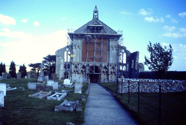
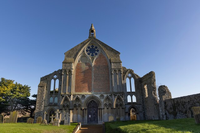
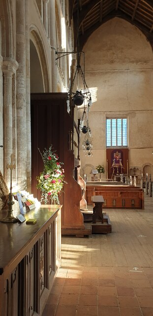
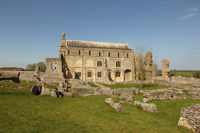
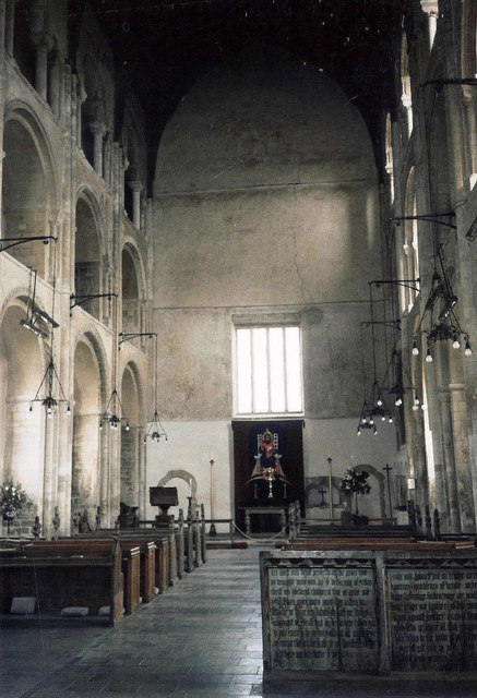
Binham Priory
St Mary's Priory, Binham, or Binham Priory, is a ruined Benedictine priory located in the village of Binham in the English county of Norfolk. Today the...

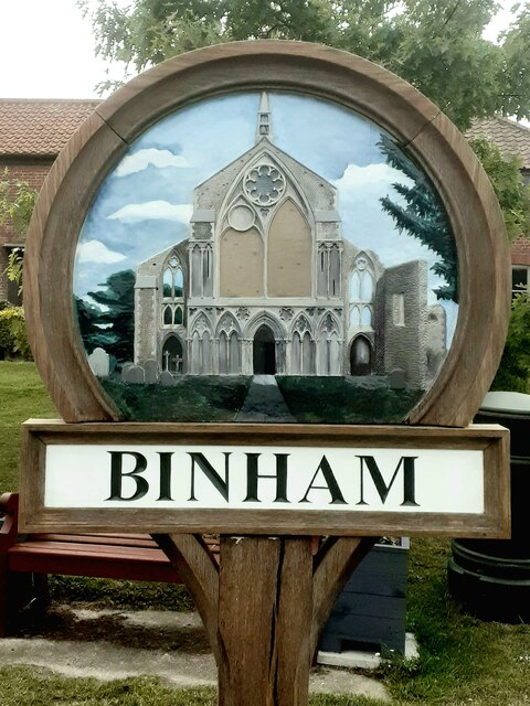
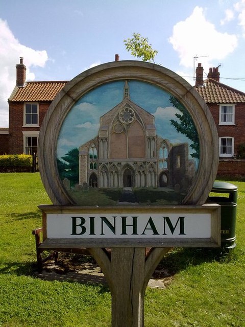
Binham
Binham is a village and a civil parish in the English county of Norfolk. The village is 29.3 miles (47.2 km) north west of Norwich, 16.9 miles (27.2 km...
Cockthorpe
Cockthorpe is a village and former civil parish, now in the parish of Binham, in the North Norfolk district, in the county of Norfolk, England. It is 5...
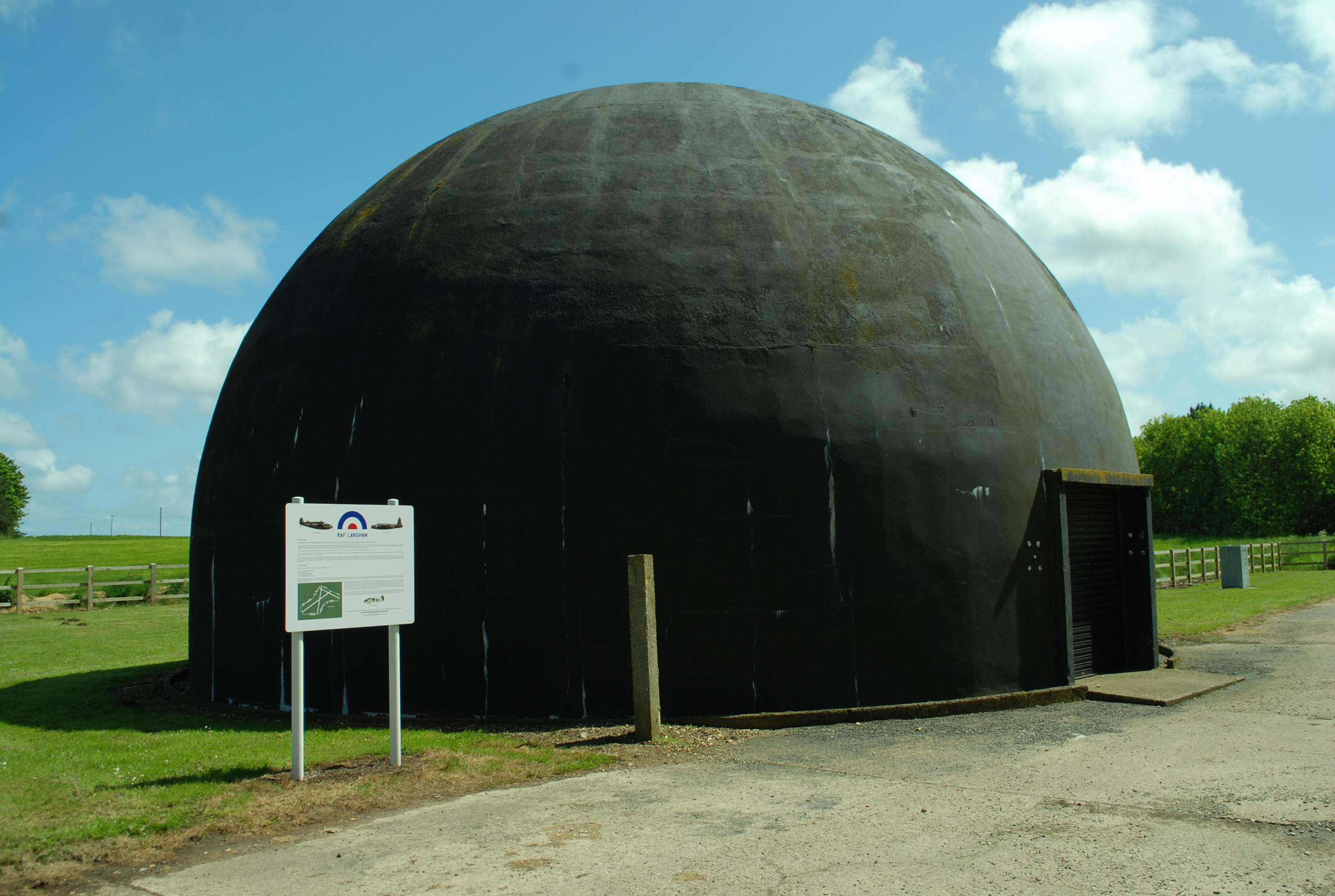
RAF Langham
Royal Air Force Langham or more simply RAF Langham is a former Royal Air Force station, located at Langham, 27.2 miles (43.8 km) northwest of Norwich in...
Nearby Amenities
Located within 500m of 52.921867,0.940202Have you been to Westgate?
Leave your review of Westgate below (or comments, questions and feedback).