Worthing, West
Settlement in Sussex Worthing
England
Worthing, West

Worthing is a coastal town located in West Sussex, England. Situated on the south coast, it lies between the larger cities of Brighton to the east and Chichester to the west. With a population of approximately 110,000 people, it is the largest town in West Sussex.
Known for its beautiful coastline, Worthing boasts a long stretch of pebble and sandy beach, which is a popular destination for locals and tourists alike. The town is also surrounded by the picturesque South Downs National Park, offering stunning views and ample opportunities for outdoor activities such as hiking and cycling.
Worthing has a rich history, with evidence of human habitation dating back to the Stone Age. The town grew significantly during the Victorian era, becoming a popular seaside resort due to its mild climate and therapeutic seawater. This Victorian heritage is evident in the town's architecture, with many grand buildings and promenades still intact.
In terms of amenities, Worthing has a vibrant town center with a mix of independent shops, high-street retailers, and a variety of restaurants, cafes, and bars. The town also hosts a range of cultural events and festivals throughout the year, including the Worthing International Birdman competition and the Worthing Festival.
Transport links in Worthing are excellent, with regular train services to London and other major cities, as well as good road connections via the A27 and A24. Additionally, the town benefits from a reliable local bus service, making it easily accessible for both residents and visitors.
Overall, Worthing offers a wonderful combination of natural beauty, a rich history, and a thriving town center, making it a desirable place to live or visit along the West Sussex coast.
If you have any feedback on the listing, please let us know in the comments section below.
Worthing, West Images
Images are sourced within 2km of 50.812025/-0.39324492 or Grid Reference TQ1302. Thanks to Geograph Open Source API. All images are credited.


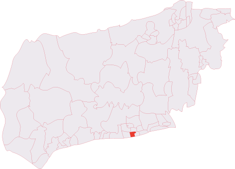
Worthing, West is located at Grid Ref: TQ1302 (Lat: 50.812025, Lng: -0.39324492)
Administrative County: West Sussex
District: Worthing
Police Authority: Sussex
What 3 Words
///humans.flags.happen. Near Worthing, West Sussex
Nearby Locations
Related Wikis
Worthing West (electoral division)
Worthing West is an electoral division of West Sussex in England, and returns one member to sit on West Sussex County Council. == Extent == The division...
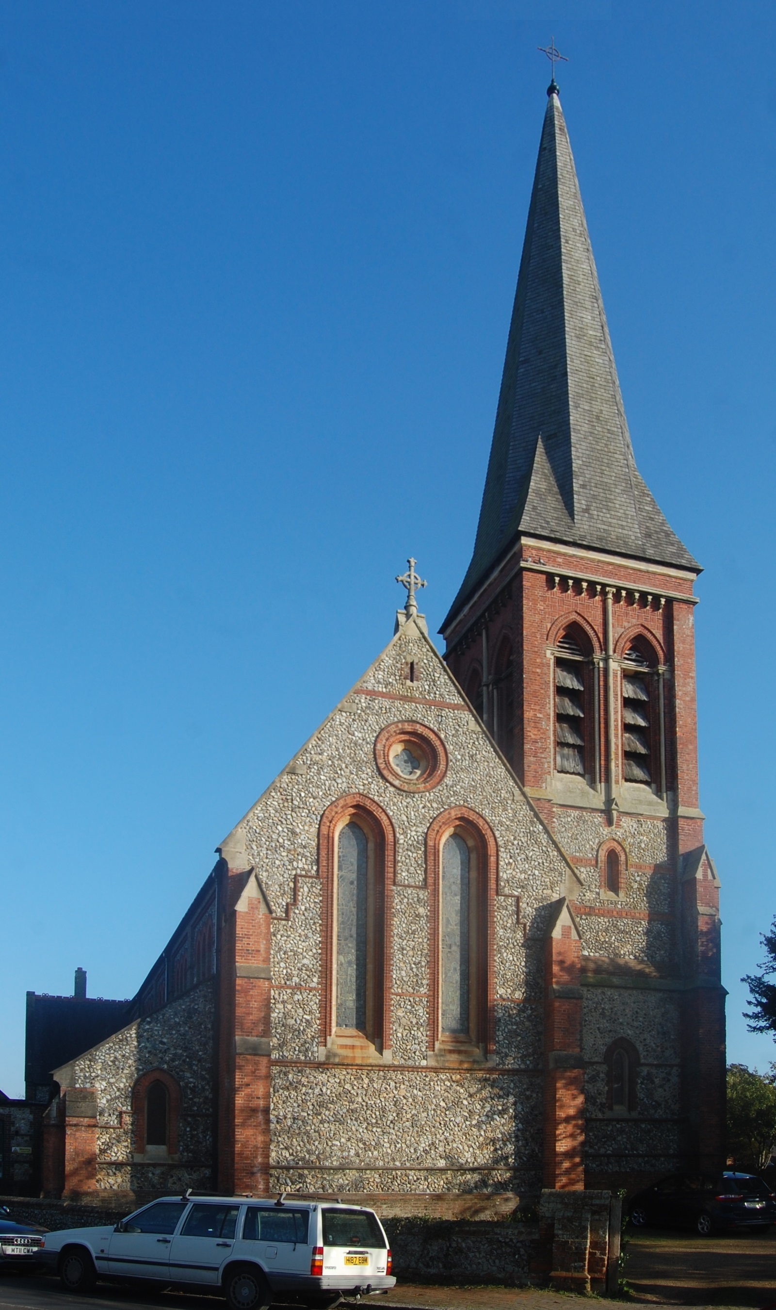
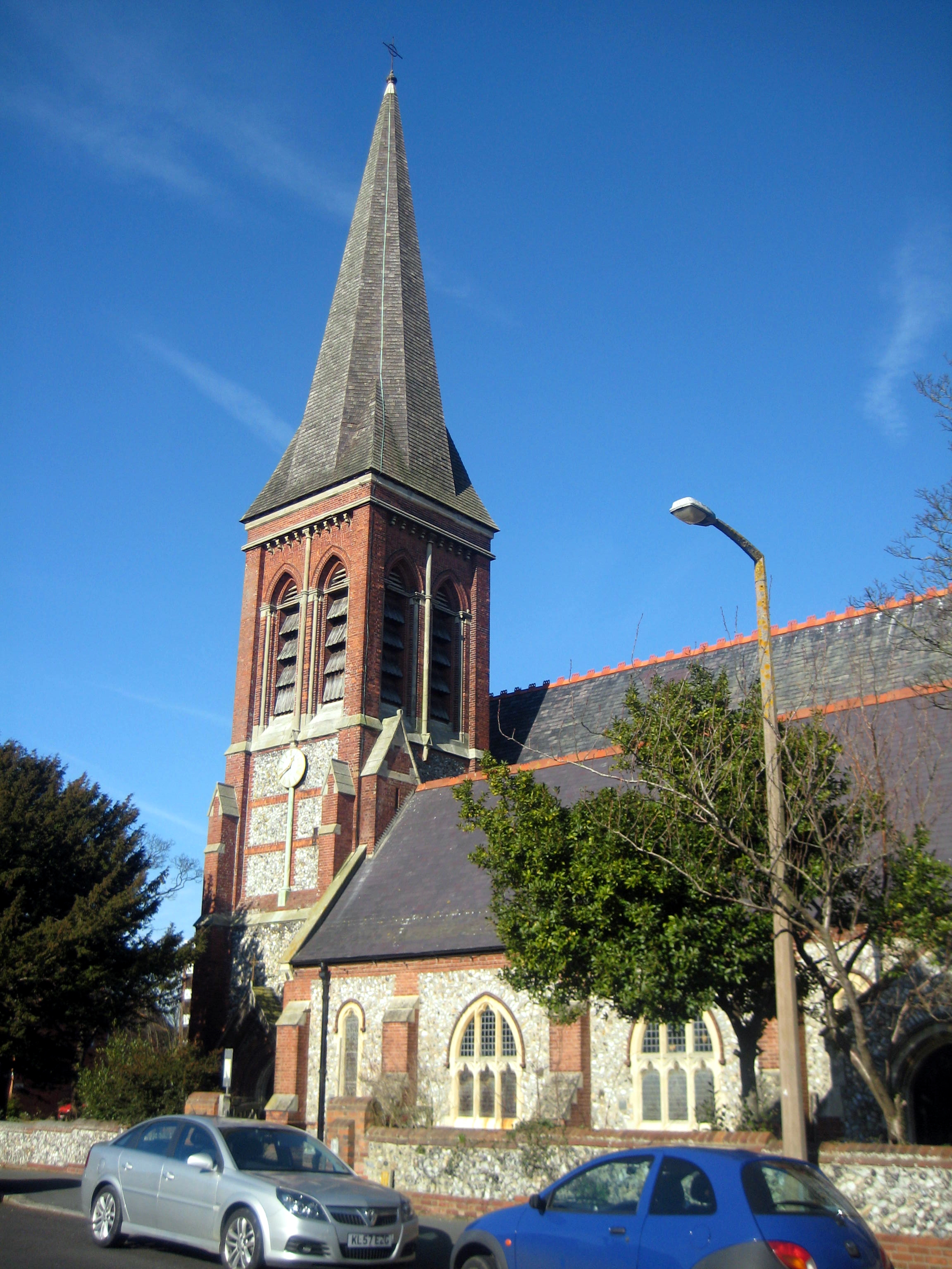
St Botolph's Church, Heene
St Botolph's Church is an Anglican church in the Heene area of the borough of Worthing, one of seven local government districts in the English county of...
West Worthing
West Worthing is a neighbourhood of Worthing in West Sussex, England that was developed within Heene and later expanded beyond Heene's boundaries. Intended...
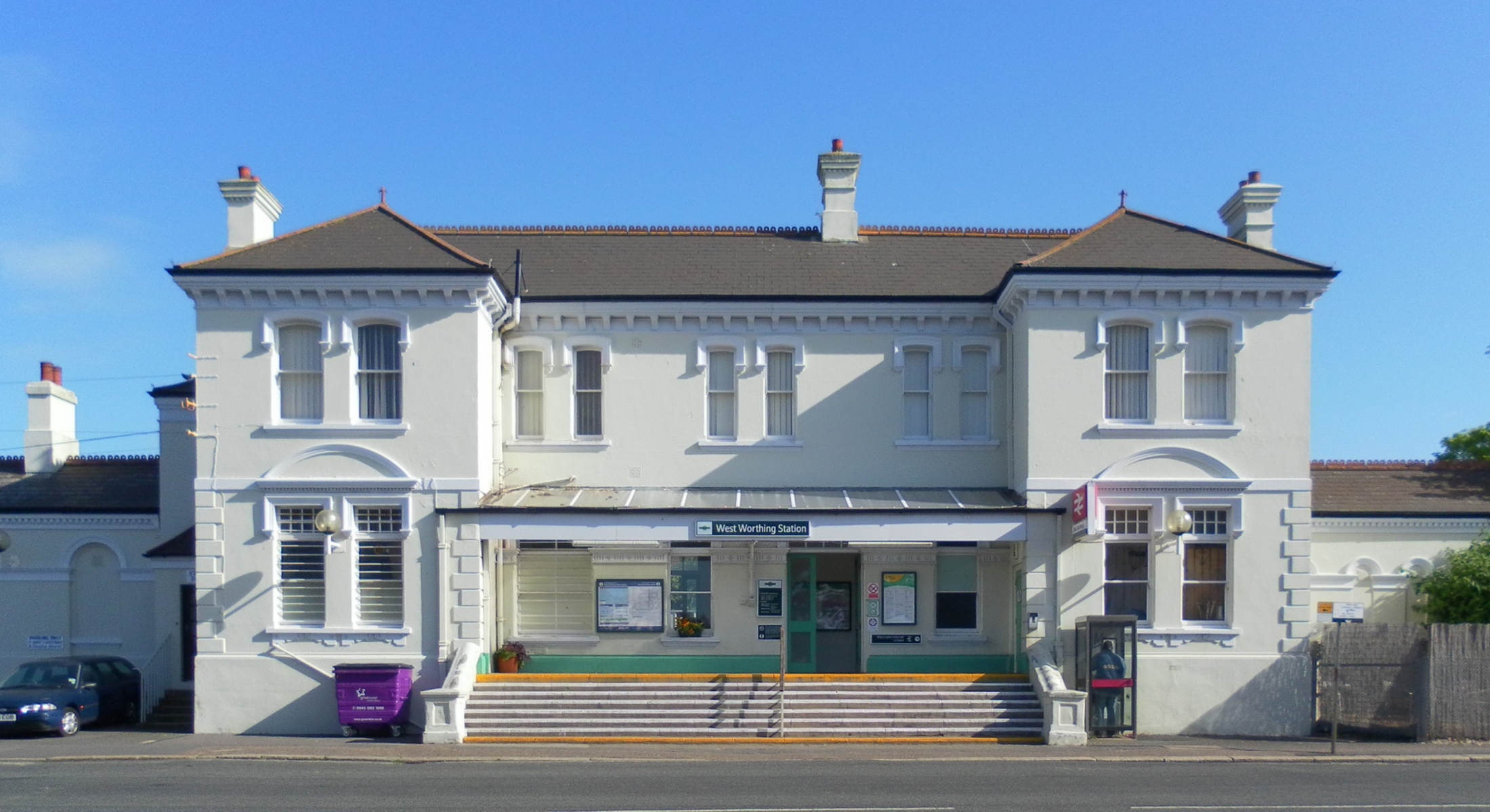
West Worthing railway station
West Worthing railway station is one of five stations serving the town of Worthing in the county of West Sussex, England. (The other stations being Worthing...
Nearby Amenities
Located within 500m of 50.812025,-0.39324492Have you been to Worthing, West?
Leave your review of Worthing, West below (or comments, questions and feedback).