Bradwell

Settlement in Derbyshire Derbyshire Dales

England

Bradwell

Dry Stone Wall and Stile, Tophole Road
Dry Stone Wall and Stile, Tophole Road Credit: David Dixon

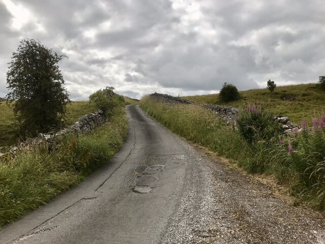
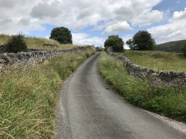
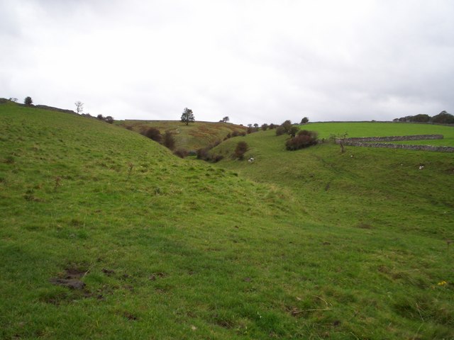
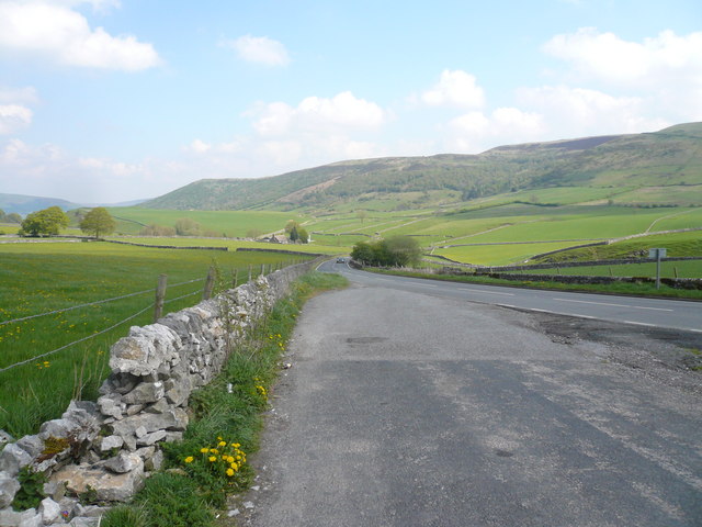
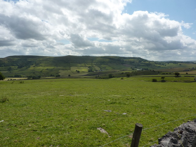
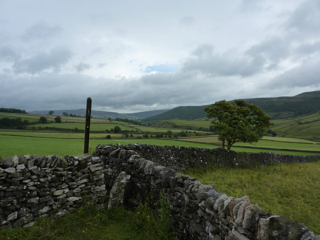
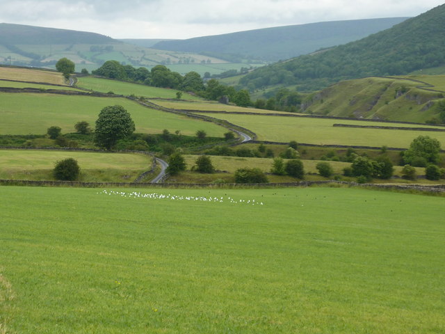
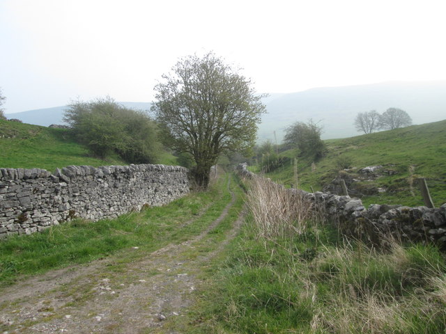
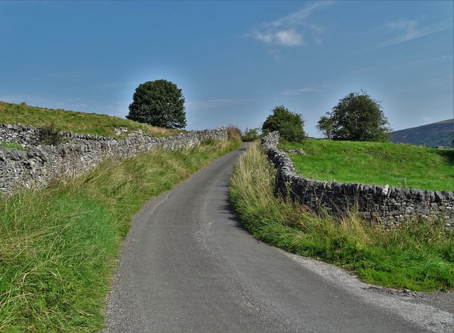
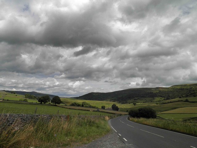
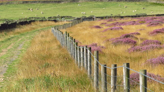
Bradwell is a small village located in the county of Derbyshire, in the East Midlands region of England. Nestled within the Peak District National Park, it is situated about 10 miles northwest of the city of Sheffield. The village is surrounded by picturesque landscapes, with rolling hills, lush green fields, and enchanting woodlands.

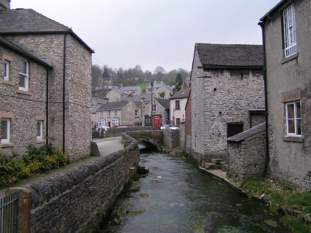
With a population of around 1,500 residents, Bradwell exudes a tranquil and close-knit community atmosphere. The village is renowned for its charming stone-built cottages and traditional architecture, which adds to its idyllic rural character. The village center features a range of amenities, including a post office, shops, and a few pubs, providing residents with essential services and a place to socialize.

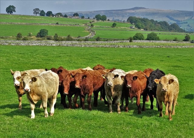
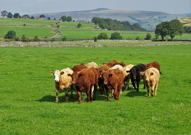
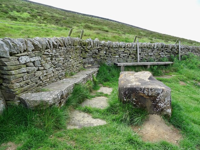
Bradwell boasts a rich history that can be traced back to medieval times. Notable landmarks include the St. Barnabas Church, a Grade II listed building dating back to the 13th century, and the nearby Bradwell Moor, an area of common land used for grazing livestock.

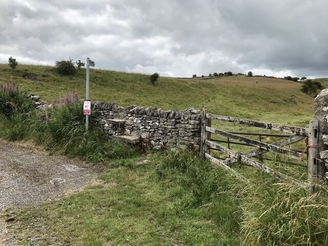
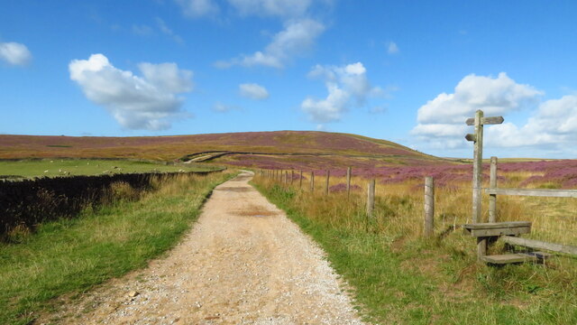
Outdoor enthusiasts are drawn to Bradwell due to its proximity to the breathtaking landscapes of the Peak District National Park. The village serves as an excellent base for hiking, cycling, and exploring the surrounding natural beauty. Popular destinations in the vicinity include the Great Ridge, Mam Tor, and the beautiful Ladybower Reservoir.

Overall, Bradwell offers a peaceful and scenic retreat for both residents and visitors, combining a rich history with stunning natural surroundings.

If you have any feedback on the listing, please let us know in the comments section below.

Bradwell Images

Images are sourced within 2km of 53.327129/-1.740126 or Grid Reference SK1781. Thanks to Geograph Open Source API. All images are credited.

Dry Stone Wall and Stile, Tophole Road
Tophole Road Tophole Road is a narrow road to south of the village of Bradwell.
Tophole Road
Tophole Road is a narrow road to south of the village of Bradwell.
Greendale, Tophole Road Tophole Road is a narrow road to south of the village of Bradwell.
Greendale, Tophole Road
Tophole Road is a narrow road to south of the village of Bradwell.
Intake Dale Intake Dale pictured here on a breezy Saturday afternoon in October. This is a comparatively minor dale although it is designated Access Land.
Intake Dale
Intake Dale pictured here on a breezy Saturday afternoon in October. This is a comparatively minor dale although it is designated Access Land.
View down New Road (B6049)
Intake Dale
Intake Dale
Durham Edge Fields with the moors of Abney in the distance.
Durham Edge
Fields with the moors of Abney in the distance.
On a path to Intake Dale Walking south from Coplow Dale towards Bradwell, the path soon joins Tophole Road. It's a day of sunshine and showers. Win Hill is to the left of the post, on the horizon.
On a path to Intake Dale
Walking south from Coplow Dale towards Bradwell, the path soon joins Tophole Road. It's a day of sunshine and showers. Win Hill is to the left of the post, on the horizon.
Gulls in a field near Intake Dale They are just about to take off as we approach. Poor gulls, so far from the sea in landlocked Derbyshire !
Gulls in a field near Intake Dale
They are just about to take off as we approach. Poor gulls, so far from the sea in landlocked Derbyshire !
Green Dale
Green Dale
Young cattle by Tophole Road Tophole Road is an old lead mining track that winds itself over the hill to Bradwell. You can see it beyond the cattle with Win Hill on the horizon.
Young cattle by Tophole Road
Tophole Road is an old lead mining track that winds itself over the hill to Bradwell. You can see it beyond the cattle with Win Hill on the horizon.
Derbyshire cattle In a field south of Bradwell near the junction of Tophole Road and New Road. Win Hill can be seen in the distance.
Derbyshire cattle
In a field south of Bradwell near the junction of Tophole Road and New Road. Win Hill can be seen in the distance.
Tophole Road at Greendale This narrow lane is a remnant of the age of lead mining in this district of Derbyshire.
Tophole Road at Greendale
This narrow lane is a remnant of the age of lead mining in this district of Derbyshire.
Tophole view From Tophole Road looking towards Durham Edge and hang-gliders taking off.
Tophole view
From Tophole Road looking towards Durham Edge and hang-gliders taking off.
New Road Bradwell Dale
Seating area by Brough Lane at a footpath junction Since <a href="https://www.geograph.org.uk/photo/2873528">SK1880 : Track and footpath junction</a> was taken, a length of wall and a seating area have been built.
Seating area by Brough Lane at a footpath junction
Since SK1880 : Track and footpath junction was taken, a length of wall and a seating area have been built.
Track & path jct NW end of Duper Lane, Abney
View SW towards northern end of Duper Lane, Abney
Show me another place!

Bradwell is located at Grid Ref: SK1781 (Lat: 53.327129, Lng: -1.740126)

Administrative County: Derbyshire

District: Derbyshire Dales

Police Authority: Derbyshire

What 3 Words

///baked.mixers.chosen. Near Hope Valley, Derbyshire

Related Wikis

Bradwell, Derbyshire

Bradwell is a village and civil parish in the Derbyshire Peak District of England. The population of the civil parish taken at the 2011 Census was 1,416...

St Barnabas' Church, Bradwell

St Barnabas' Church, Bradwell is a Grade II listedparish church in the Church of England in Bradwell, Derbyshire. == History == The church was designed...

Bradwell Brook

Bradwell Brook is a stream in the Derbyshire Peak District, originating in Bradwell, in a cave known as Bagshawe Resurgence. == Background == Bradwell...
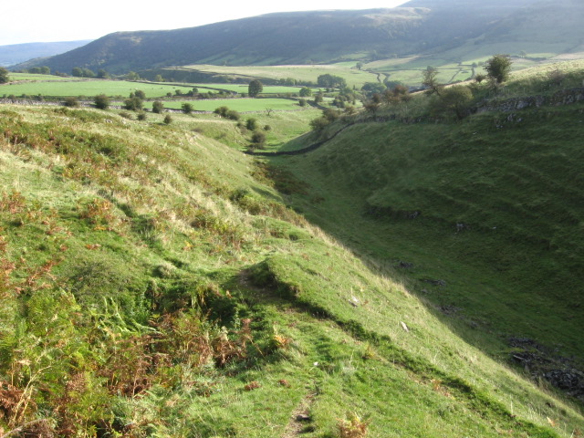
Grey Ditch

The Grey Ditch, near Bradwell in the Peak District is a linear earthwork of post-Roman date. The dyke is built at right angles to the Batham Gate, a Roman...

Hazlebadge

Hazlebadge is a civil parish within the Derbyshire Dales district, in the county of Derbyshire, England. Largely rural, Hazlebadge's population is reported...

Hope Cement Works

Hope Cement Works, is a cement plant located near to the village of Hope in Derbyshire, England. The plant is mostly self-contained with its own shale...

Deadman's Clough

Deadman's Clough is a stream in the civil parish of Hazlebadge in the Derbyshire Peak District. The stream rises to the south of Bradwell, where it meets...
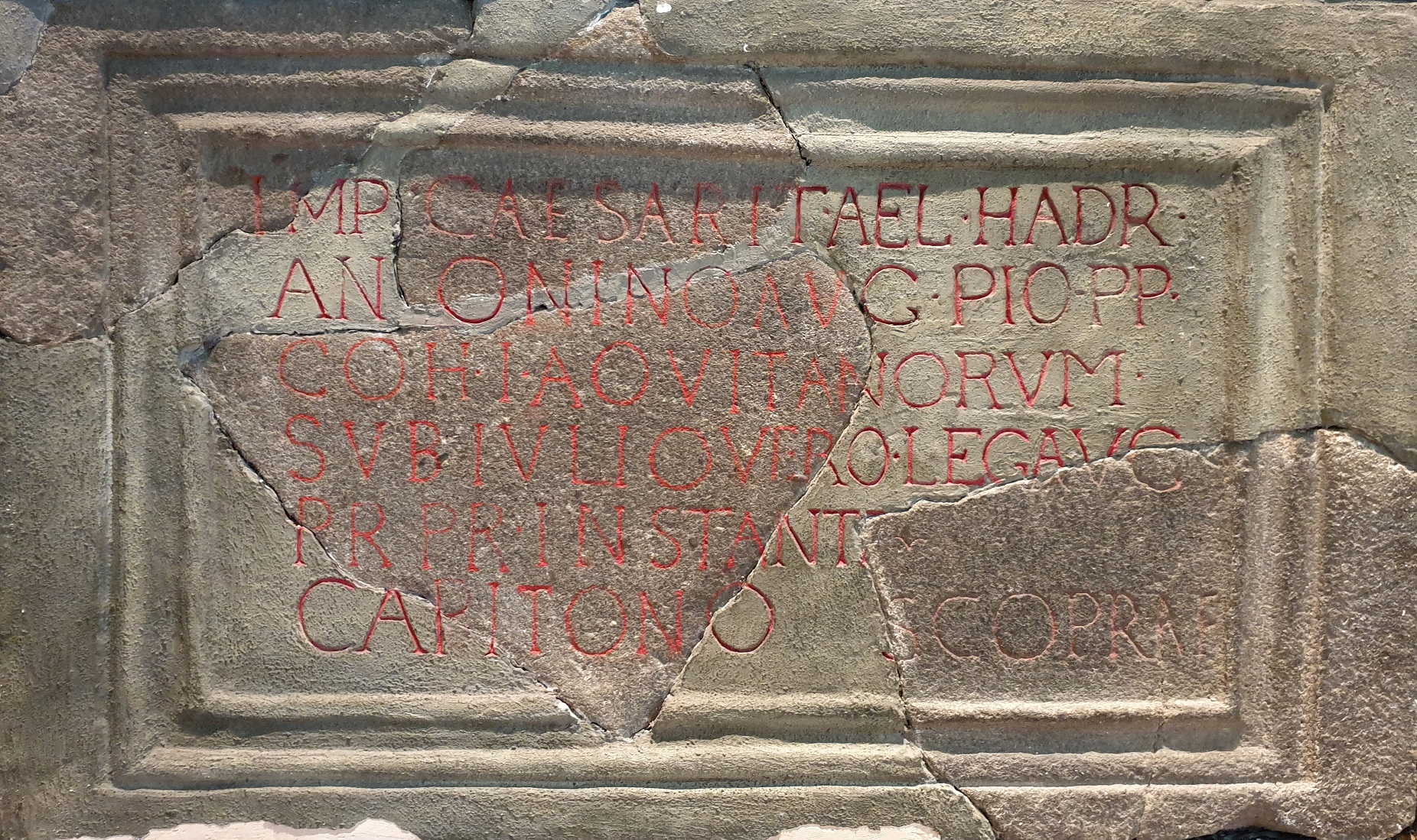
Navio Roman Fort

Navio Roman fort overlooks a tight bend of the River Noe at Brough-on-Noe near Hope, Derbyshire, in England. Navio fort and vicus (civilian settlement...

Nearby Amenities

Located within 500m of 53.327129,-1.740126
Bradwell
Is In: Derbyshire, England, UK
Place: village
Source: npe
Wikidata: Q2467800
Wikipedia: en:Bradwell, Derbyshire
Lat/Long: 53.3273166/-1.7411554
Bradwell (Church)
Bus: yes
Public Transport: stop_position
Lat/Long: 53.325542/-1.739374
Post Box
Collection Times: Mo-Fr 16:00
Operator: Royal Mail
Ref: S33 437
Lat/Long: 53.3283396/-1.7413662
Post Box
Collection Times: Mo-Fr 09:00; Sa 07:00
Operator: Royal Mail
Ref: S33 438
Royal Cypher: VR
Royal Cypher Wikidata: Q33102356
Lat/Long: 53.3253684/-1.7384316
Post Box
Operator: Royal Mail
Post Box Type: wall
Ref: S33 156
Lat/Long: 53.3271304/-1.742804
Post Box
Collection Times: Mo-Fr 09:00; Sa 07:00
Operator: Royal Mail
Post Box Type: lamp
Ref: S33 184D
Royal Cypher: EIIR
Royal Cypher Wikidata: Q33102113
Lat/Long: 53.3302996/-1.7435829
Bagshaw Cavern
Tourism: attraction
Lat/Long: 53.3243783/-1.7434284
Bench
Ele: 186.1395264
Lat/Long: 53.3246261/-1.7396829
Ele: 186.6202393
Lat/Long: 53.3242326/-1.7398955
Bench
Ele: 189.2639160
Lat/Long: 53.3270099/-1.7422042
Pub
White Hart
Ele: 187.5814209
Note Real Ale: On all the time?
Real Ale: Greene King IPA, Morland, Abbot
Wikidata: Q26403693
Lat/Long: 53.3271574/-1.7420647
Defibrillator
Access: yes
Booth: K6
Check Date: 2023-03-07
Covered: booth
Defibrillator Location: In old red telephone box. at the bottom of Towngate, Bradwell
Disused Amenity: telephone
Ele: 177.9683838
Emergency: defibrillator
Indoor: no
Man Made: telephone_box
Ref GB The Circuit: B5F6A479-F07D-436C-9B4F-ABB8011FAD4A
Lat/Long: 53.326784/-1.74067
Police
Lat/Long: 53.3284511/-1.7410546
Co-op Food
Addr City: Hope Valley
Addr Postcode: S33 9JL
Addr Street: Netherside
Addr Suburb: Bradwell
Brand: Co-op Food
Brand Wikidata: Q3277439
Operator: The Co-operative Group
Operator Wikidata: Q117202
Phone: +44 1433 620429
Shop: supermarket
Website: https://www.coop.co.uk/store-finder/S33-9JL/netherside
Lat/Long: 53.3277014/-1.7404001
Addr City: Hope Valley
Addr Postcode: S33 9JL
Addr Street: Netherside
Addr Suburb: Bradwell
Phone: +44 1433 621533
Shop: hairdresser
Lat/Long: 53.3278898/-1.7405106
Fixme: precise position of change in speed limit not recorded
Lat/Long: 53.3242887/-1.7397371
Fast Food
Bradwell Fish and chips
Cuisine: fish_and_chips
Source: survey
Lat/Long: 53.3285146/-1.7415534
Toilets
Source: survey
Lat/Long: 53.3266741/-1.7405221
Traffic Signals
Source: survey
Lat/Long: 53.3270334/-1.7398892
Traffic Signals
Source: survey
Lat/Long: 53.3266098/-1.7396284
Traffic Signals
Source: survey
Lat/Long: 53.3271173/-1.7401949
Traffic Signals
Source: survey
Lat/Long: 53.3273562/-1.7403474
Post Office
Bradwell Post Office
Addr City: Hope Valley
Addr Housenumber: 8
Addr Postcode: S33 9AA
Addr Street: Netherside
Addr Suburb: Bradwell
Brand: Post Office
Brand Wikidata: Q1783168
Opening Hours: Mo-Fr 07:00-17:30; Sa 07:00-12:30; Su 07:00-12:00
Ref Pol Id: 24405
Source: survey
Website: https://www.postoffice.co.uk/branch-finder/5743400/bradwell
Lat/Long: 53.3282522/-1.7413222
Bradwell (Memorial Hall)
Bus: yes
Public Transport: stop_position
Lat/Long: 53.3289571/-1.7418181
Fuel
UK
Fuel Diesel: yes
Source: survey
Lat/Long: 53.3287869/-1.7412583
bradwell memorial hall
Historic: memorial
Lat/Long: 53.3288651/-1.7420057
Townhall
Bradwell Memorial Hall
Lat/Long: 53.3289103/-1.7419841
Kindergarten
bradwell play school
Lat/Long: 53.3288155/-1.7421155
Springfields
Natural: spring
Lat/Long: 53.3306214/-1.7398669
Barrier: stile
Material: stone
Source: survey;gps
Stile: squeezer
Lat/Long: 53.3231878/-1.7389892
Barrier: stile
Source: survey;gps
Stile: squeezer
Lat/Long: 53.3277884/-1.7386379
Barrier: stile
Material: stone
Source: survey;gps
Stile: squeezer
Lat/Long: 53.3285367/-1.7374774
Barrier: stile
Material: stone
Source: survey;gps
Stile: squeezer
Lat/Long: 53.3289755/-1.7369979
Barrier: kissing_gate
Source: survey;gps
Lat/Long: 53.3296871/-1.7346257
Barrier: kissing_gate
Lat/Long: 53.3300596/-1.7357522
Addr Housename: Moorlow Tor
Lat/Long: 53.3275454/-1.7442157
Leisure: playground
Lat/Long: 53.3264456/-1.74044
Bus Stop
Bradwell (Memorial Hall)
Bus: yes
Naptan AtcoCode: 1000DBNP1769
Naptan NaptanCode: dbsgmama
Public Transport: platform
Lat/Long: 53.3289318/-1.7419021
Bagshawe Resurgence
Access: permissive
Alt Name: The Yeld;The Lumb
Natural: cave_entrance
Lat/Long: 53.3255437/-1.7401344
Shop: ice_cream
Lat/Long: 53.327125/-1.7402595
Bus Stop
Bradwell (Memorial Hall)
Bus: yes
Naptan AtcoCode: 1000DBNMH246
Naptan NaptanCode: dbsgmajw
Public Transport: platform
Shelter: yes
Lat/Long: 53.3288821/-1.7416346
Bradwell (Memorial Hall)
Bus: yes
Public Transport: stop_position
Lat/Long: 53.3288576/-1.7417093
Bus Stop
Bradwell (Towngate)
Bus: yes
Naptan AtcoCode: 1000DBBS3934
Naptan NaptanCode: dbsjadpa
Public Transport: platform
Lat/Long: 53.326775/-1.740844
Bradwell (Towngate)
Bus: yes
Public Transport: stop_position
Lat/Long: 53.3267652/-1.7407788
Bus Stop
Bradwell (Church)
Bus: yes
Naptan AtcoCode: 1000DBCS3686
Naptan NaptanCode: dbsjagag
Public Transport: platform
Lat/Long: 53.3255661/-1.7394285
Bus Stop
Bradwell (Church)
Bus: yes
Public Transport: platform
Lat/Long: 53.3255372/-1.7393212
Bradwell (Church)
Bus: yes
Public Transport: stop_position
Lat/Long: 53.3255676/-1.7393689
Bench
Lat/Long: 53.3312981/-1.7422311
Shelter
Lat/Long: 53.33094/-1.7420367
Waste Basket
Lat/Long: 53.3268605/-1.7406016
Crossing
Crossing: marked
Lat/Long: 53.3270699/-1.7400183
Bench
Backrest: yes
Lat/Long: 53.3273405/-1.7462438
Parking
4
Lat/Long: 53.3270738/-1.7458801
Barrier: entrance
Lat/Long: 53.3264155/-1.7388885
Fast Food
The Bakehouse
Cuisine: sandwich
Indoor Seating: no
Outdoor Seating: yes
Lat/Long: 53.3276693/-1.7407797
Bradwell Village Shop
Shop: convenience
Lat/Long: 53.3282871/-1.7413505
Bench
Backrest: yes
Lat/Long: 53.3245639/-1.7366971
Waste Basket
Lat/Long: 53.3245888/-1.7366937
Defibrillator
Access: yes
Defibrillator Location: On outside wall next to the entrance.
Emergency: defibrillator
Indoor: no
Lat/Long: 53.3300207/-1.7417605
Defibrillator
Access: yes
Defibrillator Location: On outside wall.
Emergency: defibrillator
Indoor: no
Lat/Long: 53.3285031/-1.7411941
Natural: sinkhole
Lat/Long: 53.3254865/-1.7434202
Bench
Lat/Long: 53.3271728/-1.7402866
Bench
Backrest: yes
Lat/Long: 53.326589/-1.7423091
Leisure: picnic_table
Lat/Long: 53.3272006/-1.7403299
Atm
Lat/Long: 53.3276425/-1.7404802
Drinking Water
Bottle: yes
Lat/Long: 53.3266794/-1.7405453
Bench
Backrest: yes
Lat/Long: 53.3250107/-1.7449104
Welcome to Bradwell
Information: board
Tourism: information
Lat/Long: 53.3268114/-1.7403688
Bench
Source: survey
Lat/Long: 53.3265447/-1.7406517
Bench
Source: survey
Lat/Long: 53.3264414/-1.7406732
Leisure: playground
Lat/Long: 53.3265047/-1.740582
Cafe
Brooks Cafe
Lat/Long: 53.3266256/-1.7405391
Barrier: stile
Lat/Long: 53.3255187/-1.7426788
Barrier: stile
Lat/Long: 53.3255145/-1.7426473
Barrier: stile
Lat/Long: 53.3251869/-1.745027
Barrier: stile
Lat/Long: 53.3251814/-1.7450583
Historic: iron_age_fort
Lat/Long: 53.3226385/-1.7400437
The data included in this document is from www.openstreetmap.org. The data is made available under ODbL.

Have you been to Bradwell?

Leave your review of Bradwell below (or comments, questions and feedback).