Bradway

Settlement in Derbyshire

England

Bradway

Track near Bowshaw farm. The Dronfield 2000 rotary walk.
Track near Bowshaw farm. Credit: steven ruffles

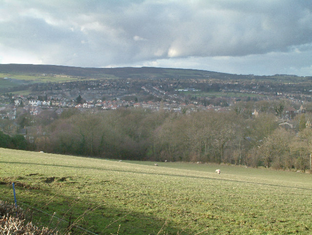
Bradway is a small village located in the county of Derbyshire, England. It is situated approximately five miles south of the city of Sheffield and lies within the administrative area of the City of Sheffield. The village is nestled on the eastern edge of the Peak District National Park, offering residents and visitors access to stunning natural landscapes and outdoor activities.

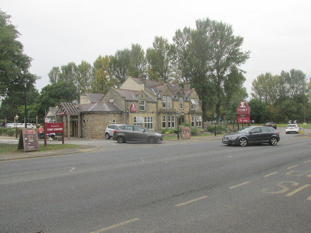
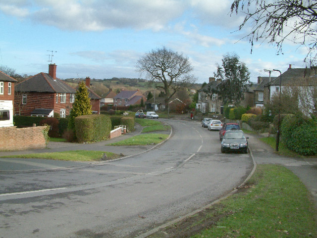
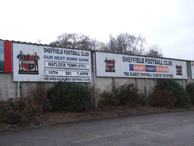
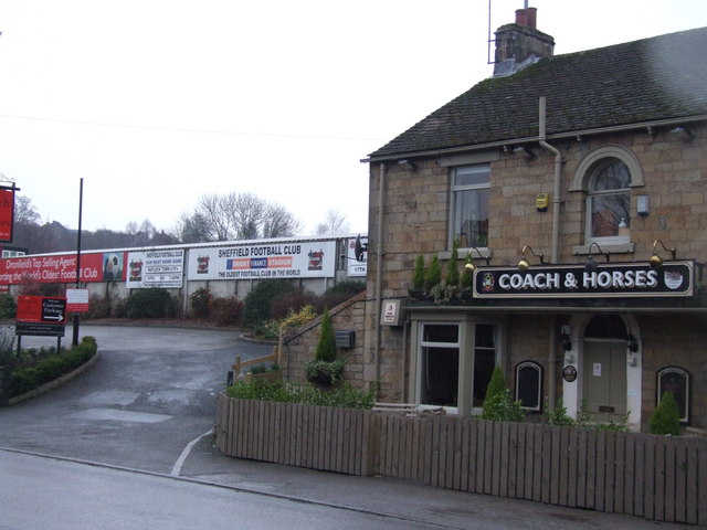
Bradway is a predominantly residential area characterized by picturesque houses and a tight-knit community. The village boasts a range of amenities, including a local convenience store, a post office, and a pub, catering to the needs of its residents. Additionally, Bradway is served by several schools, making it an attractive location for families.

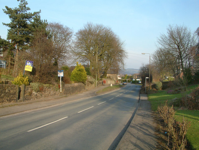
The village is well-connected to neighboring areas by public transportation, with regular bus services providing easy access to Sheffield and other nearby towns. For those who prefer to drive, Bradway benefits from its proximity to major road networks, including the A61 and the M1 motorway, facilitating convenient travel to and from the village.

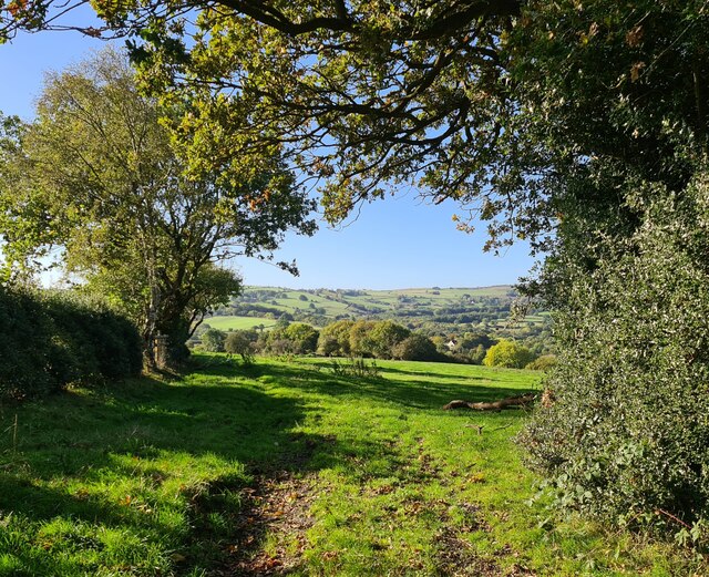
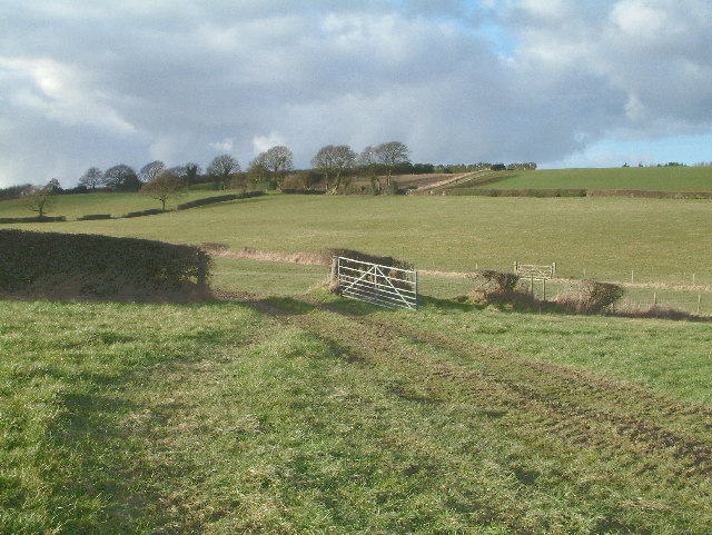
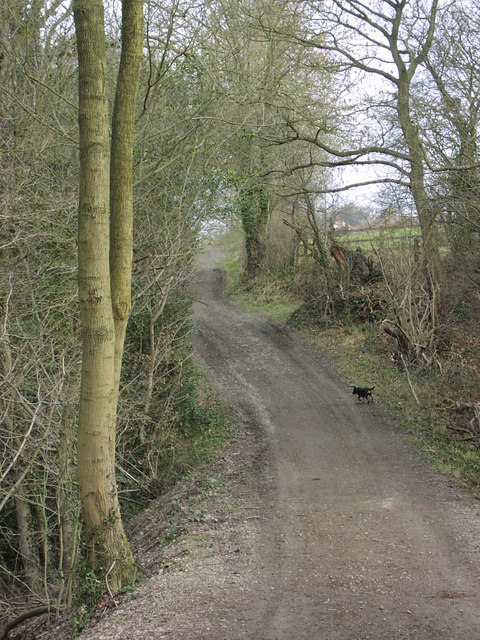
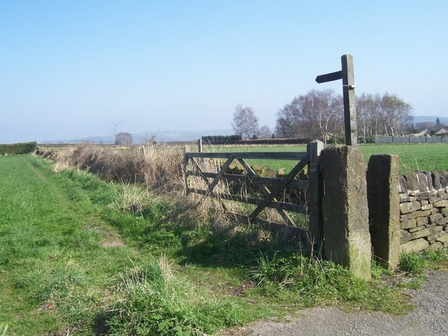
Nature enthusiasts will find plenty to explore in and around Bradway. The area is blessed with beautiful countryside, offering opportunities for hiking, cycling, and enjoying the great outdoors. The village also benefits from its close proximity to the stunning landscapes of the Peak District National Park, where visitors can partake in activities such as rock climbing, horseback riding, and wildlife spotting.

Overall, Bradway offers residents a peaceful and picturesque place to call home, with easy access to both the amenities of a city and the natural beauty of the Peak District.

If you have any feedback on the listing, please let us know in the comments section below.
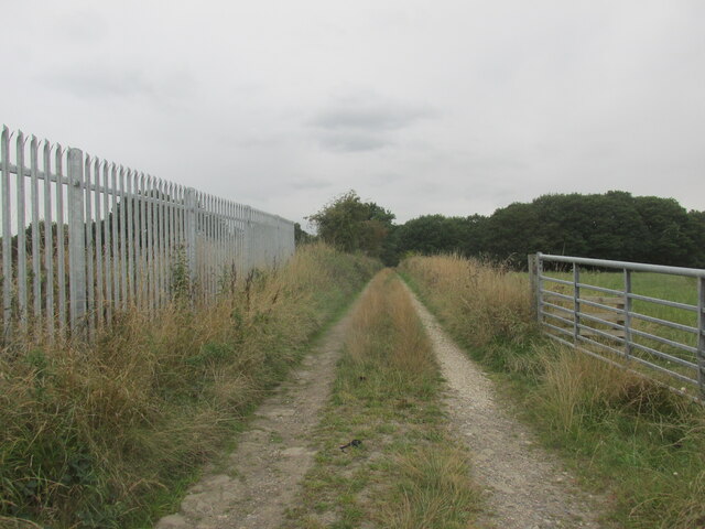
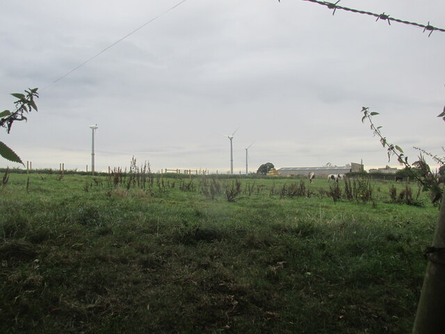
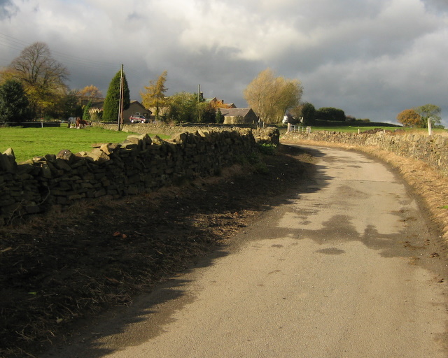
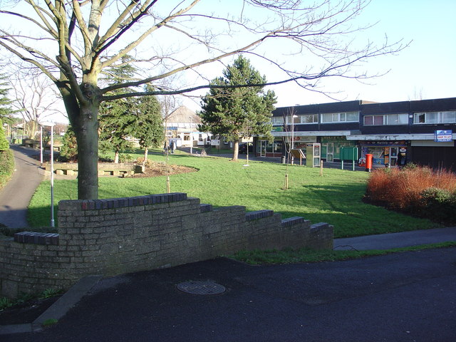
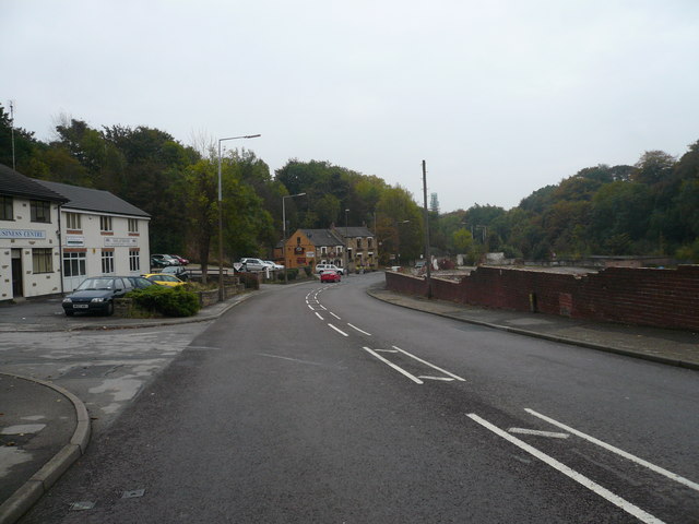
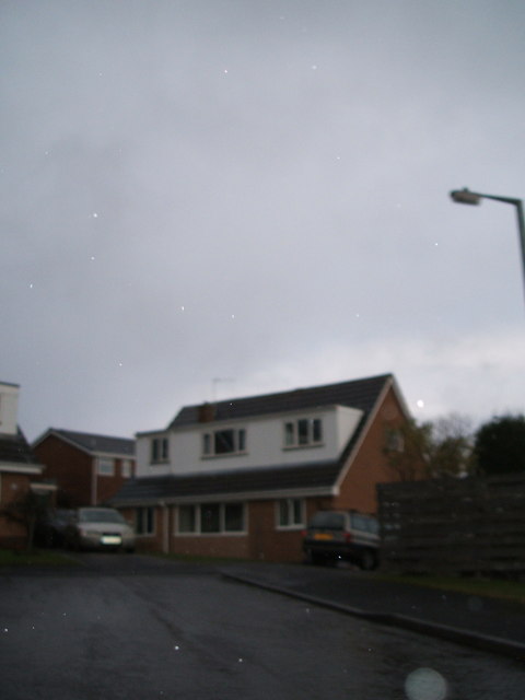
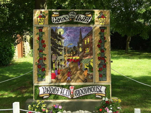
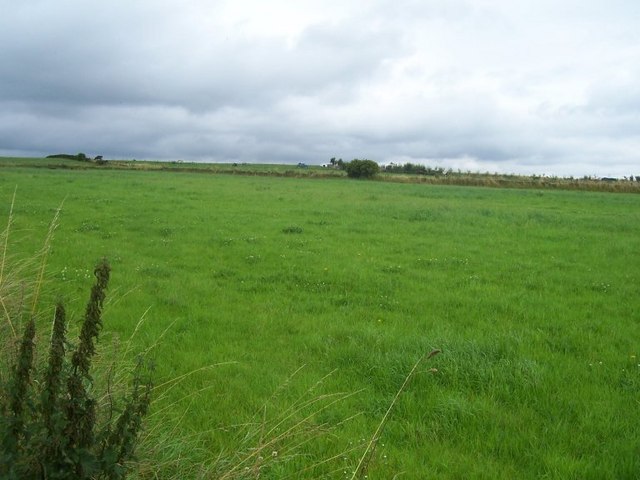
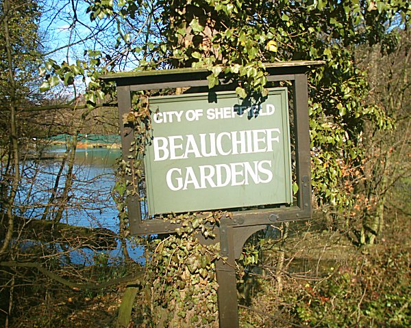
Bradway Images

Images are sourced within 2km of 53.317505/-1.50385 or Grid Reference SK3380. Thanks to Geograph Open Source API. All images are credited.

Track near Bowshaw farm. The Dronfield 2000 rotary walk.
Track near Bowshaw farm.
The Dronfield 2000 rotary walk.
Upper Birchitt farm and wind turbines. Along the Dronfield 2000 rotary walk.
Upper Birchitt farm and wind turbines.
Along the Dronfield 2000 rotary walk.
The Bowshaw pub. Along the road to Dronfield.
The Bowshaw pub.
Along the road to Dronfield.
Looking towards Owler Bar From top of Totley Lane, Bradway
Looking towards Owler Bar
From top of Totley Lane, Bradway
Mickley Lane. This shows the New Totley end of the road which runs through to Mickley.
Mickley Lane.
This shows the New Totley end of the road which runs through to Mickley.
View from Mickley Lane. A view looking out to Totley Rise and beyond from the road running between New Totley and Mickley.
View from Mickley Lane.
A view looking out to Totley Rise and beyond from the road running between New Totley and Mickley.
Near Dronfield Woodhouse. A view looking north west from the Dronfield Woodhouse to Holmsfield road.
Near Dronfield Woodhouse.
A view looking north west from the Dronfield Woodhouse to Holmsfield road.
Carr Lane. The B6056 road heading towards Gosforth Valley.
Carr Lane.
The B6056 road heading towards Gosforth Valley.
Unmade road to Barnes Farm All the fields around here seem to be used for stabling and breeding horses.
Unmade road to Barnes Farm
All the fields around here seem to be used for stabling and breeding horses.
St Andrews Church and Pentland Road Shops, Gosforth Valley A Church strong in the ecumenical tradition with its church school nearby.
St Andrews Church and Pentland Road Shops, Gosforth Valley
A Church strong in the ecumenical tradition with its church school nearby.
Dronfield - Sheffield Road (B6057) This view was taken entering Dronfield from the north, the Greyhound Pub can be seen in the centre of the picture.
Dronfield - Sheffield Road (B6057)
This view was taken entering Dronfield from the north, the Greyhound Pub can be seen in the centre of the picture.
Millstone Close, Dronfield Woodhouse
Sheffield F.C., Dronfield
Coach & Horses, Dronfield
The White Lane, Totley This track runs from Woodthorpe Hall to Mickley Lane in Totley. Here a tributary of the Totley Brook is culverted and marks the boundary between Derbyshire and Yorkshire.
The White Lane, Totley
This track runs from Woodthorpe Hall to Mickley Lane in Totley. Here a tributary of the Totley Brook is culverted and marks the boundary between Derbyshire and Yorkshire.
Footpath from Northern Common
Dappled sunlight Well Dressing on Carr Lane
Dappled sunlight
Well Dressing on Carr Lane
Pasture near Barnes Farm, Dronfield Woodhouse
Show me another place!

Bradway is located at Grid Ref: SK3380 (Lat: 53.317505, Lng: -1.50385)

Unitary Authority: Sheffield

Police Authority: South Yorkshire

What 3 Words

///jams.cups.juror. Near Dronfield, Derbyshire

Nearby Locations

Lower Bradway Bradway

Related Wikis

Nearby Amenities

Located within 500m of 53.317505,-1.50385
Crossing
Crossing: zebra
Crossing Island: no
Tactile Paving: yes
Lat/Long: 53.3182803/-1.5044224
Bradway
Place: suburb
Lat/Long: 53.3185289/-1.5048007
Turning Circle
Lat/Long: 53.316598/-1.5095898
Turning Circle
Source: Bing
Lat/Long: 53.3171626/-1.501598
Crossing
Crossing: zebra
Crossing Island: no
Crossing Ref: zebra
Tactile Paving: yes
Lat/Long: 53.3181244/-1.5044653
Bus Stop
Bradway Road/Bradway Grange Road
Bus: yes
Naptan AtcoCode: 370020417
Naptan Bearing: SW
Naptan CommonName: Bradway Road/Bradway Grange Road
Naptan Indicator: 20417
Naptan Landmark: OPPOSITE NO. 200
Naptan Street: Bradway Road
Naptan Verified: no
Public Transport: platform
Source: naptan_import
Lat/Long: 53.3178284/-1.5055419
Bus Stop
Bradway Road/Greenhill Parkway
Alt Name: Bradway Road/Greenhill Parkway
Bus: yes
Naptan AltCommonName: Bradway Road/Greenhill Parkway
Naptan AtcoCode: 370020419
Naptan Bearing: SW
Naptan CommonName: Bradway Road/Greenhill Parkway
Naptan Indicator: 20419
Naptan Landmark: Dore & Totley Golf Club
Naptan PlusbusZoneRef: ROTHCEN
Naptan Street: Bradway Road
Naptan Verified: no
Public Transport: platform
Source: naptan_import
Lat/Long: 53.319143/-1.5016185
Bus Stop
Bradway Road/Prospect Road
Bench: yes
Bus: yes
Naptan AtcoCode: 370020436
Naptan Bearing: NE
Naptan CommonName: Bradway Road/Prospect Road
Naptan Indicator: 20436
Naptan Landmark: 20436
Naptan PlusbusZoneRef: ROTHCEN
Naptan Street: Bradway Road
Naptan Verified: no
Public Transport: platform
Shelter: yes
Source: naptan_import
Tactile Paving: no
Lat/Long: 53.3172642/-1.5103055
Bus Stop
Bradway Road/Near Conalan Avenue
Bench: no
Bin: no
Bus: yes
Check Date Shelter: 2023-09-29
Naptan AtcoCode: 370020437
Naptan Bearing: NE
Naptan CommonName: Bradway Road/Near Conalan Avenue
Naptan Indicator: 20437
Naptan Landmark: OUTSIDE NO. 226
Naptan PlusbusZoneRef: ROTHCEN
Naptan Street: Bradway Road
Naptan Verified: no
Public Transport: platform
Shelter: no
Source: naptan_import
Lat/Long: 53.3176231/-1.5078536
Bus Stop
Bradway Road/Near Conalan Avenue
Bench: no
Bus: yes
Naptan AtcoCode: 370020438
Naptan Bearing: SW
Naptan CommonName: Bradway Road/Near Conalan Avenue
Naptan Indicator: 20438
Naptan Landmark: Outside House Called Surmount
Naptan PlusbusZoneRef: ROTHCEN
Naptan Street: Bradway Road
Naptan Verified: no
Public Transport: platform
Shelter: no
Source: naptan_import
Tactile Paving: no
Lat/Long: 53.3174931/-1.5083258
Bus Stop
Bradway Road/Prospect Road
Bench: no
Bus: yes
Naptan AtcoCode: 370020439
Naptan Bearing: SW
Naptan CommonName: Bradway Road/Prospect Road
Naptan Indicator: 20439
Naptan Landmark: 20439
Naptan PlusbusZoneRef: ROTHCEN
Naptan Street: Bradway Road
Naptan Verified: no
Public Transport: platform
Shelter: no
Source: naptan_import
Tactile Paving: no
Lat/Long: 53.3171463/-1.5105608
Bus Stop
Bradway Road/Birchitt Road
Bus: yes
Naptan AtcoCode: 370025418
Naptan Bearing: NE
Naptan CommonName: Bradway Road/Birchitt Road
Naptan Indicator: 25418
Naptan Landmark: 25418
Naptan PlusbusZoneRef: ROTHCEN
Naptan Street: Bradway Road
Naptan Verified: no
Public Transport: platform
Source: naptan_import
Lat/Long: 53.3186298/-1.5035533
Turning Circle
Source: Bing
Lat/Long: 53.3203526/-1.5002831
Barrier: stile
Lat/Long: 53.3191628/-1.4992536
Turning Circle
Source: Bing
Lat/Long: 53.3201107/-1.5003717
Stop
Direction: backward
Lat/Long: 53.3170254/-1.5112387
Turning Circle
Source: Bing
Lat/Long: 53.3165532/-1.5005587
Bradway Road/Birchitt Road
Bus: yes
Public Transport: stop_position
Lat/Long: 53.3186067/-1.5034764
Upper Bradway
Place: locality
Lat/Long: 53.3167028/-1.5111269
Give Way
Direction: backward
Lat/Long: 53.3171081/-1.5113427
Post Box
Collection Times: Mo-Fr 17:00; Sa 12:00
Post Box Type: pillar
Ref: S17 155
Royal Cypher: EIIR
Royal Cypher Wikidata: Q33102113
Lat/Long: 53.3182735/-1.504537
Sheffield
Alt Name: North East Derbyshire
Traffic Sign: city_limit
Lat/Long: 53.3160143/-1.510458
Crossing
Crossing: unmarked
Crossing Island: no
Tactile Paving: yes
Lat/Long: 53.3188772/-1.5052332
Restaurant
Lat/Long: 53.3190009/-1.5028981
Atm
Wheelchair: yes
Lat/Long: 53.3191765/-1.5022398
Cafe
Lat/Long: 53.3190589/-1.5027586
Parking
Parking: surface
Lat/Long: 53.319405/-1.5023514
Bench
Lat/Long: 53.3180783/-1.5033492
Car Wash
Lat/Long: 53.3193473/-1.5020403
Dore and Totley golf club
Leisure: sports_centre
Lat/Long: 53.3189115/-1.5013966
Bradway Road/Prospect Road
Bus: yes
Public Transport: stop_position
Lat/Long: 53.3171768/-1.5105732
Bradway Road/Prospect Road
Bus: yes
Public Transport: stop_position
Lat/Long: 53.3172171/-1.5102892
Bradway Road/Near Conalan Avenue
Bus: yes
Public Transport: stop_position
Lat/Long: 53.3175759/-1.5078378
Bradway Road/Near Conalan Avenue
Bus: yes
Public Transport: stop_position
Lat/Long: 53.3175269/-1.5083336
Bradway Road/Bradway Grange Road
Bus: yes
Public Transport: stop_position
Lat/Long: 53.3179226/-1.5055598
Bradway Road/Greenhill Parkway
Bus: yes
Public Transport: stop_position
Lat/Long: 53.3191828/-1.5016535
Defibrillator
Access: customers
Check Date: 2023-03-09
Defibrillator Location: On outside wall of golf clubhouse.
Emergency: defibrillator
Indoor: no
Lat/Long: 53.3188369/-1.5014595
Man Made: survey_point
Lat/Long: 53.3210947/-1.5048007
Entrance: yes
Lat/Long: 53.3191545/-1.5023154
Bench
Lat/Long: 53.320411/-1.5035374
Man Made: tower
Tower Type: communication
Lat/Long: 53.3195268/-1.5041504
Tourism: picnic_site
Lat/Long: 53.3179578/-1.5040444
Bench
Lat/Long: 53.3181612/-1.5037508
Information: guidepost
Tourism: information
Lat/Long: 53.3187739/-1.4970743
Bench
Lat/Long: 53.3176761/-1.5041585
Crossing
Crossing: unmarked
Crossing Island: no
Tactile Paving: yes
Lat/Long: 53.3179238/-1.5052188
Parking
Parking: surface
Lat/Long: 53.3189784/-1.5027338
Parking
Parking: surface
Lat/Long: 53.3191204/-1.5009349
Generator Method: photovoltaic
Generator Output Electricity: yes
Generator Source: solar
Generator Type: solar_photovoltaic_panel
Power: generator
Lat/Long: 53.3197009/-1.5101497
Grit Bin
Operator: Sheffield City Council
Operator Type: government
Operator Wikidata: Q7492609
Seasonal: no
Lat/Long: 53.3172253/-1.5113167
Grit Bin
Operator: Sheffield City Council
Operator Type: government
Operator Wikidata: Q7492609
Seasonal: no
Lat/Long: 53.3195577/-1.5057958
Grit Bin
Operator: Sheffield City Council
Operator Type: government
Operator Wikidata: Q7492609
Seasonal: no
Lat/Long: 53.3173466/-1.5058213
Grit Bin
Operator: Sheffield City Council
Operator Type: government
Operator Wikidata: Q7492609
Seasonal: no
Lat/Long: 53.3184931/-1.5026708
Grit Bin
Operator: Sheffield City Council
Operator Type: government
Operator Wikidata: Q7492609
Seasonal: no
Lat/Long: 53.3200404/-1.5095131
Defibrillator
Access: yes
Defibrillator Location: On the fence by the Golf Centre gate.
Emergency: defibrillator
Indoor: no
Ref GB The Circuit: F4CF3962-8DD3-4A05-A9E8-AEA600F790D7
Lat/Long: 53.3210193/-1.5003192
Defibrillator
Access: yes
Defibrillator Location: On outside wall of community hall
Emergency: defibrillator
Indoor: no
Lat/Long: 53.3188532/-1.5021883
The data included in this document is from www.openstreetmap.org. The data is made available under ODbL.

Have you been to Bradway?

Leave your review of Bradway below (or comments, questions and feedback).