Bradwall Green

Settlement in Cheshire

England

Bradwall Green

M6 south of Holmes Chapel
M6 south of Holmes Chapel Credit: Colin Pyle

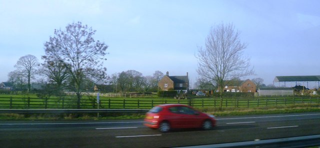
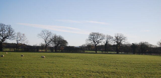
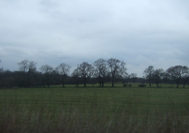
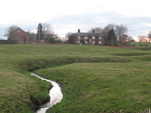
Bradwall Green is a small village located in the county of Cheshire, England. Situated approximately 2 miles west of Sandbach, it falls within the unitary authority of Cheshire East. The village is nestled in a rural setting, surrounded by picturesque countryside and farmland.

Bradwall Green is known for its charming and peaceful atmosphere, making it an ideal place for those seeking a tranquil escape from the bustling city life. The village comprises a mix of traditional stone-built cottages and more modern houses, giving it a unique blend of old-world charm and contemporary living.

The village is home to a close-knit community, and residents can enjoy a range of amenities within a short distance. These include a local pub, a village hall, and a primary school, making it a convenient place for families to settle. Additionally, there are several walking and cycling routes in the area, allowing residents to explore the beautiful surrounding countryside.

For those looking for more extensive amenities and services, the nearby town of Sandbach provides a wide range of shops, supermarkets, restaurants, and leisure facilities. The village also benefits from excellent transport links, with easy access to major road networks, including the M6 motorway, making it convenient for commuters.

Overall, Bradwall Green offers a peaceful and idyllic countryside living experience, while still providing easy access to nearby towns and cities. Its charming character, friendly community, and beautiful surroundings make it a desirable place to reside.

If you have any feedback on the listing, please let us know in the comments section below.

Bradwall Green Images

Images are sourced within 2km of 53.168046/-2.363468 or Grid Reference SJ7563. Thanks to Geograph Open Source API. All images are credited.

M6 south of Holmes Chapel
M6 southbound near Bradwall Green
Plumtree Farm from the M6
Fields Farm
Fields Farm
Farmland near Courthouse Farm
The M6, between J17 & 18 The M6 motorway runs from junction 19 of the M1 at the Catthorpe Interchange, near Rugby to the Gretna junction (J45). Here it becomes the A74(M) and M74 which continues to Glasgow.

The M6 is the longest motorway in the United Kingdom (232 miles) and one of the busiest. It incorporates the first length of motorway opened in the UK (the Preston bypass in 1958) and forms part of a motorway "Backbone of Britain", running north-south between London and Glasgow via the industrial north of England. It is also part of the east-west route between the Midlands and the east coast ports.
The M6, between J17 & 18
The M6 motorway runs from junction 19 of the M1 at the Catthorpe Interchange, near Rugby to the Gretna junction (J45). Here it becomes the A74(M) and M74 which continues to Glasgow. The M6 is the longest motorway in the United Kingdom (232 miles) and one of the busiest. It incorporates the first length of motorway opened in the UK (the Preston bypass in 1958) and forms part of a motorway "Backbone of Britain", running north-south between London and Glasgow via the industrial north of England. It is also part of the east-west route between the Midlands and the east coast ports.
Farmland near Bridge Farm
Farmland by Wood Lane
M6 southbound
M6 southbound
M6 approaching junction 17
Community Speed Check Area It is not clear what this sign means.  Do vigilantes patrol the area with speed guns?  Certainly the motorist in this picture was not afraid of them, s/he was clearly breaking the 40mph limit.
Community Speed Check Area
It is not clear what this sign means. Do vigilantes patrol the area with speed guns? Certainly the motorist in this picture was not afraid of them, s/he was clearly breaking the 40mph limit.
Emerald Drive A small housing development off Congleton Road, built (if I recall correctly) in the 1990s.
Emerald Drive
A small housing development off Congleton Road, built (if I recall correctly) in the 1990s.
Speed limit approaching Sandbach The 30mph limit has started at this point on Congleton Road as long as I can remember (1970s) although these signs look newer.  At that time it marked the start of the built-up area, but is now illogically placed as housing has spread further out: it would be better to start the urban speed limit at the turning off the bypass.
Speed limit approaching Sandbach
The 30mph limit has started at this point on Congleton Road as long as I can remember (1970s) although these signs look newer. At that time it marked the start of the built-up area, but is now illogically placed as housing has spread further out: it would be better to start the urban speed limit at the turning off the bypass.
Drive to Fields Farm Access road to a farm, also a public footpath.
Drive to Fields Farm
Access road to a farm, also a public footpath.
Park House Care Home & Mews - Sandbach
Fields near Courthouse Farm
Farmland near Courthouse Farm
M6 northbound
M6 northbound
Show me another place!

Bradwall Green is located at Grid Ref: SJ7563 (Lat: 53.168046, Lng: -2.363468)

Unitary Authority: Cheshire East

Police Authority: Cheshire

What 3 Words

///cassettes.worksheet.knots. Near Sandbach, Cheshire

Related Wikis

Bradwall

Bradwall is a small village and civil parish in the unitary authority of Cheshire East, about 2 mi (3.2 km) northwest of Sandbach in the ceremonial county...

Brereton, Cheshire

Brereton is a civil parish in Cheshire, England. At the 2011 census, the population was 1,190. Brereton is mentioned in the Domesday book as the Manor...
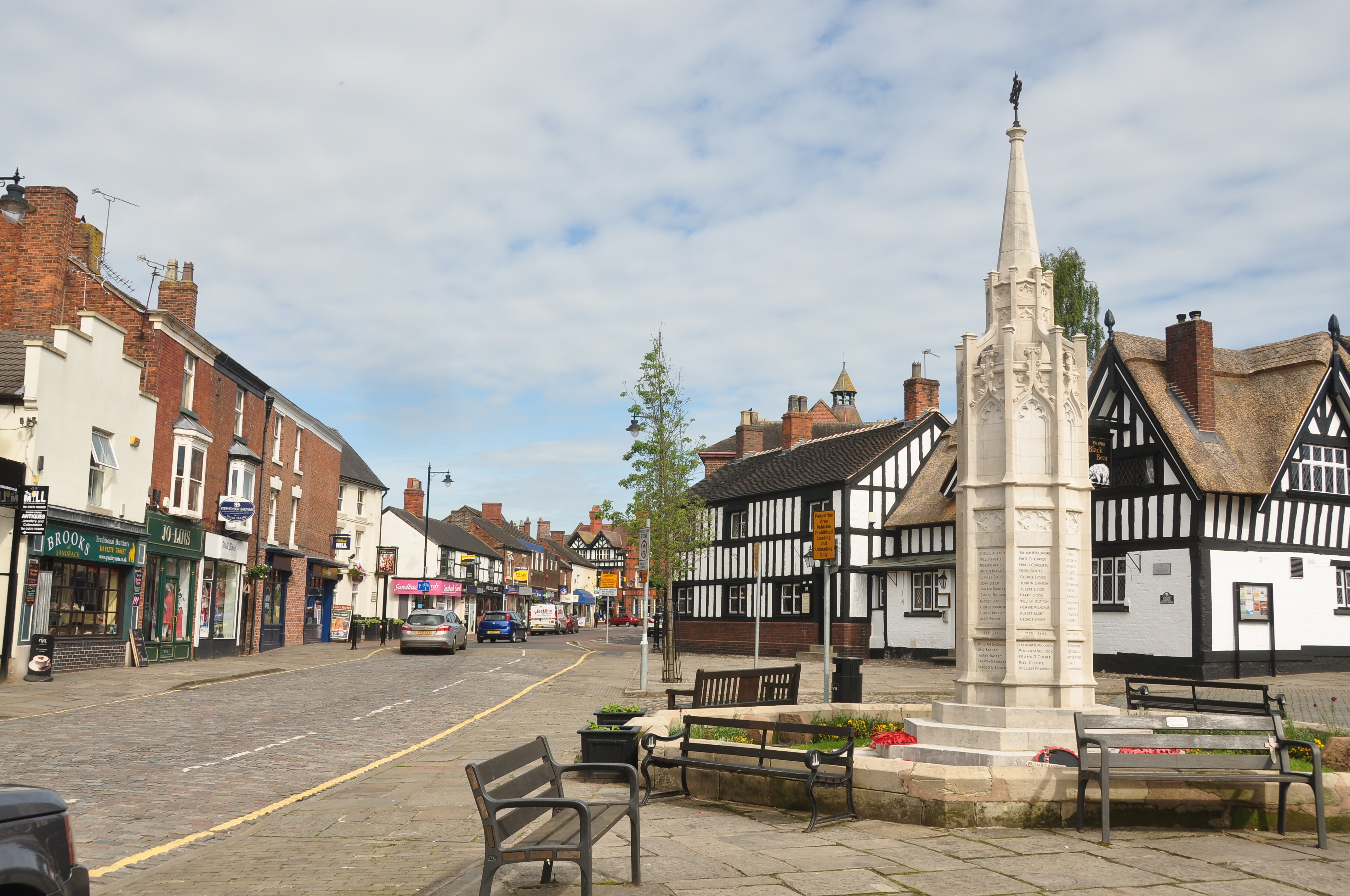
Sandbach

Sandbach (pronounced ) is a market town and civil parish in the Cheshire East borough of Cheshire, England. The civil parish contains four settlements...

Sandbach Urban District

Sandbach Urban District is a former urban district in Cheshire, based in the market town of Sandbach. It was created in 1894 and abolished in 1974 when...

Nearby Amenities

Located within 500m of 53.168046,-2.363468
Bradwall Green
Place: hamlet
Source: OS_OpenData_StreetView
Lat/Long: 53.1677563/-2.3625553
The data included in this document is from www.openstreetmap.org. The data is made available under ODbL.

Have you been to Bradwall Green?

Leave your review of Bradwall Green below (or comments, questions and feedback).