Albany Park
Settlement in Kent
England
Albany Park
Albany Park is a residential neighborhood located in the town of Kent, England. It is situated about 2 miles southeast of the town center and is known for its peaceful and picturesque surroundings.
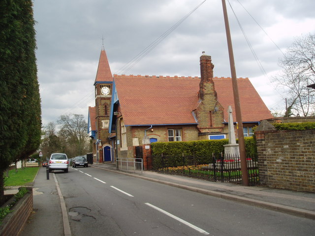
The area is predominantly residential, characterized by a mix of housing options including detached houses, semi-detached houses, and some apartment complexes. The architecture in Albany Park ranges from modern buildings to more traditional styles, giving the neighborhood a diverse and charming aesthetic.
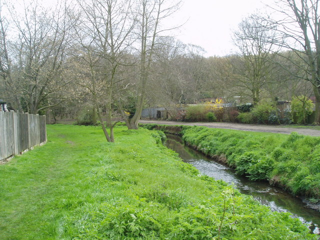
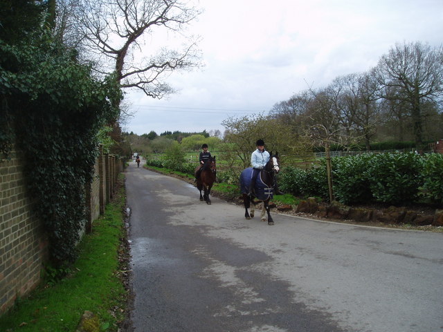
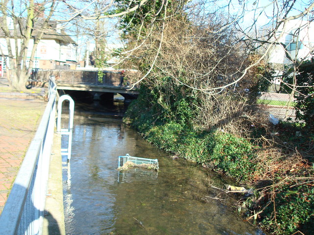
Albany Park benefits from its close proximity to the Kent countryside, with several parks and green spaces nearby. The most notable of these is the expansive Albany Park itself, which offers ample opportunities for outdoor activities such as walking, jogging, and picnicking.
Despite its tranquil atmosphere, Albany Park is well-connected to the rest of Kent. The neighborhood has good transport links, with several bus routes passing through the area, providing easy access to the town center and surrounding areas. Additionally, the nearby Kent railway station offers regular train services to London and other major cities.
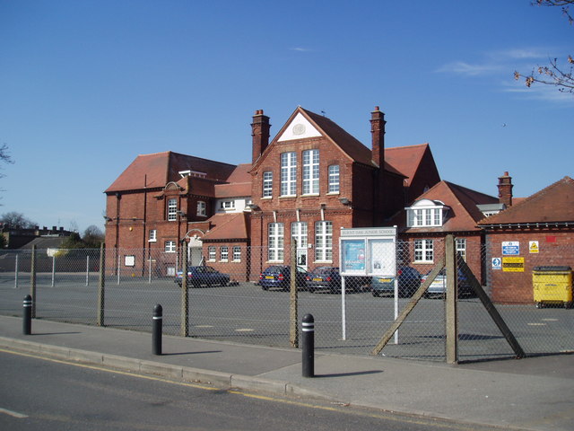
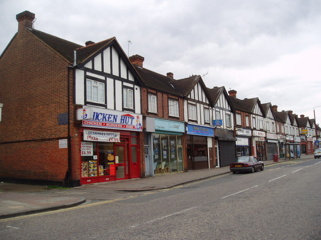
The amenities in Albany Park are plentiful, with a range of shops, restaurants, and cafes located within walking distance. There are also several schools in the vicinity, making it an attractive area for families.
Overall, Albany Park in Kent offers residents a peaceful and scenic place to live, with a good range of amenities and excellent transport links. It is a desirable neighborhood for those seeking a balance between suburban tranquility and convenient access to urban amenities.
If you have any feedback on the listing, please let us know in the comments section below.
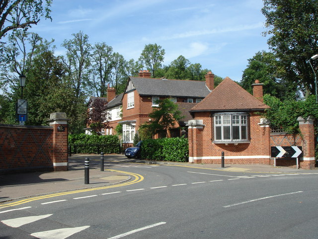
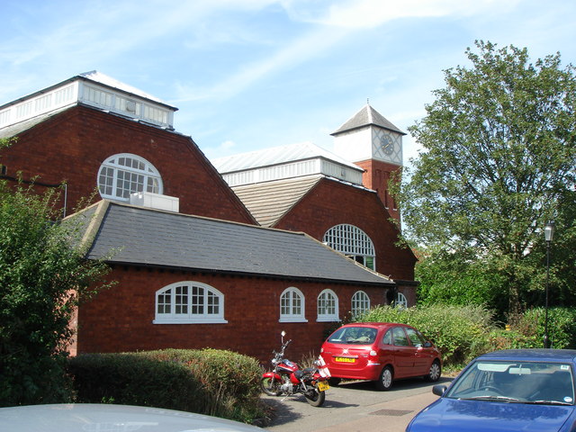
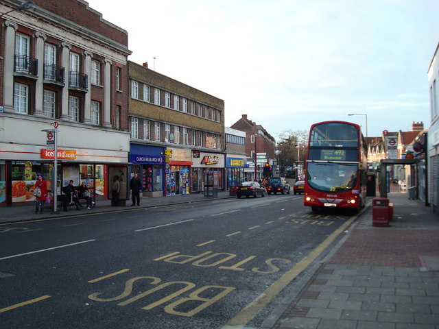
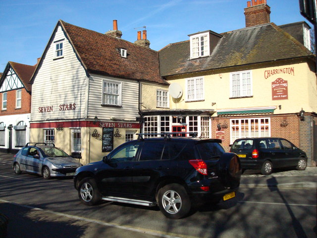
Albany Park Images
Images are sourced within 2km of 51.432253/0.120508 or Grid Reference TQ4772. Thanks to Geograph Open Source API. All images are credited.

Albany Park is located at Grid Ref: TQ4772 (Lat: 51.432253, Lng: 0.120508)
Unitary Authority: Bexley
Police Authority: Metropolitan
What 3 Words
///stiff.view.taps. Near Sidcup, London
Nearby Locations
Related Wikis

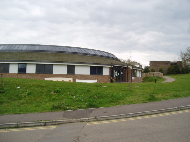
Cleeve Park School
Cleeve Park School was formed in 1986 by the merger of Parklands School for Boys and Sidcup School for Girls. The new mixed school was formed on the site...

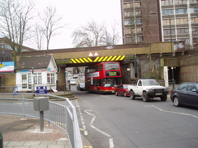
Albany Park railway station
Albany Park railway station is in the London Borough of Bexley in south-east London (Travelcard Zone 5). It is 12 miles 68 chains (20.7 km) down the line...

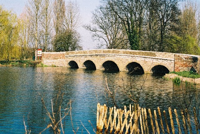
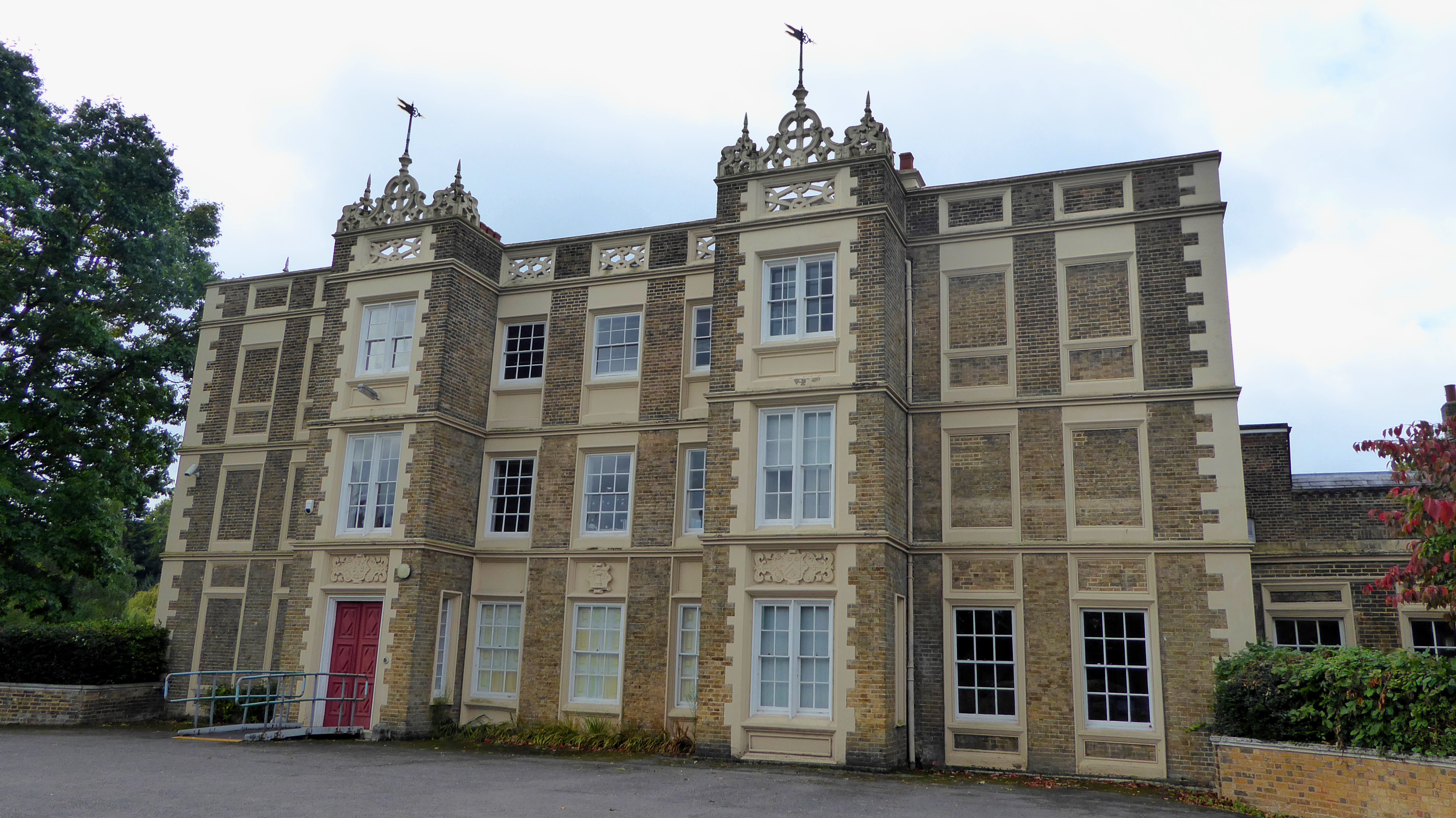
Foots Cray Place
Foots Cray Place was one of the four country houses built in England in the 18th century to a design inspired by Palladio's Villa Capra near Vicenza....

Old Bexley and Sidcup (UK Parliament constituency)
Old Bexley and Sidcup is a constituency created in 1983 and represented in the House of Commons of the UK Parliament represented since 2021 by Louie French...
Hurstmere School
Hurstmere School (formerly Hurstmere Foundation School for Boys, formerly Hurstmere Secondary Modern School for Boys) is an all-boys secondary school with...

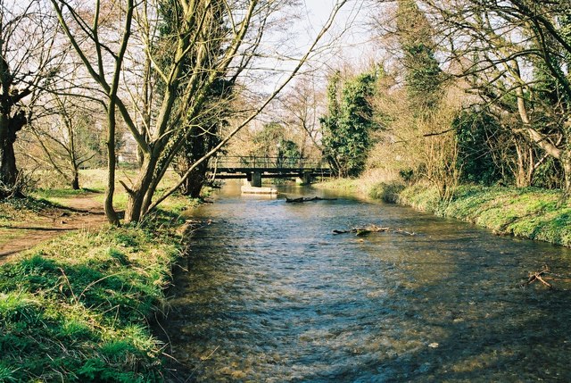
Foots Cray Meadows
Foots Cray Meadows is an area of parkland and woodland 97 hectares (240 acres) in size, within the London Borough of Bexley, England. It borders the suburbs...
Chislehurst and Sidcup Grammar School
Chislehurst and Sidcup Grammar School is a mixed-sex grammar school with academy status located in Hurst Road (A222), Sidcup in the London Borough of Bexley...
Lamorbey Park
Lamorbey Park is a 57-hectare (140-acre) park in Lamorbey, in the London Borough of Bexley, set around a Grade II listed mansion, Lamorbey House. The original...
Nearby Amenities
Located within 500m of 51.432253,0.120508Have you been to Albany Park?
Leave your review of Albany Park below (or comments, questions and feedback).