North Cray Wood
Wood, Forest in Kent
England
North Cray Wood
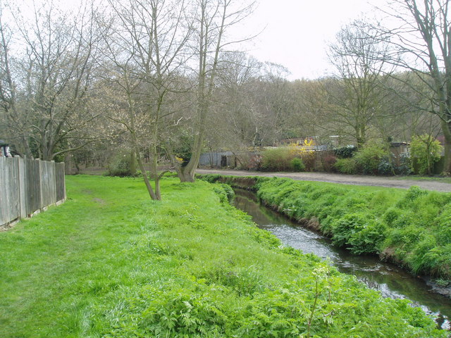
North Cray Wood is a woodland area located in the county of Kent, England. Covering an area of approximately 3.5 hectares, it is situated to the northeast of Sidcup and southwest of Orpington. The wood is part of a larger green space known as Footscray Meadows, which includes a variety of habitats such as grassland, wetland, and woodland.
North Cray Wood is predominantly composed of mature broadleaf trees, including oak, ash, and hornbeam, creating a dense canopy that provides shade and shelter. The undergrowth is rich in flora, with wildflowers such as bluebells, wood anemones, and primroses carpeting the woodland floor during springtime.
The wood is crisscrossed by a network of footpaths, allowing visitors to explore and enjoy the natural beauty of the area. It is a popular destination for nature lovers, birdwatchers, and walkers, providing a tranquil escape from the hustle and bustle of urban life.
The wood is home to a diverse range of wildlife, including various bird species such as woodpeckers, nuthatches, and tawny owls. Mammals such as foxes, squirrels, and bats can also be spotted within the woodland.
North Cray Wood has a rich history, dating back centuries. It was once part of the Footscray Place estate and has been designated as a Site of Special Scientific Interest (SSSI) due to its ecological importance and the rarity of certain species found within its boundaries.
Overall, North Cray Wood is a cherished natural treasure, offering both residents and visitors an opportunity to connect with the beauty of nature and enjoy the peacefulness of this ancient woodland.
If you have any feedback on the listing, please let us know in the comments section below.
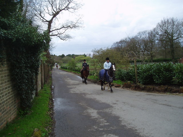
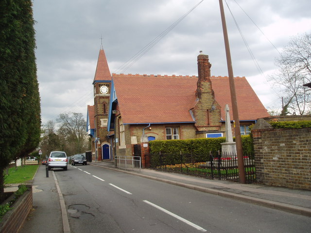
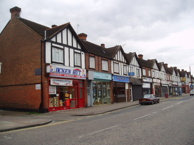
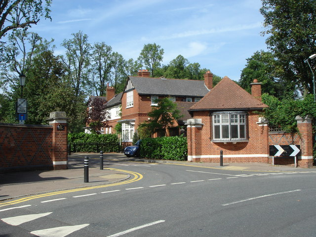
North Cray Wood Images
Images are sourced within 2km of 51.428051/0.12221432 or Grid Reference TQ4772. Thanks to Geograph Open Source API. All images are credited.


North Cray Wood is located at Grid Ref: TQ4772 (Lat: 51.428051, Lng: 0.12221432)
Unitary Authority: Bexley
Police Authority: Metropolitan
What 3 Words
///text.scores.frozen. Near Sidcup, London
Nearby Locations
Related Wikis

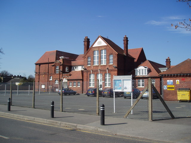
Cleeve Park School
Cleeve Park School was formed in 1986 by the merger of Parklands School for Boys and Sidcup School for Girls. The new mixed school was formed on the site...

Foots Cray Place
Foots Cray Place was one of the four country houses built in England in the 18th century to a design inspired by Palladio's Villa Capra near Vicenza....

Foots Cray Meadows
Foots Cray Meadows is an area of parkland and woodland 97 hectares (240 acres) in size, within the London Borough of Bexley, England. It borders the suburbs...

Albany Park railway station
Albany Park railway station is in the London Borough of Bexley in south-east London (Travelcard Zone 5). It is 12 miles 68 chains (20.7 km) down the line...

North Cray
North Cray is an area in South East London, England, within the London Borough of Bexley. It is located east of Sidcup and south of Bexleyheath and is...
Bird College
Bird College – Conservatoire for Dance and Musical Theatre is an independent performing arts school and college, located in Sidcup, South East London,...

Old Bexley and Sidcup (UK Parliament constituency)
Old Bexley and Sidcup is a constituency created in 1983 and represented in the House of Commons of the UK Parliament represented since 2021 by Louie French...

Loring Hall
Loring Hall is a private mental health care facility in North Cray, London Borough of Bexley. Formerly known as Wollet Hall or Woollet Hall, it is a Grade...
Nearby Amenities
Located within 500m of 51.428051,0.12221432Have you been to North Cray Wood?
Leave your review of North Cray Wood below (or comments, questions and feedback).