Fields, West
Settlement in Berkshire
England
Fields, West
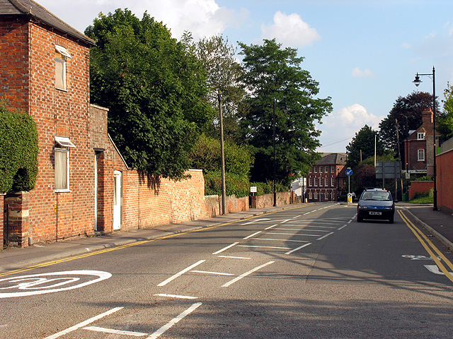
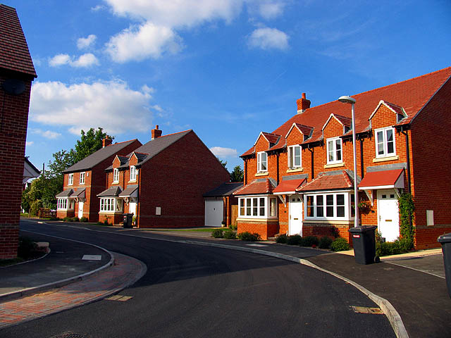
Fields, West, Berkshire is a small village located in the county of Berkshire, England. Situated near the River Thames, it is nestled amidst the picturesque countryside, offering residents and visitors a tranquil and scenic environment. With a population of around 500 people, Fields exudes a true sense of community and charm.
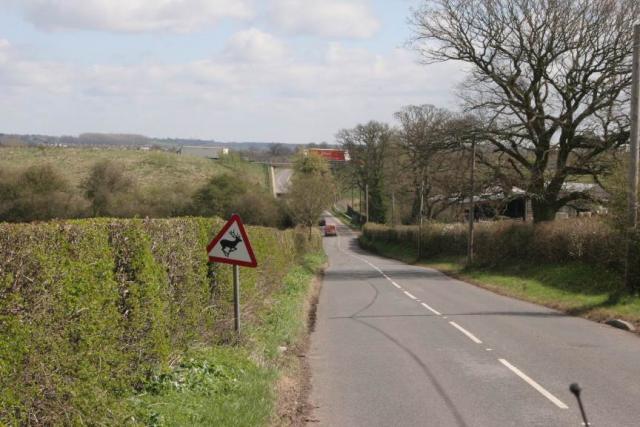
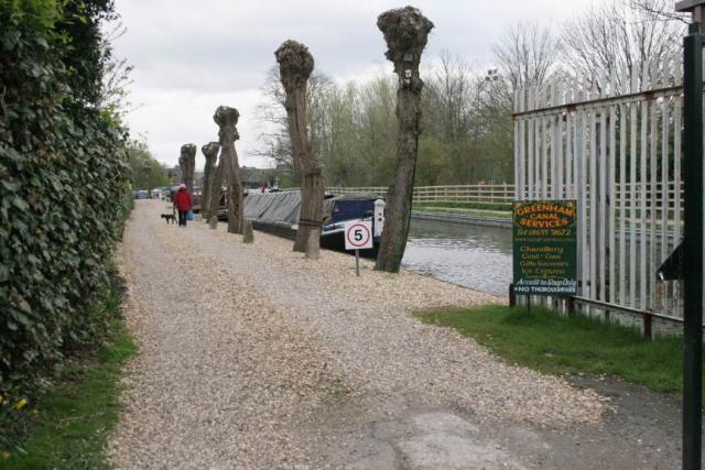
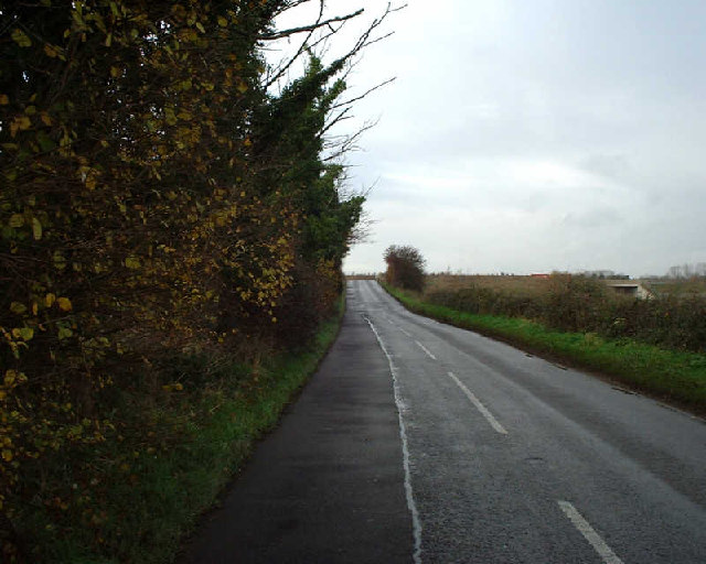
The village is known for its idyllic setting, characterized by rolling hills, lush green fields, and beautiful woodland areas. The landscape provides ample opportunities for outdoor activities such as hiking, cycling, and picnicking. Additionally, the proximity to the River Thames allows for boating and fishing activities to be enjoyed.
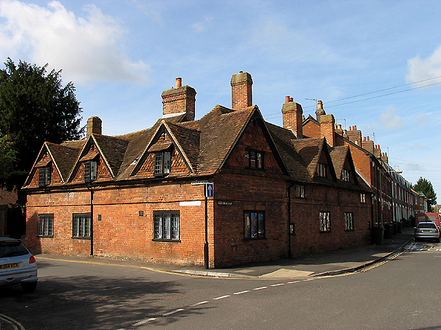
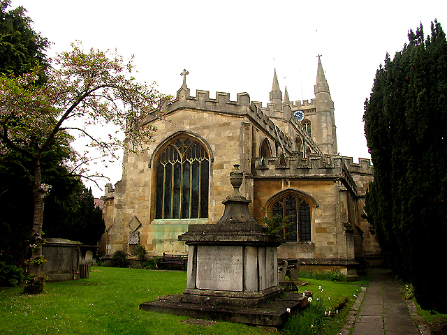
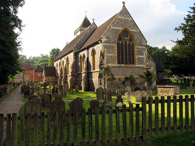
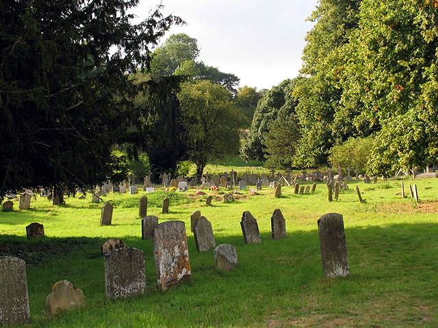
Fields boasts a rich history, with evidence of human occupation dating back to the Roman era. The village is home to a number of historic buildings, including a 12th-century church that serves as a reminder of the area's long-standing heritage.
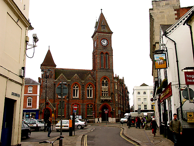
Despite its small size, Fields offers essential amenities to its residents. A local pub acts as a hub for socializing, while a village shop provides everyday necessities. The village also benefits from good transportation links, with regular bus services connecting it to nearby towns and cities.
The community spirit in Fields is evident through the various events and activities organized throughout the year. From summer fetes to Christmas markets, residents come together to celebrate and support local initiatives.
In summary, Fields, West, Berkshire is a charming village that offers a peaceful retreat from the hustle and bustle of modern life. With its stunning natural surroundings, rich history, and strong sense of community, it is a place that truly captures the essence of rural England.
If you have any feedback on the listing, please let us know in the comments section below.
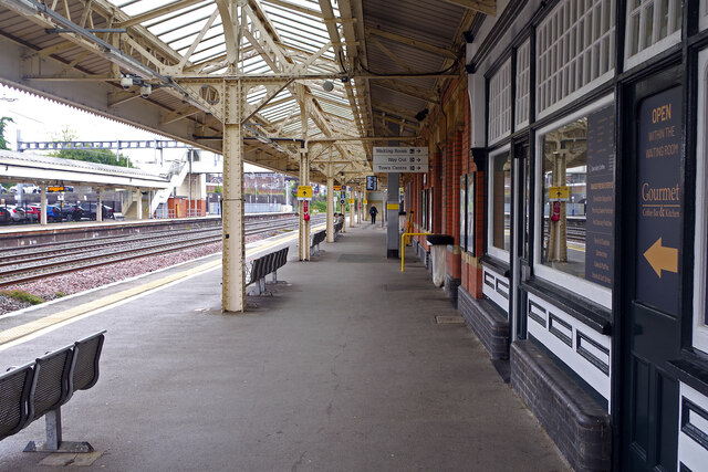
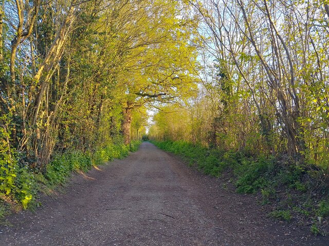
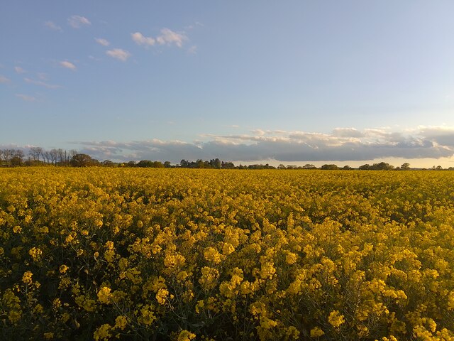
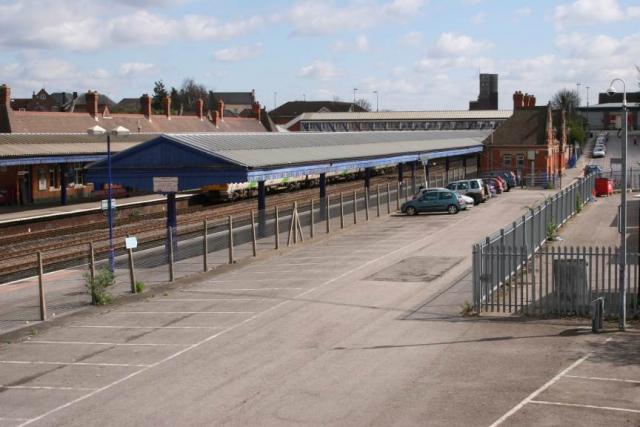
Fields, West Images
Images are sourced within 2km of 51.395626/-1.3324494 or Grid Reference SU4666. Thanks to Geograph Open Source API. All images are credited.


Fields, West is located at Grid Ref: SU4666 (Lat: 51.395626, Lng: -1.3324494)
Unitary Authority: West Berkshire
Police Authority: Thames Valley
What 3 Words
///rated.city.crowd. Near Newbury, Berkshire
Nearby Locations
Related Wikis

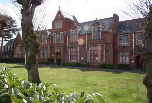
St Bartholomew's School
St. Bartholomew's School (known colloquially as St Bart's) has been a non-selective local comprehensive school since 1975. It is a co-educational state...

Litten Chapel
Litten Chapel is an early 16th chapel associated with the old medieval hospital of St Bartholomew in Newbury, Berkshire, England. The single storey chapel...
Black Boys Bridge
The Black Boys Bridge is a road bridge in Newbury, Berkshire, England. At the western end of Newbury railway station, the bridge spans the Reading to Taunton...
Phoenix Brewery
The Phoenix Brewery (also known as Finns Brewery) was a brewery run by the Finns family in Newbury, Berkshire, UK. == History == The brewery was founded...
Nearby Amenities
Located within 500m of 51.395626,-1.3324494Have you been to Fields, West?
Leave your review of Fields, West below (or comments, questions and feedback).