West Field

Settlement in Lincolnshire

England

West Field

Thornton Abbey: aerial 2022 (1)
Thornton Abbey: aerial 2022 (1) Credit: Chris

West Field is a small village located in the county of Lincolnshire, England. Situated in the East Midlands region, it is part of the West Lindsey district. The village is situated approximately 8 miles northwest of the city of Lincoln and is surrounded by picturesque countryside.

West Field is known for its tranquility and rural charm, with its idyllic setting providing a peaceful escape from the hustle and bustle of city life. The village is characterized by its quaint cottages and traditional architecture, giving it a charming and old-world feel.

Although small in size, West Field boasts a close-knit community that takes great pride in their village. The local residents are friendly and welcoming, and community events and activities are regularly organized to foster a sense of togetherness.

The village is well-served by amenities, including a village hall, a primary school, and a small convenience store. Additionally, the nearby city of Lincoln offers a wide range of services and facilities, ensuring that residents have access to all the necessities and conveniences they require.

The surrounding area offers ample opportunities for outdoor pursuits, such as walking, cycling, and horse riding, with numerous trails and paths crisscrossing the beautiful countryside. West Field is also conveniently located for those wishing to explore the wider attractions of Lincolnshire, including historical landmarks, charming market towns, and nature reserves.

Overall, West Field provides a peaceful and picturesque setting for those seeking a tranquil village life, while still offering easy access to the amenities and attractions of the wider region.

If you have any feedback on the listing, please let us know in the comments section below.
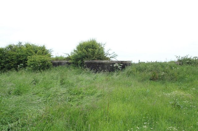
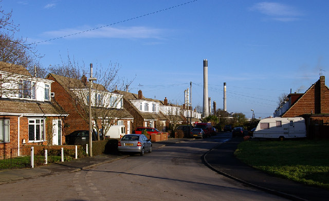
West Field Images

Images are sourced within 2km of 53.6586/-0.2947 or Grid Reference TA1219. Thanks to Geograph Open Source API. All images are credited.

Thornton Abbey: aerial 2022 (1)
Thornton Abbey: aerial 2022 (2)
Thornton Abbey: aerial, March 2022 (1)
Thornton Abbey: aerial, March 2022 (2)
Thornton Abbey: aerial, March 2022 (3)
Thornton Abbey: aerial, March 2022 (4)
Thornton Abbey: aerial, March 2022 (5)
Thornton Abbey: aerial, March 2022 (6)
Thornton Abbey: aerial, March 2022 (7)
Thornton Abbey: aerial, March 2022 (9)
Soilmark on field SW of Thornton Abbey: aerial 2022
Thornton Abbey: aerial, February 2022 (1)
Site of WW2 Anti-Aircraft battery, East Halton (1) See <span class="nowrap"><a title="https://www.heritagegateway.org.uk/Gateway/Results_Single.aspx?uid=MLS21419&resourceID=1034" rel="nofollow ugc noopener" href="https://www.heritagegateway.org.uk/Gateway/Results_Single.aspx?uid=MLS21419&resourceID=1034">Link</a><img style="margin-left:2px;" alt="External link" title="External link - shift click to open in new window" src="https://s1.geograph.org.uk/img/external.png" width="10" height="10"/></span>
Site of WW2 Anti-Aircraft battery, East Halton (1)
See LinkExternal link
Site of WW2 Anti-Aircraft battery, East Halton (2) See <span class="nowrap"><a title="https://www.heritagegateway.org.uk/Gateway/Results_Single.aspx?uid=MLS21419&resourceID=1034" rel="nofollow ugc noopener" href="https://www.heritagegateway.org.uk/Gateway/Results_Single.aspx?uid=MLS21419&resourceID=1034">Link</a><img style="margin-left:2px;" alt="External link" title="External link - shift click to open in new window" src="https://s1.geograph.org.uk/img/external.png" width="10" height="10"/></span>
Site of WW2 Anti-Aircraft battery, East Halton (2)
See LinkExternal link
Site of WW2 Anti-Aircraft battery, East Halton (3) See <span class="nowrap"><a title="https://www.heritagegateway.org.uk/Gateway/Results_Single.aspx?uid=MLS21419&resourceID=1034" rel="nofollow ugc noopener" href="https://www.heritagegateway.org.uk/Gateway/Results_Single.aspx?uid=MLS21419&resourceID=1034">Link</a><img style="margin-left:2px;" alt="External link" title="External link - shift click to open in new window" src="https://s1.geograph.org.uk/img/external.png" width="10" height="10"/></span>
Site of WW2 Anti-Aircraft battery, East Halton (3)
See LinkExternal link
Fields east of East Halton: aerial 2022
Show me another place!

West Field is located at Grid Ref: TA1219 (Lat: 53.6586, Lng: -0.2947)

Division: Parts of Lindsey

Unitary Authority: North Lincolnshire

Police Authority: Humberside

What 3 Words

///pass.crackling.unusable. Near Goxhill, Lincolnshire

Nearby Locations

Field, West West Field

Related Wikis

Thornton Abbey

Thornton Abbey was a medieval abbey located close to the small North Lincolnshire village of Thornton Curtis, near Ulceby, and directly south of Hull on...

East Halton

East Halton is a small village and civil parish in North Lincolnshire, England. It is situated close to the Humber estuary, approximately 4 miles (6 km...

East Halton railway station

East Halton railway station was located on Skitter Road north of East Halton, Lincolnshire, England.The station was built by the Barton and Immingham Light...

Thornton Abbey railway station

Thornton Abbey railway station is close to the site of Thornton Abbey in North Lincolnshire, England. It was built by the Great Grimsby and Sheffield Junction...

Thornton Curtis railway station

Thornton Curtis railway station was a temporary structure provided by the Manchester, Sheffield and Lincolnshire Railway until it opened Thornton Abbey...

Goxhill Hall

Goxhill Hall is a late 17th-century residence and a Grade II* Listed building in Goxhill, North Lincolnshire. A 14th to 15th-century Medieval hall joins...

North Killingholme

North Killingholme is a small village and civil parish in North Lincolnshire, England. Situated on the southern bank of the Humber Estuary north-west of...

RAF Goxhill

Royal Air Force Goxhill or RAF Goxhill is a former Royal Air Force station located east of Goxhill, on the south bank of the Humber Estuary, opposite the...

Nearby Amenities

Located within 500m of 53.6586,-0.2947
College Road Farm
Place: farm
Source: Bing
Lat/Long: 53.6573066/-0.294506
Well Close Farm
Place: farm
Source: Bing
Lat/Long: 53.6587485/-0.2947867
West Field
Place: locality
Source: Bing
Lat/Long: 53.6600886/-0.2945995
Westfield Farm
Place: farm
Source: Bing
Lat/Long: 53.6612993/-0.2952078
Clifton
Place: isolated_dwelling
Lat/Long: 53.6594076/-0.2897424
Southside
Place: isolated_dwelling
Lat/Long: 53.6577652/-0.2909474
Material: wood
Power: pole
Lat/Long: 53.6616378/-0.2898182
Material: wood
Power: pole
Lat/Long: 53.66142/-0.2912639
Material: wood
Power: pole
Lat/Long: 53.6612023/-0.2927177
Material: wood
Power: pole
Lat/Long: 53.661184/-0.2928478
Material: wood
Power: pole
Lat/Long: 53.6614435/-0.2937825
Material: wood
Power: pole
Lat/Long: 53.6617176/-0.2948581
Material: wood
Power: pole
Lat/Long: 53.6619878/-0.2959471
Material: wood
Power: pole
Lat/Long: 53.662285/-0.2971165
Material: wood
Power: pole
Lat/Long: 53.6620641/-0.2985703
Material: wood
Power: pole
Lat/Long: 53.657725/-0.295853
Material: wood
Power: pole
Lat/Long: 53.6571218/-0.2963867
Material: wood
Power: pole
Lat/Long: 53.6565409/-0.2968883
Material: wood
Power: pole
Lat/Long: 53.6557334/-0.2975964
Material: wood
Power: pole
Lat/Long: 53.6550673/-0.2981812
Frequency: 50
Material: wood
Phases: 1
Power: pole
Transformer: distribution
Voltage: 11000;230
Lat/Long: 53.657731/-0.2947399
Frequency: 50
Material: wood
Phases: 3
Power: pole
Transformer: distribution
Voltage: 11000;400
Lat/Long: 53.6596514/-0.2896846
Material: wood
Power: pole
Lat/Long: 53.6596312/-0.2882315
Material: wood
Power: pole
Lat/Long: 53.6596312/-0.2907595
Material: wood
Power: pole
Lat/Long: 53.6596423/-0.2918056
Material: wood
Power: pole
Lat/Long: 53.6596113/-0.2932969
Frequency: 50
Material: wood
Phases: 3
Power: pole
Transformer: distribution
Voltage: 11000;400
Lat/Long: 53.6583143/-0.2954078
Material: wood
Power: pole
Lat/Long: 53.6595382/-0.2950752
Material: wood
Power: pole
Lat/Long: 53.6595509/-0.2948713
Material: wood
Power: pole
Lat/Long: 53.660255/-0.2944703
Material: wood
Power: pole
Lat/Long: 53.6609949/-0.2940425
The data included in this document is from www.openstreetmap.org. The data is made available under ODbL.

Have you been to West Field?

Leave your review of West Field below (or comments, questions and feedback).