End, West
Settlement in Kent Swale
England
End, West
End, West, Kent is a small village located in the county of Kent, England. Situated in the western part of the county, it is nestled between the picturesque countryside and the bustling city of London, making it an ideal location for those seeking a peaceful retreat while still having access to urban amenities.
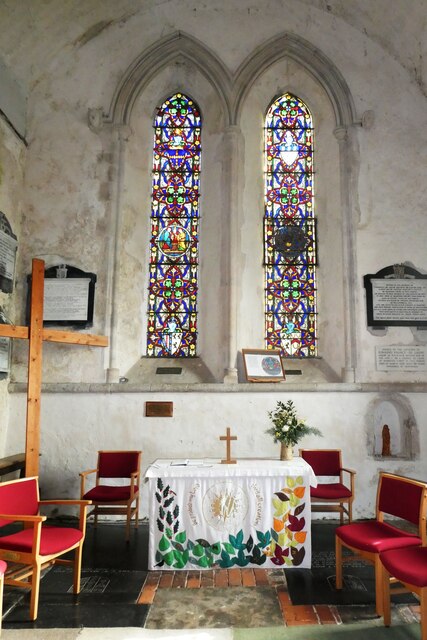
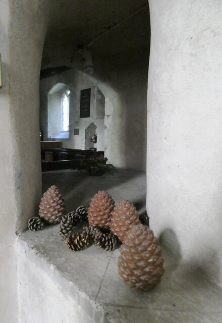
The village is known for its charming and idyllic setting, with its quaint cottages, traditional English gardens, and rolling green fields. The landscape is dotted with historic landmarks, such as the St. Mary's Church, which dates back to the 12th century and is a popular destination for history enthusiasts and architecture admirers.
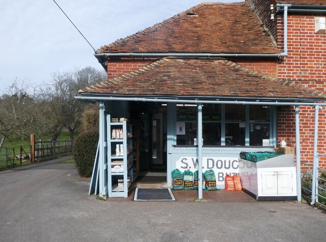
Despite its small size, End has a close-knit community that takes pride in maintaining the village's heritage and natural beauty. Residents often participate in local events and activities, fostering a strong sense of camaraderie. The village also has a primary school, local shops, and a village hall that serves as a hub for various social gatherings and community events.
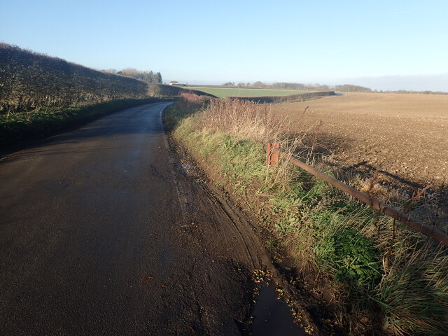
For outdoor enthusiasts, End offers plenty of opportunities for exploration and leisure. The surrounding countryside is crisscrossed with walking and cycling trails, providing breathtaking views of the countryside and allowing visitors to immerse themselves in nature. Additionally, the nearby River Thames offers opportunities for boating and fishing.
Overall, End, West, Kent is a charming and tranquil village that offers a perfect blend of rural serenity and easy access to the amenities of city life. Its rich history, natural beauty, and strong community spirit make it an appealing destination for both residents and visitors.
If you have any feedback on the listing, please let us know in the comments section below.
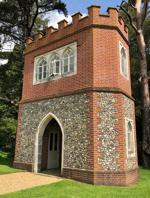
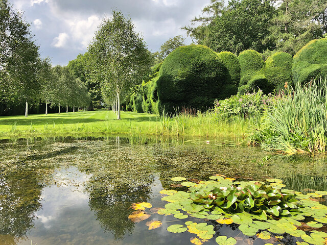
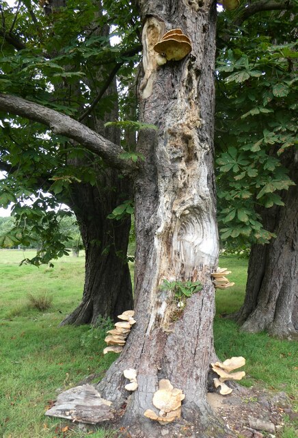
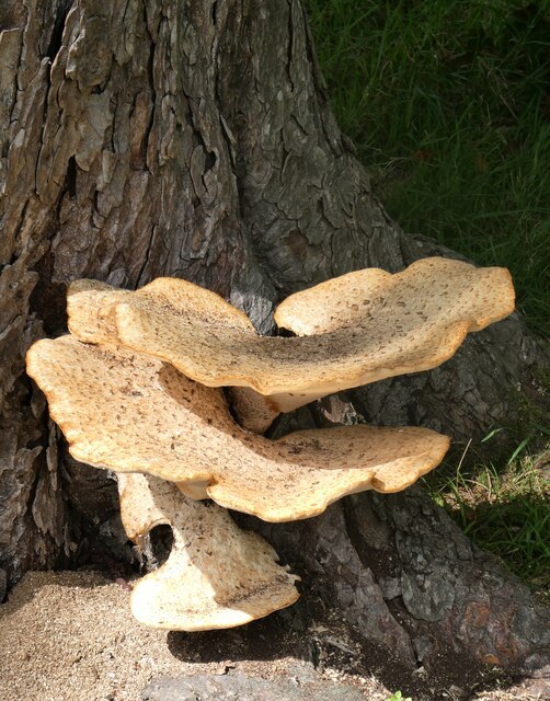
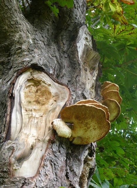
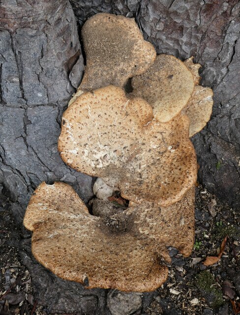
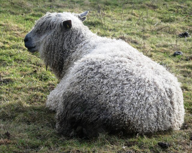
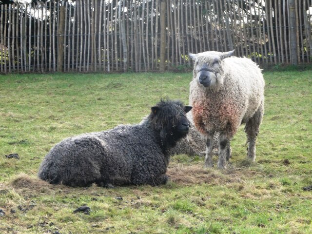
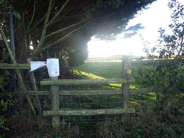
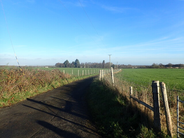
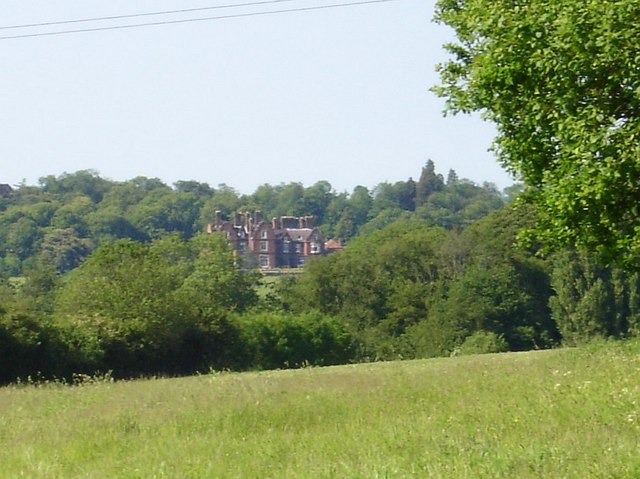
End, West Images
Images are sourced within 2km of 51.281152/0.76478489 or Grid Reference TQ9257. Thanks to Geograph Open Source API. All images are credited.
End, West is located at Grid Ref: TQ9257 (Lat: 51.281152, Lng: 0.76478489)
Administrative County: Kent
District: Swale
Police Authority: Kent
What 3 Words
///ports.switch.losing. Near Lenham, Kent
Nearby Locations
Related Wikis

Doddington, Kent
Doddington is a village and civil parish in the district of Swale in Kent, England. The Syndale Valley shelters the central part in the Kent Downs Area...

Pines Garden
Pines Garden is a house and large garden, located on the winding beach road from St Margaret's at Cliffe village down to the beach at St Margeret's Bay...
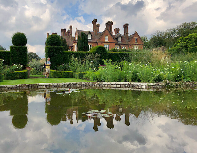
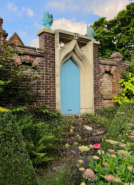
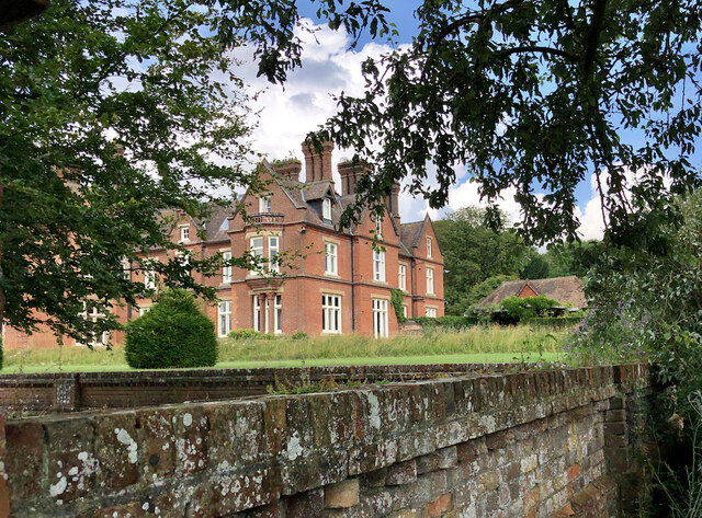
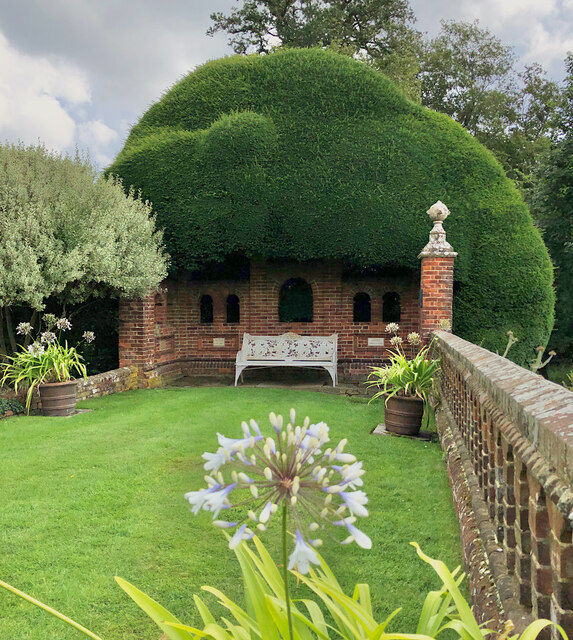
Doddington Place Gardens
Doddington Place Gardens is part of a 850 acres (3,400,000 m2) Edwardian estate, located on the edge of Doddington village, near Faversham in Kent, UK...

Torry Hill Railway
The Torry Hill Railway is a private miniature railway with the unusual gauge of 9 inches (229 mm) at Torry Hill near Frinsted in the Borough of Maidstone...

Wichling
Wichling (otherwise Wychling) is a village and civil parish within the local government district of Maidstone, in England. The parish lies approximately...

Kingsdown, Swale
Kingsdown is a small village and former civil parish, now in the parish of Lynsted with Kingsdown, in the Swale district, in the county of Kent, England...

Dungate
Dungate is a village near the M2 motorway, in the Swale district, in the English county of Kent. It is near the town of Sittingbourne. == References... ==
Newnham Castle
Newnham Castle was a medieval castle in the village of Newnham, Kent, England. == History == Newnham Castle was built by the Normans, probably by Fulk...
Nearby Amenities
Located within 500m of 51.281152,0.76478489Have you been to End, West?
Leave your review of End, West below (or comments, questions and feedback).