West End

Settlement in Sussex Horsham

England

West End

View SSW across the Adur flood plain You can see the South Downs in the distance.
View SSW across the Adur flood plain Credit: Ian Cunliffe

West End is a small village located in the county of Sussex, England. It is situated in the South Downs National Park, surrounded by picturesque countryside and rolling hills. The village is part of the Chichester district, and lies approximately 8 miles northwest of the city of Chichester.

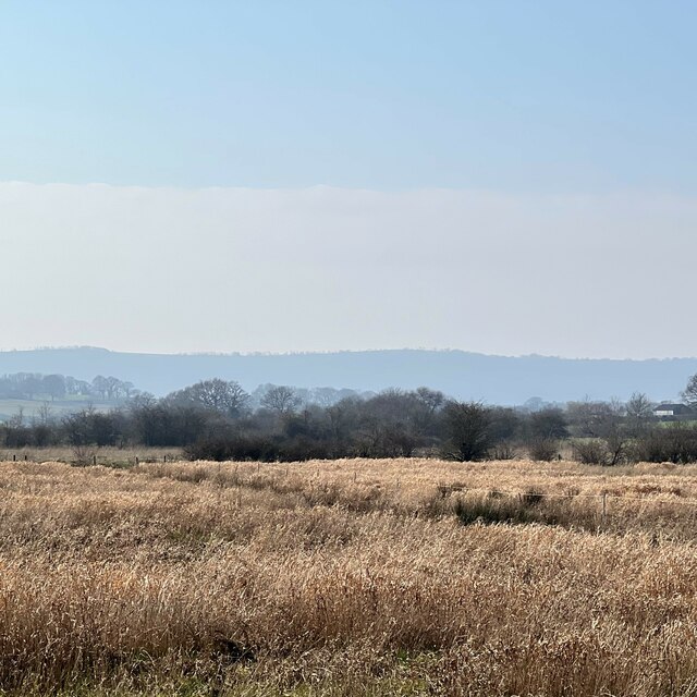
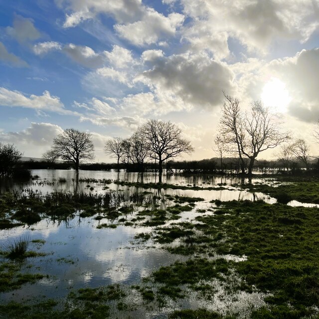
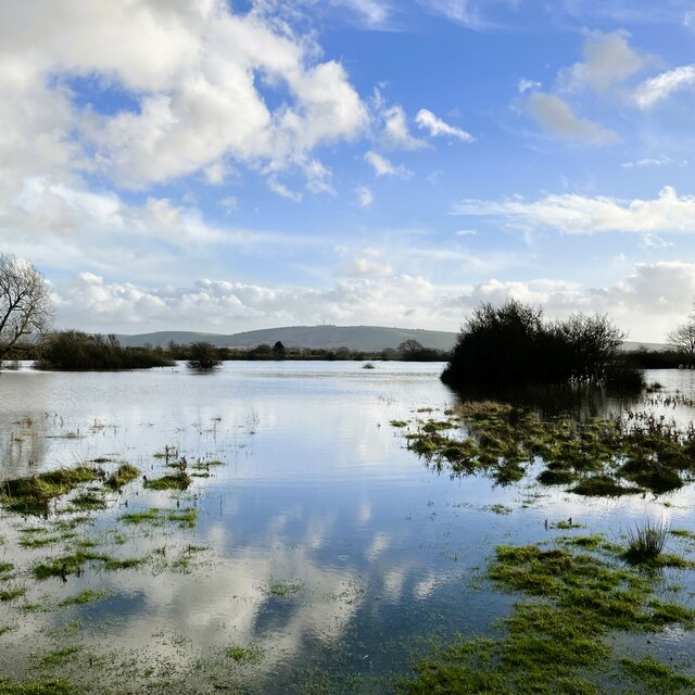
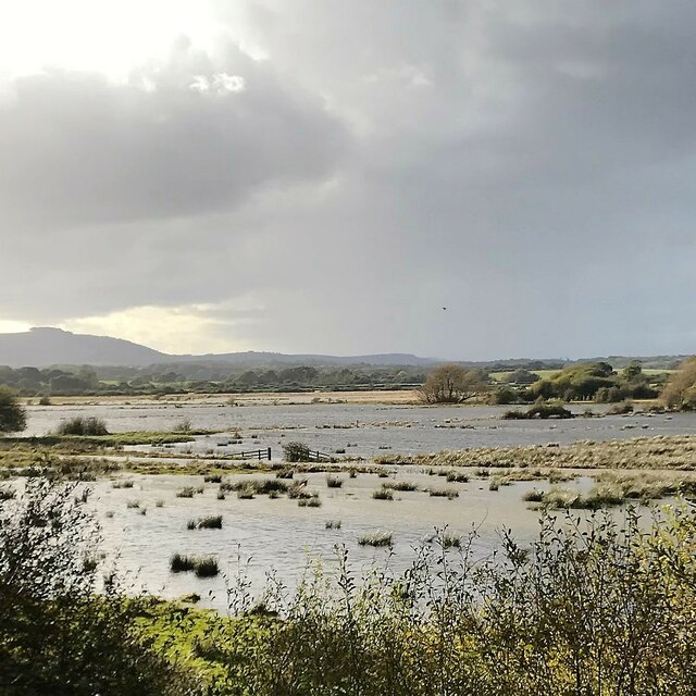
West End is characterized by its tranquil and rural atmosphere, making it an ideal destination for nature lovers and those seeking a peaceful retreat. The village is known for its beautiful landscapes, which offer numerous opportunities for outdoor activities such as hiking, cycling, and horse riding. It is also home to several nature reserves and protected areas, providing habitats for a diverse range of plant and animal species.

The village itself is relatively small, with a close-knit community and a handful of amenities. There is a local pub, The West End Inn, where residents and visitors can enjoy a drink or a meal. The village also has a small primary school, which serves the local area.

Despite its rural setting, West End benefits from good transport links. The A285 road runs close to the village, connecting it to nearby towns and cities. The city of Chichester, with its wider range of amenities, is easily accessible by car or public transport.

In summary, West End offers a peaceful and picturesque retreat in the heart of the South Downs. With its stunning natural landscapes and close community, it is a charming village for those seeking a quieter way of life.

If you have any feedback on the listing, please let us know in the comments section below.
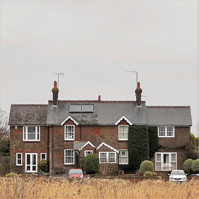
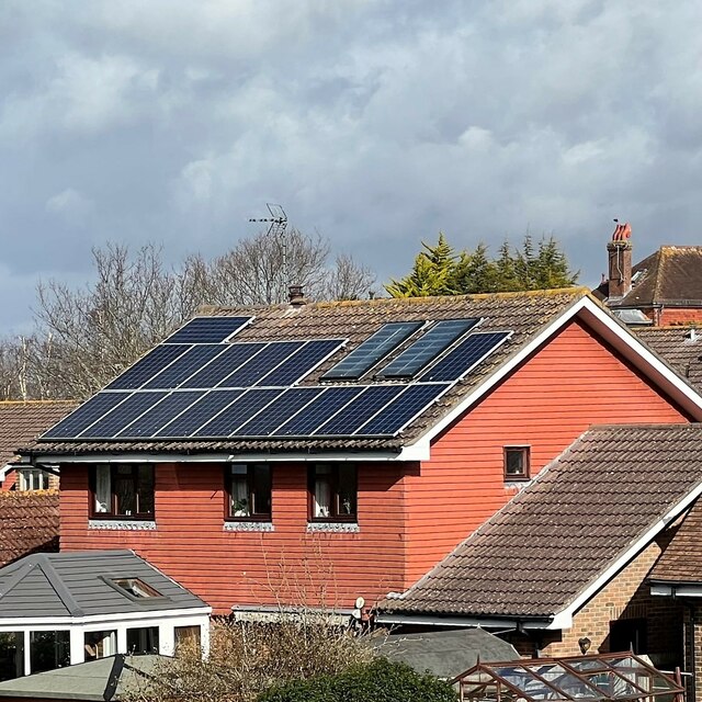
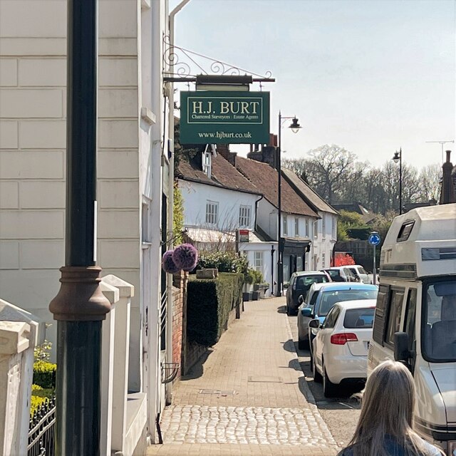
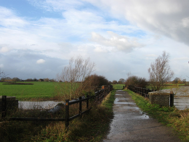
West End Images

Images are sourced within 2km of 50.931089/-0.29092408 or Grid Reference TQ2016. Thanks to Geograph Open Source API. All images are credited.

View SSW across the Adur flood plain You can see the South Downs in the distance.
View SSW across the Adur flood plain
You can see the South Downs in the distance.
Charred tree trunk - SW of Rye Farm I'm guessing this was felled by lightning.
Charred tree trunk - SW of Rye Farm
I'm guessing this was felled by lightning.
Reflection in a puddle in a grassy field
Rusty gate hinge
Rusty gate hinge
Acorns by the footpath
View south near the footpath to Rye Farm It wasn't possible to follow the footpath any further than this on account of the flooding.
View south near the footpath to Rye Farm
It wasn't possible to follow the footpath any further than this on account of the flooding.
View SSE towards Truleigh Hill It wasn't possible to follow the Rye Farm footpath any further on account of the flooding.
View SSE towards Truleigh Hill
It wasn't possible to follow the Rye Farm footpath any further on account of the flooding.
Grapes on the Lydds There is a small vineyard here with enough grapes (in a good year) to make quite a few bottles of wine.
Grapes on the Lydds
There is a small vineyard here with enough grapes (in a good year) to make quite a few bottles of wine.
View WSW over the Adur floodplain It has rained a fair bit recently, but this flooding is normal here in autumn and winter. Chanctonbury Ring can be seen in the distance on the left.
View WSW over the Adur floodplain
It has rained a fair bit recently, but this flooding is normal here in autumn and winter. Chanctonbury Ring can be seen in the distance on the left.
Teasel - Dipsacus fullonum
Grass leaves and stems near Little Barn I think this is Reed sweet-grass (Glyceria maxima). The land hereabouts is subject to periodic flooding.
Grass leaves and stems near Little Barn
I think this is Reed sweet-grass (Glyceria maxima). The land hereabouts is subject to periodic flooding.
Autumn leaves on Nep Town Road
Antique shop interior - Henfield High Street
Houses on Hewitts and Nep Town Road
Sussex Fine Food - on the High Street
Houses on the north side of Henfield Common
House on Chanctonbury View
East side of High Street - view south towards Golden Square
Show me another place!

West End is located at Grid Ref: TQ2016 (Lat: 50.931089, Lng: -0.29092408)

Administrative County: West Sussex

District: Horsham

Police Authority: Sussex

What 3 Words

///gilding.violin.drag. Near Henfield, West Sussex

Nearby Locations

West End End, West

Related Wikis

Henfield railway station

Henfield was a railway station on the Steyning Line which served the village of Henfield. It was equipped with a siding which received coal to serve the...

Henfield

Henfield is a large village and civil parish in the Horsham District of West Sussex, England. It lies 41 miles (66 km) south of London, 12 miles (19 km...

St Peter's Church, Henfield

St Peter's Church is a Church of England parish church in the large village of Henfield, West Sussex. Placed on the site of an 8th-century Saxon church...

Betley Bridge

Betley Bridge is a disused railway bridge, now a rail trail bridge, which crosses the confluence of the East and West Adur rivers North of Henfield in...

Nearby Amenities

Located within 500m of 50.931089,-0.29092408
Crossing
Crossing: unmarked
Crossing Island: no
Kerb: lowered
Tactile Paving: yes
Lat/Long: 50.9324149/-0.284594
Barrier: bollard
Foot: yes
Lat/Long: 50.9333054/-0.2876201
Barrier: bollard
Foot: yes
Lat/Long: 50.9336819/-0.2876083
Post Box
Collection Times: Mo-Fr 16:45; Sa 10:00
Operator: Royal Mail
Post Box Mounting: pier
Post Box Type: lamp
Ref: BN5 1367
Royal Cypher: EIIR
Royal Cypher Wikidata: Q33102113
Lat/Long: 50.9324293/-0.2845716
Barrier: bollard
Lat/Long: 50.9335266/-0.2895912
Barrier: bollard
Lat/Long: 50.9335146/-0.2896525
Power: pole
Lat/Long: 50.9342692/-0.2946092
Power: pole
Lat/Long: 50.9339567/-0.2931415
Power: pole
Lat/Long: 50.9330123/-0.2924588
Power: pole
Lat/Long: 50.9333498/-0.2925942
The data included in this document is from www.openstreetmap.org. The data is made available under ODbL.

Have you been to West End?

Leave your review of West End below (or comments, questions and feedback).