West End
Settlement in Somerset South Somerset
England
West End
The requested URL returned error: 429 Too Many Requests
If you have any feedback on the listing, please let us know in the comments section below.
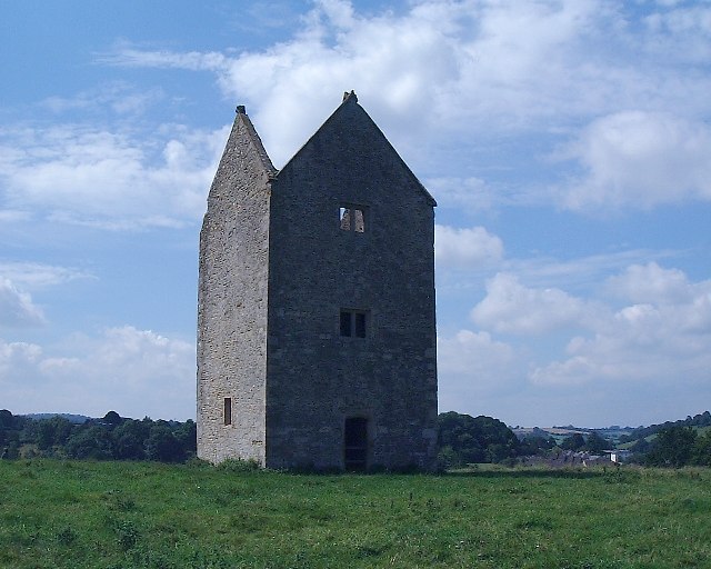
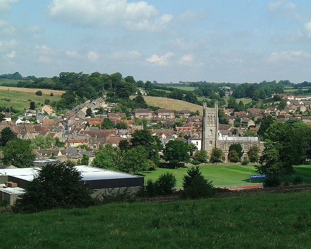
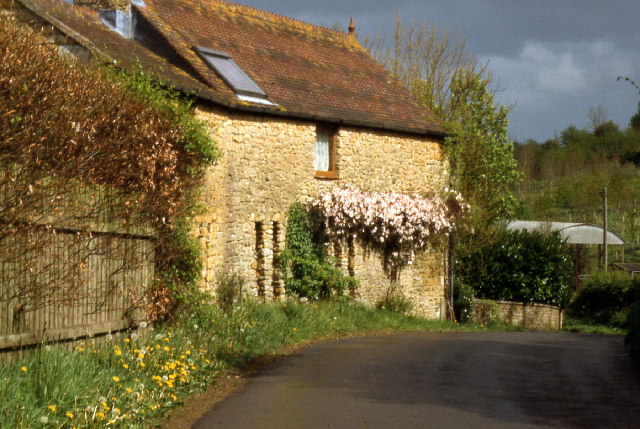
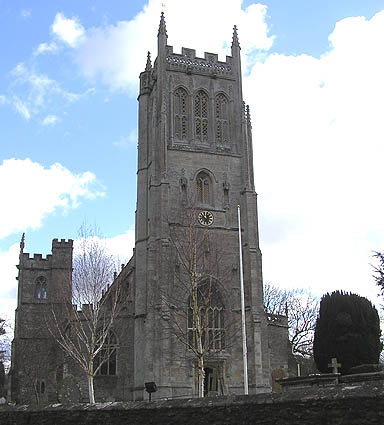
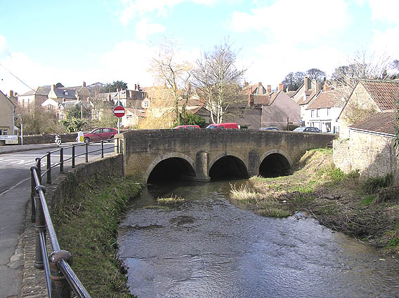
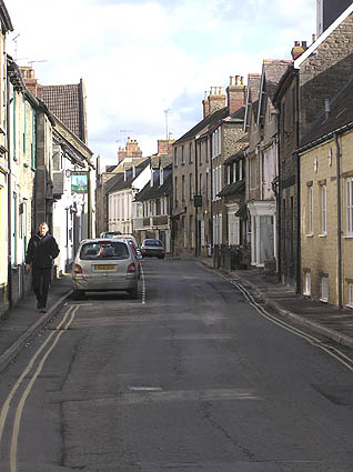
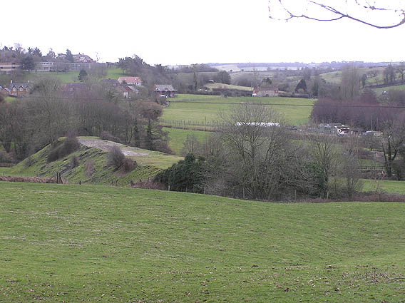
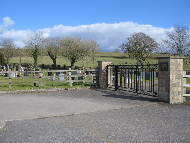
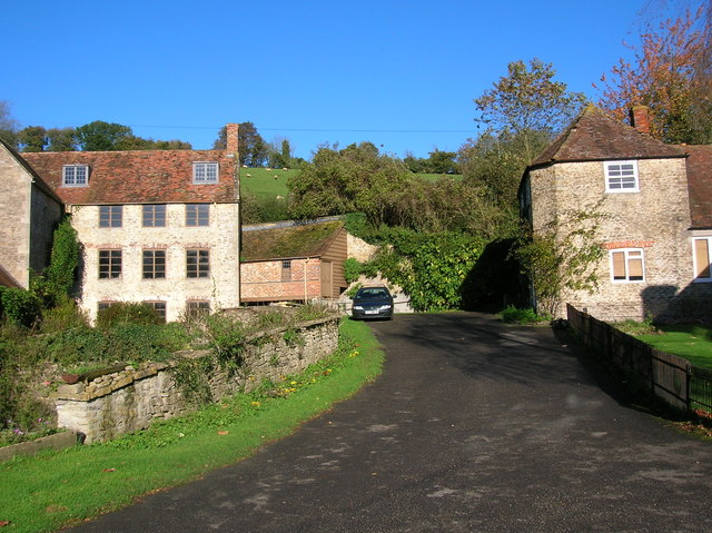
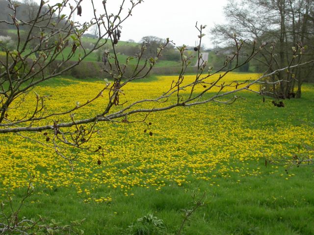
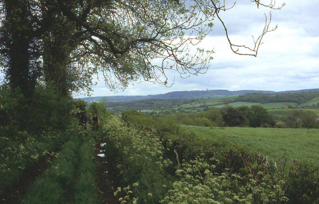
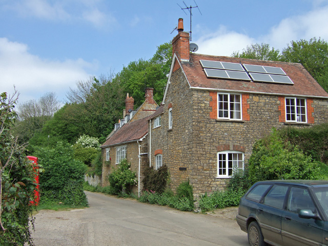
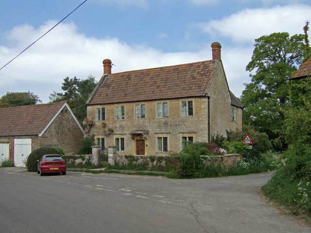
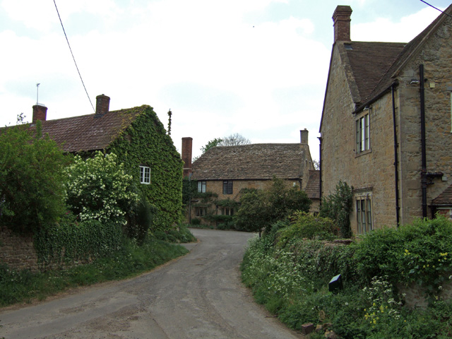
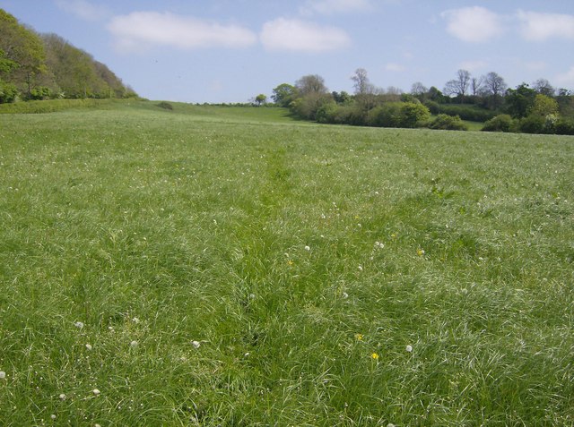
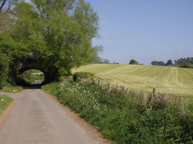
West End Images
Images are sourced within 2km of 51.110267/-2.461231 or Grid Reference ST6734. Thanks to Geograph Open Source API. All images are credited.
West End is located at Grid Ref: ST6734 (Lat: 51.110267, Lng: -2.461231)
Administrative County: Somerset
District: South Somerset
Police Authority: Avon and Somerset
What 3 Words
///hothouse.buffoon.customers. Near Bruton, Somerset
Related Wikis

Godminster Lane Quarry and Railway Cutting
Godminster Lane Quarry and Railway Cutting (grid reference ST682345) is a 0.8 hectare geological Site of Special Scientific Interest at Pitcombe in Somerset...

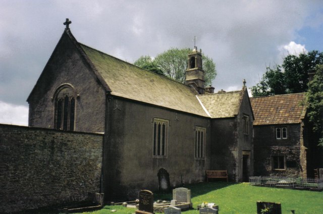
Sexey's Hospital
Sexey's Hospital in Bruton, Somerset, England was built around 1630 as almshouses. The West Wing and chapel have been designated as a Grade I listed building...
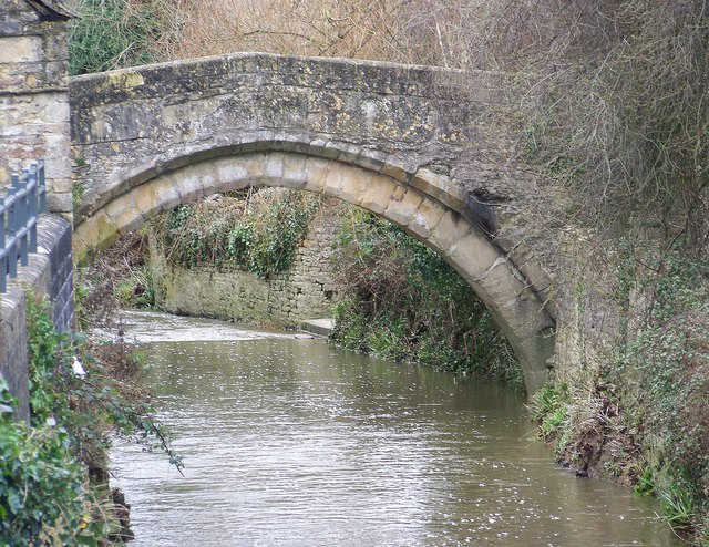
Bow Bridge, Plox
Bow Bridge is a 15th-century packhorse bridge over the River Brue in Plox, Bruton, Somerset, England. It has been designated as a Grade I listed building...
King's School, Bruton
King's Bruton is an independent fully co-educational secondary boarding and day school in the English public school tradition located in Bruton, Somerset...
Nearby Amenities
Located within 500m of 51.110267,-2.461231Have you been to West End?
Leave your review of West End below (or comments, questions and feedback).