End, West
Settlement in Somerset South Somerset
England
End, West
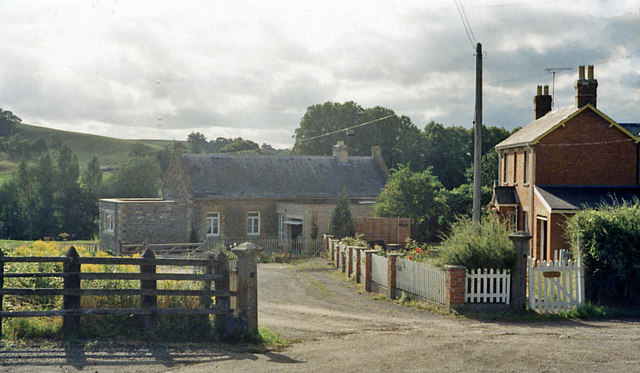
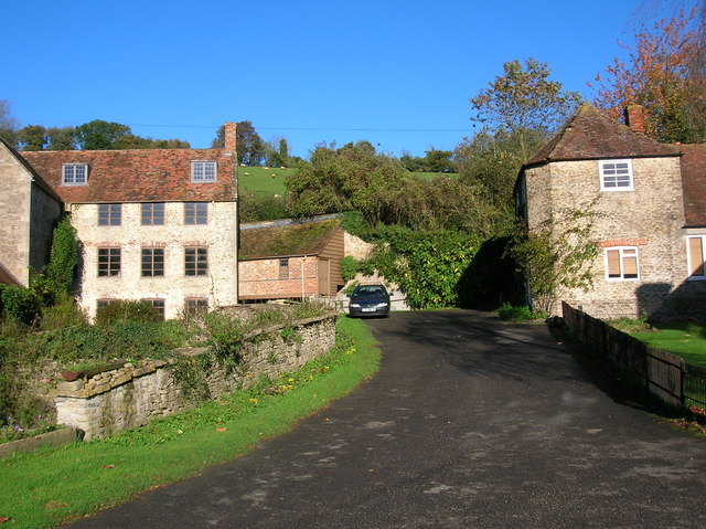
End, West Somerset is a small village situated in the county of Somerset, England. Nestled in the picturesque Exmoor National Park, it is surrounded by stunning natural beauty and offers a tranquil escape from the bustling city life. Located on the eastern edge of the park, End is known for its idyllic countryside settings, making it a popular destination for nature enthusiasts and hikers.
The village itself is characterized by its charming thatched cottages, traditional architecture, and a close-knit community. With a population of around 300 residents, End provides a friendly and welcoming atmosphere, embodying the quintessential English village charm.
End offers a range of amenities to cater to the needs of its residents and visitors. The village boasts a local pub, The End Inn, which serves traditional pub fare and provides a gathering place for locals and visitors alike. Additionally, there is a village hall that hosts various events and activities throughout the year, fostering a sense of community involvement.
For those seeking outdoor adventures, End is a gateway to the vast wilderness of Exmoor National Park. The park offers miles of walking trails, bridleways, and cycling routes, allowing visitors to explore its diverse landscapes, including moorlands, woodlands, and rivers. End is also in close proximity to popular attractions such as Dunkery Beacon, the highest point in Exmoor, and the picturesque village of Porlock.
Overall, End, West Somerset, presents a serene and picturesque destination with its natural beauty, traditional architecture, and strong community spirit. It is a place where visitors can immerse themselves in the tranquility of the countryside and experience the charm of a typical English village.
If you have any feedback on the listing, please let us know in the comments section below.
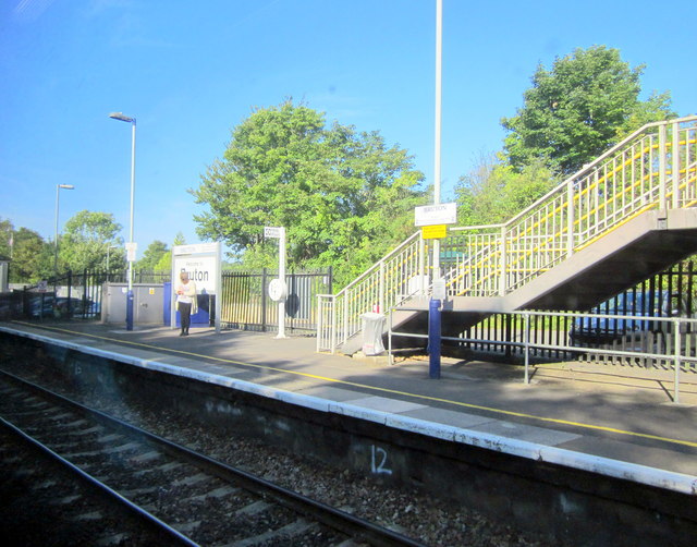
End, West Images
Images are sourced within 2km of 51.110267/-2.461231 or Grid Reference ST6734. Thanks to Geograph Open Source API. All images are credited.


End, West is located at Grid Ref: ST6734 (Lat: 51.110267, Lng: -2.461231)
Administrative County: Somerset
District: South Somerset
Police Authority: Avon and Somerset
What 3 Words
///hothouse.buffoon.customers. Near Bruton, Somerset
Related Wikis

Godminster Lane Quarry and Railway Cutting
Godminster Lane Quarry and Railway Cutting (grid reference ST682345) is a 0.8 hectare geological Site of Special Scientific Interest at Pitcombe in Somerset...

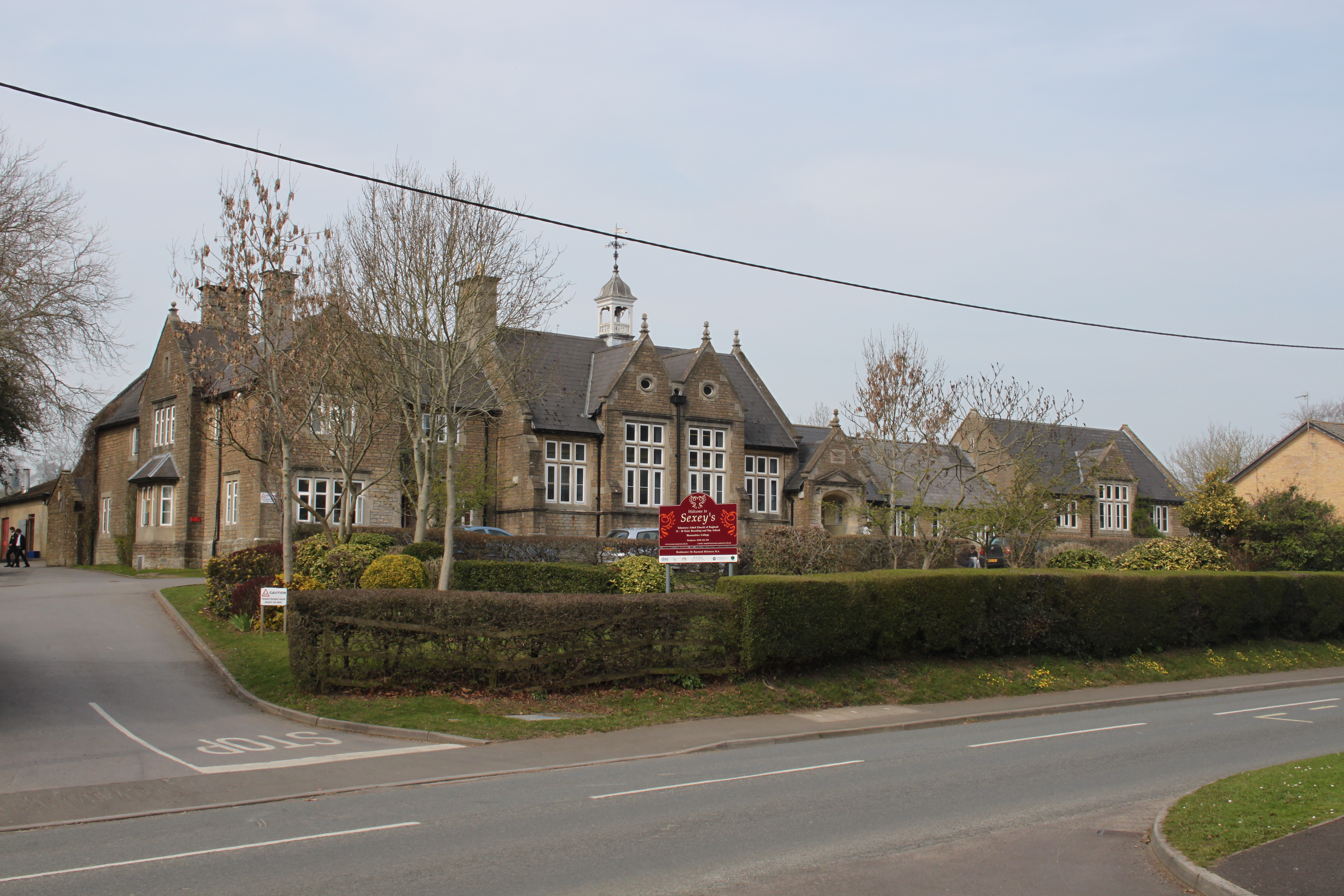
Sexey's Hospital
Sexey's Hospital in Bruton, Somerset, England was built around 1630 as almshouses. The West Wing and chapel have been designated as a Grade I listed building...
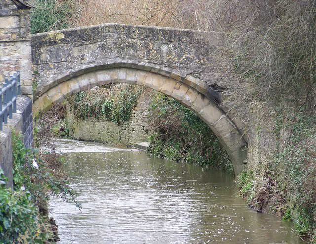
Bow Bridge, Plox
Bow Bridge is a 15th-century packhorse bridge over the River Brue in Plox, Bruton, Somerset, England. It has been designated as a Grade I listed building...
King's School, Bruton
King's Bruton is an independent fully co-educational secondary boarding and day school in the English public school tradition located in Bruton, Somerset...
Sexey's School
Sexey's School is a Church of England, co-educational state boarding and day school in Bruton, Somerset, England for 11-18 year olds. Sexey's School is...
Gants Mill
Gants Mill is a watermill on the River Brue in Pitcombe near Bruton, Somerset, England. Much of the current mill was built in 1810 but includes parts of...
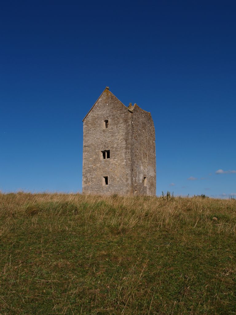
Bruton Dovecote
The Bruton Dovecote is a limestone tower that was built between the 15th and 17th century in Bruton in the English county of Somerset. The structure was...

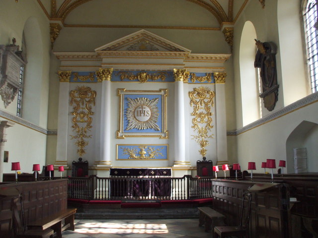
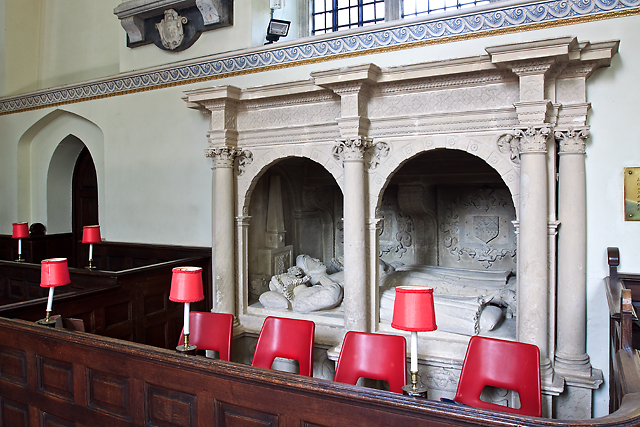
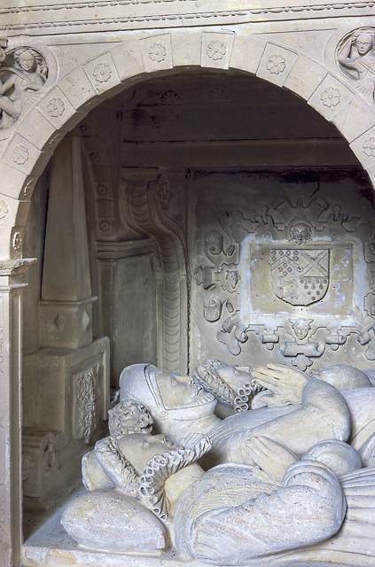
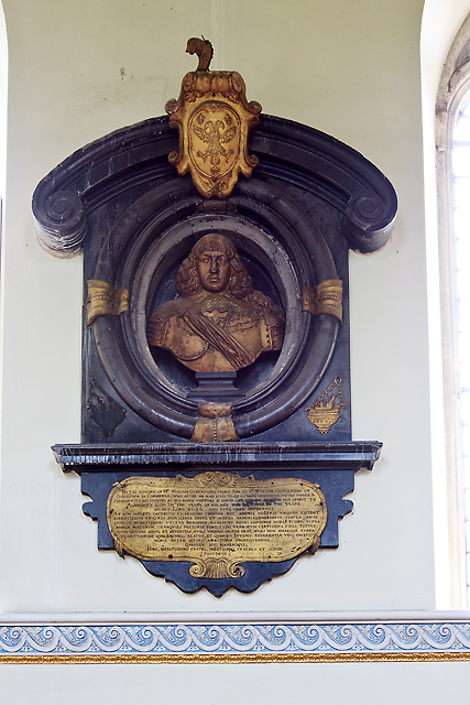
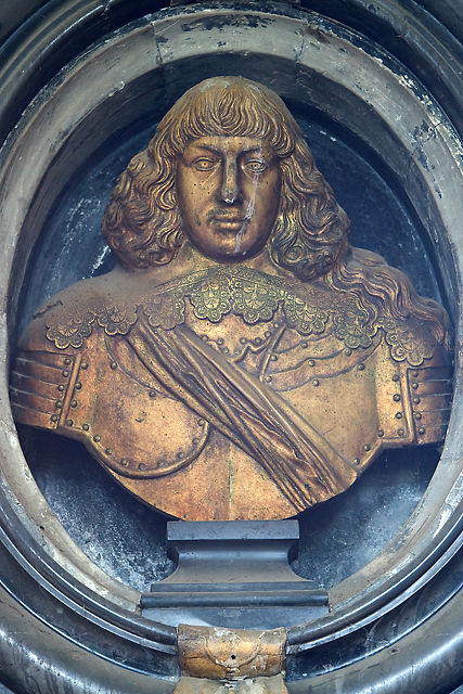
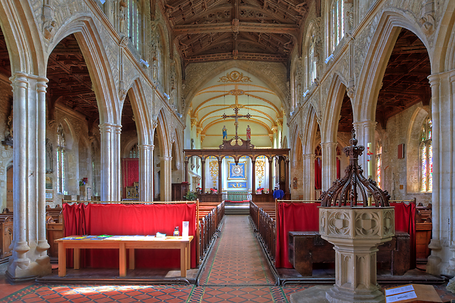
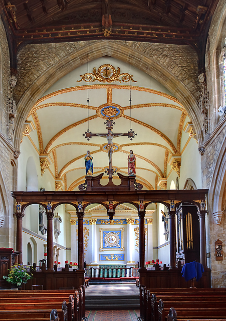
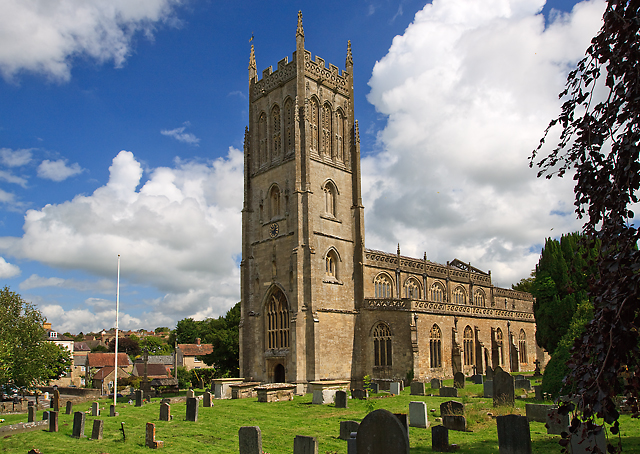
St Mary's Church, Bruton
The Church of St Mary in Bruton, Somerset, England was largely built in the 14th century. Like many Somerset churches, it has a very fine tower; less usually...
Nearby Amenities
Located within 500m of 51.110267,-2.461231Have you been to End, West?
Leave your review of End, West below (or comments, questions and feedback).