Akroydon
Settlement in Yorkshire
England
Akroydon
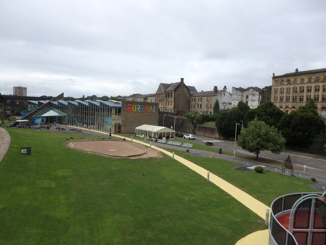
Akroydon is a small village located in the county of Yorkshire, England. Situated approximately 2 miles east of the town of Halifax, it is part of the Metropolitan Borough of Calderdale. The village is nestled in the picturesque Calder Valley, surrounded by rolling hills and scenic countryside.
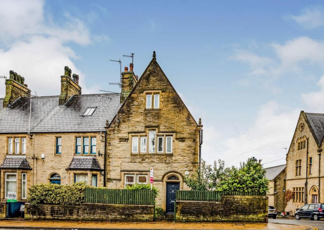
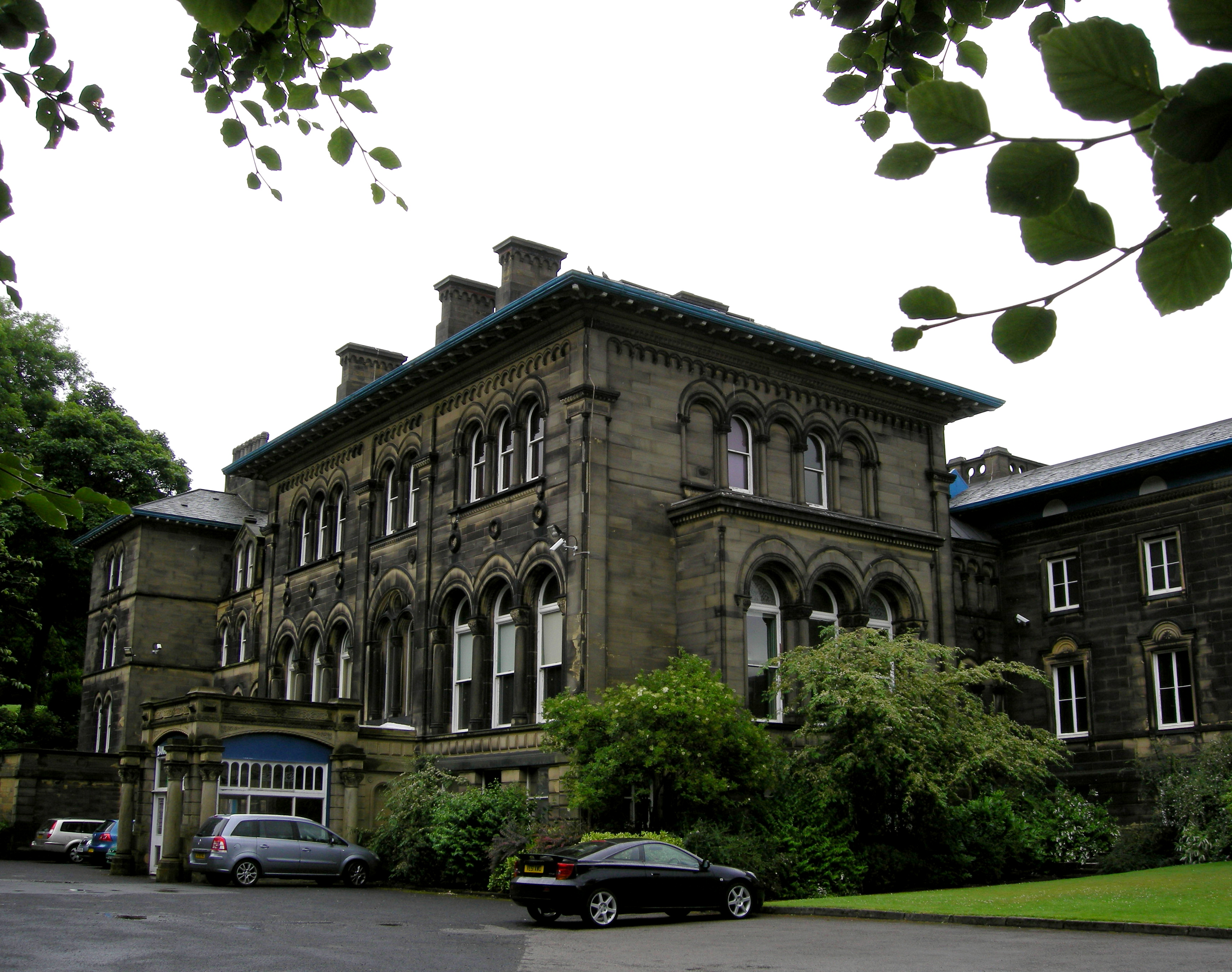
Akroydon has a rich history that dates back to the 19th century. It was originally built as a model village by the philanthropist Edward Akroyd, who sought to improve the living conditions of workers in his nearby textile mills. The village was designed in the Victorian architectural style and features a collection of distinctive terraced houses, known as Akroydon Model Village.
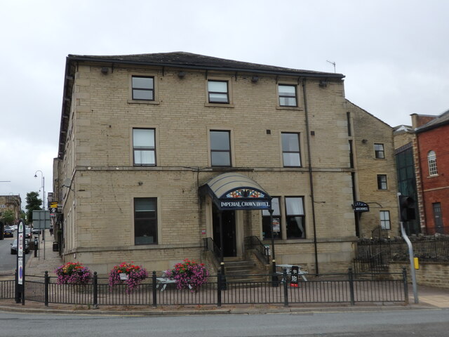
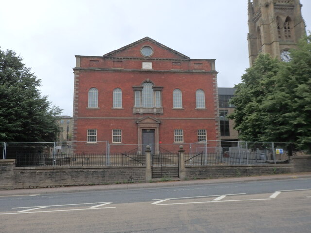
The village is characterized by its well-preserved buildings, many of which are now listed as historical landmarks. The architecture showcases intricate detailing and craftsmanship, with ornate facades, decorative brickwork, and large bay windows. The streets are lined with trees and green spaces, creating a tranquil atmosphere.
Despite its small size, Akroydon offers a range of amenities for its residents. The village has a local primary school, a community center, and a small number of shops and businesses. The nearby town of Halifax provides additional services and entertainment options.
Akroydon is also known for its strong sense of community. Residents take pride in preserving the village's heritage and organizing various events and activities throughout the year. The village's location in the beautiful Calder Valley makes it an attractive destination for nature lovers and outdoor enthusiasts, with opportunities for walking, hiking, and cycling in the surrounding countryside.
If you have any feedback on the listing, please let us know in the comments section below.
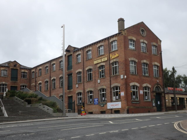
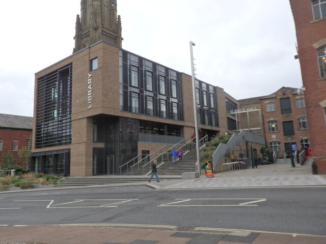
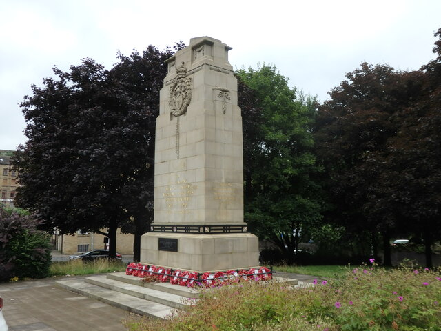
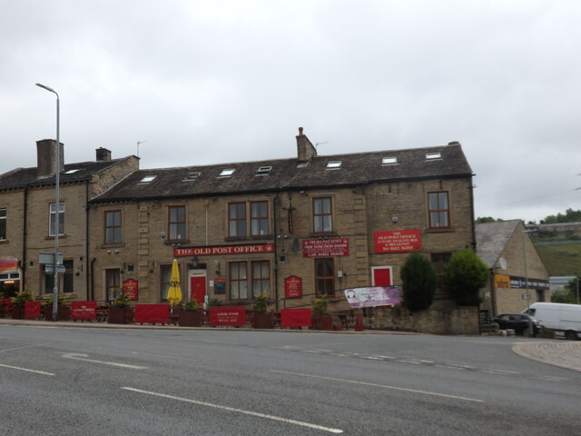
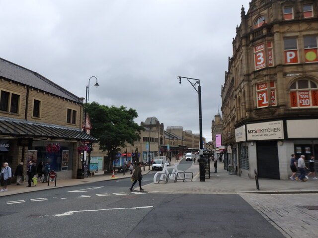
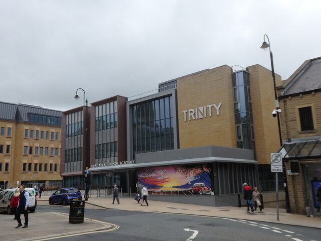
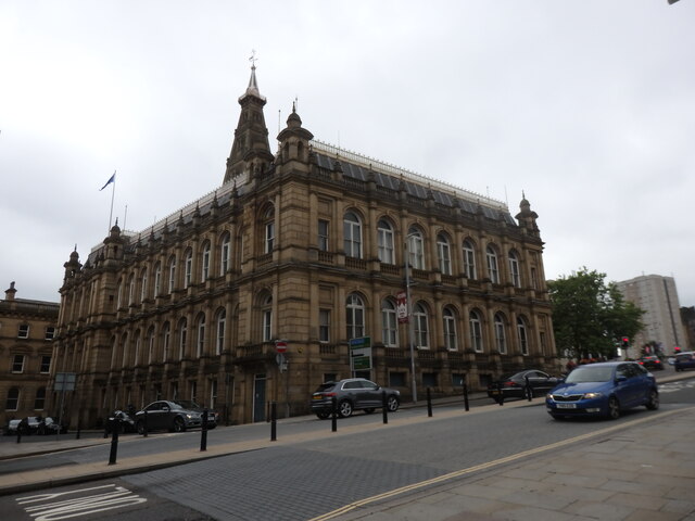
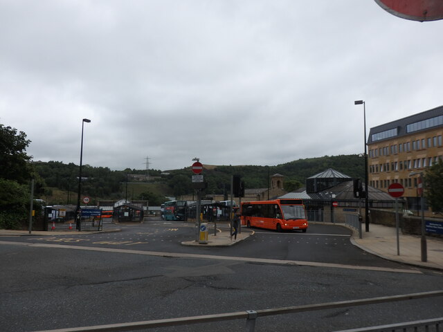
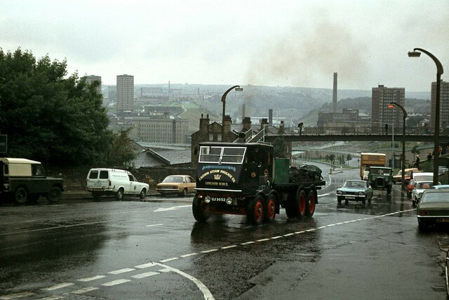
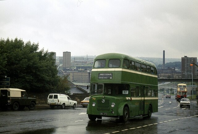
Akroydon Images
Images are sourced within 2km of 53.733014/-1.865812 or Grid Reference SE0826. Thanks to Geograph Open Source API. All images are credited.


Akroydon is located at Grid Ref: SE0826 (Lat: 53.733014, Lng: -1.865812)
Division: West Riding
Unitary Authority: Calderdale
Police Authority: West Yorkshire
What 3 Words
///proven.humans.mental. Near Halifax, West Yorkshire
Related Wikis
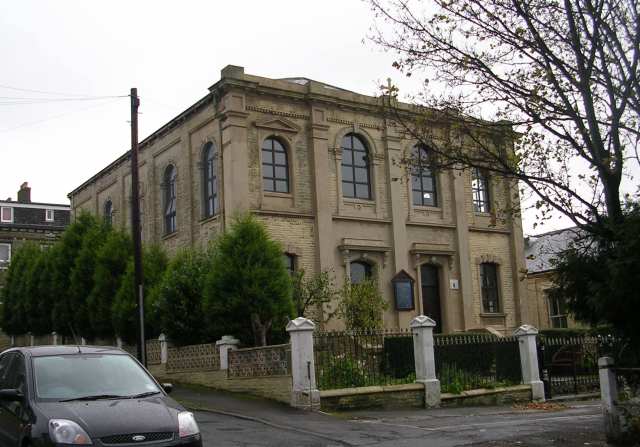
Akroydon
The Akroydon model housing scheme is a Victorian-era model village at Boothtown, Halifax, in the Metropolitan Borough of Calderdale in West Yorkshire,...
Bankfield Museum
Bankfield Museum is a grade II listed historic house museum, incorporating a regimental museum and textiles gallery in Boothtown, Halifax, England. It...
Serbian Orthodox Church, Halifax
The Saint John the Baptist Church (Serbian: Црква светог Јована Крститеља, romanized: Crkva svetog Jovana Krstitelja) is a Serbian Orthodox church in the...
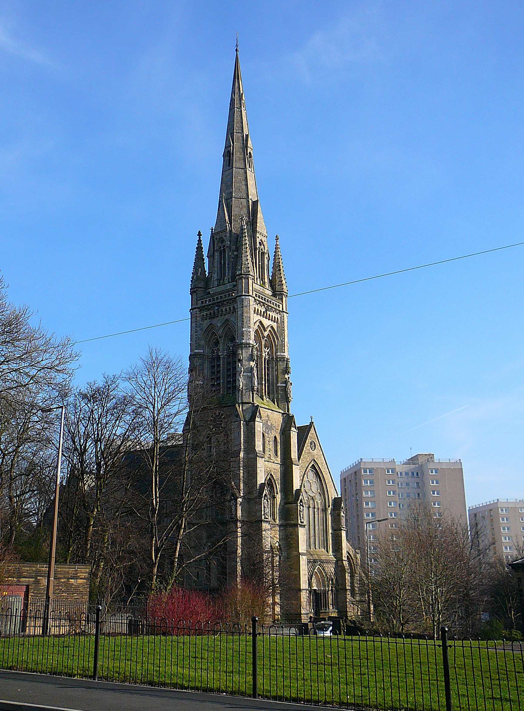
All Souls' Church, Halifax
All Souls Church, Halifax, is a redundant Anglican church in Haley Hill, Halifax, West Yorkshire, England. It is recorded in the National Heritage List...

Woodside Viaduct
Woodside Viaduct was a railway bridge in Halifax, West Yorkshire, England. It had six arches and was situated between Woodside (Old Lane) Tunnel and Lee...
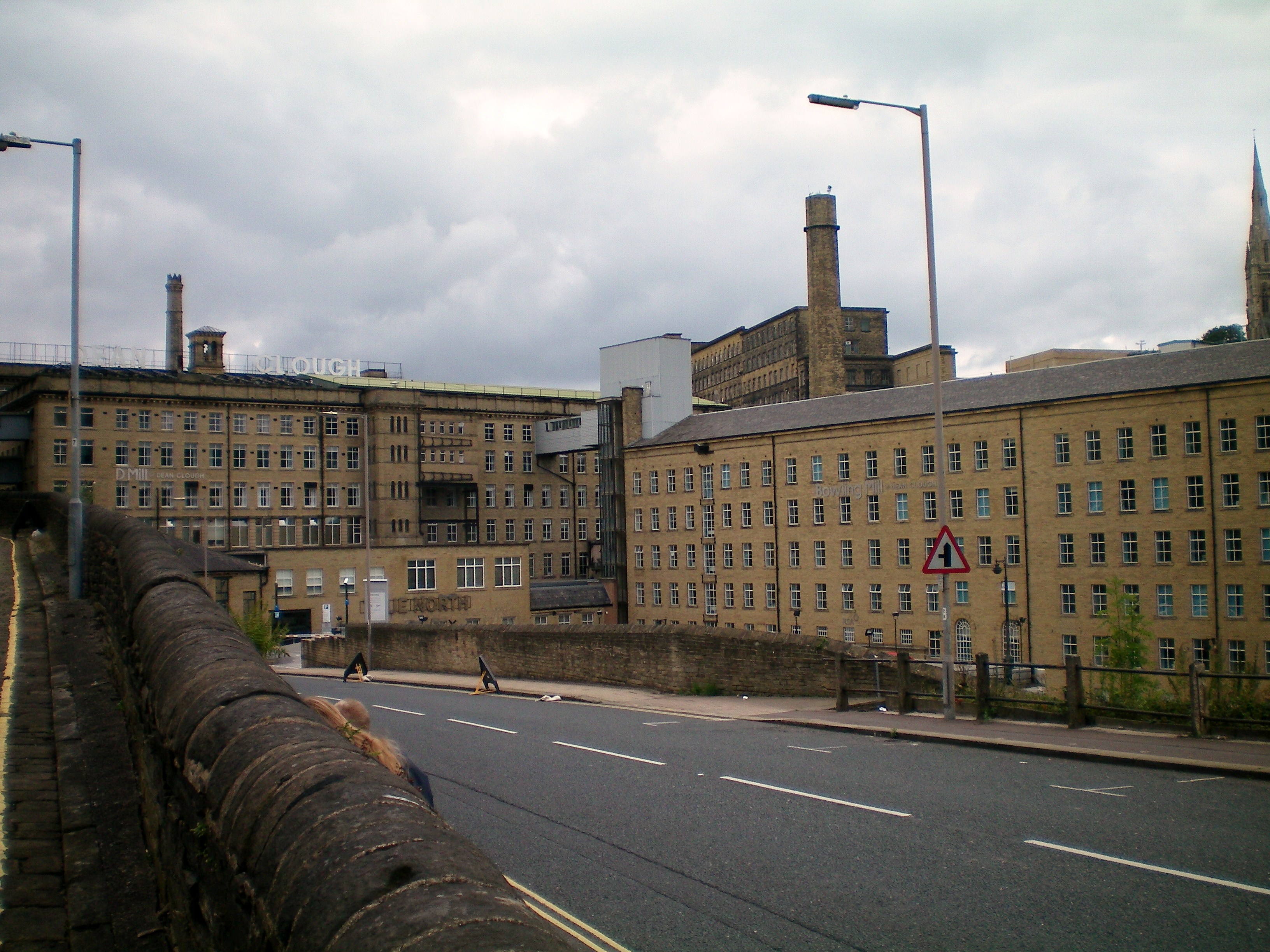
Dean Clough
Dean Clough in Halifax, Calderdale, West Yorkshire, England, is a group of large factory buildings built in the 1840s–60s for Crossley's Carpets, becoming...
Phoenix Radio
Phoenix Radio 96.7 FM is a local radio station based in Halifax, in West Yorkshire, England. It broadcasts on the FM frequency, 24 hours a day to the Metropolitan...

Boothtown
Boothtown is a suburb of Halifax, West Yorkshire, England, which falls within Town Ward, one of the 17 wards of Calderdale. Its history was dominated by...
Nearby Amenities
Located within 500m of 53.733014,-1.865812Have you been to Akroydon?
Leave your review of Akroydon below (or comments, questions and feedback).