Woodside

Settlement in Yorkshire

England

Woodside

Eureka! The National Children's Museum, Halifax
Eureka! The National Children's Museum, Halifax Credit: Stephen Armstrong

Woodside is a charming village located in the picturesque region of Yorkshire, England. Situated in the eastern part of the county, Woodside is nestled amidst lush green countryside and offers a tranquil setting for its residents and visitors alike.

The village boasts a rich history dating back several centuries. It is dotted with traditional stone cottages that exude a rustic charm, reflecting the architectural heritage of the region. Its narrow winding streets and quaint village square create a sense of nostalgia, transporting visitors back in time.

Woodside is home to a close-knit community that takes pride in preserving its rural character. The village has a range of amenities to cater to the needs of its residents, including a local pub, a village hall, and a small convenience store. The friendly atmosphere and warm hospitality of the locals make Woodside a welcoming place for visitors to experience the true essence of Yorkshire.

Surrounded by beautiful countryside, Woodside offers ample opportunities for outdoor activities. The nearby woodlands and rolling hills provide scenic walking and cycling trails, attracting nature enthusiasts and outdoor lovers. The village also benefits from its proximity to several notable landmarks, such as historic castles, stately homes, and charming market towns, making it an ideal base for exploring the wider Yorkshire region.

In summary, Woodside is a quaint village in Yorkshire that offers a peaceful and idyllic retreat for those seeking a slice of rural life. With its rich history, beautiful surroundings, and friendly community, it is a destination that captures the essence of the region and leaves a lasting impression on all who visit.

If you have any feedback on the listing, please let us know in the comments section below.
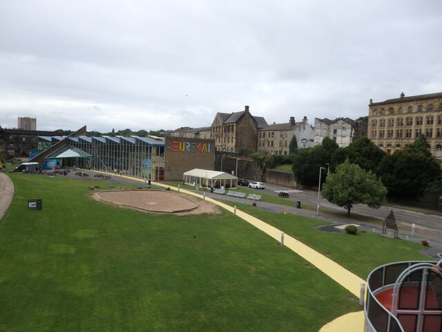
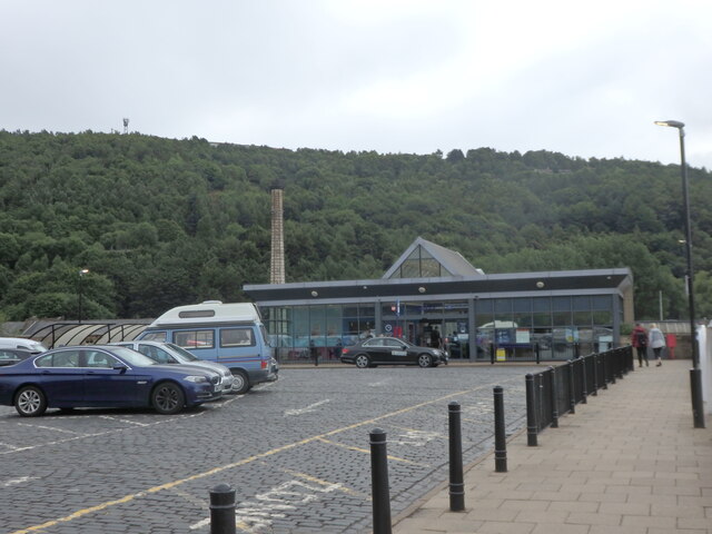
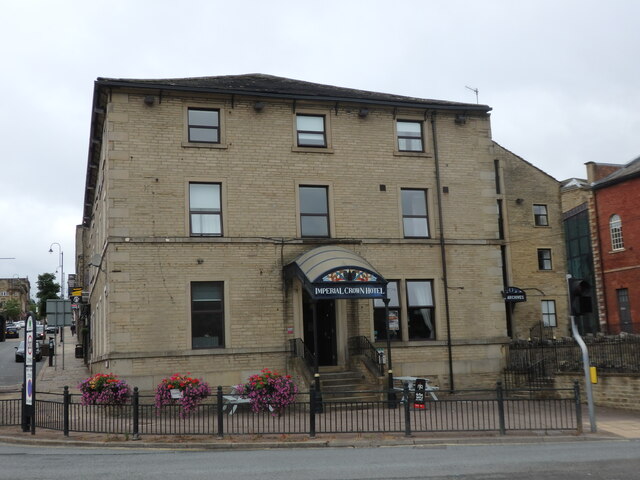
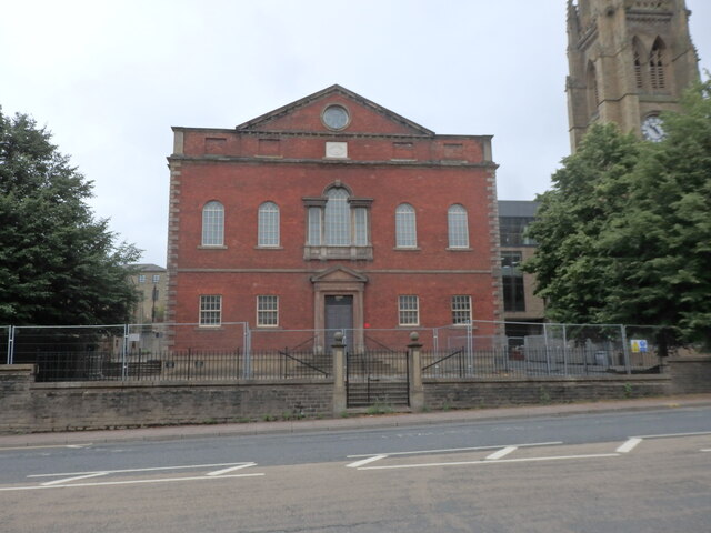
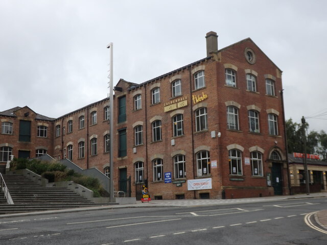
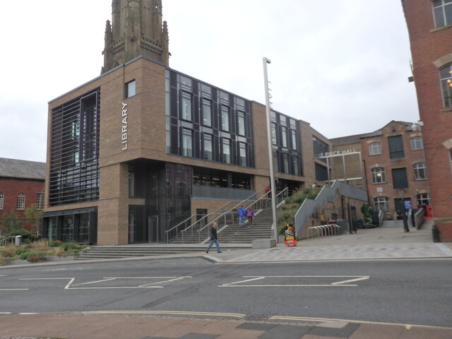
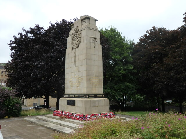
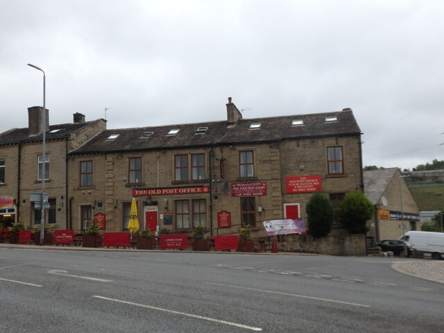
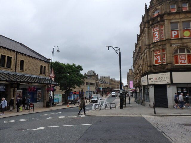
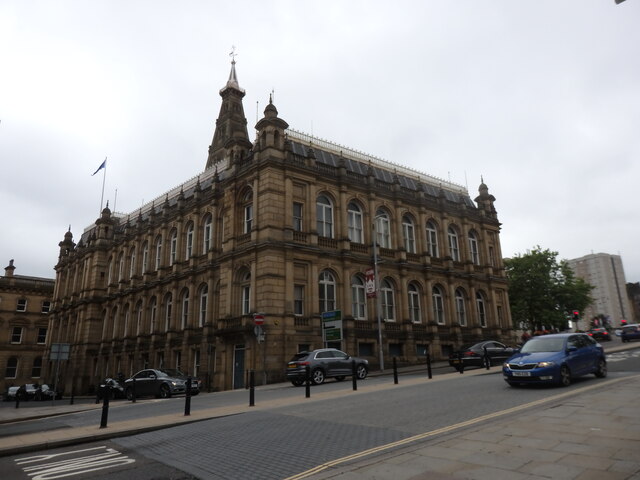
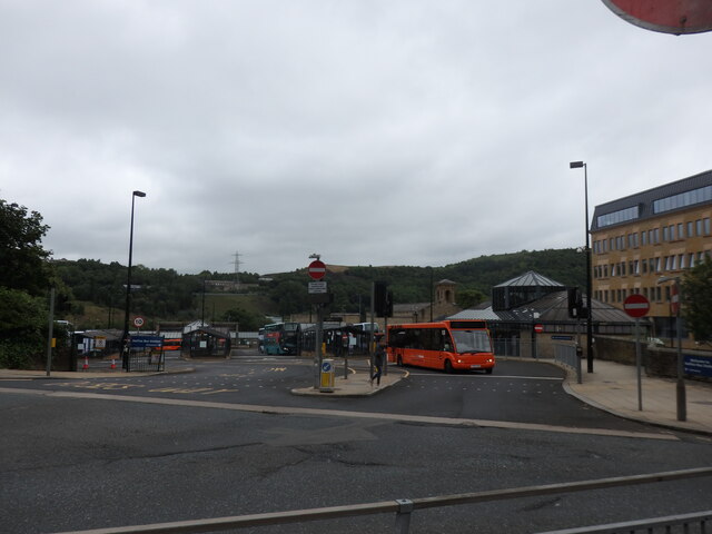
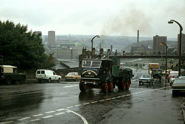
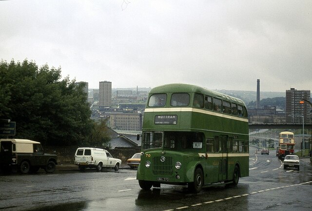
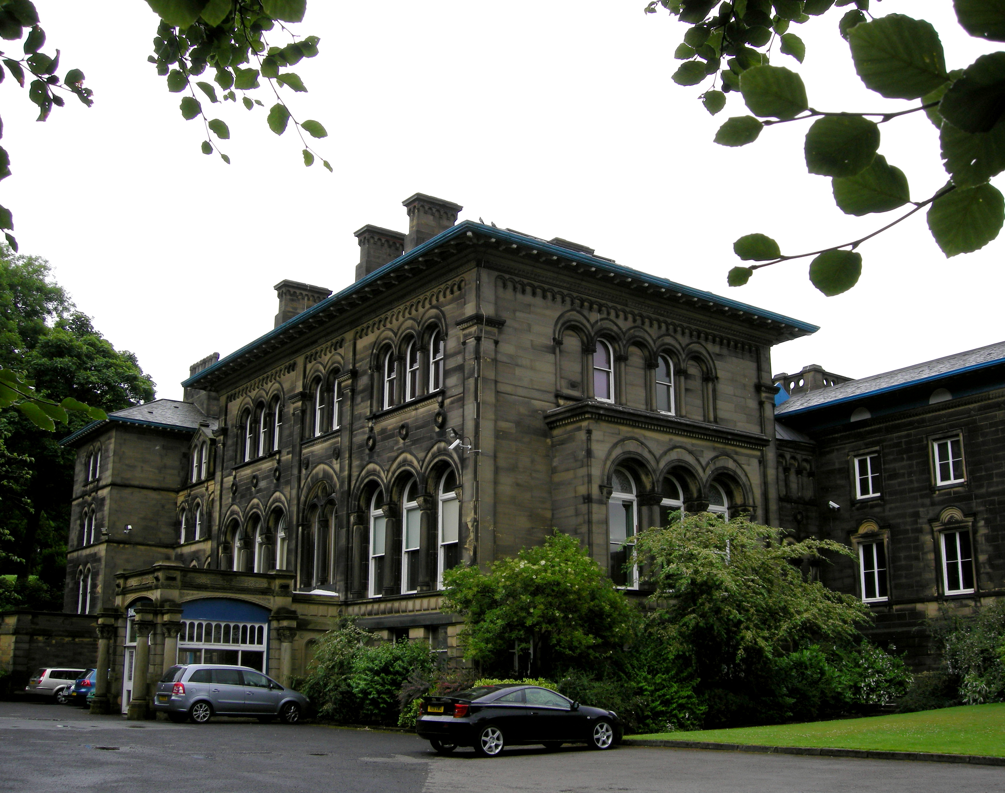
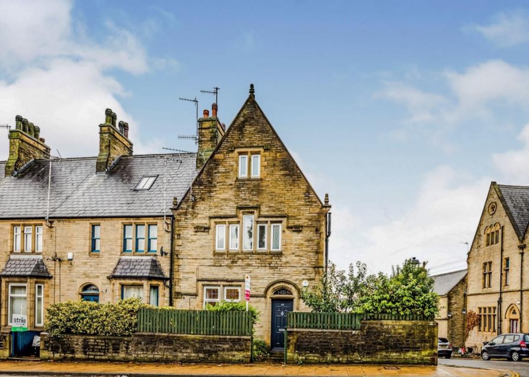
Woodside Images

Images are sourced within 2km of 53.730429/-1.8655921 or Grid Reference SE0826. Thanks to Geograph Open Source API. All images are credited.

Eureka! The National Children's Museum, Halifax
Halifax Station Entrance, Horton Street
Imperial Crown Hotel, Halifax Situated at the corner of Square Road & Horton Street, facing Halifax Railway Station.
Imperial Crown Hotel, Halifax
Situated at the corner of Square Road & Horton Street, facing Halifax Railway Station.
The Square Chapel, Square Road, Halifax A Grade II Listed former Congregational Church & Sunday School dating from 1772. It is now an Arts Centre / Performance Space / Wedding Venue.
The Square Chapel, Square Road, Halifax
A Grade II Listed former Congregational Church & Sunday School dating from 1772. It is now an Arts Centre / Performance Space / Wedding Venue.
Calderdale Industrial Museum, Square Road, Halifax
Central Library, Square Road, Halifax
Halifax War Memorial, Duffy's Park, King Street Originally stood in Belle Vue Park. It was moved to its present site close to the Parish Church C1980. Grade II Listed, dated 1922, but altered 1947.
Halifax War Memorial, Duffy's Park, King Street
Originally stood in Belle Vue Park. It was moved to its present site close to the Parish Church C1980. Grade II Listed, dated 1922, but altered 1947.
The Old Post Office, Winding Road, Halifax
Market Street, Halifax Looking south from the bottom of Old Market.
Market Street, Halifax
Looking south from the bottom of Old Market.
Trinity Sixth Form Academy, Market Street, Halifax A new Sixth Form College which opened in September 2020, in the former Central Library building. The library is now located on Square Road. <a href="https://www.geograph.org.uk/photo/6925319">SE0925 : Central Library, Square Road, Halifax</a>
Trinity Sixth Form Academy, Market Street, Halifax
A new Sixth Form College which opened in September 2020, in the former Central Library building. The library is now located on Square Road. SE0925 : Central Library, Square Road, Halifax
Halifax Town Hall Viewed across the A629 Broad Street. Grade II Listed 1863.
Halifax Town Hall
Viewed across the A629 Broad Street. Grade II Listed 1863.
Halifax Bus Station
Halifax Bus Station
Climbing New Bank, Halifax – 1978 -1 On the Trans Pennine Run for commercial vehicles, which is the northern complement to the London to Brighton run for similar vehicles. This is a Sentinel S8 steam lorry, the sole survivor of just 9 of the type built, dating from 1933. The S series was the final flowering of steam road vehicles, with performance at least the match of diesel lorries of the time, although the latter were improving rapidly and were cheaper and easier to run.

The road layout has changed significantly since 1978 with only westbound traffic using the viaduct <a title="https://www.geograph.org.uk/photo/1524040" href="https://www.geograph.org.uk/photo/1524040">Link</a>
Climbing New Bank, Halifax – 1978 -1
On the Trans Pennine Run for commercial vehicles, which is the northern complement to the London to Brighton run for similar vehicles. This is a Sentinel S8 steam lorry, the sole survivor of just 9 of the type built, dating from 1933. The S series was the final flowering of steam road vehicles, with performance at least the match of diesel lorries of the time, although the latter were improving rapidly and were cheaper and easier to run. The road layout has changed significantly since 1978 with only westbound traffic using the viaduct Link
Climbing New Bank, Halifax – 1978 -2 On the Trans Pennine Run for commercial vehicles, which is the northern complement to the London to Brighton run for similar vehicles.

The word 'unique' is often misused, but does apply to this bus, as it was the only double-deck bus built by the Preston firm Atkinson, much better known for their lorry production. It was built in 1954 for the Stalybridge, Hyde, Mossley and Dukinfield Transport and Electricity Board, generally known as the SHMD Joint Board, with bodywork by Northern Counties of Wigan. It was unusual in having a central entrance which was a peculiarity of the operator. The bus behind is also of interest. It is one of a small number of buses built by AEC to London Transport's RT specification for operators other than London Transport itself, in this case St Helens Corporation.

The road layout has changed significantly since 1978 with only westbound traffic using the viaduct <a title="https://www.geograph.org.uk/photo/1524040" href="https://www.geograph.org.uk/photo/1524040">Link</a>

This is one of a series of views featuring buses in the 60s, 70s, and 80s. <a title="https://www.geograph.org.uk/search.php?i=137652761" href="https://www.geograph.org.uk/search.php?i=137652761">Link</a>
Climbing New Bank, Halifax – 1978 -2
On the Trans Pennine Run for commercial vehicles, which is the northern complement to the London to Brighton run for similar vehicles. The word 'unique' is often misused, but does apply to this bus, as it was the only double-deck bus built by the Preston firm Atkinson, much better known for their lorry production. It was built in 1954 for the Stalybridge, Hyde, Mossley and Dukinfield Transport and Electricity Board, generally known as the SHMD Joint Board, with bodywork by Northern Counties of Wigan. It was unusual in having a central entrance which was a peculiarity of the operator. The bus behind is also of interest. It is one of a small number of buses built by AEC to London Transport's RT specification for operators other than London Transport itself, in this case St Helens Corporation. The road layout has changed significantly since 1978 with only westbound traffic using the viaduct Link This is one of a series of views featuring buses in the 60s, 70s, and 80s. Link
The former Christ Church School, Pellon, Halifax This is a revisit to the first geograph for the square <a href="https://www.geograph.org.uk/photo/39495">SE0726 : Pellon Community Centre</a>, taken in August 2005. The school building appears to be disused at present.
The former Christ Church School, Pellon, Halifax
This is a revisit to the first geograph for the square SE0726 : Pellon Community Centre, taken in August 2005. The school building appears to be disused at present.
Skircoat Road, Halifax This is a revisit to the first geograph for the square <a href="https://www.geograph.org.uk/photo/943">SE0924 : Skircoat Road</a>, taken in January 2005. The bus lane now has parking places in it and there are parking meters. This is presumably to raise money from the football fans attending matches at The Shay.
Skircoat Road, Halifax
This is a revisit to the first geograph for the square SE0924 : Skircoat Road, taken in January 2005. The bus lane now has parking places in it and there are parking meters. This is presumably to raise money from the football fans attending matches at The Shay.
Westgate Arcade on Market Street
Exhibition at the Piece Hall
Show me another place!

Woodside is located at Grid Ref: SE0826 (Lat: 53.730429, Lng: -1.8655921)

Division: West Riding

Unitary Authority: Calderdale

Police Authority: West Yorkshire

What 3 Words

///rotate.wished.bunny. Near Halifax, West Yorkshire

Related Wikis

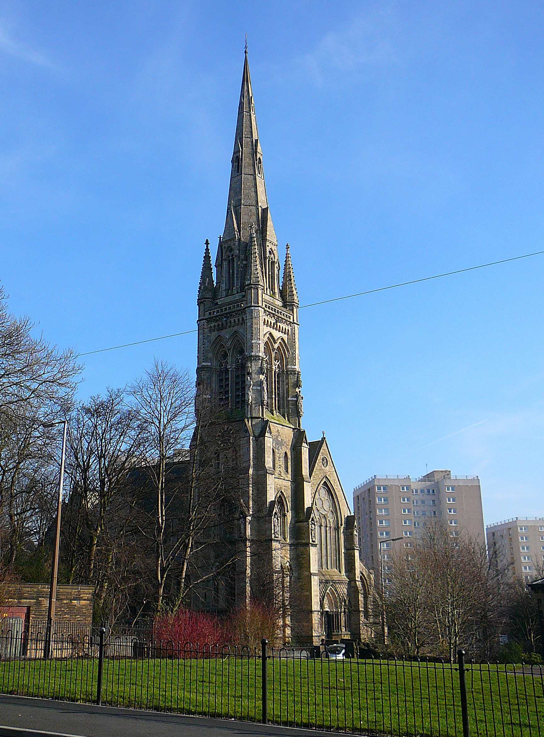
All Souls' Church, Halifax

All Souls Church, Halifax, is a redundant Anglican church in Haley Hill, Halifax, West Yorkshire, England. It is recorded in the National Heritage List...

Woodside Viaduct

Woodside Viaduct was a railway bridge in Halifax, West Yorkshire, England. It had six arches and was situated between Woodside (Old Lane) Tunnel and Lee...

Bankfield Museum

Bankfield Museum is a grade II listed historic house museum, incorporating a regimental museum and textiles gallery in Boothtown, Halifax, England. It...

Akroydon

The Akroydon model housing scheme is a Victorian-era model village at Boothtown, Halifax, in the Metropolitan Borough of Calderdale in West Yorkshire,...

Nearby Amenities

Located within 500m of 53.730429,-1.8655921
Boothtown
Is In: Halifax
Place: suburb
Source: npe
Wikidata: Q4943959
Lat/Long: 53.7329405/-1.8641677
Traffic Signals
Lat/Long: 53.7264427/-1.8629158
Crossing
Crossing: traffic_signals
Kerb: lowered
Tactile Paving: yes
Lat/Long: 53.7311439/-1.8637566
Bus Stop
Boothtown Road Iona Street
Bus: yes
Local Ref: 45015774
Naptan AtcoCode: 450015774
Naptan Bearing: S
Naptan CommonName: Boothtown Road Iona Street
Naptan Crossing: Iona Street
Naptan Indicator: Stop 45015774
Naptan Notes: Advert panels fitted 040907
Naptan PlusbusZoneRef: LEEDS
Naptan ShortCommonName: Iona Street
Naptan Street: Boothtown Road
Naptan Verified: no
Public Transport: platform
Source: naptan_import
Lat/Long: 53.7348789/-1.8655811
Bus Stop
Boothtown Road Chester Road
Local Ref: 45015775
Naptan AtcoCode: 450015775
Naptan Bearing: N
Naptan CommonName: Boothtown Road Chester Road
Naptan Crossing: Chester Road
Naptan Indicator: Stop 45015775
Naptan Landmark: The Flying Dutchman PH
Naptan PlusbusZoneRef: LEEDS
Naptan ShortCommonName: Chester Road
Naptan Street: Boothtown Road
Naptan Verified: no
Source: naptan_import
Lat/Long: 53.7339437/-1.8652505
Bus Stop
Boothtown Road Bankfield Yard
Local Ref: 45015776
Naptan AtcoCode: 450015776
Naptan Bearing: S
Naptan CommonName: Boothtown Road Bankfield Yard
Naptan Crossing: Bankfield Yard
Naptan Indicator: Stop 45015776
Naptan Landmark: OAP Home - Adj Bankfield Museum
Naptan PlusbusZoneRef: LEEDS
Naptan ShortCommonName: Bankfield Yard
Naptan Street: Boothtown Road
Naptan Verified: no
Source: naptan_import
Lat/Long: 53.7332961/-1.8647827
Bus Stop
Boothtown Road Woodside Terrace
Local Ref: 45015777
Naptan AtcoCode: 450015777
Naptan Bearing: N
Naptan CommonName: Boothtown Road Woodside Terrace
Naptan Crossing: WoodsideTerrace
Naptan Indicator: Stop 45015777
Naptan Landmark: Akroyd Park & Bankfield Museum
Naptan Notes: L/C (no num)
Naptan PlusbusZoneRef: LEEDS
Naptan ShortCommonName: Woodside Terrace
Naptan Street: Boothtown Road
Naptan Verified: no
Source: naptan_import
Lat/Long: 53.7317134/-1.864136
Bus Stop
Boothtown Road Woodside Grove
Local Ref: 45015778
Naptan AtcoCode: 450015778
Naptan Bearing: S
Naptan CommonName: Boothtown Road Woodside Grove
Naptan Crossing: Woodside Grove
Naptan Indicator: Stop 45015778
Naptan Landmark: Akroyd Park & Bankfield Museum
Naptan PlusbusZoneRef: LEEDS
Naptan ShortCommonName: Woodside Grove
Naptan Street: Boothtown Road
Naptan Verified: no
Source: naptan_import
Lat/Long: 53.7315333/-1.8638788
Bus Stop
Haley Hill All Souls Road
Local Ref: 45015779
Naptan AtcoCode: 450015779
Naptan Bearing: NW
Naptan CommonName: Haley Hill All Souls Road
Naptan Crossing: All Souls Road
Naptan Indicator: Stop 45015779
Naptan Landmark: All Souls Church
Naptan PlusbusZoneRef: LEEDS
Naptan ShortCommonName: All Souls Road
Naptan Street: Haley Hill
Naptan Verified: no
Source: naptan_import
Lat/Long: 53.7301843/-1.8632011
Bus Stop
Haley Hill Poplar Street
Local Ref: 45015780
Naptan AtcoCode: 450015780
Naptan Bearing: SE
Naptan CommonName: Haley Hill Poplar Street
Naptan Crossing: Poplar Street
Naptan Indicator: Stop 45015780
Naptan PlusbusZoneRef: LEEDS
Naptan ShortCommonName: Poplar Street
Naptan Street: Haley Hill
Naptan Verified: no
Source: naptan_import
Lat/Long: 53.7297522/-1.8626417
Bus Stop
Haley Hill Range Lane
Local Ref: 45015781
Naptan AtcoCode: 450015781
Naptan Bearing: SE
Naptan CommonName: Haley Hill Range Lane
Naptan Crossing: Range Lane
Naptan Indicator: Stop 45015781
Naptan PlusbusZoneRef: LEEDS
Naptan ShortCommonName: Range Lane
Naptan Street: Haley Hill
Naptan Verified: no
Source: naptan_import
Lat/Long: 53.7290228/-1.8614466
Bus Stop
Cross Hills Northgate
Local Ref: 45015783
Naptan AtcoCode: 450015783
Naptan Bearing: NW
Naptan CommonName: Cross Hills Northgate
Naptan Crossing: Northgate
Naptan Indicator: Stop 45015783
Naptan Landmark: Dean Clough Business Park
Naptan PlusbusZoneRef: LEEDS
Naptan ShortCommonName: Northgate
Naptan Street: Cross Hills
Naptan Verified: no
Source: naptan_import
Lat/Long: 53.7271076/-1.8608315
Bus Stop
Dean Clough
Local Ref: 45015784
Naptan AtcoCode: 450015784
Naptan Bearing: E
Naptan CommonName: Dean Clough
Naptan Crossing: Nr-Opp Crib Lane
Naptan Indicator: Stop 45015784
Naptan Landmark: Dean Clough Business Park
Naptan PlusbusZoneRef: LEEDS
Naptan ShortCommonName: Dean Clough
Naptan Street: Dean Clough
Naptan Verified: no
Source: naptan_import
Lat/Long: 53.7277569/-1.8626936
Bus Stop
Dean Clough
Local Ref: 45015785
Naptan AtcoCode: 450015785
Naptan Bearing: W
Naptan CommonName: Dean Clough
Naptan Indicator: Stop 45015785
Naptan Landmark: Dean Clough Office Park
Naptan PlusbusZoneRef: LEEDS
Naptan ShortCommonName: Crib Lane
Naptan Street: Dean Clough
Naptan Verified: no
Source: naptan_import
Lat/Long: 53.7279205/-1.8643301
Bus Stop
Lee Bridge
Bench: no
Bin: no
Lit: no
Local Ref: 45015786
Naptan AtcoCode: 450015786
Naptan Bearing: SE
Naptan CommonName: Lee Bridge
Naptan Indicator: Stop 45015786
Naptan Landmark: Dean Clough Office Park
Naptan PlusbusZoneRef: LEEDS
Naptan ShortCommonName: Lee Bridge
Naptan Street: Lee Bridge
Naptan Verified: no
Shelter: no
Source: naptan_import
Tactile Paving: no
Lat/Long: 53.7287966/-1.8680862
Bus Stop
Lee Bridge
Bench: no
Bin: no
Lit: no
Local Ref: 45015787
Naptan AtcoCode: 450015787
Naptan Bearing: NW
Naptan CommonName: Lee Bridge
Naptan Indicator: Stop 45015787
Naptan Landmark: Dean Clough Office Park
Naptan PlusbusZoneRef: LEEDS
Naptan ShortCommonName: Lee Bridge
Naptan Street: Lee Bridge
Naptan Verified: no
Shelter: no
Source: naptan_import
Tactile Paving: no
Lat/Long: 53.7286527/-1.8680261
Bus Stop
Lee Bridge Shroggs Road
Bench: no
Bin: no
Lit: no
Local Ref: 45015788
Naptan AtcoCode: 450015788
Naptan Bearing: E
Naptan CommonName: Lee Bridge Shroggs Road
Naptan Crossing: Sgroggs Road
Naptan Indicator: Stop 45015788
Naptan PlusbusZoneRef: LEEDS
Naptan ShortCommonName: Shroggs Road
Naptan Street: Lee Bridge
Naptan Verified: no
Shelter: no
Source: naptan_import
Tactile Paving: yes
Lat/Long: 53.7297069/-1.8703419
Bus Stop
Shroggs Road Lee Bridge
Local Ref: 45017484
Naptan AtcoCode: 450017484
Naptan Bearing: NE
Naptan CommonName: Shroggs Road Lee Bridge
Naptan Crossing: Lee Bridge
Naptan Indicator: Stop 45017484
Naptan PlusbusZoneRef: LEEDS
Naptan ShortCommonName: Lee Bridge
Naptan Street: Shroggs Road
Naptan Verified: no
Source: naptan_import
Lat/Long: 53.7299952/-1.8709928
Bus Stop
Haley Hill Range Lane
Local Ref: 45023845
Naptan AtcoCode: 450023845
Naptan Bearing: NW
Naptan CommonName: Haley Hill Range Lane
Naptan Crossing: Range Lane
Naptan Indicator: Stop 45023845
Naptan Landmark: Lidl Supermarket
Naptan PlusbusZoneRef: LEEDS
Naptan ShortCommonName: Range Lane
Naptan Street: Haley Hill
Naptan Verified: no
Source: naptan_import
Lat/Long: 53.7291132/-1.8619314
Mini Roundabout
Direction: clockwise
Lat/Long: 53.7295178/-1.8719714
Give Way
Lat/Long: 53.7287725/-1.8589166
Post Office
Boothtown Post Office
Addr City: Halifax
Addr Postcode: HX3 6NE
Brand: Post Office
Brand Wikidata: Q1783168
Ref Pol Id: 11273
Source: OS OpenData StreetView
Lat/Long: 53.7345378/-1.8653119
Police
Halifax Police Station
Lat/Long: 53.7263571/-1.8648595
Fast Food
KFC
Alt Name: Kentucky Fried Chicken
Brand: KFC
Brand Wikidata: Q524757
Brand Wikipedia: en:KFC
Contact Website: https://www.kfc.co.uk/kfc-near-me/halifax-haley-hill
Cuisine: chicken
Drive Through: yes
Takeaway: yes
Lat/Long: 53.7287822/-1.8615488
Noexit: yes
Lat/Long: 53.7277616/-1.8715435
Traffic Signals
Lat/Long: 53.7300511/-1.8700636
Traffic Signals
Lat/Long: 53.7265551/-1.8629352
Generator Source: wind
Power: generator
Source: walking survey
Lat/Long: 53.7291595/-1.8716666
Generator Source: wind
Power: generator
Lat/Long: 53.7289202/-1.871665
Traffic Signals
Lat/Long: 53.7299595/-1.869747
Traffic Signals
Lat/Long: 53.7301372/-1.869582
Noexit: yes
Lat/Long: 53.7330968/-1.8652928
Noexit: yes
Lat/Long: 53.7325962/-1.8661733
Noexit: yes
Lat/Long: 53.7323796/-1.866709
Noexit: yes
Lat/Long: 53.7324864/-1.8655701
Noexit: yes
Lat/Long: 53.7313775/-1.8608815
Barrier: lift_gate
Lat/Long: 53.7280557/-1.8614452
Crossing
Crossing: marked
Crossing Island: no
Tactile Paving: yes
Lat/Long: 53.7278294/-1.8634344
Dean Clough Limited
Addr City: Halifax
Addr Postcode: HX3 5AX
Addr Street: Dean Clough Mills
Office: company
Website: https://www.deanclough.com/
Lat/Long: 53.7280027/-1.862934
Restaurant
Design House
Addr City: Halifax
Addr Postcode: HX3 5AX
Addr Street: Dean Clough Mills
Lat/Long: 53.7281942/-1.8628799
RSA
Addr City: Halifax
Addr Place: Bowling Mill
Addr Postcode: HX3 5AX
Addr Street: Dean Clough Mills
Office: insurance
Lat/Long: 53.728224/-1.8624236
Sunmaster
Addr City: Halifax
Addr Place: Ground Floor East, Bowling Mill
Addr Postcode: HX3 5AX
Addr Street: Dean Clough Mills
Office: travel_agent
Website: https://www.sunmaster.co.uk/
Lat/Long: 53.7281787/-1.862027
The Hairloom
Addr City: Halifax
Addr Place: Bowling Mill
Addr Postcode: HX3 5AX
Addr Street: Dean Clough Mills
Shop: hairdresser
Lat/Long: 53.7282426/-1.862587
Cafe
Viaduct Cafe
Addr City: Halifax
Addr Postcode: HX3 5AX
Addr Street: Dean Clough Mills
Lat/Long: 53.7280623/-1.8629172
Pub
The Dean Clough
Ele: 0
Note: Pub is *under* the viaduct.
Lat/Long: 53.7290111/-1.8690348
Akroydon
Is In: Halifax
Place: hamlet
Source: npe
Wikidata: Q4701721
Lat/Long: 53.7333131/-1.867167
Dean Clough
Is In: Halifax
Place: hamlet
Source: npe
Lat/Long: 53.7284045/-1.8642793
Atm
Lat/Long: 53.7298611/-1.8629607
Post Box
Collection Times: Mo-Fr 16:45; Sa 10:45; Su off
Operator: Royal Mail
Post Box Type: pillar
Ref: HX3 30
Royal Cypher: GR
Royal Cypher Wikidata: Q33102273
Source: survey
Lat/Long: 53.7282581/-1.8633833
Post Box
Collection Times: Mo-Fr 09:00; Sa 07:00; Su off
Operator: Royal Mail
Post Box Type: wall
Ref: HX3 187D
Royal Cypher: GR
Royal Cypher Wikidata: Q33102273
Source: survey
Lat/Long: 53.7289214/-1.8683856
Noexit: yes
Lat/Long: 53.7275039/-1.8710442
Pub
Stod Fold Dean Clough
Brewery: Stod_Fold
Lat/Long: 53.7279828/-1.8635414
Barrier: lift_gate
Lat/Long: 53.7308958/-1.8693085
Access: yes
Leisure: playground
Lat/Long: 53.7312327/-1.8618259
North Bridge
Historic Railway: station
Railway: site
Wikidata: Q7054278
Wikipedia: en:North Bridge railway station
Lat/Long: 53.7280703/-1.8601713
AND Digital
Addr City: Halifax
Addr Housename: Fearnley Mill
Addr Postcode: HX3 5WP
Addr Street: Old Lane
Office: consulting
Website: https://and.digital
Lat/Long: 53.7278862/-1.8610494
The data included in this document is from www.openstreetmap.org. The data is made available under ODbL.

Have you been to Woodside?

Leave your review of Woodside below (or comments, questions and feedback).