End, West
Settlement in Yorkshire
England
End, West
End, West Yorkshire is a small village located in the county of West Yorkshire, England. It is situated approximately 10 miles west of the city of Leeds and lies within the Leeds City Council area. The village is nestled in the beautiful countryside of the Yorkshire Dales, offering residents and visitors stunning views and a peaceful atmosphere.
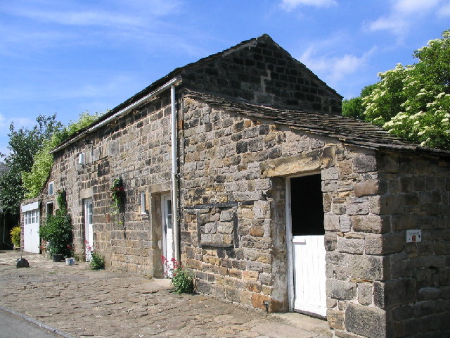
End is known for its rich history, with evidence of human settlement dating back to the prehistoric era. The village is home to several historic buildings, including a 12th-century church which stands as a testament to its long-standing heritage. The local community takes pride in preserving and celebrating the village's history, often organizing events and activities that showcase its past.
Despite its small size, End offers a range of amenities to its residents. The village has a primary school, providing education for local children, and a community center that hosts various social events and gatherings. Additionally, there are a few local shops and pubs that cater to the needs of the community.
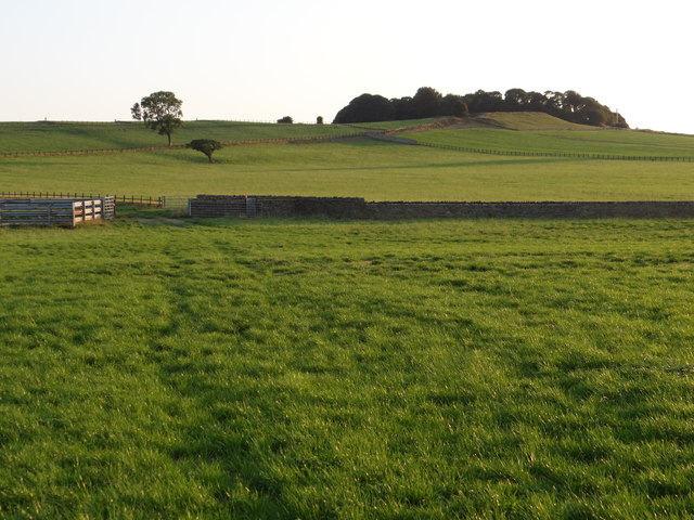
For outdoor enthusiasts, End provides ample opportunities for exploring the surrounding countryside. The village is surrounded by rolling hills, picturesque walking trails, and nearby nature reserves, making it an ideal location for hiking, cycling, and wildlife spotting. The area is also known for its beautiful landscapes, attracting tourists and nature lovers from all over.
Overall, End, West Yorkshire offers a charming rural setting, a close-knit community, and easy access to both natural beauty and urban amenities. It is a place where history and nature intertwine, making it a desirable destination for those seeking a peaceful and idyllic lifestyle.
If you have any feedback on the listing, please let us know in the comments section below.
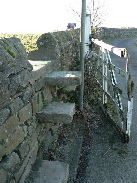
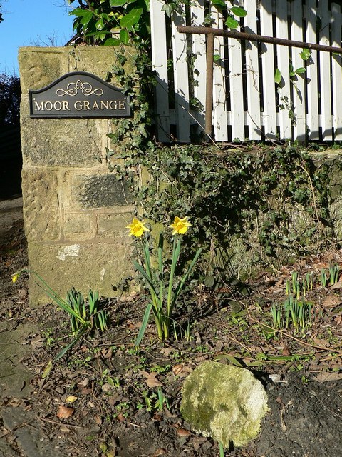
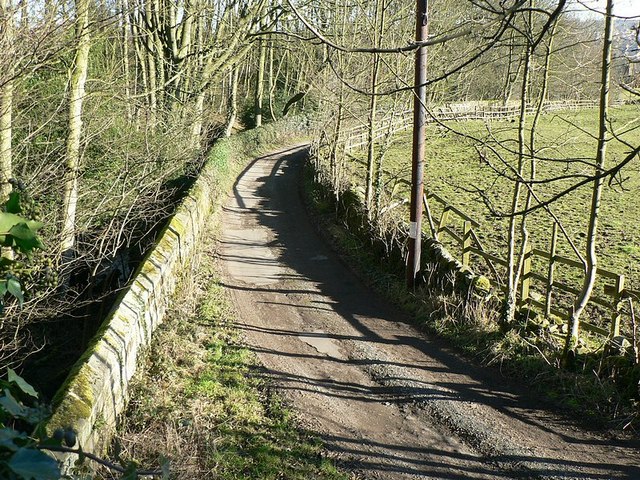
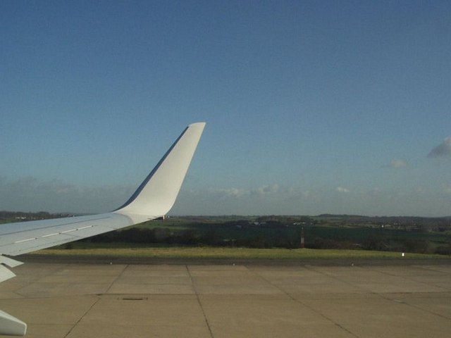
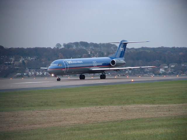
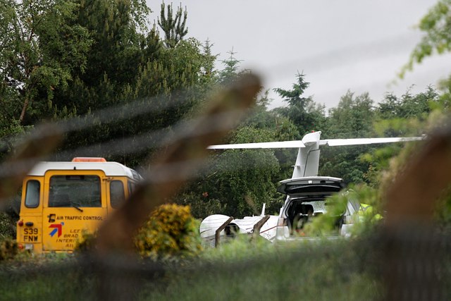
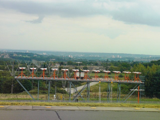
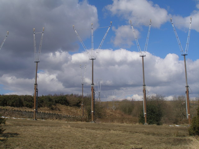
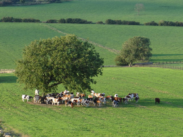
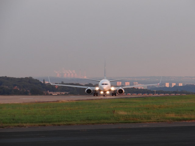
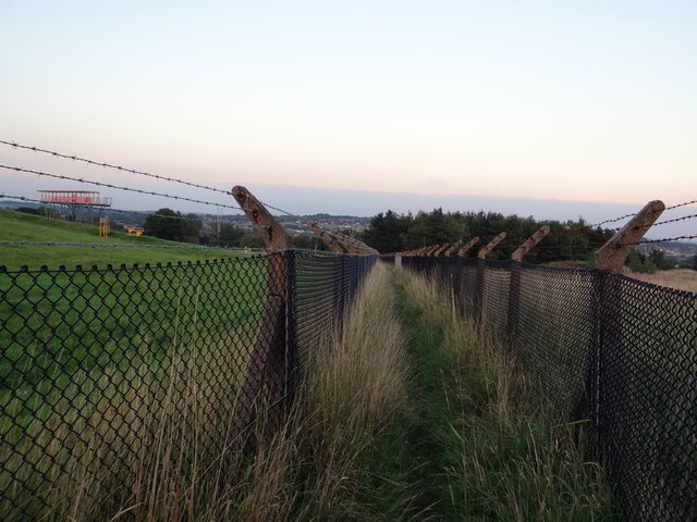
End, West Images
Images are sourced within 2km of 53.841886/-1.653908 or Grid Reference SE2238. Thanks to Geograph Open Source API. All images are credited.
End, West is located at Grid Ref: SE2238 (Lat: 53.841886, Lng: -1.653908)
Division: West Riding
Unitary Authority: Leeds
Police Authority: West Yorkshire
What 3 Words
///employ.dairy.able. Near Horsforth, West Yorkshire
Related Wikis
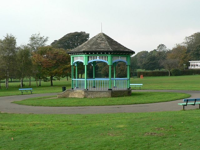
Horsforth Hall Park
Horsforth Hall Park is a large community park in Horsforth, West Yorkshire, England, approximately six miles from Leeds city centre. The park's attractions...

Hall Park Ground
Hall Park Ground in Horsforth, near Leeds, Yorkshire, England is a cricket ground. The ground was the location of a first-class cricket match in August...

Leeds Trinity University
Leeds Trinity University is a public university in Horsforth, Leeds, West Yorkshire, England. Originally established to provide qualified teachers to Catholic...

Horsforth School
Horsforth School is a science specialist secondary school with academy status in Leeds, West Yorkshire, England. Opened in 1972 and located in Horsforth...

Horsforth
Horsforth is a town and civil parish in the City of Leeds, West Yorkshire, England, five miles north-west of Leeds city centre. Historically a village...

Grove Methodist Church
The Grove Methodist Church is a Grade II listed Methodist church in the village of Horsforth, Leeds, England, part of the Leeds South and West Methodist...

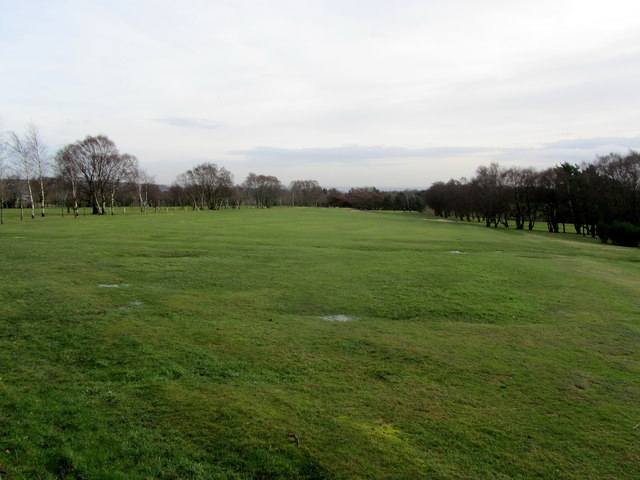
Horsforth Golf Club
Horsforth Golf Club is a golf club in the town of Horsforth in West Yorkshire, England. It is located next to Leeds Bradford Airport. It was established...

Calverley and Rodley railway station
Calverley and Rodley railway station, originally called Calverley Bridge Station for the nearby river crossing, is a closed railway station on the line...
Nearby Amenities
Located within 500m of 53.841886,-1.653908Have you been to End, West?
Leave your review of End, West below (or comments, questions and feedback).