West End
Settlement in Yorkshire
England
West End
West End is a charming village located in the county of Yorkshire, in the northern region of England. Situated in the heart of the picturesque Yorkshire Dales, this tranquil village offers an idyllic countryside setting with stunning natural beauty and a close-knit community.
West End is renowned for its rolling green hills, lush meadows, and beautiful landscapes that attract tourists and nature enthusiasts. The village is blessed with a mild climate, with warm summers and relatively mild winters, making it an ideal destination for outdoor activities throughout the year.
The village itself is small but boasts a range of amenities that cater to the needs of its residents and visitors. West End has a local pub, a few small shops, and a primary school that serves the surrounding areas. The village is proud of its strong community spirit and hosts regular events and gatherings that bring residents together.
For those seeking outdoor adventures, West End offers numerous opportunities for hiking, cycling, and exploring the surrounding areas. The village is also located close to several popular tourist attractions, including historic castles, charming market towns, and the famous Yorkshire Dales National Park.
Transportation in West End is convenient, with good road links to nearby towns and cities. The village is also well-connected via public transportation, with regular bus services that connect to the wider region.
In summary, West End is a delightful village nestled in the picturesque Yorkshire Dales, offering a peaceful countryside lifestyle, stunning natural beauty, and a strong sense of community.
If you have any feedback on the listing, please let us know in the comments section below.
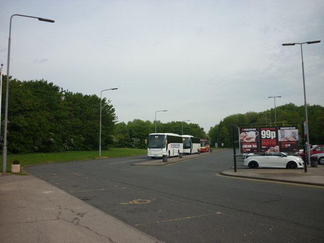
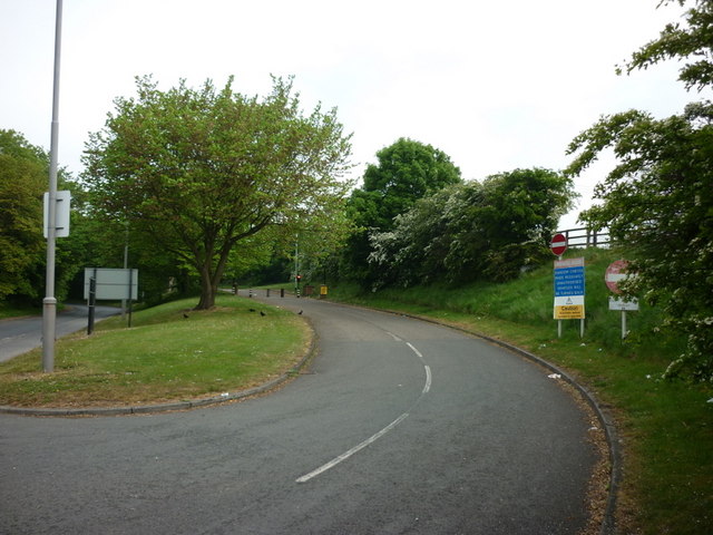
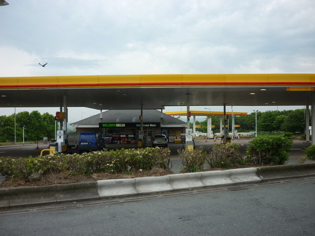
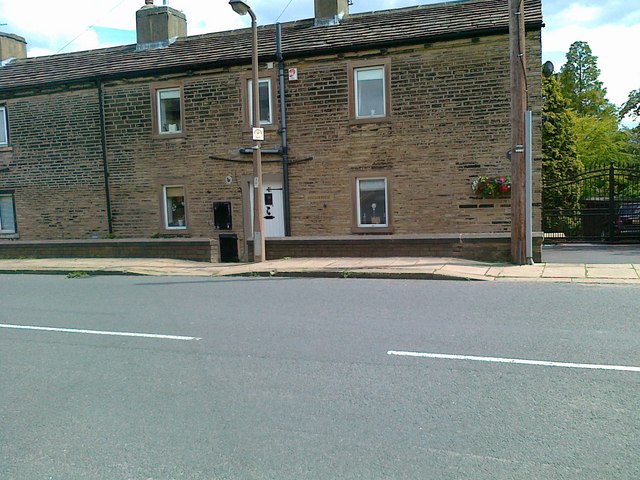
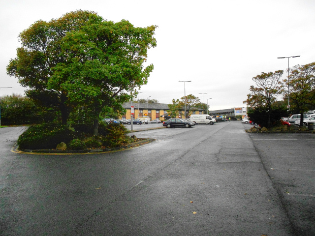
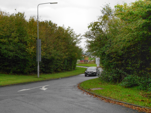
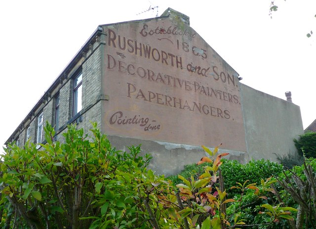
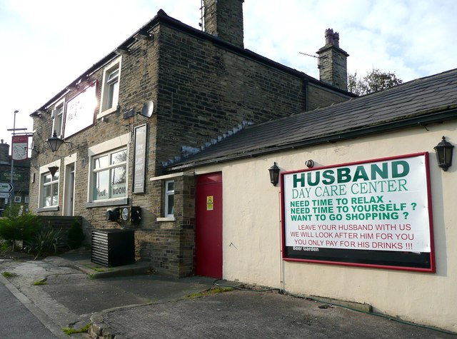
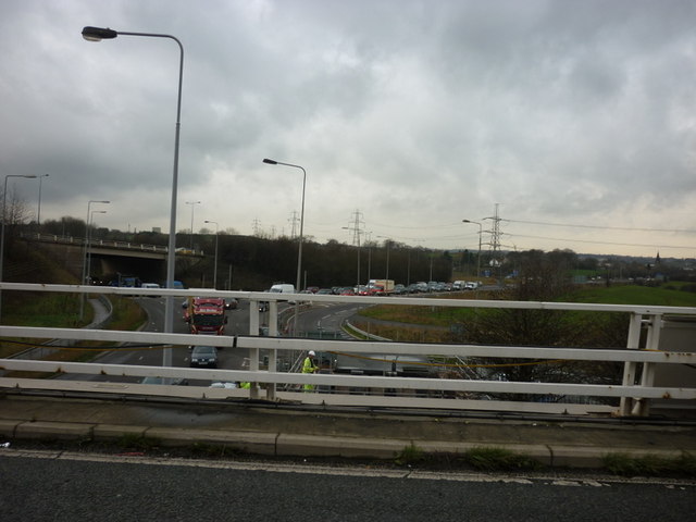
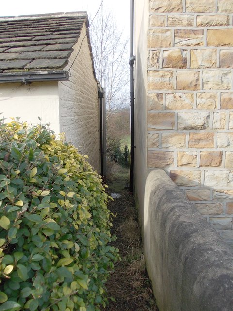
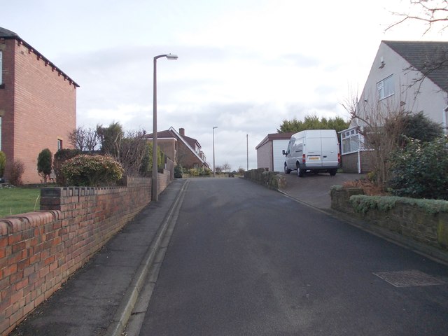
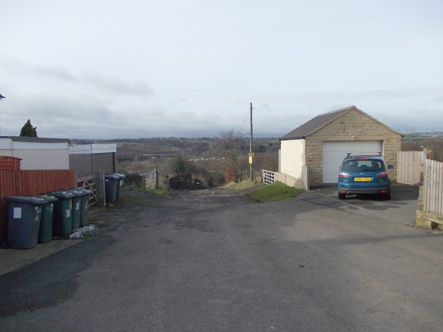
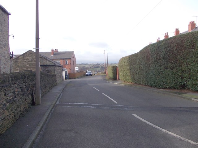
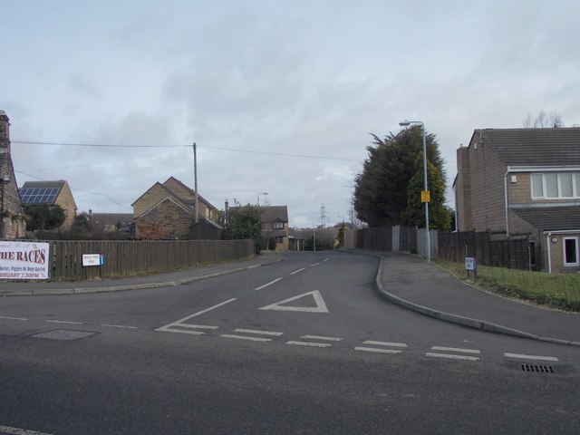
West End Images
Images are sourced within 2km of 53.725591/-1.728674 or Grid Reference SE1825. Thanks to Geograph Open Source API. All images are credited.
West End is located at Grid Ref: SE1825 (Lat: 53.725591, Lng: -1.728674)
Division: West Riding
Unitary Authority: Kirklees
Police Authority: West Yorkshire
What 3 Words
///ranks.mint.groups. Near Cleckheaton, West Yorkshire
Related Wikis

Whitcliffe Mount School
Whitcliffe Mount School is a mixed secondary school located in Cleckheaton, West Yorkshire, England. == History == It was established as Cleckheaton Secondary...

A643 road
The A643 is a main road between Leeds and Huddersfield in West Yorkshire, England. Its eastern end is at the Armley Gyratory roundabout on the western...

Whitechapel Church, Cleckheaton
Whitechapel Church, is an unusual church building located approximately half a mile north of Cleckheaton, West Yorkshire, England. It was built in 1820...

Cleckheaton
Cleckheaton is a town in Kirklees, West Yorkshire, England. Historically part of the West Riding of Yorkshire, it is situated south of Bradford, east of...

Cleckheaton Central railway station
Cleckheaton Central railway station was a railway station serving the West Yorkshire town of Cleckheaton, England, until it was closed in the Beeching...

Scholes, Cleckheaton
Scholes is a village near Cleckheaton, West Yorkshire, England. The village is 5 miles (8 km) south of Bradford between Wyke and Cleckheaton near to the...
Cleckheaton Town Hall
Cleckheaton Town Hall is a municipal building in Bradford Road, Cleckheaton, West Yorkshire, England. The town hall, which was the headquarters of Spenborough...
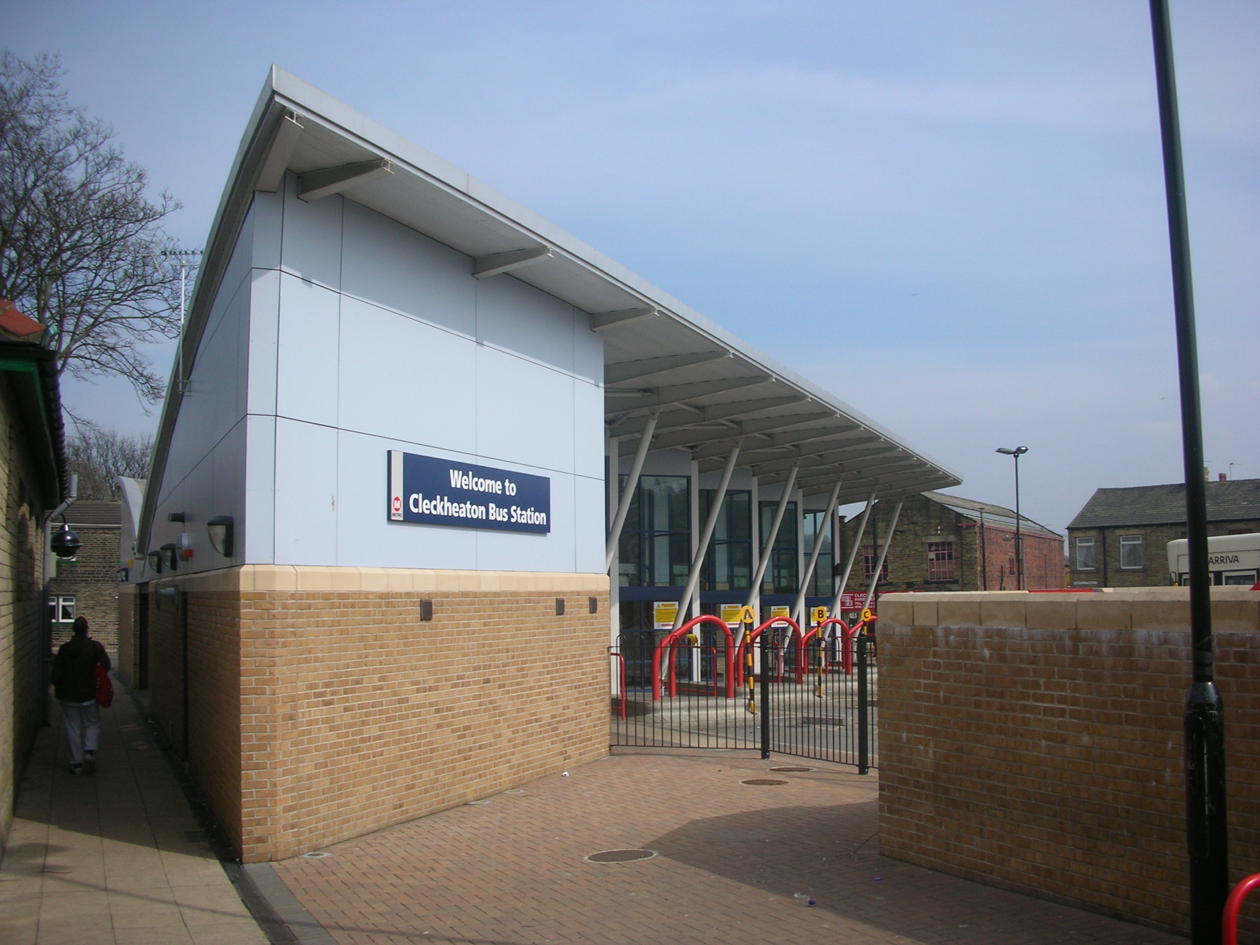
Cleckheaton bus station
Cleckheaton bus station serves the town of Cleckheaton, West Yorkshire, England. The station is owned and maintained by West Yorkshire Metro. It is situated...
Nearby Amenities
Located within 500m of 53.725591,-1.728674Have you been to West End?
Leave your review of West End below (or comments, questions and feedback).