West Cornforth
Settlement in Durham
England
West Cornforth
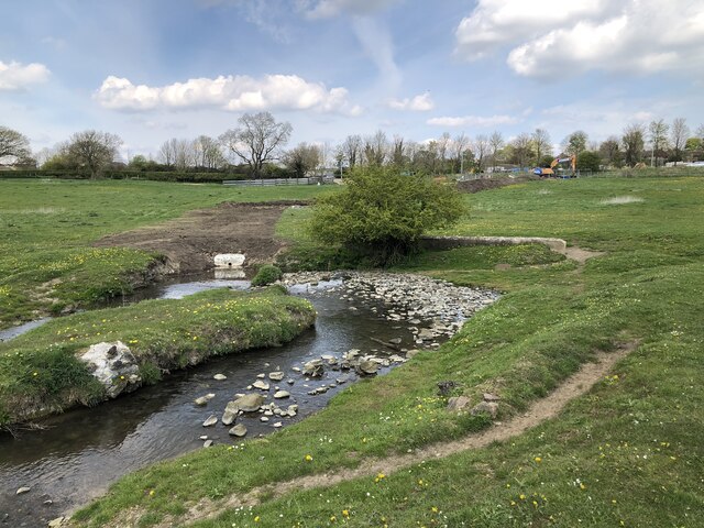
West Cornforth is a small village located in County Durham, England. Situated approximately 9 miles southwest of Durham city center, it lies on the eastern banks of the River Skerne. The village is part of the larger Cornforth civil parish and is bordered by the A1(M) motorway to the east.
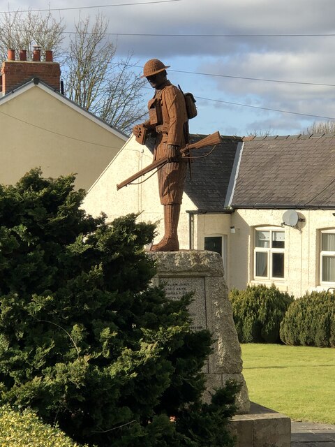
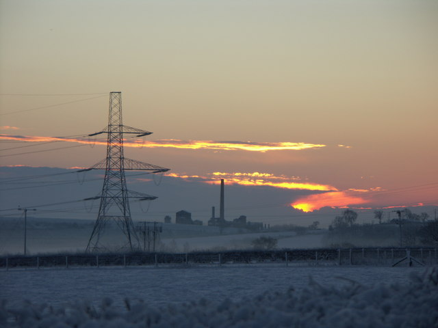
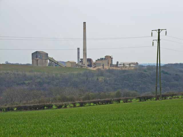
Historically, West Cornforth emerged as a mining community in the late 19th century, with the opening of the West Cornforth Colliery in 1889. The coal industry played a pivotal role in shaping the village's growth and economy, attracting a significant number of miners and their families to settle in the area. However, the colliery ceased operations in 1966, leading to a decline in the mining industry's influence and subsequent economic changes.
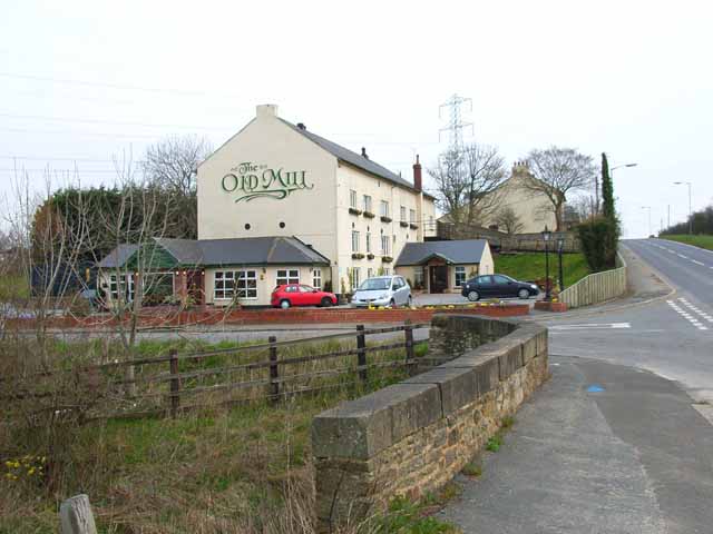
Today, West Cornforth is a predominantly residential area with a close-knit community. It offers a range of amenities, including a primary school, local shops, a community center, and a public library. The village also boasts several green spaces, such as Cornforth Park, which provides recreational opportunities for residents.
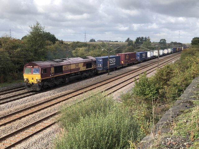
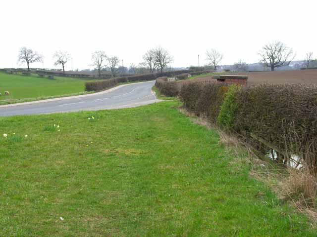
Transportation in West Cornforth is primarily road-based, with the A1(M) providing convenient access to neighboring towns and cities. Additionally, the village is served by regular bus services connecting it to nearby areas.
In summary, West Cornforth is a former mining village in County Durham with a rich industrial heritage. Despite the decline of the coal industry, it remains a pleasant place to live, offering essential amenities and a strong sense of community.
If you have any feedback on the listing, please let us know in the comments section below.
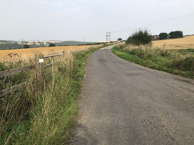
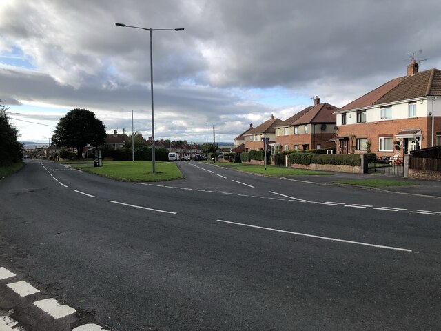
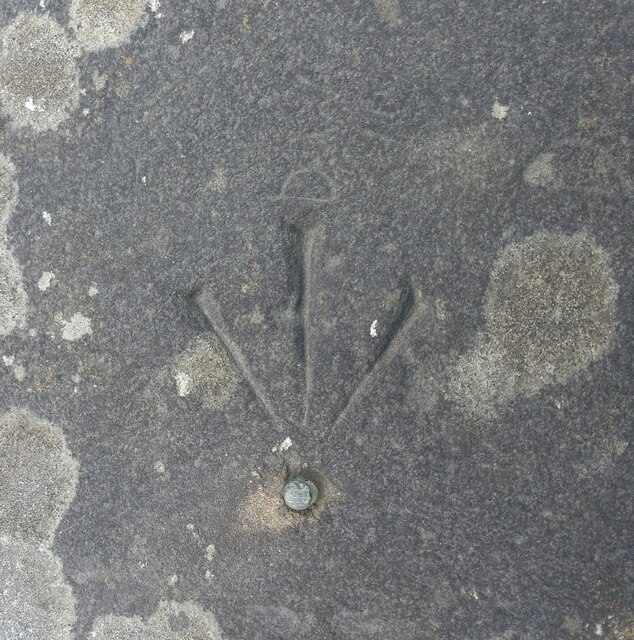
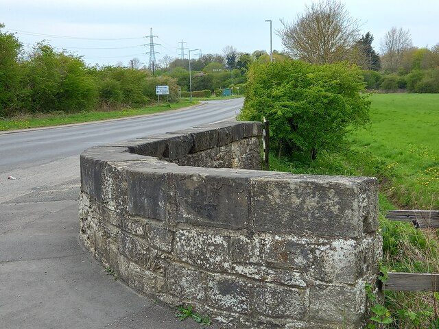
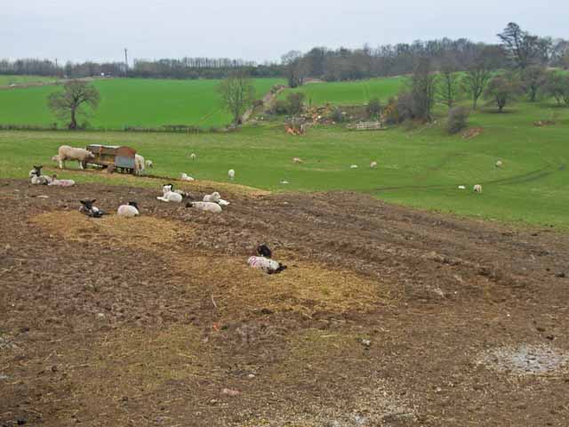
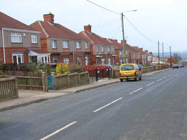
West Cornforth Images
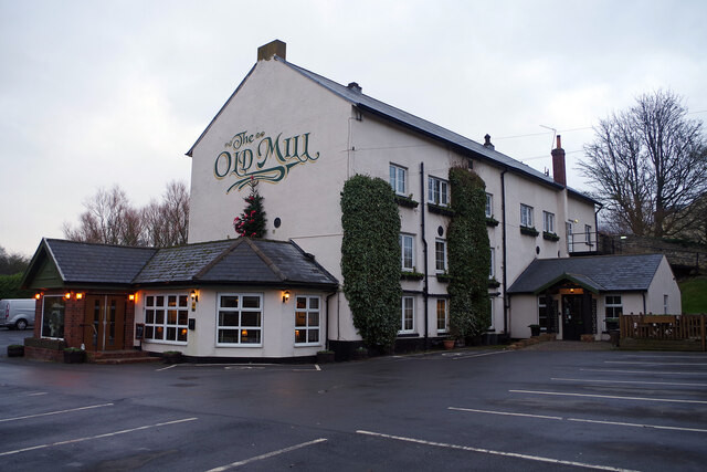
Images are sourced within 2km of 54.697414/-1.5123083 or Grid Reference NZ3133. Thanks to Geograph Open Source API. All images are credited.
West Cornforth is located at Grid Ref: NZ3133 (Lat: 54.697414, Lng: -1.5123083)
Unitary Authority: County Durham
Police Authority: Durham
What 3 Words
///quilting.offer.replaces. Near West Cornforth, Co. Durham
Nearby Locations
Related Wikis

West Cornforth
West Cornforth is a village in County Durham, in England. It is situated to the south of Cornforth, near the A1(M) motorway, Coxhoe, Ferryhill and Spennymoor...

Cornforth
Cornforth is a village in County Durham, England. It is adjacent to the village of West Cornforth, situated a short distance to the north-east of Ferryhill...
Thrislington Plantation
Thrislington Plantation is a Site of Special Scientific Interest and a national nature reserve in the Sedgefield district of County Durham, England. It...

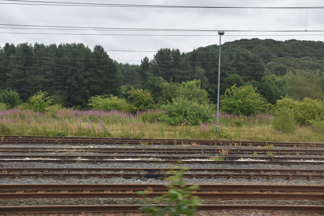
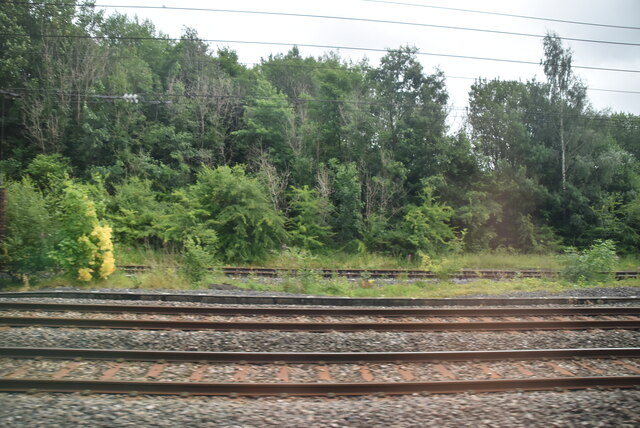
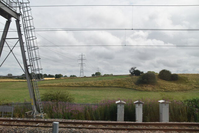
West Cornforth railway station
West Cornforth railway station served the village of West Cornforth, County Durham, England, from 1866 to 1952 on the Great North of England, Clarence...

Coxhoe Bridge railway station
Coxhoe Bridge railway station served the village of Coxhoe, County Durham, England, from 1846 to 1984 on the Hartlepool–Ferryhill Line. == History == The...
The Carrs
The Carrs is a Site of Special Scientific Interest in the Sedgefield district of County Durham, England. It is situated on the eastern outskirts of Ferryhill...
Coxhoe
Coxhoe is a village in County Durham, England. It is situated about 5 miles (8 km) south of Durham City centre. The civil parish also includes nearby Quarrington...

Bishop Middleham Quarry
Bishop Middleham Quarry is a disused quarry, about 4 kilometres (2.5 mi) north-west of Sedgefield, County Durham, England. Quarry-working here ceased in...
Nearby Amenities
Located within 500m of 54.697414,-1.5123083Have you been to West Cornforth?
Leave your review of West Cornforth below (or comments, questions and feedback).