Clyne, West

Settlement in Sutherland

Scotland

Clyne, West

Level Crossing, Saltre, Brora
Level Crossing, Saltre, Brora Credit: Bill Henderson

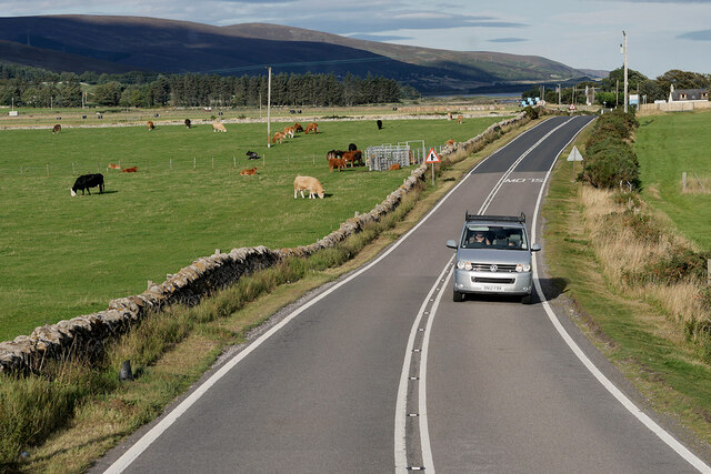
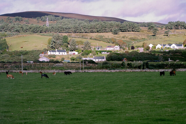
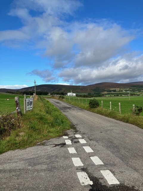
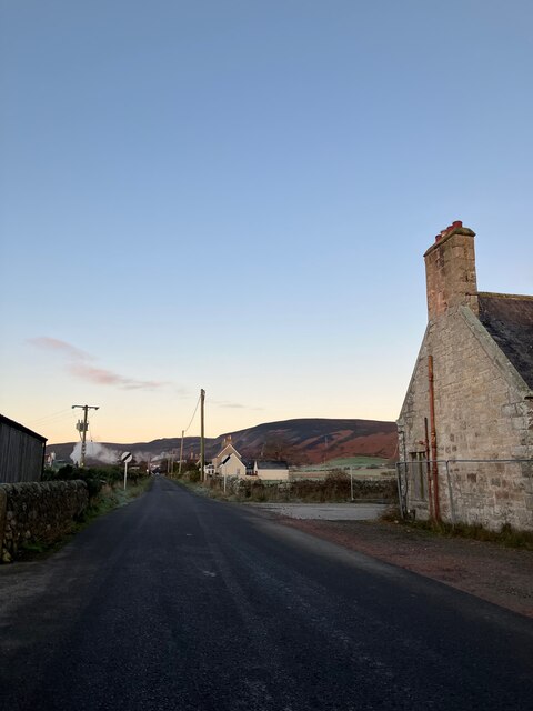
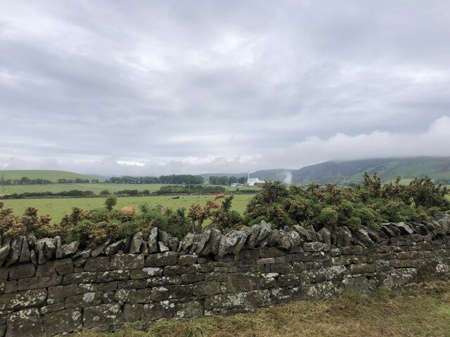
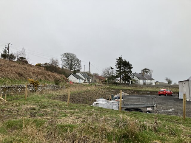
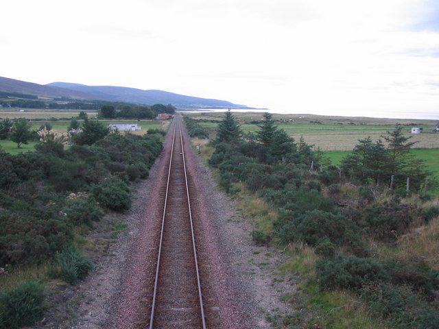
Clyne, West, Sutherland is a small rural area located in the Highlands of Scotland. Situated in the county of Sutherland, it is part of the larger region of West Sutherland. The region is known for its stunning natural beauty, with rolling hills, picturesque lochs, and breathtaking landscapes.

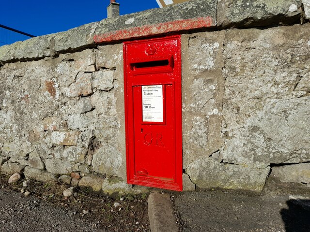
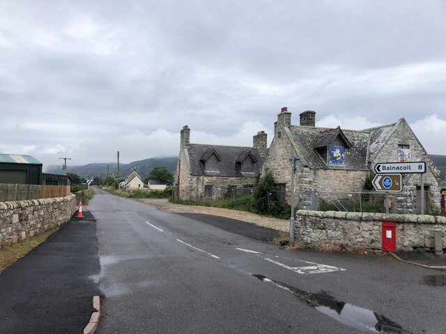
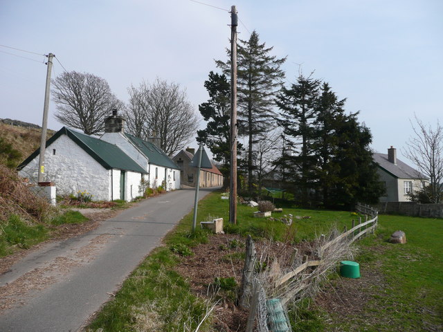
Clyne is a close-knit community with a population of around 200 residents. Its main settlement, also called Clyne, is a charming village with a few local amenities, including a small grocery store, a post office, and a primary school. The village is surrounded by vast open spaces, providing its residents with a peaceful and tranquil lifestyle.

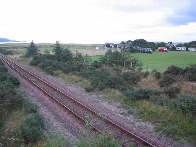
The area is renowned for its outdoor recreational activities, attracting visitors from far and wide. The nearby Loch Shin is a popular spot for fishing, boating, and water sports, while the surrounding hills and moorlands offer excellent opportunities for hiking, cycling, and wildlife spotting. The region is also home to several nature reserves, such as the Forsinard Flows, which provide habitats for a variety of bird species and other wildlife.

Clyne is rich in history and heritage, with several ancient sites and landmarks scattered throughout the area. The nearby ruins of Carbisdale Castle, a former hunting lodge, are a testament to the region's past. In addition, the surrounding countryside is dotted with traditional crofts and farmsteads, adding to the area's rustic charm.

Overall, Clyne, West, Sutherland is a picturesque and idyllic location, offering a peaceful retreat for both residents and visitors seeking a taste of rural Scottish life.

If you have any feedback on the listing, please let us know in the comments section below.

Clyne, West Images

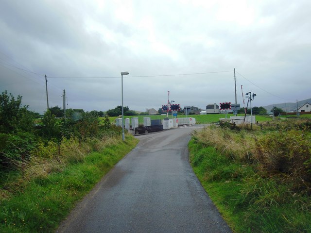
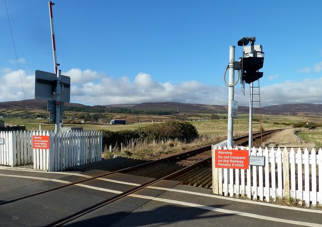
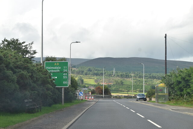
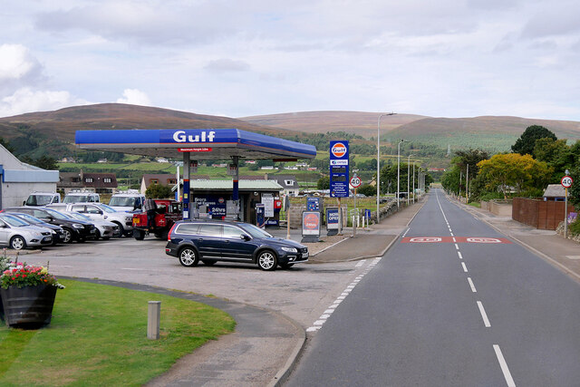
Images are sourced within 2km of 58.027959/-3.8824234 or Grid Reference NC8805. Thanks to Geograph Open Source API. All images are credited.

Level Crossing, Saltre, Brora
Glashbuie Level Crossing A crossing on the northern line near Brora.
Glashbuie Level Crossing
A crossing on the northern line near Brora.
A9, northbound The A9 is a strategic link between the Highlands of Scotland and the Central Belt. It runs 279 miles from junction 5 of the M9 at Polmont to Scrabster. Originally it ran from Edinburgh.
<span class="nowrap"><a title="https://www.sabre-roads.org.uk/wiki/index.php?title=A9" rel="nofollow ugc noopener" href="https://www.sabre-roads.org.uk/wiki/index.php?title=A9">Link</a><img style="margin-left:2px;" alt="External link" title="External link - shift click to open in new window" src="https://s1.geograph.org.uk/img/external.png" width="10" height="10"/></span>
A9, northbound
The A9 is a strategic link between the Highlands of Scotland and the Central Belt. It runs 279 miles from junction 5 of the M9 at Polmont to Scrabster. Originally it ran from Edinburgh. LinkExternal link
Brora Fuel Express Gulf filling station on Victoria Road (A9), Brora.
Brora Fuel Express
Gulf filling station on Victoria Road (A9), Brora.
A9 north of Brora The A9 is a strategic link between the Highlands of Scotland and the Central Belt. Running for 273 miles, it is the longest road in Scotland and the fifth-longest A-road in the United Kingdom. Historically it was the main road between Edinburgh and John o' Groats but its importance has been eclipsed somewhat in the south by the A90 across the Forth Road Bridge and the M90 motorway, which now links Edinburgh more directly with Perth, and the M9, which is now the main road between Edinburgh and Bridge of Allan.
A9 north of Brora
The A9 is a strategic link between the Highlands of Scotland and the Central Belt. Running for 273 miles, it is the longest road in Scotland and the fifth-longest A-road in the United Kingdom. Historically it was the main road between Edinburgh and John o' Groats but its importance has been eclipsed somewhat in the south by the A90 across the Forth Road Bridge and the M90 motorway, which now links Edinburgh more directly with Perth, and the M9, which is now the main road between Edinburgh and Bridge of Allan.
Cattle Grazing near East Clyne View from the A9
Cattle Grazing near East Clyne
View from the A9
Building at Brora Cemetery Likely used for storage.
Building at Brora Cemetery
Likely used for storage.
Crossroads just outside Brora
On the way to the Clynelish Distillery
Postbox at Brora KW9 64. Royal Mail list this box as 'Clynelish Brora'.
Postbox at Brora
KW9 64. Royal Mail list this box as 'Clynelish Brora'.
Dry stone wall beside the A9 In the distance is Clynelish Distillery
Dry stone wall beside the A9
In the distance is Clynelish Distillery
Clyne Parish School Listed Category C and built c 1863. A new school was built in 1903 and this building has remained unoccupied since at least 2003. A project to transform the school into a community heritage centre and visitor destination received a grant from the Scottish Government's Regeneration Capital Grant fund of £450,000 in April 2022.
Clyne Parish School
Listed Category C and built c 1863. A new school was built in 1903 and this building has remained unoccupied since at least 2003. A project to transform the school into a community heritage centre and visitor destination received a grant from the Scottish Government's Regeneration Capital Grant fund of £450,000 in April 2022.
Road to Achrimsdale
Road to Achrimsdale
Study of a Gasoline Station Derelict, Brora.

 This photograph is part of a series taken in homage to the American artist Ed Ruscha's 1963 publication of 'Twentysix Gasoline Stations'.
 More properly known as filling stations in the UK, I am attempting to photograph as many as possible to mark the sixty year anniversary.
Study of a Gasoline Station
Derelict, Brora. This photograph is part of a series taken in homage to the American artist Ed Ruscha's 1963 publication of 'Twentysix Gasoline Stations'. More properly known as filling stations in the UK, I am attempting to photograph as many as possible to mark the sixty year anniversary.
Study of a Gasoline Station Gulf, Brora.

This photograph is part of a series taken in homage to the American artist Ed Ruscha's 1963 publication of 'Twentysix Gasoline Stations'.
More properly known as filling stations in the UK, I am attempting to photograph as many as possible to mark the sixty year anniversary.
Study of a Gasoline Station
Gulf, Brora. This photograph is part of a series taken in homage to the American artist Ed Ruscha's 1963 publication of 'Twentysix Gasoline Stations'. More properly known as filling stations in the UK, I am attempting to photograph as many as possible to mark the sixty year anniversary.
Junction for Achrimsdale and East Clyne A view looking along the A9 at the junction with the minor road to Achrimsdale and East Clyne. Note that some wag has altered the roadsign to "Fast Clyne".
Junction for Achrimsdale and East Clyne
A view looking along the A9 at the junction with the minor road to Achrimsdale and East Clyne. Note that some wag has altered the roadsign to "Fast Clyne".
Railside campsite A view looking to the northeast over the railway line towards one of the two campsites at Dalchalm. The other, a Caravan Club site, is out of view behind the trees at right.
Railside campsite
A view looking to the northeast over the railway line towards one of the two campsites at Dalchalm. The other, a Caravan Club site, is out of view behind the trees at right.
Rails to Thurso and Wick A view looking northeast along the railway line from the overbridge at Dalchalm. Lothbeg point is visible in the distance.
Rails to Thurso and Wick
A view looking northeast along the railway line from the overbridge at Dalchalm. Lothbeg point is visible in the distance.
Show me another place!

Clyne, West is located at Grid Ref: NC8805 (Lat: 58.027959, Lng: -3.8824234)

Unitary Authority: Highland

Police Authority: Highlands and Islands

What 3 Words

///freely.searcher.twinkling. Near Brora, Highland

Nearby Locations

West Clyne Clyne, West

Related Wikis

Brora distillery

Brora distillery is a producer of single malt Scotch whisky based in Brora, Scotland. It operated between 1819 and 1983 before being mothballed until 2021...

Clynelish distillery

Clynelish distillery is a distillery near Brora, Sutherland in the Highlands of Scotland. The original Clynelish distillery was built in 1819, adjacent...
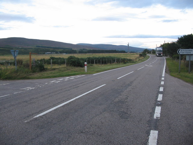
Achrimsdale

Achrimsdale (Scottish Gaelic: Achadh Rumasdail) is a village in Highland, Scotland. == References ==

River Brora

The River Brora (Scottish Gaelic: Brùra) is an east-flowing river in Sutherland in the Highlands of Scotland. It is formed where its headwater streams...

Nearby Amenities

Located within 500m of 58.027959,-3.8824234
Design: barrel
Power: tower
Lat/Long: 58.0270721/-3.8813806
Design: barrel
Power: tower
Tower Type: branch
Lat/Long: 58.0292194/-3.8840555
Design: barrel
Power: tower
Lat/Long: 58.0251947/-3.8796796
Design: barrel
Power: tower
Lat/Long: 58.0278488/-3.8894721
Design: barrel
Power: tower
Lat/Long: 58.0291451/-3.8838743
Design: barrel
Power: tower
Lat/Long: 58.0300511/-3.880759
Turning Circle
Lat/Long: 58.0263456/-3.8754755
West Clyne
Name Gd: Clìn an Iar
Place: hamlet
Lat/Long: 58.0269119/-3.8890056
The data included in this document is from www.openstreetmap.org. The data is made available under ODbL.

Have you been to Clyne, West?

Leave your review of Clyne, West below (or comments, questions and feedback).